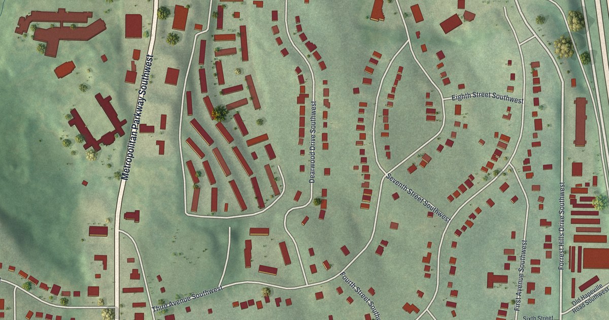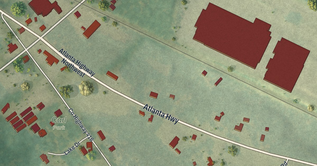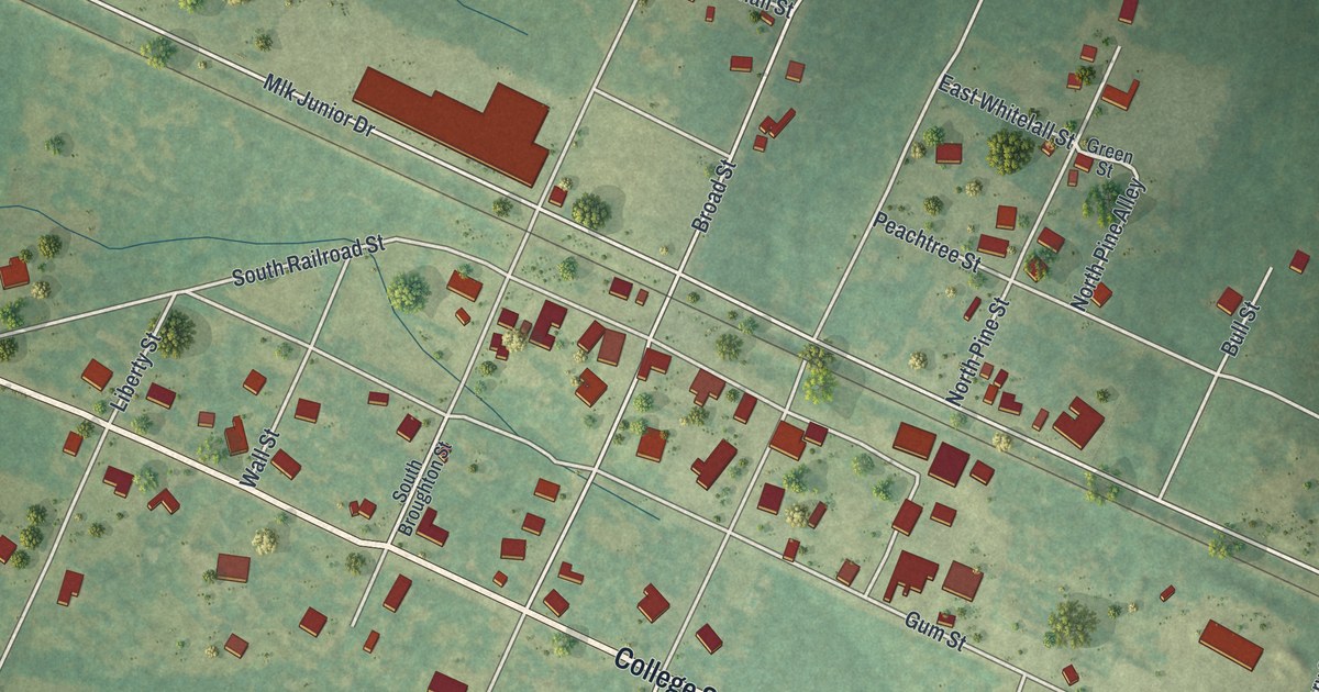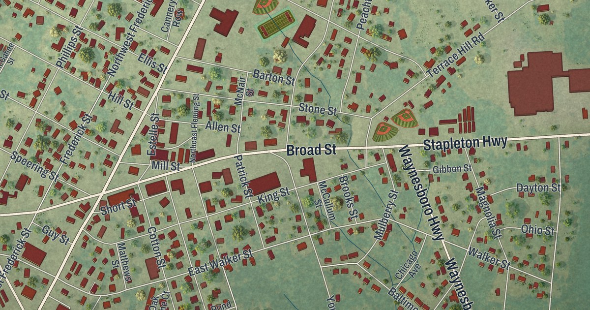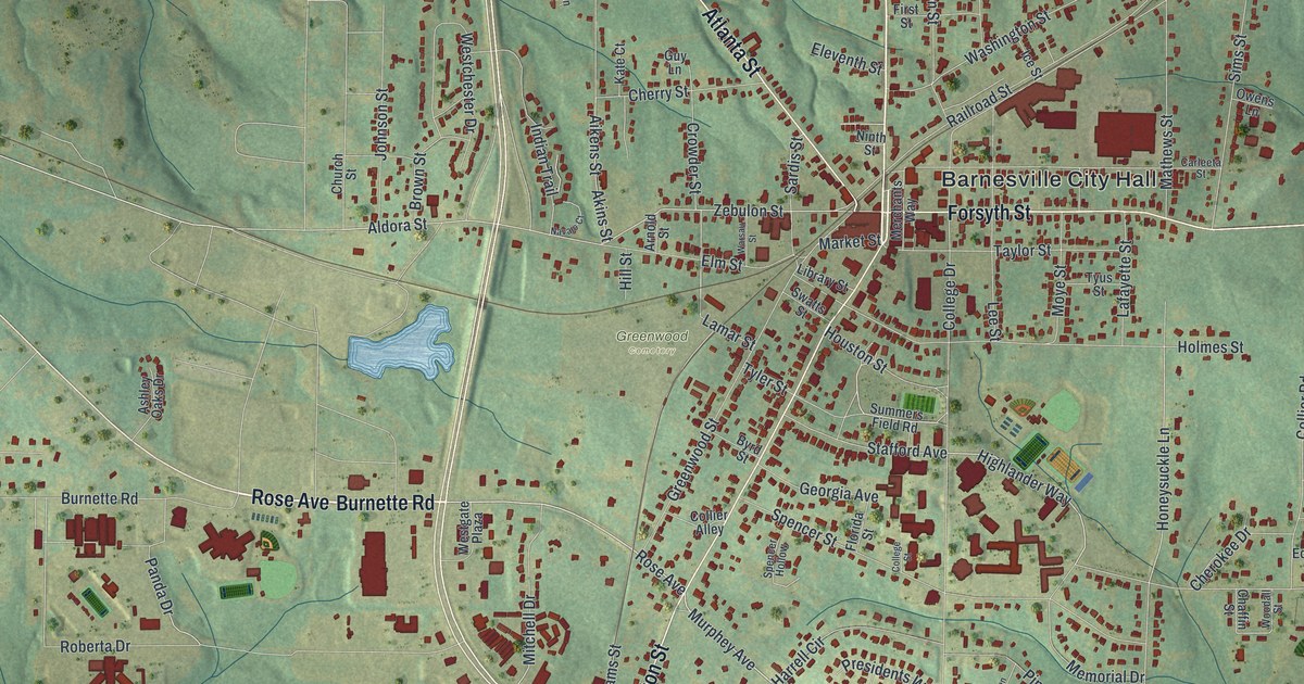
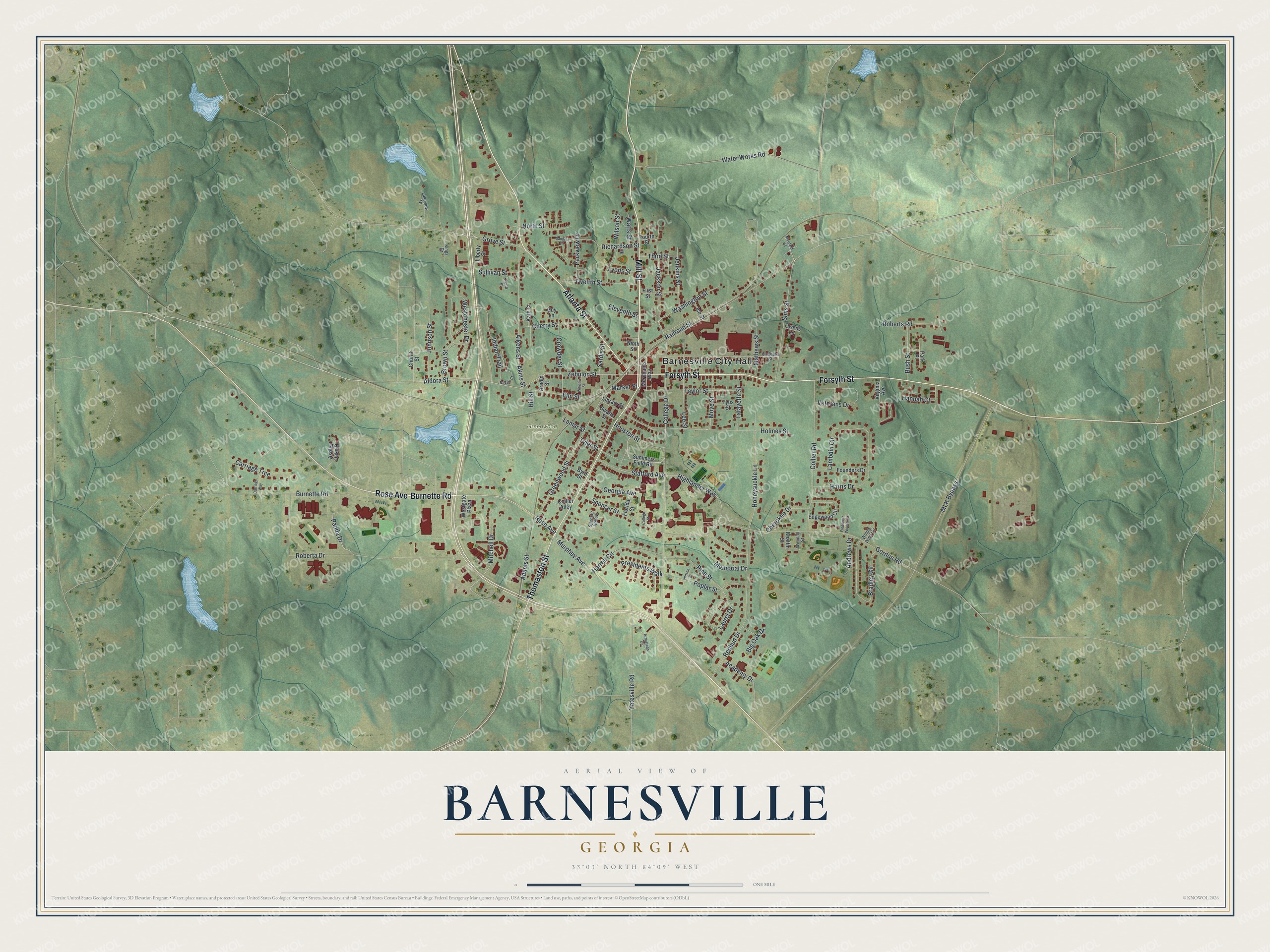
This beautifully detailed map of Barnesville, Georgia was created in 2026 using aerial imagery combined with modern topographical, census, street and landmark data. It’s a one-of-a-kind view of Barnesville that combines accurate data with a vintage aesthetic. The map shows every building in its true location, many of the roads carry their names, and the shaded topographic relief shows the shape of the land.
Explore an aerial view of Barnesville, Georgia
On the map you’ll find Barnesville City Hall and Greenwood Cemetery, along with Burnette Road, Rose Avenue, Mill Street, Thomaston Street, and more. If you look closely you can even find your house accurately drawn in its correct location. Zoom in on the preview to look for yours.
Did You Know?
During the Civil War, Barnesville became a major hospital town for wounded Southern soldiers. Local families nursed the men in their own homes, and most recovered. One patient was General William B. Bate, wounded at Atlanta in August 1864. He later became governor of Tennessee and credited the kindness of the townspeople for his recovery.
Take a closer look at the Barnesville map
Names on this map
These names are printed on this map.
Places: Barnesville City Hall and Greenwood Cemetery.
Streets and roads: Burnette Road, Rose Avenue, Mill Street, Thomaston Street, Forsyth Street, Atlanta Street, Murphey Avenue, College Drive, Roberta Drive, Highlander Way, Zebulon Street, Honeysuckle Lane.
More street names, A to Z
Academy Drive, Adams Street, Aikens Street, Akins Street, Aldora Street, Andrews Drive, Armistead Circle, Arnold Street, Ashley Oaks Drive, Big Oak Drive, Bradley Circle, Brown Street, Bush Street, Byrd Street, Carleeta Street, Carriage Trce, Carriage Way, Chaffin Street, Cherokee Drive, Cherry Street, Church Street, College Street, Collier Alley, Collier Road, Crowder Street, Edgewood Circle, Eleventh Street, Elm Street, First Street, Florida Street, Founders Drive, Fourth Street, Georgia Avenue, Gordon Road, Greenwood Street, Grove Street, Guy Lane, Hannah Court, Harrell Circle, Harris Drive, Hill Street, Holmes Street, Houston Street, Ice Street, Indian Trail, Jackson Street, Jenkins Street, Jensen Street, Johnson Street, Kate Court, Kings Drive, Lafayette Street, Lakeview Drive, Lamar Street, Lambdin Circle, Laurel Drive, Lee Street, Liberty Street, Library Street, Lyons Street, Market Street, Mathews Street, Maynard Street, Memorial Drive, Merchants Way, Mitchell Drive, MLK Bypass, Moye Street, Navajo Court, Ninth Street, North Street, Owens Lane, Panda Drive, Park Place, Parkview Drive, Penn Street, Piedmont Woods Circle, Pine Street, Poplar Street, Presidents Walk, Railroad Street, Redbud Drive, Richardson Street, Roberts Road, Sanders Court, Sardis Street, Sims Street, Spencer Hollow, Spencer Street, Stafford Avenue, Sullivan Street, Summers Field Road, Swatts Street, Taylor Street, Third Street, Twelfth Street, Tyler Street, Tyus Street, Veterans Drive, Virginia Avenue, Warsau Street, Washington Street, Water Works Road, Watts Street, Westchester Drive, Westgate Plaza, Willow Wind Circle, Wilson Street, Woodall Street, Yatesville Road.
See it on a wall
The Barnesville map as a framed print. Swipe for more.


This beautifully detailed map of Barnesville makes an attractive addition to your office, library, or den, and it can even be used to teach children the geography and history of the area. It also makes a great gift for someone who left Barnesville and still calls it home. When you’re done exploring, click here to get your copy of the Barnesville map.