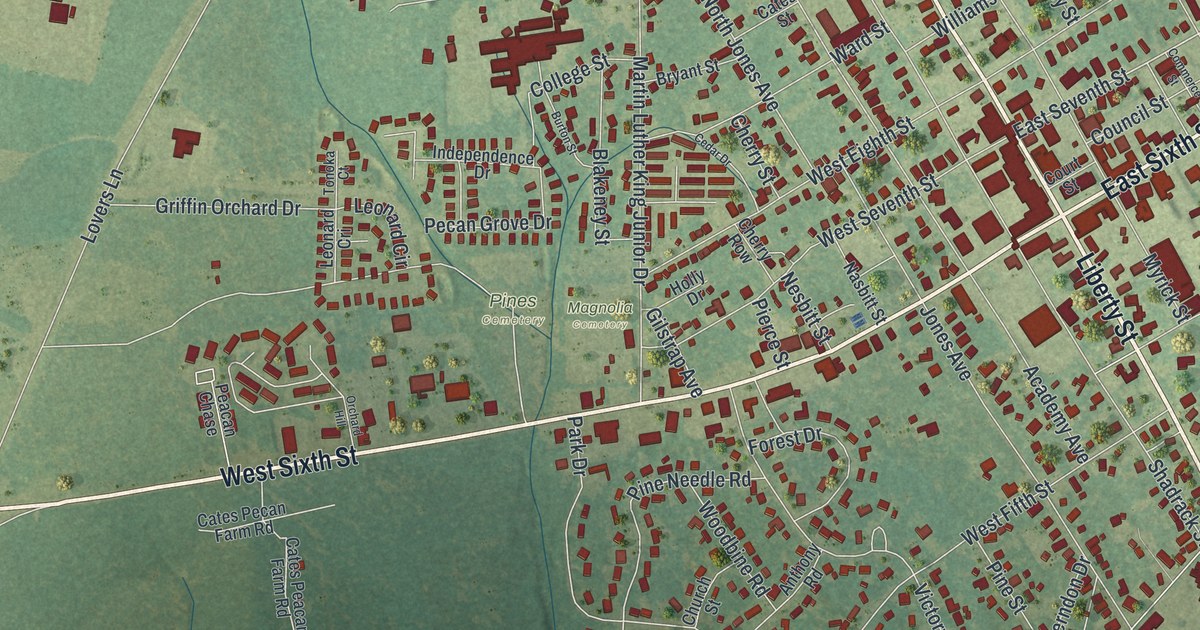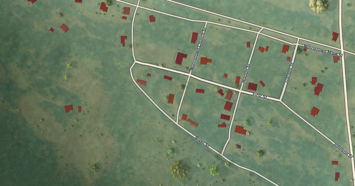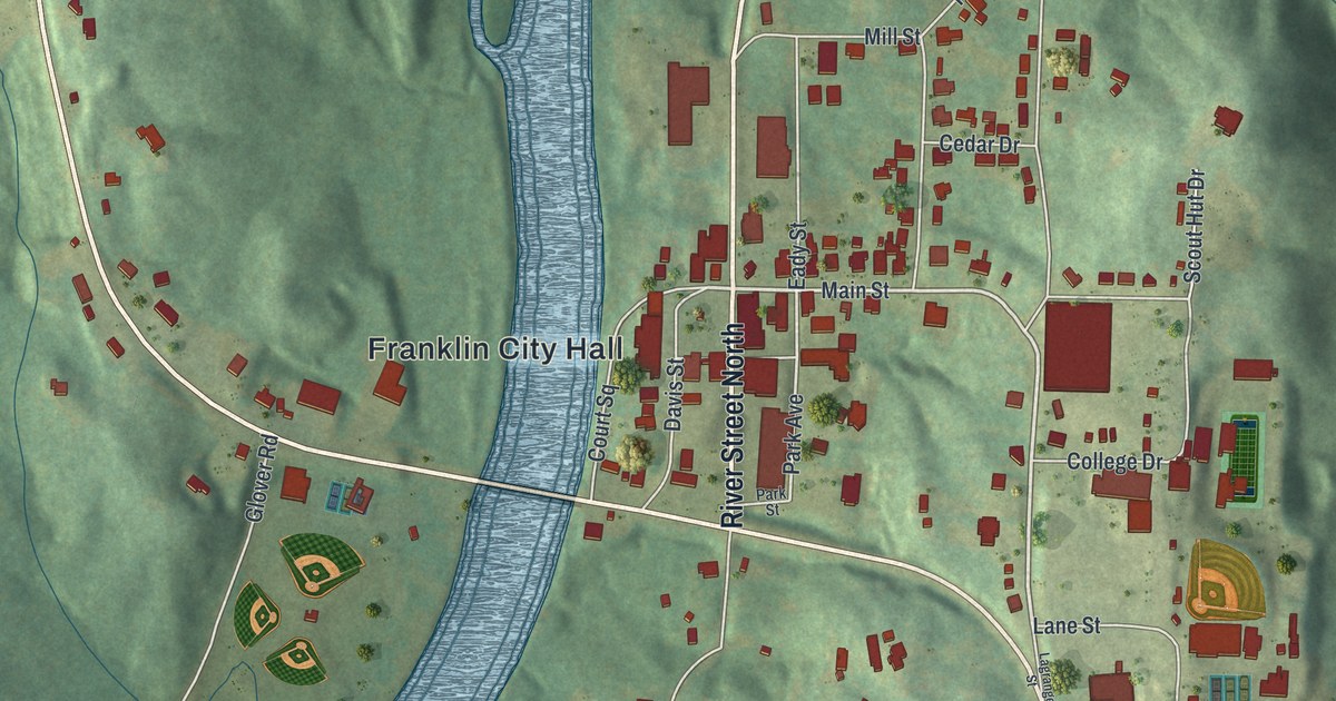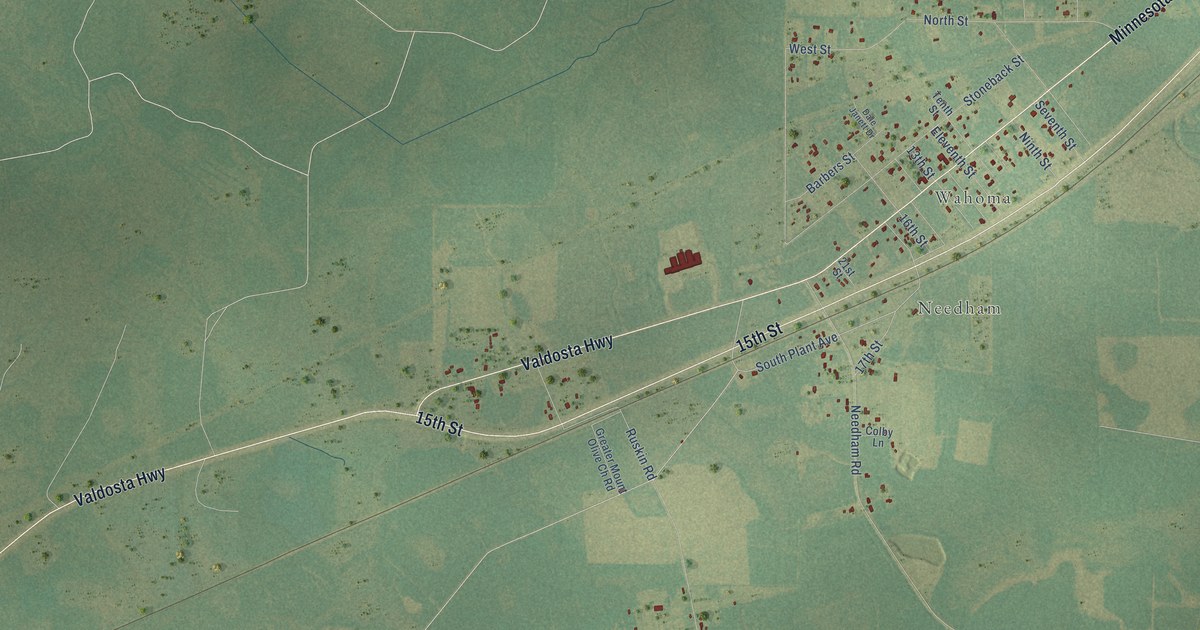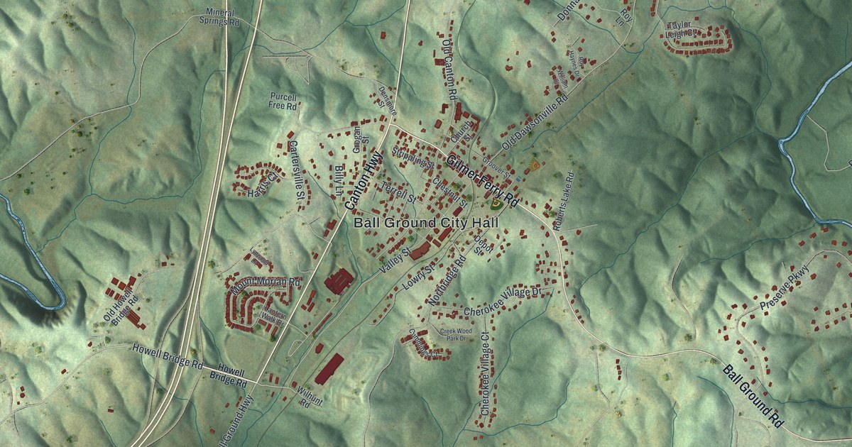
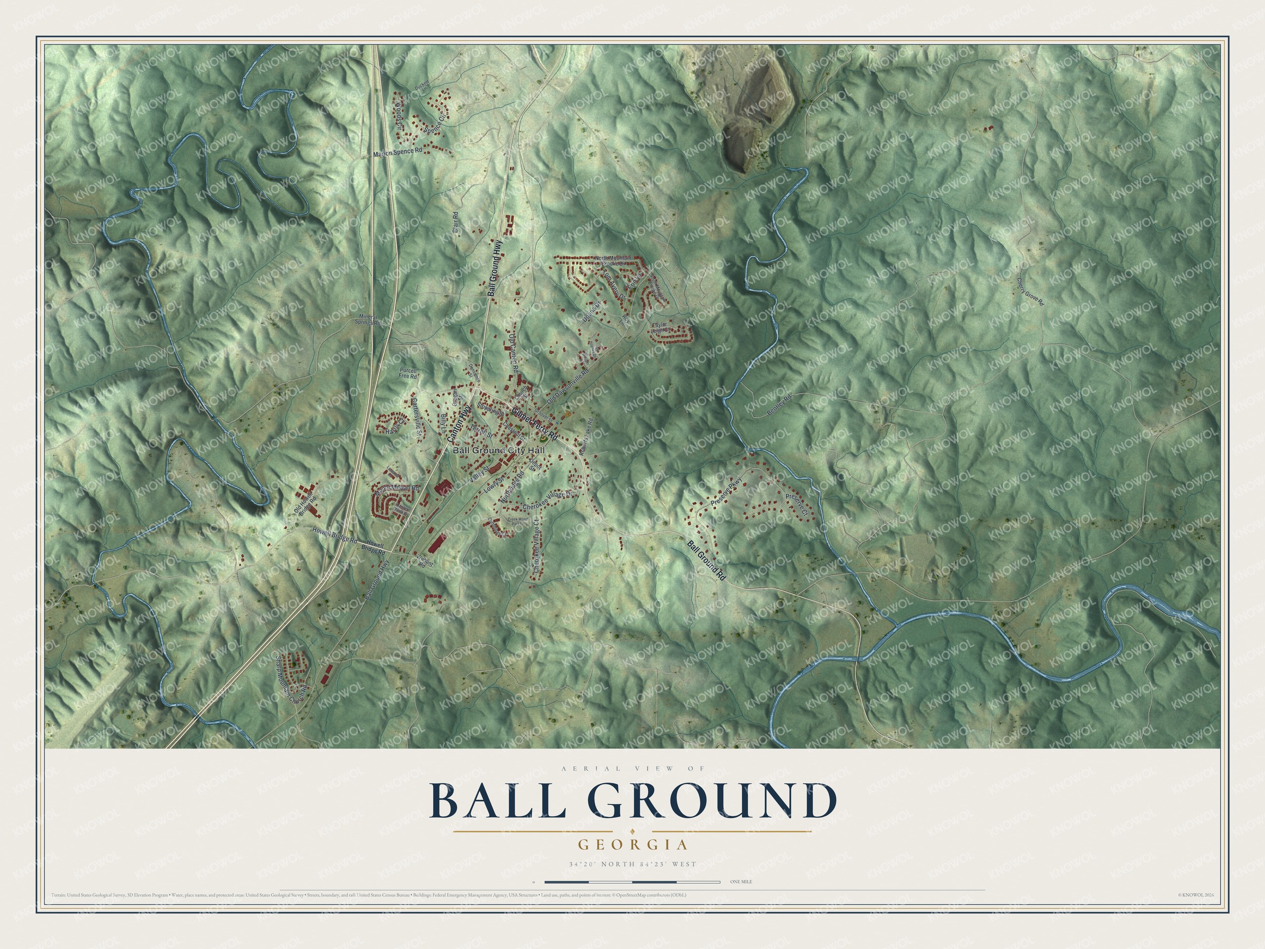
This beautifully detailed map of Ball Ground, Georgia was created in 2026 using aerial imagery combined with modern topographical, census, street and landmark data. It’s a one-of-a-kind view of Ball Ground that combines accurate data with a vintage aesthetic. The map shows every building in its true location, many of the roads carry their names, and the shaded topographic relief shows the shape of the land.
Explore an aerial view of Ball Ground, Georgia
On the map you’ll find Ball Ground City Hall, along with Canton Highway, Gilmer Ferry Road, Ball Ground Highway, Ball Ground Road, and more. If you look closely you can even find your house accurately drawn in its correct location. Zoom in on the preview to look for yours.
Did You Know?
Ball Ground was named for a large field where the Cherokee played a ball game much like lacrosse. Their ball was scraped deerskin stuffed with deer hair and sewn with sinew. The town grew up around a Marietta and North Georgia Railroad station and was incorporated in 1883. That’s from the 1940 WPA guide to Georgia.
Take a closer look at the Ball Ground map
Names on this map
These names are printed on this map.
Places: Ball Ground City Hall.
Streets and roads: Canton Highway, Gilmer Ferry Road, Ball Ground Highway, Ball Ground Road, Howell Bridge Road, Old Dawsonville Road, Old Canton Road, Northridge Road, Preserve Parkway, Valley Street, Cartersville Street, Lowry Street.
More street names, A to Z
Bentley Road, Billy Lane, Blair Road, Cherokee Village Court, Cherokee Village Drive, Cherry Grove Road, Chestnut Street, Church Street, Creek Wood Park Drive, Cummings Court, Densmore Street, Depot Street, Donna Drive, Duckett Lane, Erin Lane, Grogan Street, Groover Street, Harris Court, Lantern Walk Drive, Lynwood Lane, Marion Spence Road, Mineral Springs Road, Mount Moriah Road, North Mountain Brooke Drive, Old Howell Bridge Road, Preserve Court, Purcell Free Road, Roberts Lake Road, Roy Haynes Drive, Roy Lane, Sharp Mountain Church Road, South Mountain Brooke Drive, Spence Circle, Strippling Street, Taylor Leigh Court, Terrell Street, Tom Avery Drive, Wilhunt Road, William Court, Woods Circle.
See it on a wall
The Ball Ground map as a framed print. Swipe for more.


This beautifully detailed map of Ball Ground makes an attractive addition to your office, library, or den, and it can even be used to teach children the geography and history of the area. It also makes a great gift for anyone who grew up in Ball Ground or moved away. When you’re done exploring, click here to get your copy of the Ball Ground map.