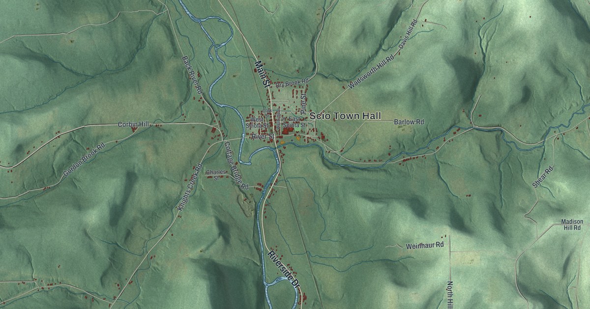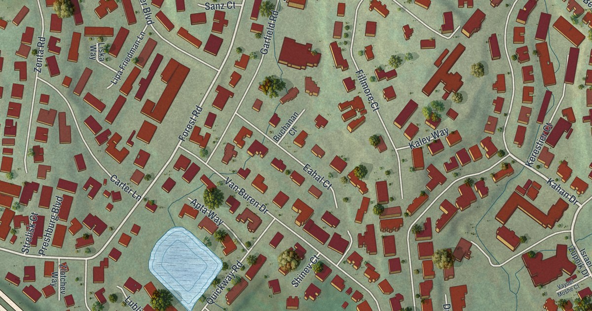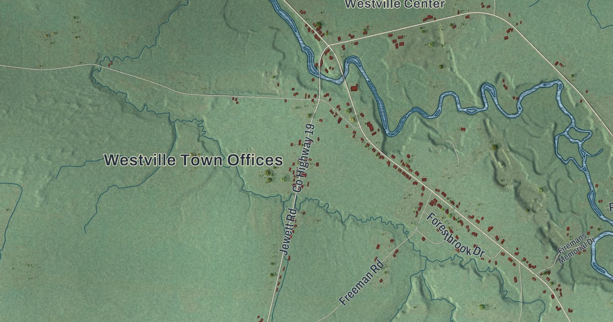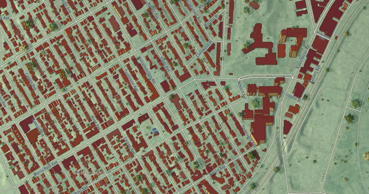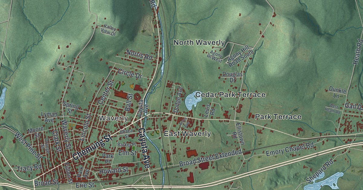
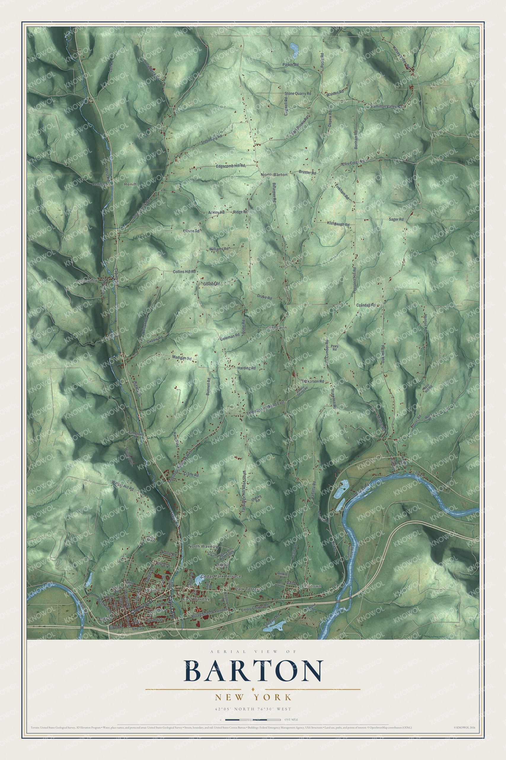
This beautifully detailed map of Barton, New York was created in 2026 using aerial imagery combined with modern topographical, census, street and landmark data. It’s a one-of-a-kind view of Barton that combines accurate data with a vintage aesthetic. The map shows every building in its true location, many of the roads carry their names, and the shaded topographic relief shows the shape of the land.
Explore an aerial view of Barton, New York
On the map you’ll find Waverly, Ellistown, East Waverly, and Glencairn, along with Chemung Street, Cayuta Avenue, Ridge Road, Talmadge Hill Road, Foster Road, Cedar Park Terrace, and more. If you look closely you can even find your house accurately drawn in its correct location. Zoom in on the preview to look for yours.
Did You Know?
In the 1940s and 1950s, Barton was home to the J. E. Rodeo Ranch. Colonel Jim Eskew ran it, and it was the only ranch of its kind east of the Mississippi. His show toured the Mid Atlantic and New England states.
Take a closer look at the Barton map
Names on this map
These names are printed on this map.
Places: Waverly, Ellistown, Cedar Park Terrace, East Waverly, Glencairn, Lockwood, North Barton, North Waverly, Park Terrace and Reniff.
Streets and roads: Chemung Street, Cayuta Avenue, Ridge Road, Talmadge Hill Road South, Talmadge Hill Road East, Foster Road, Talmadge Hill Road West, River Road, Howard Street, Hamilton Valley Road, Walker Hill Road, Cumber Road.
More street names, A to Z
Ackley Road, Acme Road, Acres Avenue, Agony Hill Road South, Agony Hl West, Ball Street, Barker Place, Besemer Road, Bonham Road, Broad Street, Broad Street Extended, Bruster Road, Bunnell Road, Camptown Road, Cannon Hole Road, Capwell Road, Cayuta Street, Center Street, Church Street, Circle Drive, Clark Street, Coleman Road, Collins Hill Road, Crandall Road, Crane Road, Dean Creek Road, Depew Road, Dickerson Road, Dodge Avenue, Douglas Drive, Drake Road, Dunkle Lane, Edgecomb Hill Road, Ellis Creek Road, Ellison Road, Ellistown Road, Elm Street, Emory Chapel Road, Erie Street, Fraley Road, Fulton Street, Gail Drive, Golden Road, Halsey Valley Road, Harding Road, Heath Road, Henton Road, Hollenbeck Road, Humane Way, Ithaca Street, Kinney Road, Kirk Drive, Kishpaugh Road, Levis Road, Lincoln Street, Lott Road, Lyman Avenue, Madigan Road, Middle Road, Miller Hollow Road, Moore Street, Nelson Road, Norris Road, Notch Hill Road, Oak Hill Road, Oak Hill Road South, Old Barton Road, Old Route 34, Orange Street, Oxbow Road, Park Avenue, Parker Road, Park Place, Perry Road, Poole Road, Prentice Road, Prospect Hill Road, Ranch Road, Reniff Road, Ross Hill Road, Sager Road, Sam Brown Road, Shepard Road, Spring Street, Steenburg Road, Stone Quarry Road, Straw Hill Road, Sulphur Springs Road, Tinkham Road, Tracy Road, Updyke Road, Valley View Drive, Vanatta Road, Walden Road, Waverly Street, Wells Road, West Heath Road, West Pine Street, West Road, Williams Road, Worden Road.
See it on a wall
The Barton map as a framed print. Swipe for more.


This beautifully detailed map of Barton makes an attractive addition to your office, library, or den, and it can even be used to teach children the geography and history of the area. It also makes a great gift for anyone who grew up in Barton or moved away. When you’re done exploring, click here to get your copy of the Barton map.