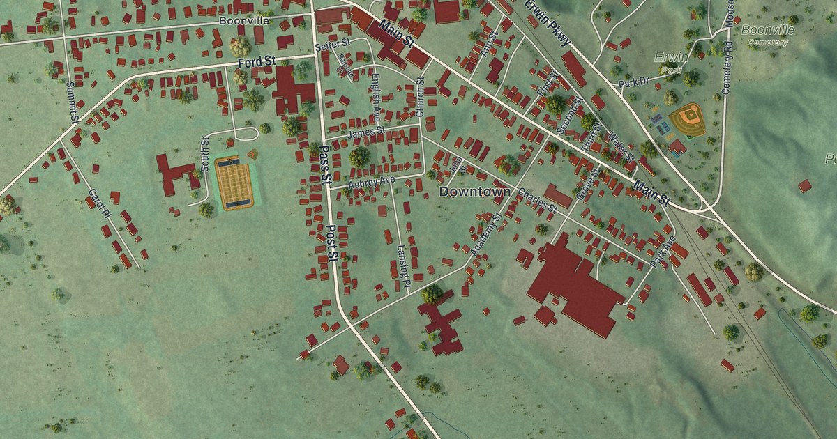
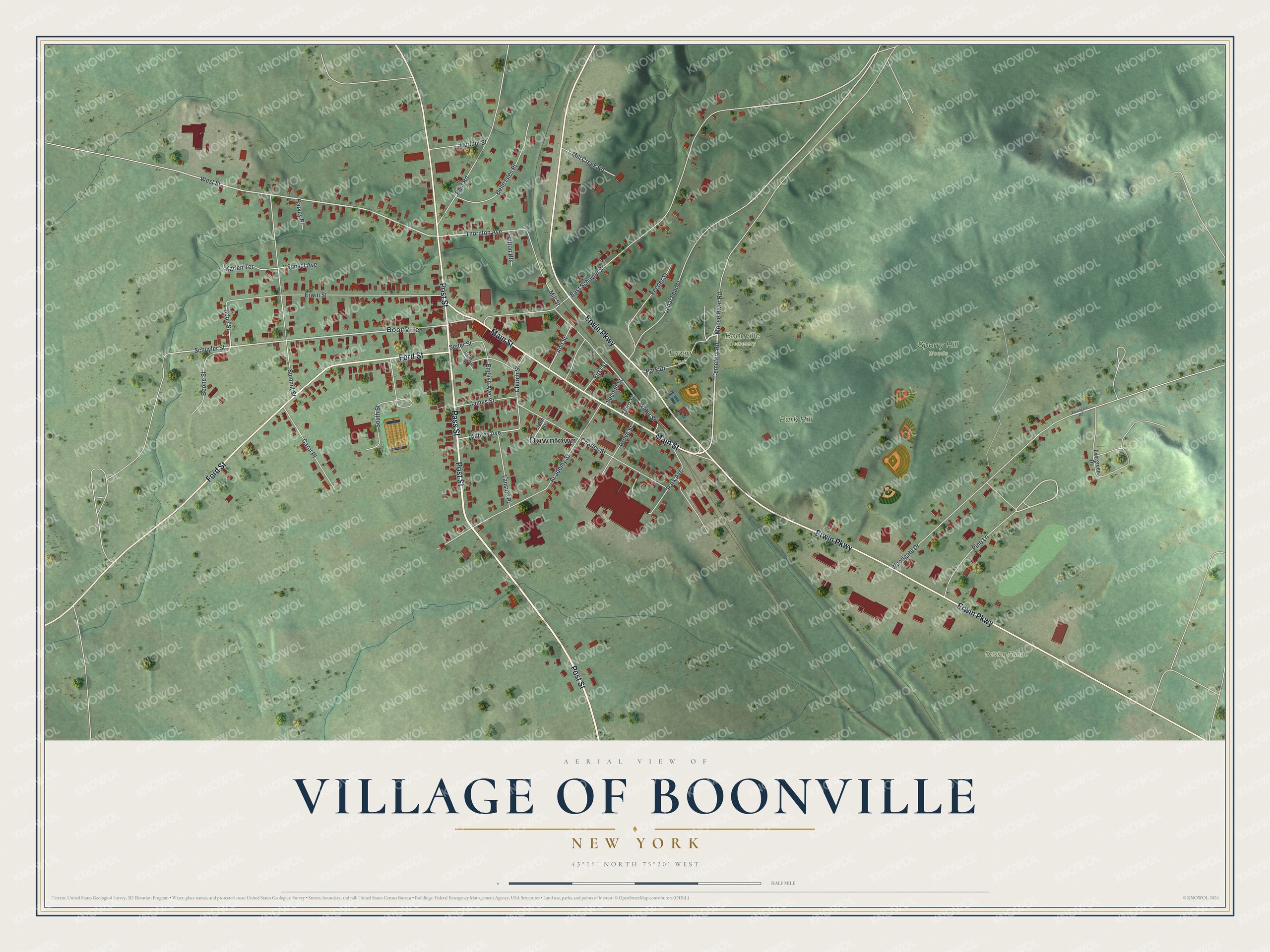
This beautifully detailed map of the Village of Boonville, New York was created in 2026 using aerial imagery combined with modern topographical, census, street and landmark data. It’s a one-of-a-kind view of the Village of Boonville that combines accurate data with a vintage aesthetic. The map shows every building in its true location, many of the roads carry their names, and the shaded topographic relief shows the shape of the land.
Explore an aerial view of the Village of Boonville, New York
On the map you’ll find Downtown, Erwin Park, and Park Hill, along with Pass Street, Erwin Parkway, Post Street, Main Street, and more. If you look closely you can even find your house accurately drawn in its correct location. Zoom in on the preview to look for yours.
Did You Know?
The village is named for Gerrit Boon of Leiden, an agent of the Holland Land Company. Boon and Andrew Edmunds began the first settlement in 1795. Their sawmill burned that year, so they wintered in Barneveld. They came back in spring, rebuilt the mills and welcomed new settlers. Boon first named the place Kortenaer, after a Dutch admiral.
Take a closer look at the Village of Boonville map
Names on this map
These names are printed on this map.
Places: Downtown, Boonville Cemetery, Erwin Park, Park Hill, Sperry Hill Woods, Driving Range and Boonville.
Streets and roads: Pass Street, Erwin Parkway, Post Street, Main Street, Ford Street, Park Drive, Cemetery Road, Thornton Avenue, West Street, Schuyler Street, Aubrey Avenue, Pine Lane.
More street names, A to Z
Academy Street, Ann Street, Belle Isles Place, Boone Street, Boon Street, Canal Feeder, Carol Place, Charles Street, Church Street, East Road, East Schuyler Street, English Avenue, Erwin Street, Evergreen Drive, Feeder Street, First Street, Grove Street, Harvey Place, Hurlbut Street, Hutton Heights, James Street, John Street, Karlen Terrace, Lansing Place, Mill Creek Road, Mill Street, Moose River Road, Park Avenue, Railroad Street, Second Street, Seiter Street, South Street, Summit Street, Sunset Avenue, Third Street, Water Street, Woodgate Drive, Woodgate Road.
See it on a wall
The Boonville map as a framed print. Swipe for more.


This beautifully detailed map of the Village of Boonville makes an attractive addition to your office, library, or den, and it can even be used to teach children the geography and history of the area. It also makes a great gift for anyone who grew up in the Village of Boonville or moved away. When you’re done exploring, click here to get your copy of the Village of Boonville map.