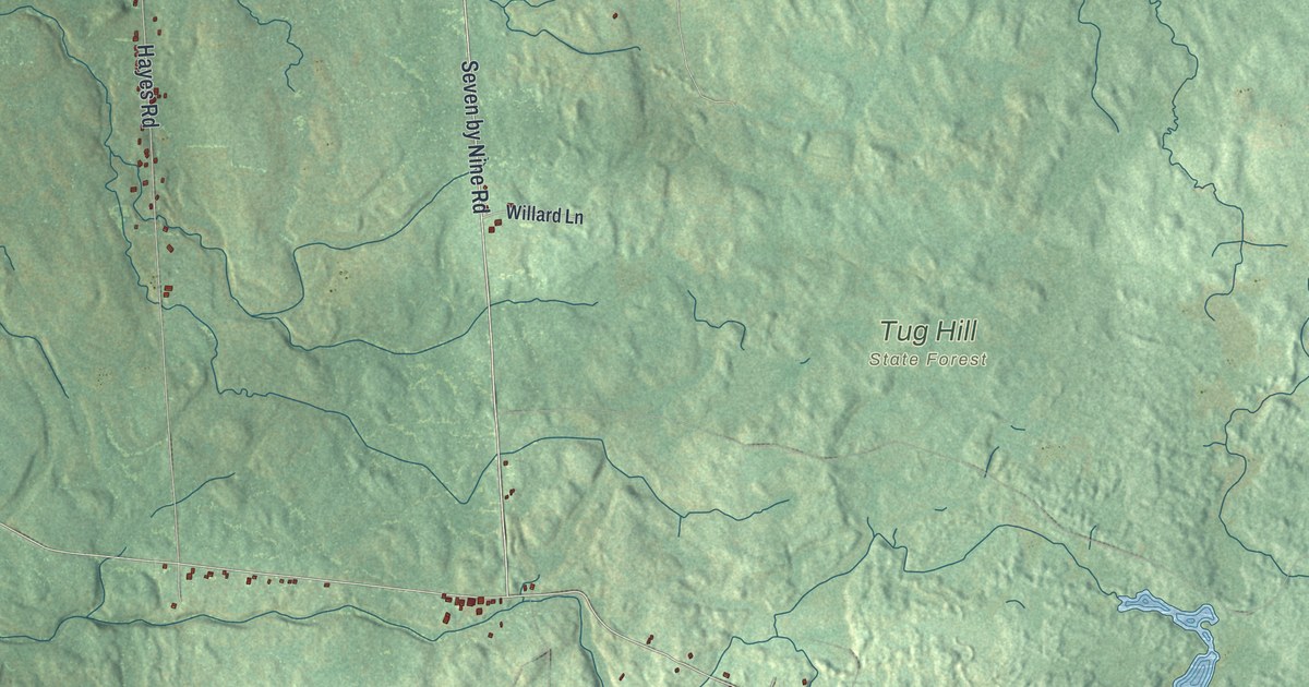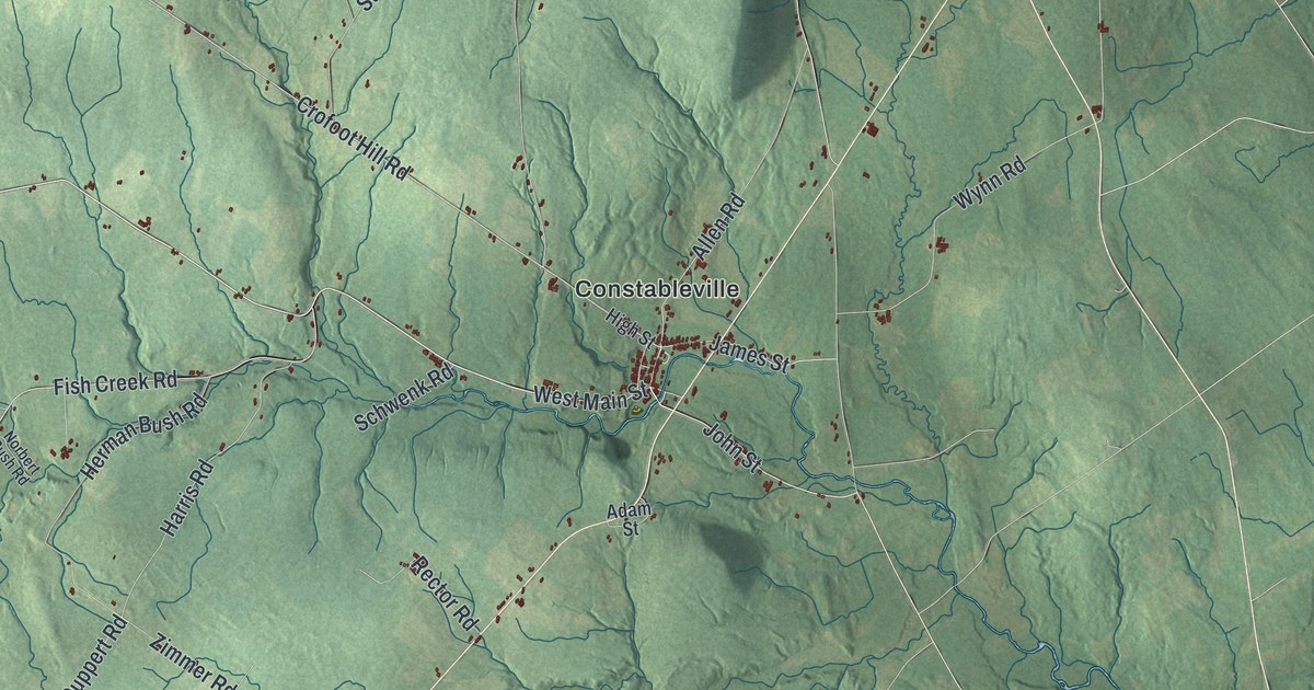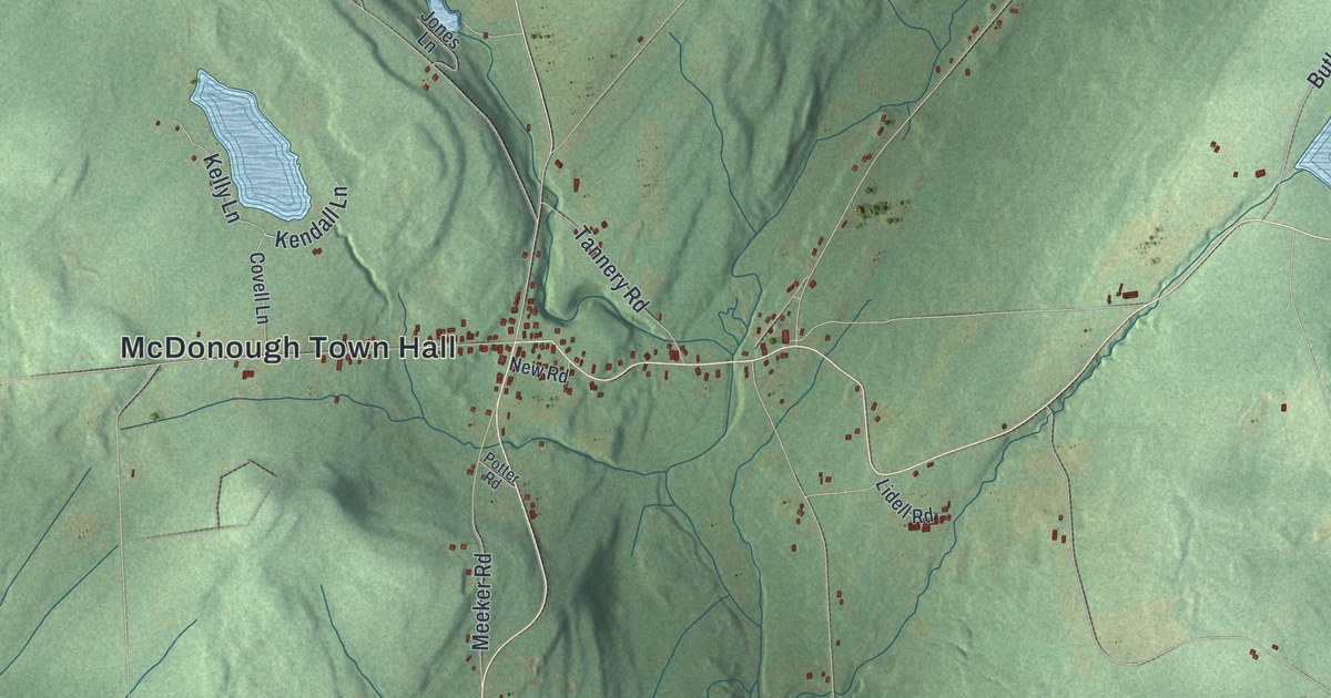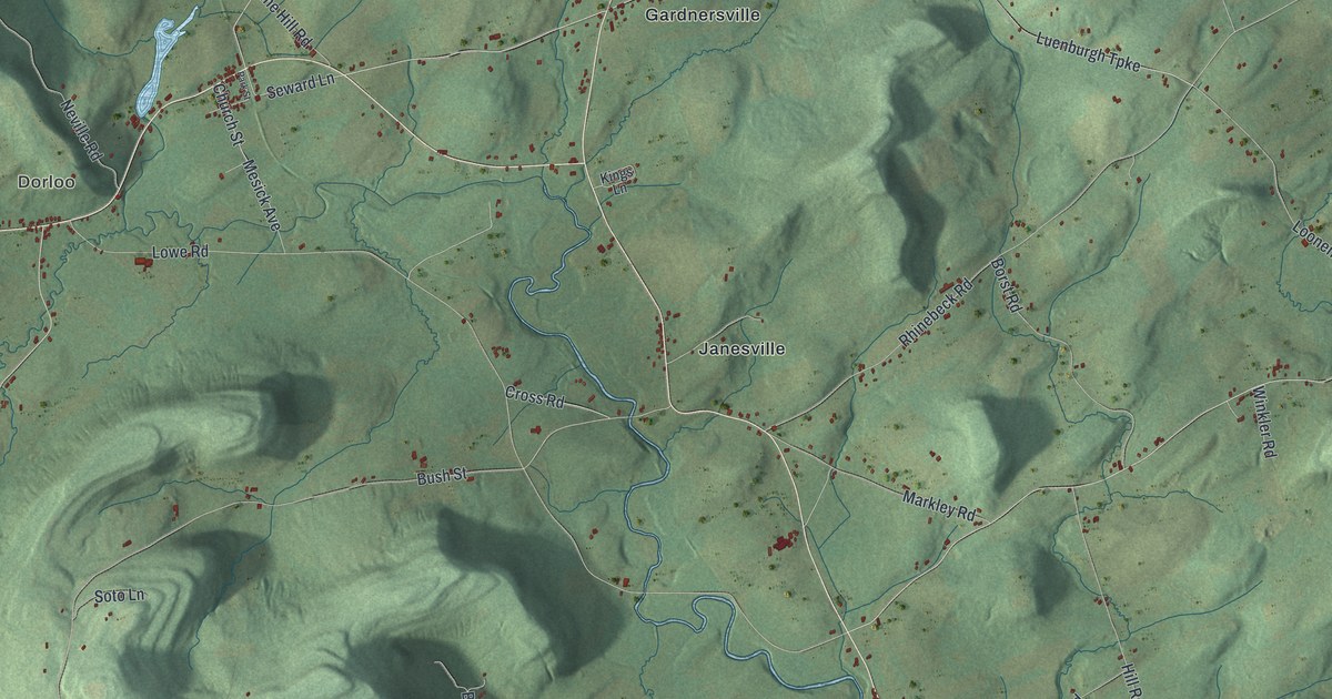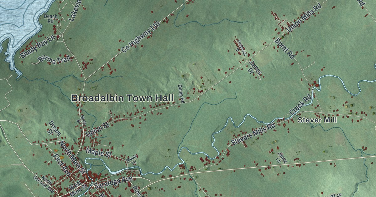
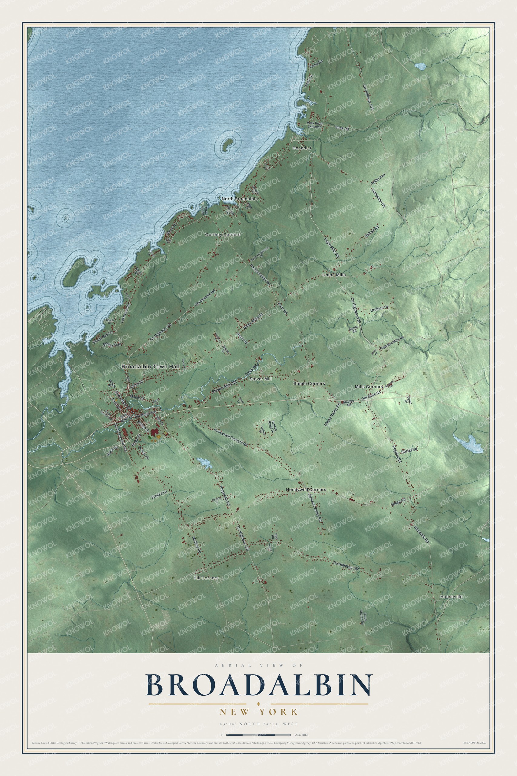
This beautifully detailed map of Broadalbin, New York was created in 2026 using aerial imagery combined with modern topographical, census, street and landmark data. It’s a one-of-a-kind view of Broadalbin that combines accurate data with a vintage aesthetic. The map shows every building in its true location, many of the roads carry their names, and the shaded topographic relief shows the shape of the land.
Explore an aerial view of Broadalbin, New York
On the map you’ll find Broadalbin Town Hall, Hoeseville, Hill Corners, Benedict, Gorthey Corners, and Honeywell Corners, along with Main Street, Saratoga Avenue, Eagle Mills Road, Bogden Road, and more. If you look closely you can even find your house accurately drawn in its correct location. Zoom in on the preview to look for yours.
Did You Know?
An early settler named Broadalbin after the Breadalbane region of Scotland. Europeans first settled here around 1770, and the town was formed in 1793. In 1930 the new Great Sacandaga Lake flooded part of the town, including a broad marsh called the Sacondaga Vlaie.
Take a closer look at the Broadalbin map
Names on this map
These names are printed on this map.
Places: Broadalbin Town Hall, Hoeseville, Hill Corners, Benedict, Gorthey Corners, Honeywell Corners, Mills Corners, North Broadalbin, Steele Corners, Stever Mill and Union Mills.
Streets and roads: North Main Street, Saratoga Avenue, Eagle Mills Road, Bogden Road, Hoesville Road, County Highway 107, County Highway 138, Hagaman Road, Ridge Road, Lakeview Road, South Second Avenue, Shore Drive.
More street names, A to Z
Abrams Lane, Archer Road, Beach Road, Bellen Road, Betor Road, Boat Lanch, Bornt Road, Borski Road, Bridge Street, Broad Street, Burma Road, Burma Trail, Chase Valley Road, County Highway 109, County Highway 110, County Highway 126, Creek Road, Dream Street, Dump Road, Dutch Church Road, Dylan Drive, Eidsvoll Drive, Ernie's Lane, First Avenue, Frederich Street, Goodemote Road, Hagadorn Mills Road, Harris-Fitzgibbons Road, Hart Road, Hatzenbuhler Road, Hawk Lane, Honeywell Corners Road, Jackson Valley Road, James Drive, Jamie Lane, Kasson Lane, Kunz Road, Lampman Road, Maple Lane, Maple Street, Midline Road, Mueller Road, North Second Avenue, North Street, Old State Road, Orchard Drive, Pelcher Road, Phillips Lane, Pike Street, Pine Street, Pioneer Drive, Rebisz Road, Sanford Drive, Seneca Ridge Drive, Shady Bay Lane, Squire Road, Stevers Mills Road, Teal Avenue, Teina Road, Teller Avenue, Union Mills Road, Union Street, Vunk Road, Vunk Road Extended, Wendell Avenue, West Main Street, Woodside Avenue.
See it on a wall
The Broadalbin map as a framed print. Swipe for more.


This beautifully detailed map of Broadalbin makes an attractive addition to your office, library, or den, and it can even be used to teach children the geography and history of the area. It also makes a great gift for someone who left Broadalbin and still calls it home. When you’re done exploring, click here to get your copy of the Broadalbin map.