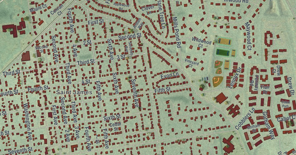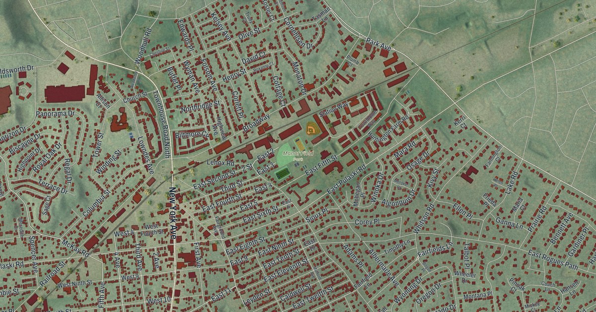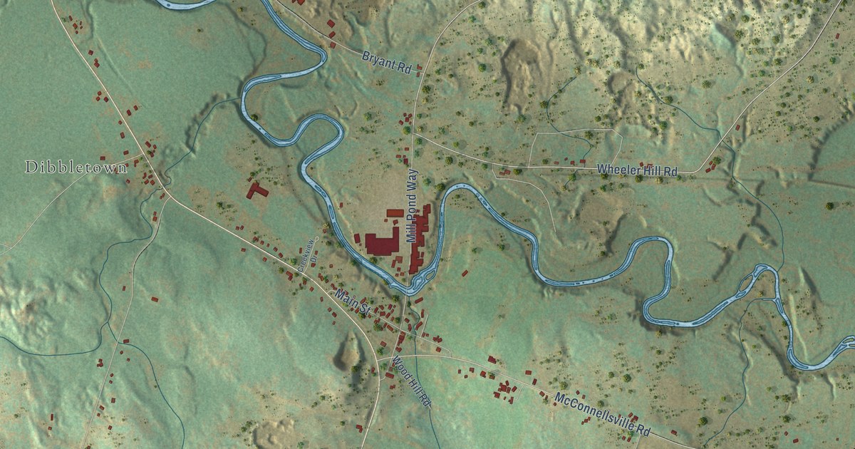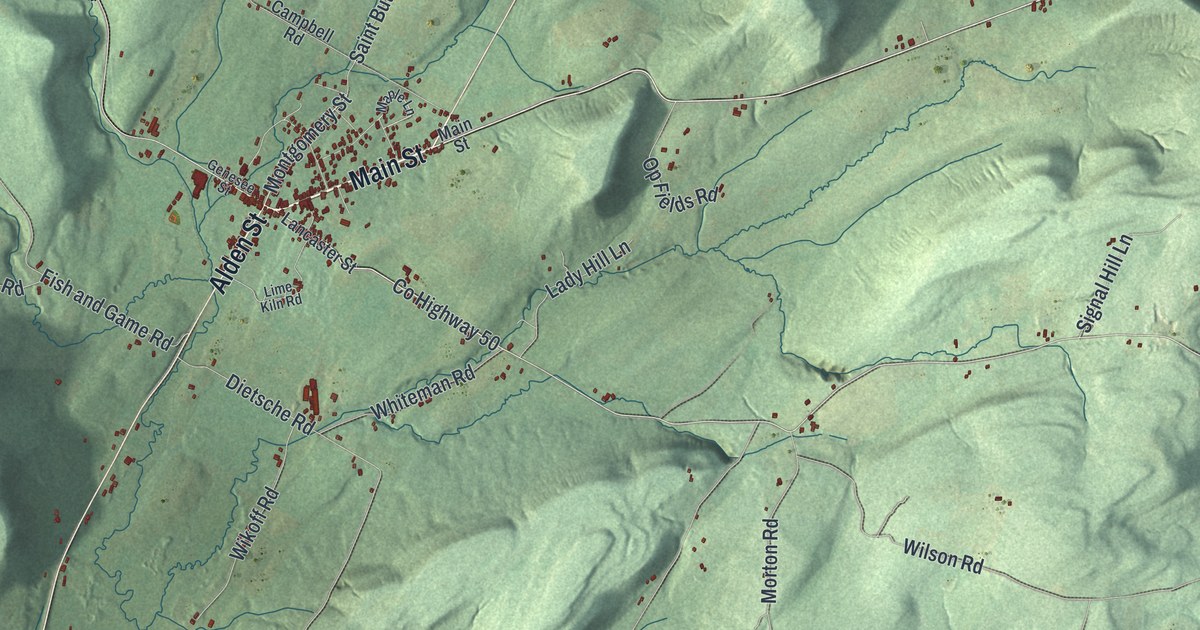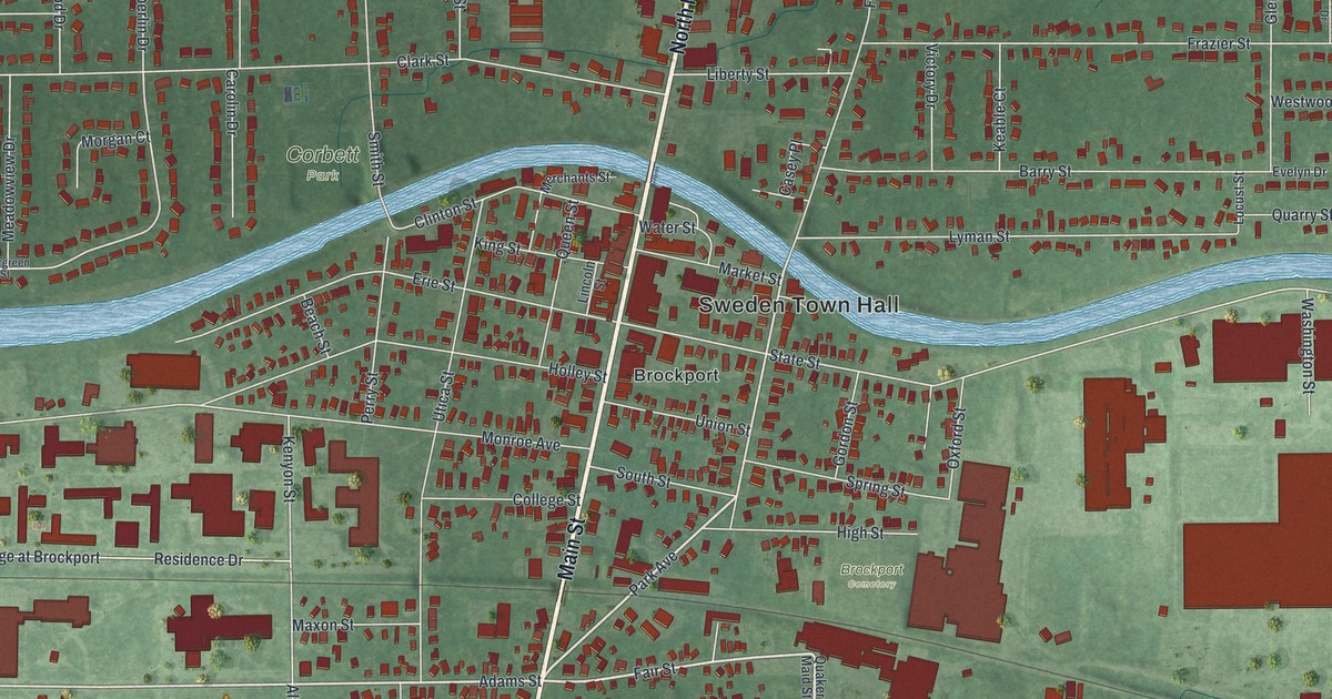
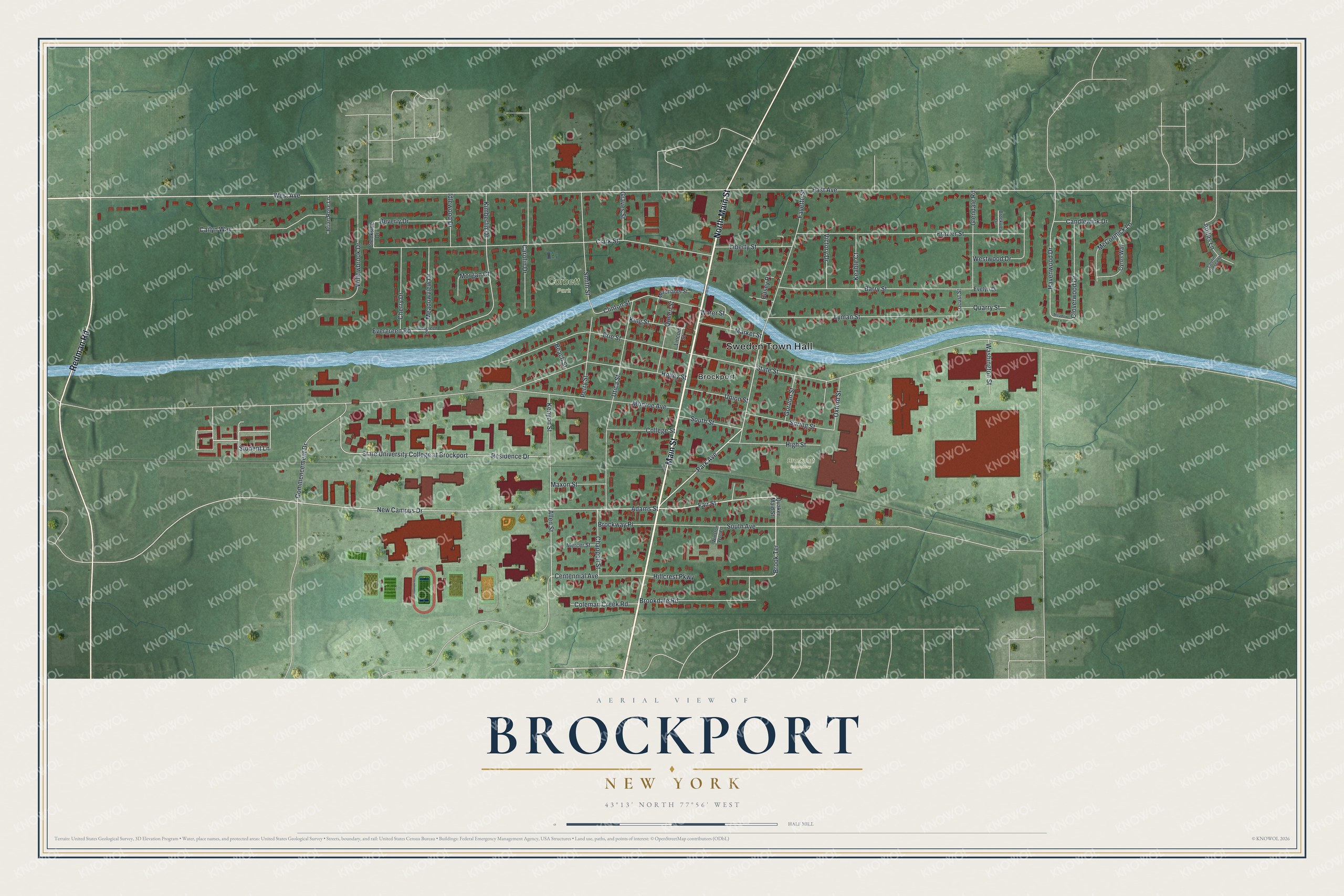
This beautifully detailed map of Brockport, New York was created in 2026 using aerial imagery combined with modern topographical, census, street and landmark data. It’s a one-of-a-kind view of Brockport that combines accurate data with a vintage aesthetic. The map shows every building in its true location, many of the roads carry their names, and the shaded topographic relief shows the shape of the land.
Explore an aerial view of Brockport, New York
On the map you’ll find Sweden Town Hall and Corbett Park, along with Main Street, Redman Road, Park Avenue, Fair Street, and more. If you look closely you can even find your house accurately drawn in its correct location. Zoom in on the preview to look for yours.
Did You Know?
Brockport takes its name from early settler Hiel Brockway, who founded the community in 1822. It incorporated in 1829 and grew as a port on the Erie Canal. For a short time it was the western end of the canal, until the waterway was extended to Buffalo.
Take a closer look at the Brockport map
Names on this map
These names are printed on this map.
Places: Sweden Town Hall, Corbett Park, Brockport Cemetery and Brockport.
Streets and roads: Main Street, North Main Street, Redman Road, Park Avenue, Fair Street, West Avenue, Brook Terrace, Adams Street, Student Lane, New Campus Drive, Centennial Avenue, Havenwood Drive.
More street names, A to Z
Allen Street, Anitas Lane, Barry Street, Beach Street, Beverly Drive, Brian Rose Lane, Brockview Drive, Brockway Place, Brookdale Road, Cailyn Way, Candlewick Drive, Carolin Drive, Casey Place, Chappell Street, Cherry Drive, Clark Street, Clinton Street, Cloverwood Drive, Coleman Creek Road, College Street, Commencement Drive, Creekside Drive, Cyrus Way, East Avenue, Erie Street, Evelyn Drive, Evergreen Road, Evergreen Street, Fayette Street, Frazier Street, Glendale Road, Gordon Street, Graves Street, High Street, Hillcrest Parkway, Holley Street, Idlewood Drive, Keable Court, Kenyon Street, Kimberlin Drive, King Street, Laurie Crescent, Liberty Street, Lincoln Street, Locust Street, Lyman Street, Market Street, Maxon Street, McCormick Lane, Meadow Lane, Meadowview Drive, Mercer Street, Merchants Street, Monroe Avenue, Morgan Court, Oxford Street, Perry Street, Quaker Maid Street, Quarry Street, Queen Street, Residence Drive, Smith Street, South Avenue, South Street, Spring Street, State Street, State University College at Brockport, Union Street, Utica Street, Victory Drive, Washington Street, Water Street, Westwood Drive, Willowbrook Drive, Winston Woods.
See it on a wall
The Brockport map as a framed print. Swipe for more.


This beautifully detailed map of Brockport makes an attractive addition to your office, library, or den, and it can even be used to teach children the geography and history of the area. It also makes a great gift for anyone who grew up in Brockport or moved away. When you’re done exploring, click here to get your copy of the Brockport map.