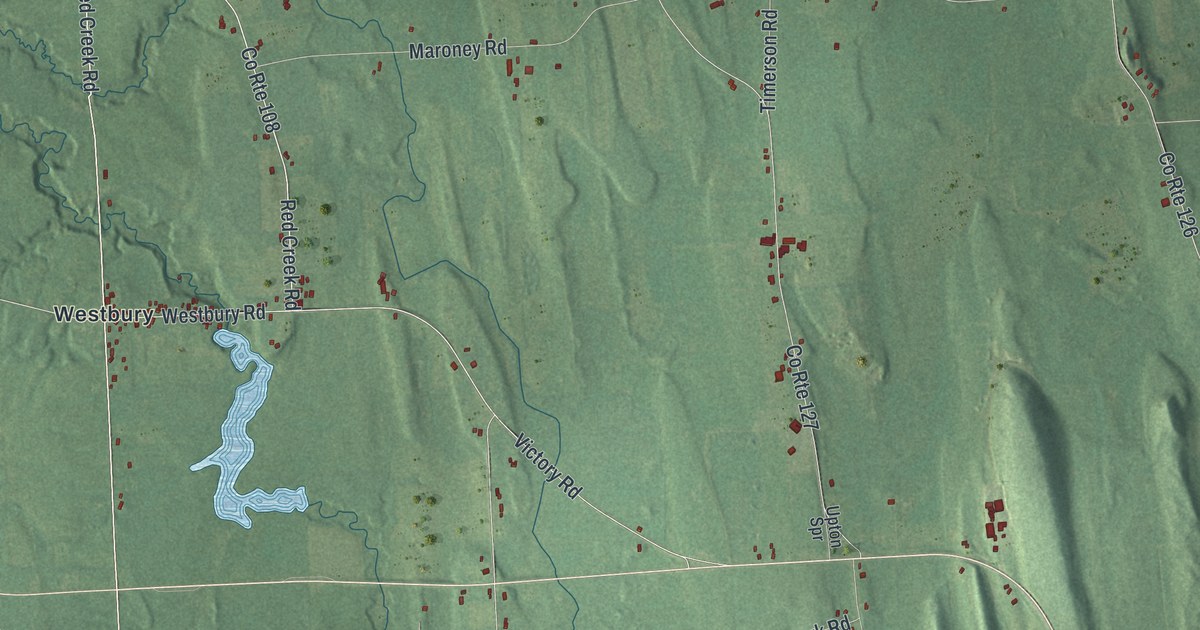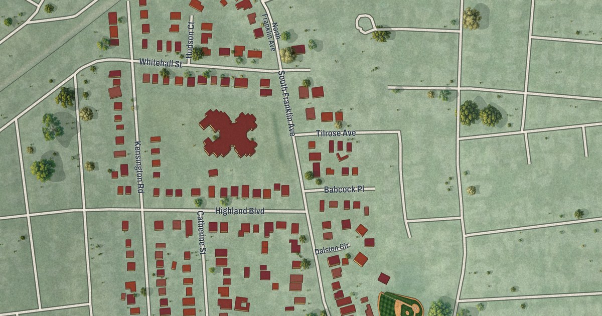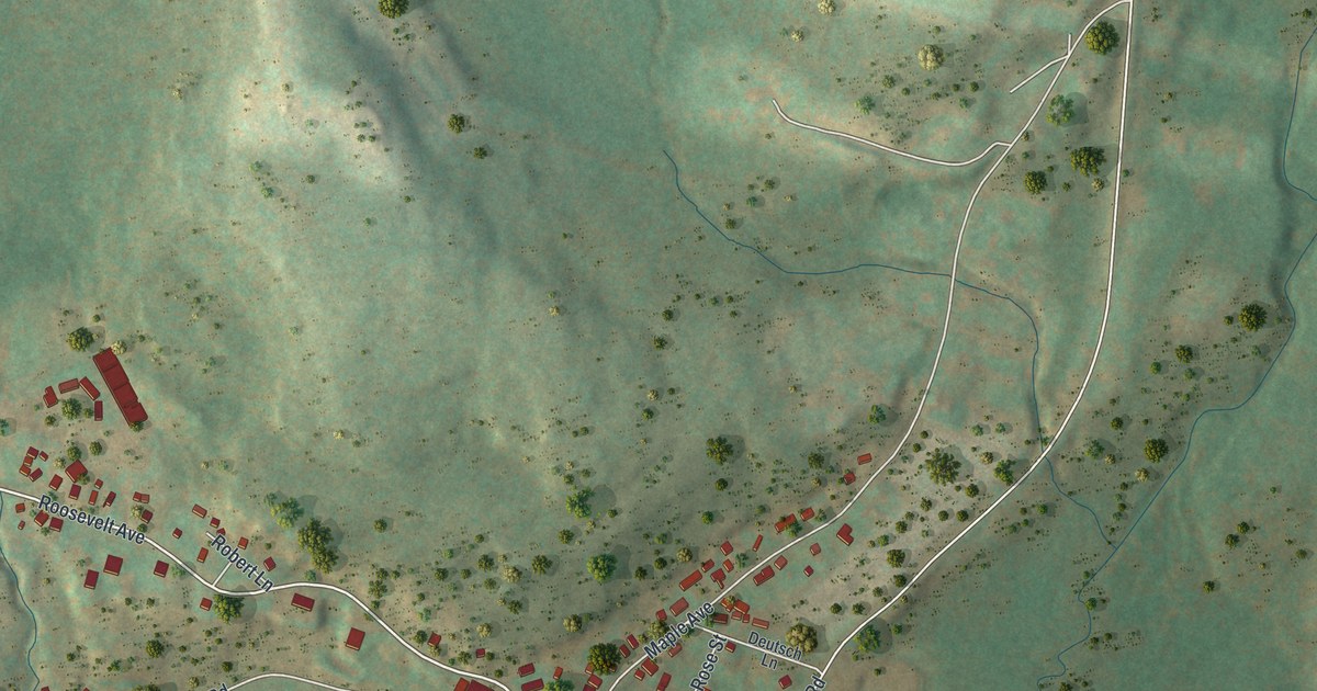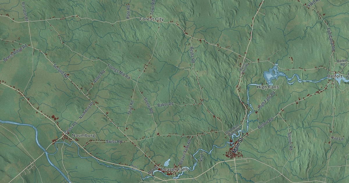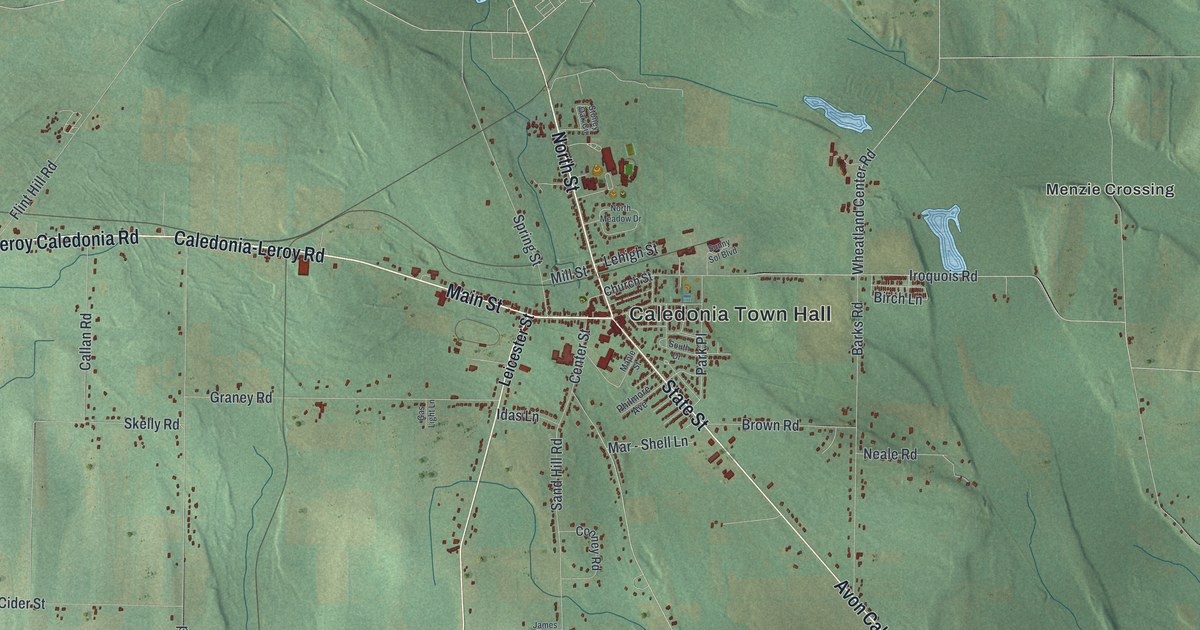
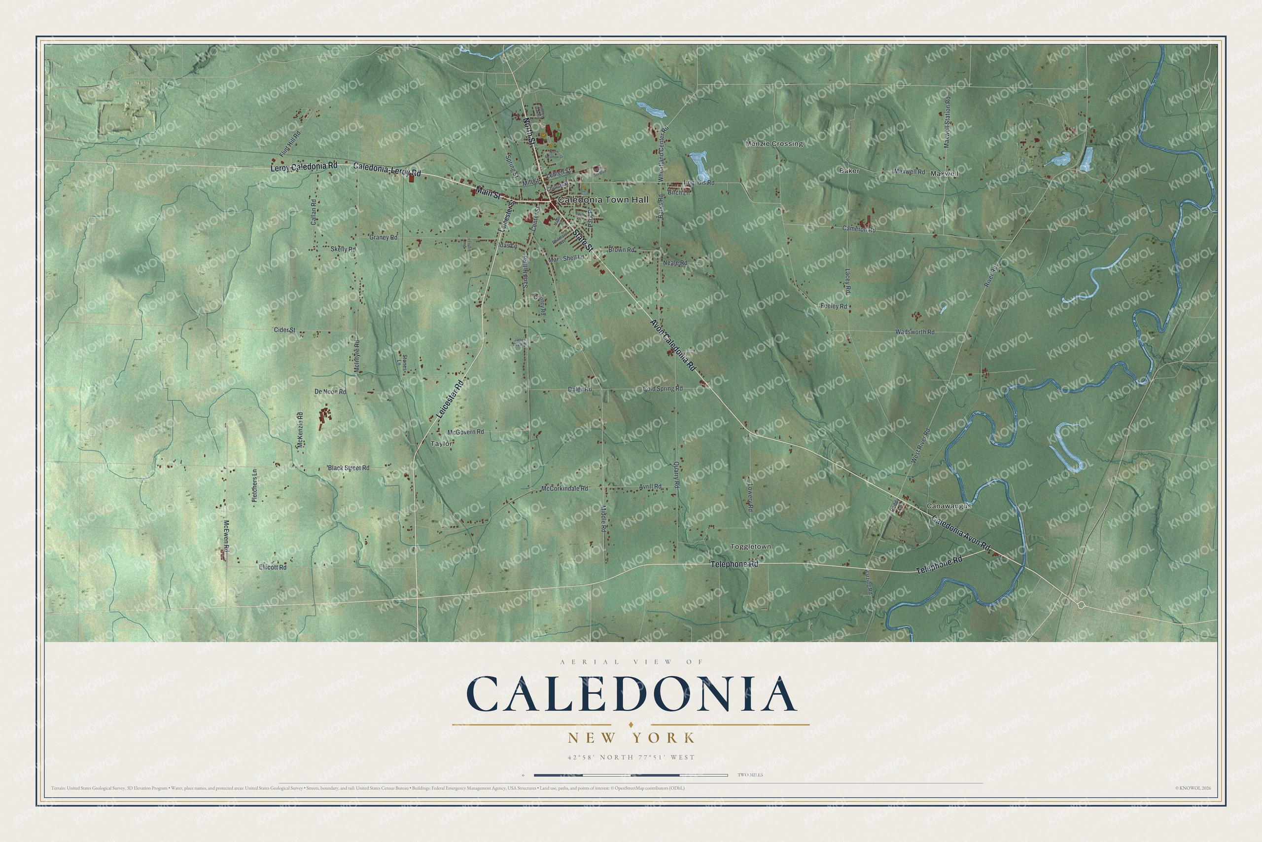
This beautifully detailed map of Caledonia, New York was created in 2026 using aerial imagery combined with modern topographical, census, street and landmark data. It’s a one-of-a-kind view of Caledonia that combines accurate data with a vintage aesthetic. The map shows every building in its true location, many of the roads carry their names, and the shaded topographic relief shows the shape of the land.
Explore an aerial view of Caledonia, New York
On the map you’ll find Caledonia Town Hall, Baker, Canawaugus, Maxwell, Menzie Crossing, and Taylor, along with North Street, Caledonia-Leroy Road, Leroy Caledonia Road, Main Street, and more. If you look closely you can even find your house accurately drawn in its correct location. Zoom in on the preview to look for yours.
Did You Know?
Seth Green started a private fish hatchery at Caledonia in 1864. New York State bought it in 1875. There the state ran its first experiments in raising fish artificially for conservation. That’s from the 1940 WPA guide to New York.
Take a closer look at the Caledonia map
Names on this map
These names are printed on this map.
Places: Caledonia Town Hall, Baker, Canawaugus, Maxwell, Menzie Crossing, Taylor and Toggletown.
Streets and roads: North Street, Caledonia-Leroy Road, Leroy Caledonia Road, Main Street, State Street, Avon Caledonia Road, Caledonia Avon Road, Telephone Road, Leicester Road, Ellicott Road, McEwen Road, Middle Road.
More street names, A to Z
Avrill Road, Barks Road, Batzing Road, Birch Lane, Black Street Road, Brown Road, Callan Road, Cameron Road, Center Street, Church Street, Cider Street, Cold Spring Road, Cooney Road, Daley Road, De Noon Road, Feeley Road, Fletchers Lane, Flint Hill Road, Gas Light Lane, Graney Road, Idas Lane, Iroquois Road, James Doyle Drive, Lacey Road, Lehigh Street, Leicester Street, Lowery Road, Maple Street, Mar - Shell Lane, Maxwell Road, Maxwell Station Road, McCorkindale Road, McGovern Road, McIntyre Road, McKenzie Road, Mill Street, Neale Road, North Meadow Drive, Paddy Lane, Park Place, Philmore Avenue, Quarry Road, River Road, Sand Hill Road, Skelly Road, South Drive, Spring Street, Stones Lane, Stoney Oak Circle, Sunny Sol Boulevard, Wadsworth Road, West River Road, Wheatland Center Road.
See it on a wall
The Caledonia map as a framed print. Swipe for more.


This beautifully detailed map of Caledonia makes an attractive addition to your office, library, or den, and it can even be used to teach children the geography and history of the area. It also makes a great gift for anyone with Caledonia roots. When you’re done exploring, click here to get your copy of the Caledonia map.