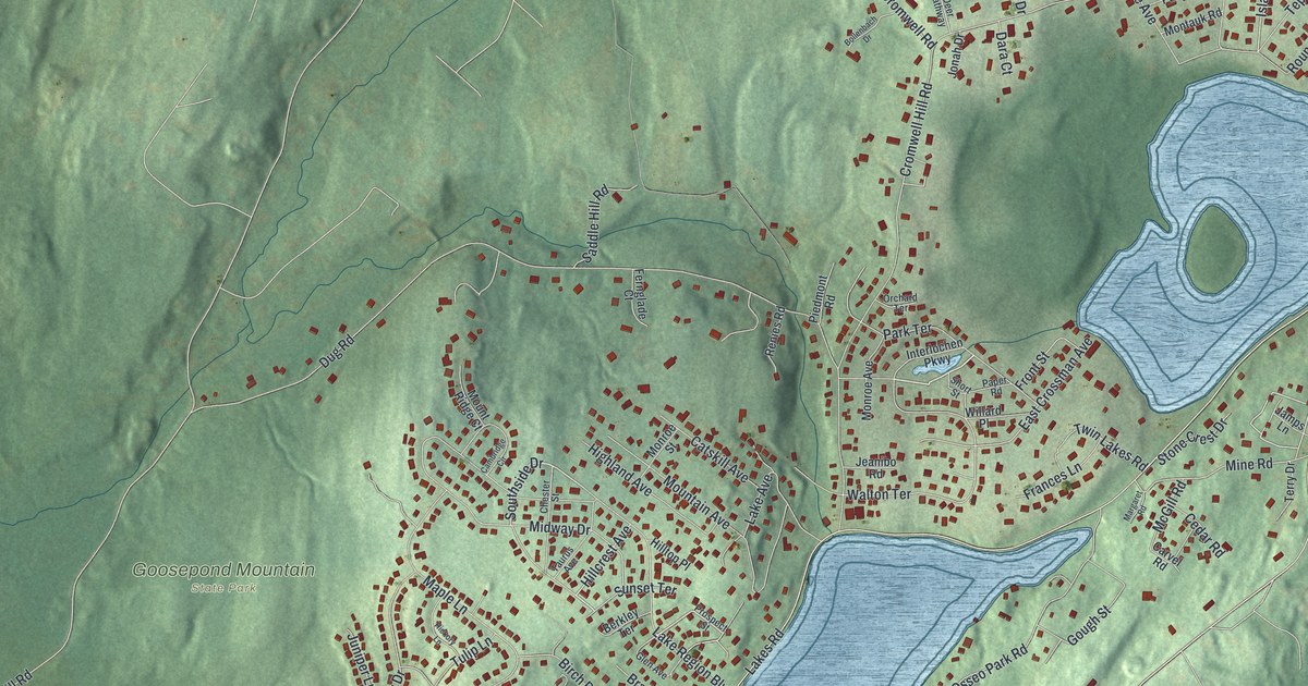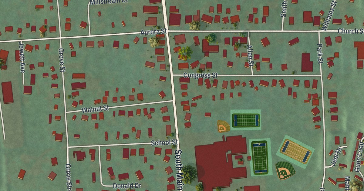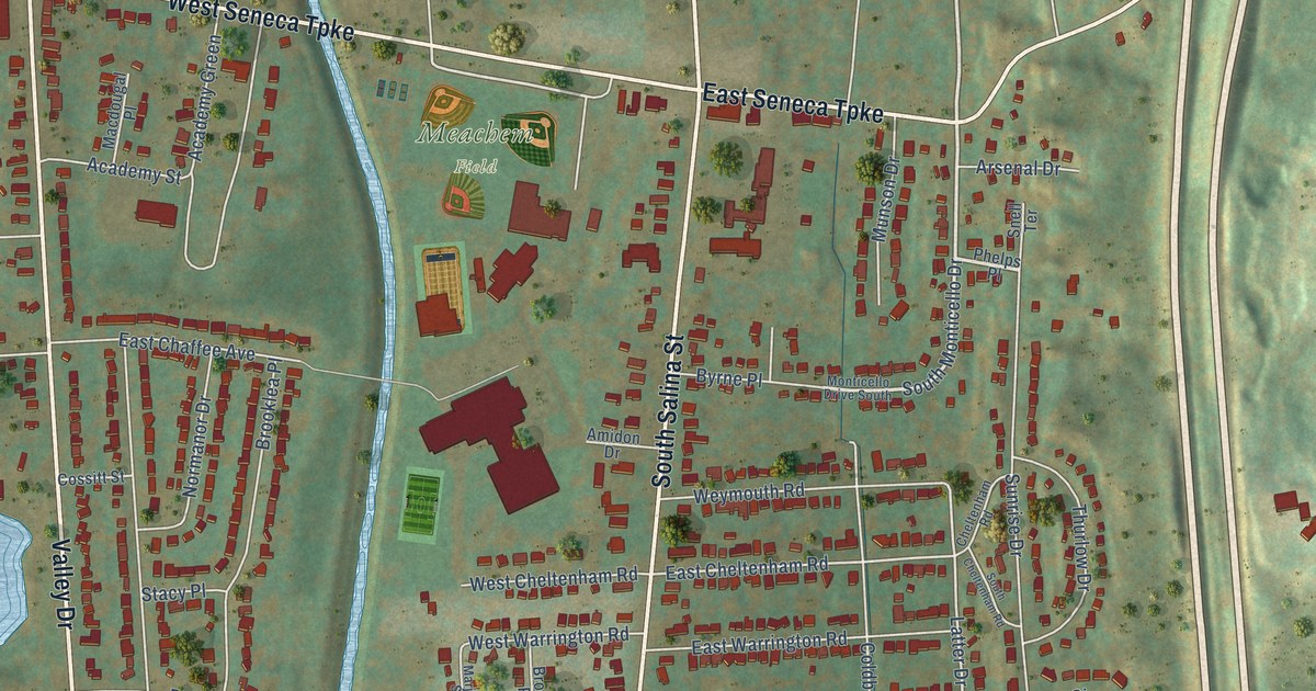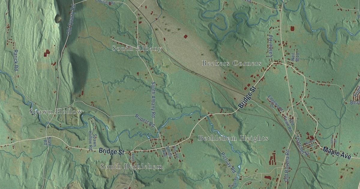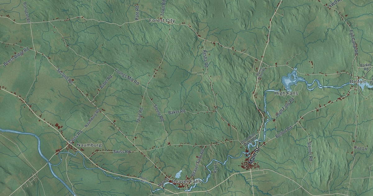
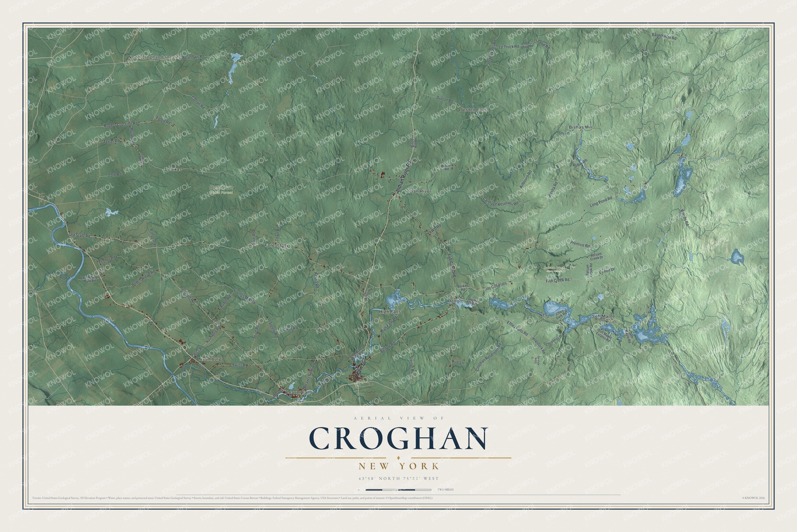
This beautifully detailed map of Croghan, New York was created in 2026 using aerial imagery combined with modern topographical, census, street and landmark data. It’s a one-of-a-kind view of Croghan that combines accurate data with a vintage aesthetic. The map shows every building in its true location, many of the roads carry their names, and the shaded topographic relief shows the shape of the land.
Explore an aerial view of Croghan, New York
On the map you’ll find Jay Cox Flats, North Croghan Crossing, Beaver Falls, Belfort, Bishas Mill, Forest City, Balsam Creek State Forest, and Beartown State Forest, along with Indian River Road, Main Street, Old State Road, Fish Creek Road, and more. If you look closely you can even find your house accurately drawn in its correct location. Zoom in on the preview to look for yours.
Did You Know?
Theodore B. Basselin settled in Croghan and became the town’s first millionaire through his logging business. He was one of the biggest employers of his day. His mansion still stands downtown. His old opera house now serves as the town library, with the Basselin Cemetery beside it.
Take a closer look at the Croghan map
Names on this map
These names are printed on this map.
Places: North Croghan Crossing, Balsam Creek State Forest, Beartown State Forest, Beaver Falls, Belfort, Bishas Mill, Forest City, High Falls, Indian River, Jerden Falls, Naumburg, Soft Maple and Texas.
Streets and roads: Indian River Road, Main Street, Old State Road, Fish Creek Road, Jay Cox Flats, Woods Road, Belfort Road, Loop Road, Kilbourn Road, Cotton Road, Rogers Crossing Road, Long Pond Road.
More street names, A to Z
Aubel Road, Baker Road, Bald Mount Road, Balsam Creek Road, Barker Road, Beartown Road, Beaver Falls Road, Beech Ridge Road, Benoit Drive, Besha Road, Bince Hill Road, Boliver Road, Branagan Road, Bslsam Creek Drive, Carthage Reservoir Road, Christmas Drive, Cold Springs Park Road, Croghan Reservoir Road, Cross Road, Double Eddy Road, Dutton Road, Effley Dam Road, Effley Falls Road, Erie Canal Road, Fire Lane, Flood Road, Frank Kirch Road, High Falls Road, Hogsback Road, Jackson Lane, Jerden Falls Road, Kay Lane, Lp Truck Road, Lumbley Road, Martin Road, Monnat School Road, Mylady Road, Naumburg Road, Old Indian River Road, Old Loop Road, Pate Road, Prentice Road, Resha Road, Rubar Road, Second Road, Soft Maple Estates Road, Soft Maple Road, Steele Road, Steiner Road, Swiss Road, Texas Road, Third Road, Toth Road, Town Road, Youngs Mill Road, Zecher Road.
See it on a wall
The Croghan map as a framed print. Swipe for more.


This beautifully detailed map of Croghan makes an attractive addition to your office, library, or den, and it can even be used to teach children the geography and history of the area. It also makes a great gift for anyone with Croghan roots. When you’re done exploring, click here to get your copy of the Croghan map.