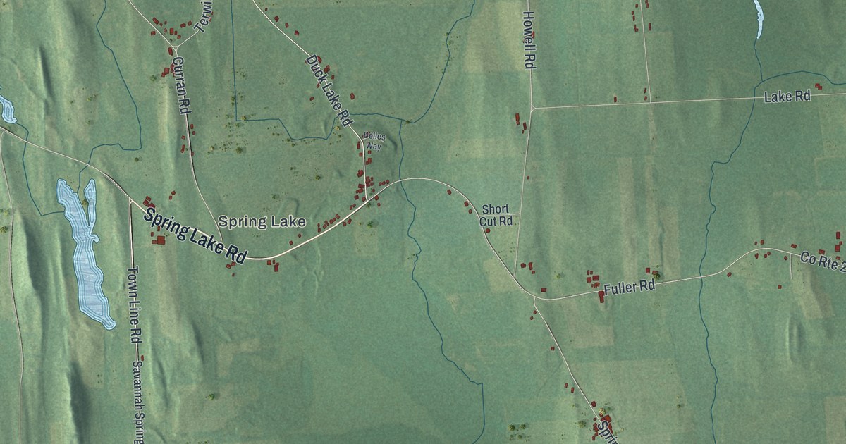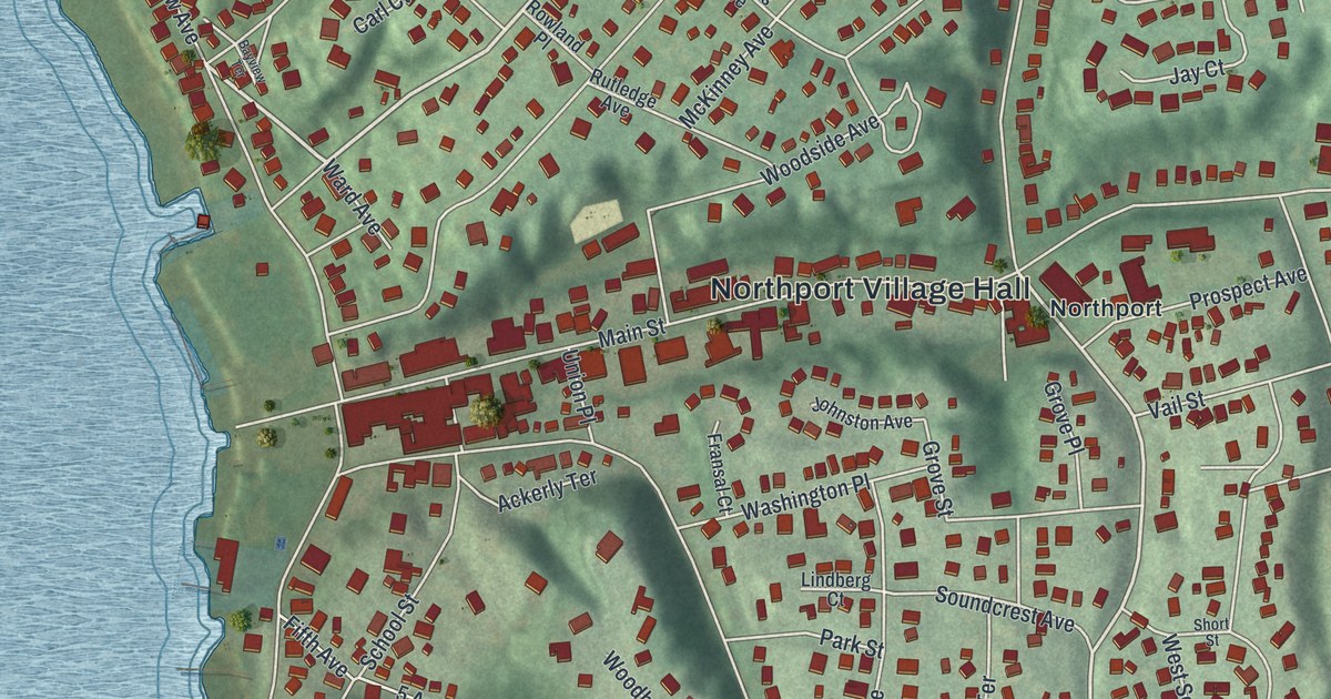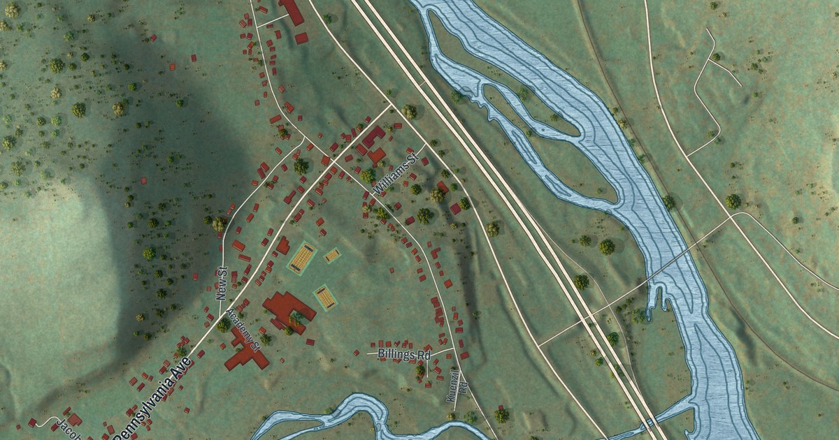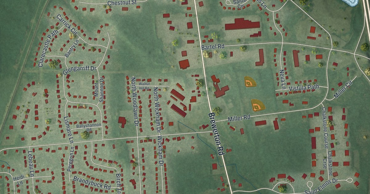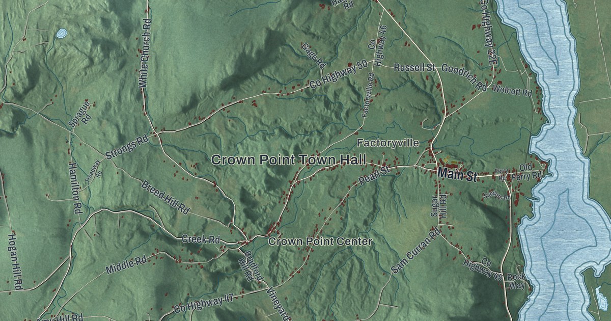
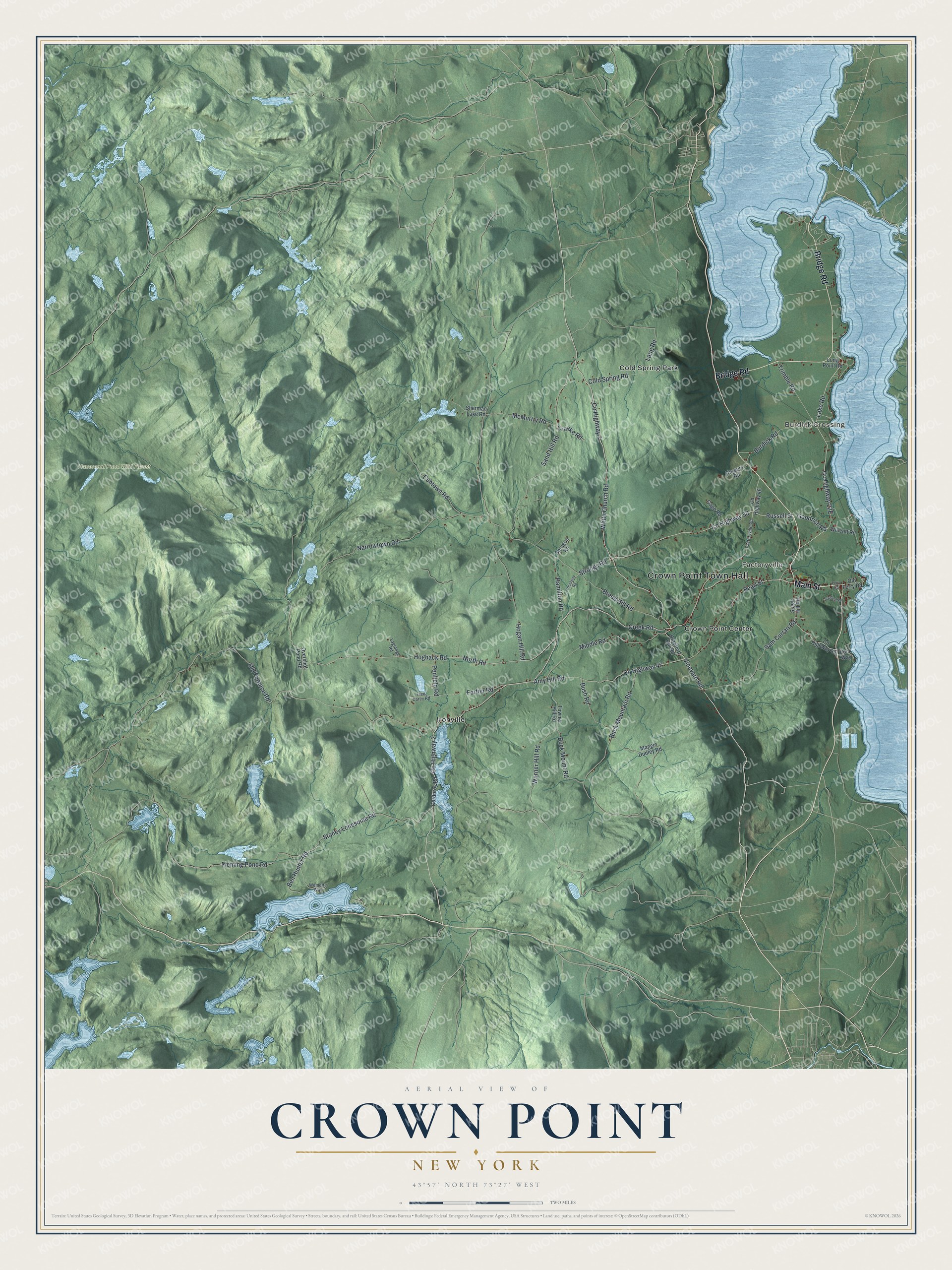
This beautifully detailed map of Crown Point, New York was created in 2026 using aerial imagery combined with modern topographical, census, street and landmark data. It’s a one-of-a-kind view of Crown Point that combines accurate data with a vintage aesthetic. The map shows every building in its true location, many of the roads carry their names, and the shaded topographic relief shows the shape of the land.
Explore an aerial view of Crown Point, New York
On the map you’ll find Crown Point Town Hall, Burdick Crossing, Factoryville, Cold Spring Park, Crown Point Center, Ironville, and Hammond Pond Wild Forest, along with Bridge Road, Main Street, Creek Road, White Church Road, and more. If you look closely you can even find your house accurately drawn in its correct location. Zoom in on the preview to look for yours.
Did You Know?
The French built Fort Saint-Frederic at the Lake Champlain narrows in 1734. During the French and Indian War, they destroyed it and retreated rather than let the British take it. The British then built Fort Crown Point in 1759, the largest earthen fort in their colonies.
Take a closer look at the Crown Point map
Names on this map
These names are printed on this map.
Places: Crown Point Town Hall, Burdick Crossing, Factoryville, Hammond Pond Wild Forest, Cold Spring Park, Crown Point Center and Ironville.
Streets and roads: Bridge Road, Main Street, County Highway 2, County Highway 7, Creek Road, White Church Road, Vineyard Road, Lake Road, Hogback Road, North Road, Sand Hill Road, Strongs Road.
More street names, A to Z
Amy Hill Road, Ben Hunter Road, Bradford Hill Road, Breed Hill Road, Buck Mountain Road, Buck Mount Road, Burdick Road, Bush Road, Cold Spring Road, Corduroy Road, County Highway 45, County Highway 46, County Highway 47, County Highway 50, Croake Road, Cubtown Road, Factoryville Road, Ferry Road, Fleming Pond Road, Fortier Road, Fred Carey Road, Gage Road, Goodrich Road, Hamilton Road, Harpers Road, Hogan Hill Road, Lagrange Road, Lang Road, Long Point Road, Maggie Dudley Road, McMurtry Road, Middle Road, Narrowtown Road, Old Ferry Road, Old Furnace Road, Overshot Pond Road, Pearl Street, Penfield Road, Rock Way, Russell Street, Sam Curran Road, Sanders Road, Sherman Lake Road, Sprague Road, Stoney Lonesome Road, Sugar Hill Road, Towner Hill Road, Treadway Road, Trimble Road, Warner Hill Road, Wemette Way, Wolcott Road.
See it on a wall
The Crown Point map as a framed print. Swipe for more.


This beautifully detailed map of Crown Point makes an attractive addition to your office, library, or den, and it can even be used to teach children the geography and history of the area. It also makes a great gift for someone who left Crown Point and still calls it home. When you’re done exploring, click here to get your copy of the Crown Point map.