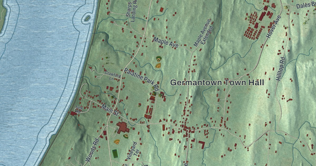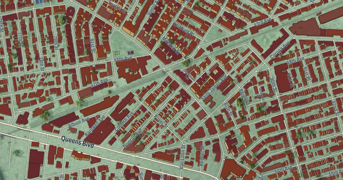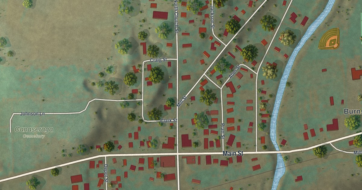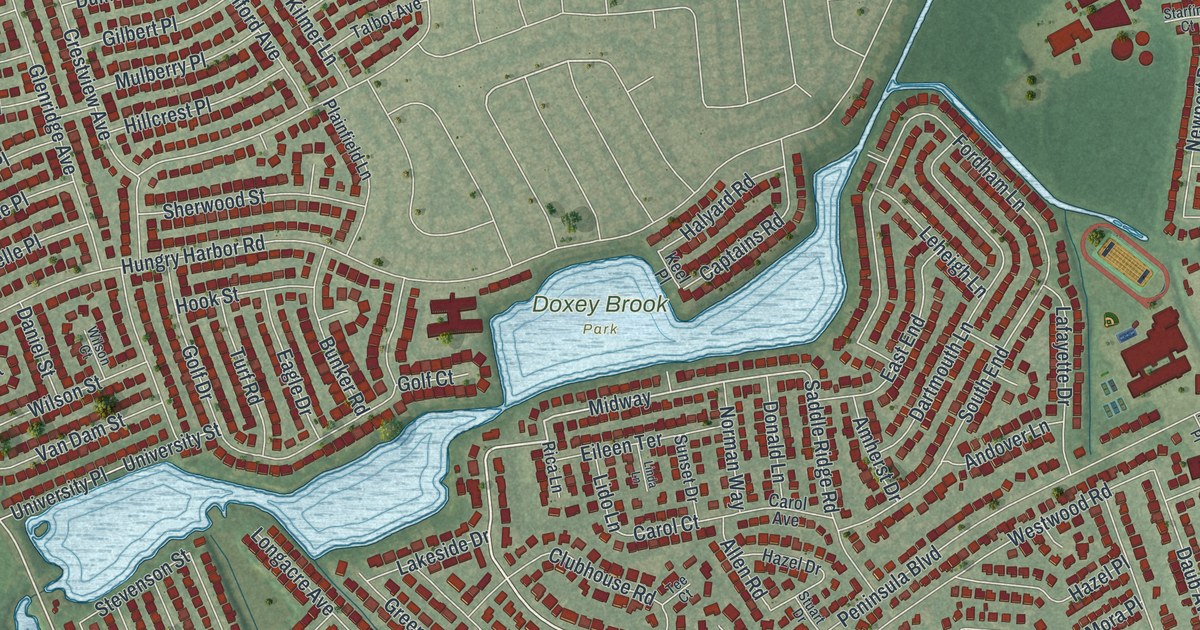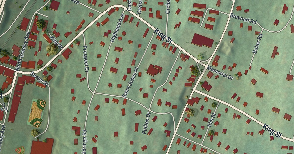
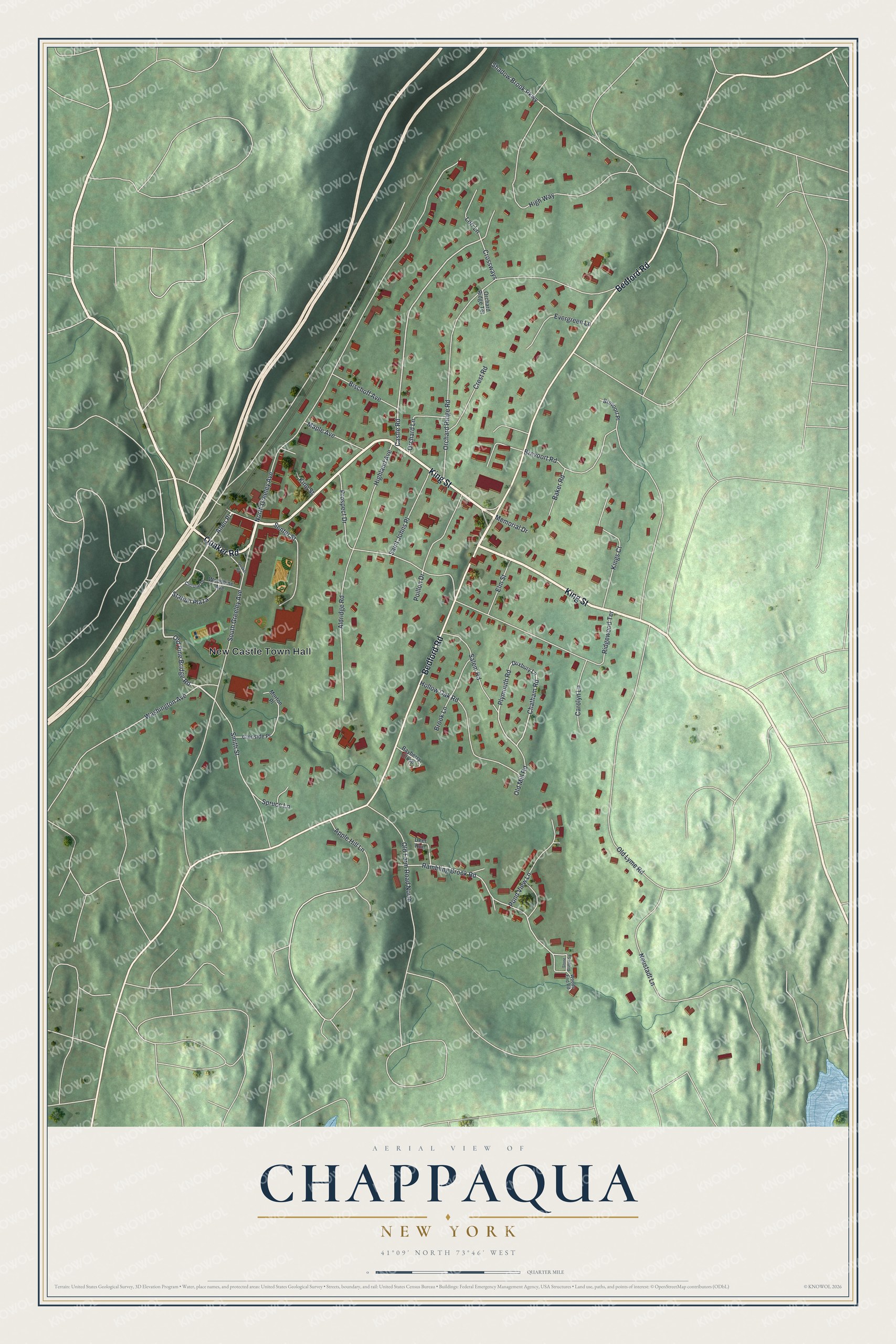
This beautifully detailed map of Chappaqua, New York was created in 2026 using aerial imagery combined with modern topographical, census, street and landmark data. It’s a one-of-a-kind view of Chappaqua that combines accurate data with a vintage aesthetic. The map shows every building in its true location, many of the roads carry their names, and the shaded topographic relief shows the shape of the land.
Explore an aerial view of Chappaqua, New York
On the map you’ll find New Castle Town Hall and Allen Place, along with Quaker Road, King Street, Bedford Road, and more. If you look closely you can even find your house accurately drawn in its correct location. Zoom in on the preview to look for yours.
Did You Know?
Chappaqua comes from an Algonquian word, shah-pah-ka, meaning the rustling land. Quakers from Purchase settled here in the early 1730s. They tried several spellings before Chappaqua stuck. Their meeting house went up in 1753 and still holds meetings every Sunday.
Take a closer look at the Chappaqua map
Names on this map
These names are printed on this map.
Places: New Castle Town Hall.
Streets and roads: Quaker Road, King Street, Bedford Road, Allen Place, Old Pine Bridge Road, Castle Road, Chatham Road, Plymouth Road, Rambling Brook Road, North Greeley Avenue, Orchard Ridge Road, Brevoort Road.
More street names, A to Z
Aldridge Road, Apple Hill Lane, Baker Road, Bayberry Close, Bischoff Avenue, Brevoort Place, Brook Lane, Carolyn Lane, Circular Drive, Crest Road, Crossways, Deer Run, Duxbury Lane, Elm Street, Evergreen Lane, Glenside Place, Highland Avenue, High Way, Hollow Oak Road, Kings Court, Lori Lane, Maple Avenue, Memorial Drive, Morton Place, Neustadt Lane, Old Farm Road North, Old Lyme Road, Old Mill Road, Orchard Lane, Orchard Ridge Terrace, Poillon Drive, Pond View Lane, Prospect Drive, Ridgewood Terrace, Saint Johns Place, Salem Road, Senter Street, Shadow Brook Parkway, Smith Street, South Greeley Avenue, Spruce Lane, Station Plaza, Stone Bridge Square, Washington Avenue, Woodbine Avenue, Woods End Road.
See it on a wall
The Chappaqua map as a framed print. Swipe for more.


This beautifully detailed map of Chappaqua makes an attractive addition to your office, library, or den, and it can even be used to teach children the geography and history of the area. It also makes a great gift for anyone with Chappaqua roots. When you’re done exploring, click here to get your copy of the Chappaqua map.