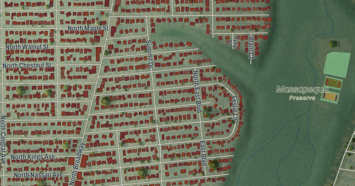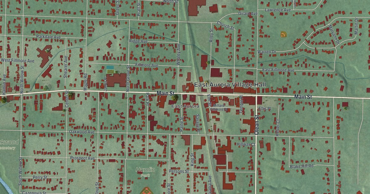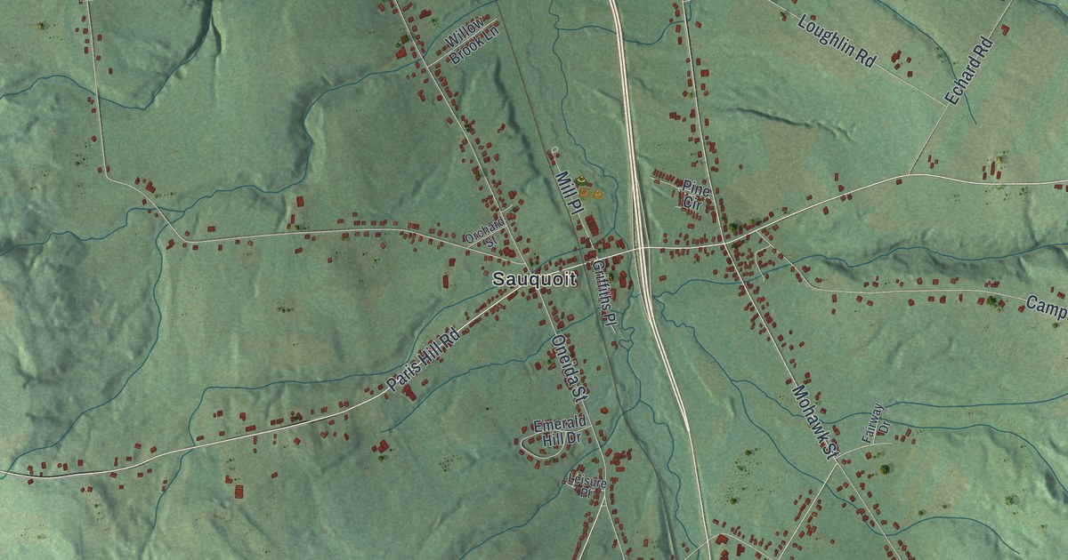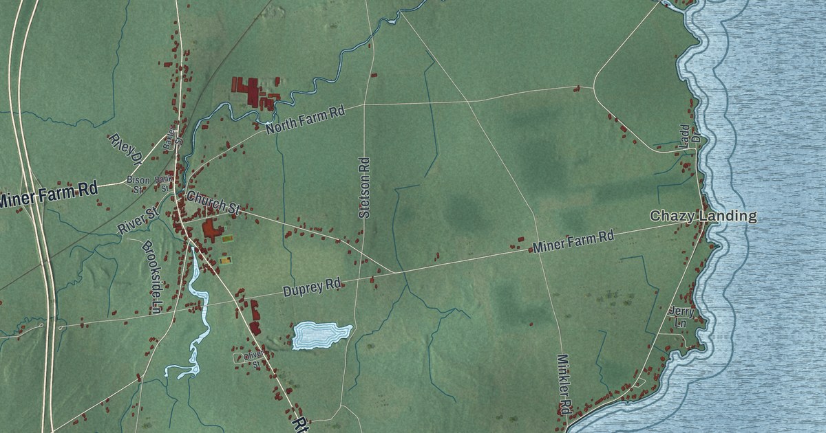
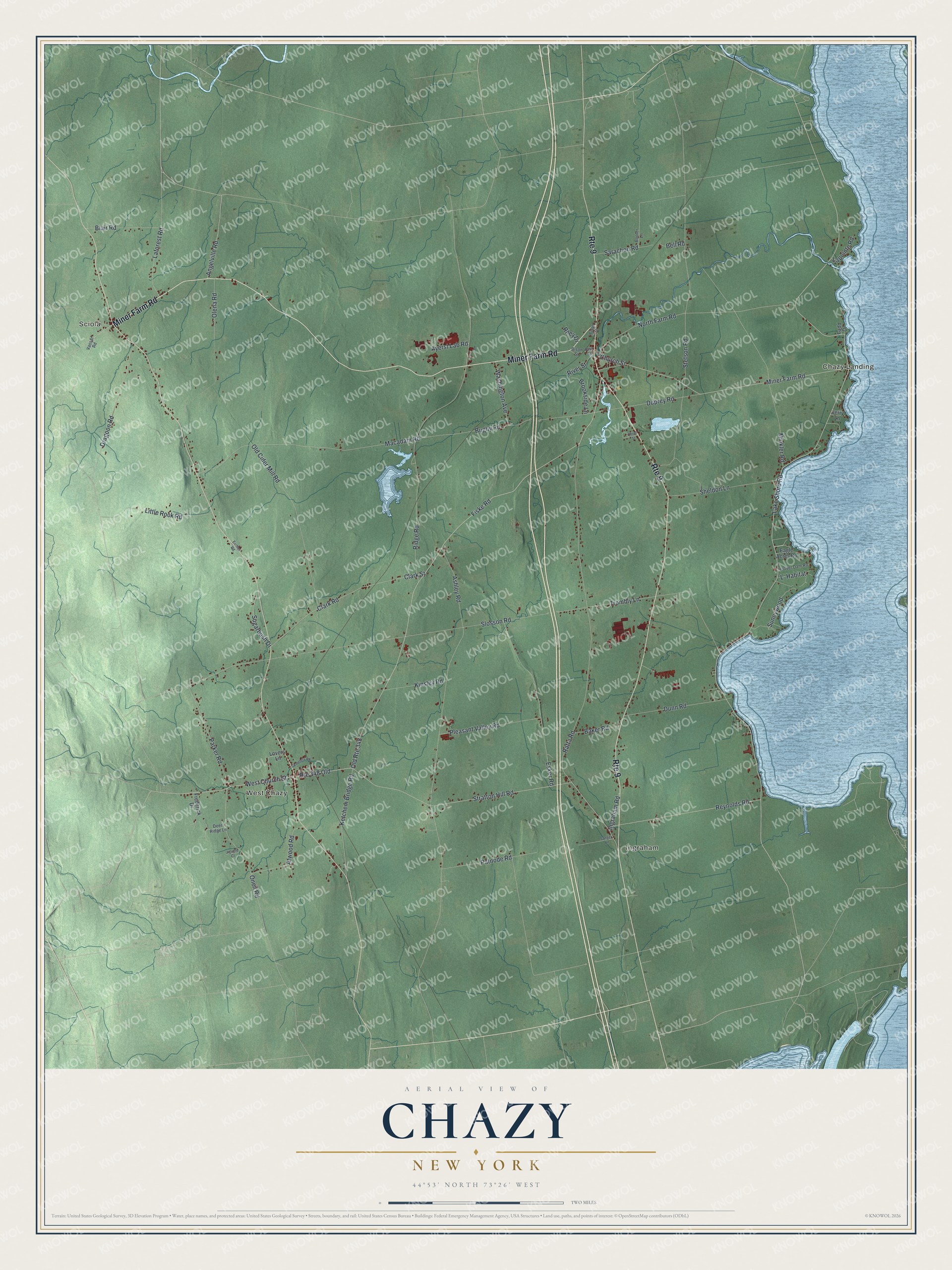
This beautifully detailed map of Chazy, New York was created in 2026 using aerial imagery combined with modern topographical, census, street and landmark data. It’s a one-of-a-kind view of Chazy that combines accurate data with a vintage aesthetic. The map shows every building in its true location, many of the roads carry their names, and the shaded topographic relief shows the shape of the land.
Explore an aerial view of Chazy, New York
On the map you’ll find Sciola, Chazy Landing, Ingraham, and West Chazy, along with Miner Farm Road, Fiske Road, Church Street, Lake Shore Road, Ridge Road, and more. If you look closely you can even find your house accurately drawn in its correct location. Zoom in on the preview to look for yours.
Did You Know?
Chazy is named for Lieutenant de Chezy, a French officer killed nearby by an Iroquois party in 1666. The first settler, Jean Fromboise, arrived in 1763. Burgoyne’s forces drove him off, but he came back after the Revolution. He became the first apple grower in the North Country. That’s from the 1940 WPA guide to New York.
Take a closer look at the Chazy map
Names on this map
These names are printed on this map.
Places: Sciola, Chazy Landing, Ingraham and West Chazy.
Streets and roads: Route 9, Miner Farm Road, Old Route 348, Fiske Road, Route 348 Old, West Church Street, Sunnywood, Lake Shore Road, Ridge Road, Clark Road, Clark Street, Slosson Road.
More street names, A to Z
Angelville Road, Ashley Road, Atwood Road, Ayerst Lab Road, Baker Road, Bank Street, Baxter Street, Bell Road, Bison Street, Blair Road, Booter Lane, Brookside Lane, Bugby Road, Cemetery Road, Church Street, Deer Ridge Lane, Dragoon Road, Dunn Road, Duprey Road, Eagle Acres Road, Eichler Road, Esker Road, Frederick Drive, Hoover Dam Road, Ingraham Road, Jerry Lane, Jiguere Court, Ketchem Bridge Road, Kinsley Road, L' Habitat, Ladd Drive, Laforest Road, Lapointe Road, Little Rock Road, Lovers Lane, Macadam Road, Minkler Road, North Farm Road, Old Cider Mill Road, Olena Road, Oliver Street, Oneil Road, Parker Road, Patnode Road, Pleasant Valley Road, Ratta Road, Reynolds Road, Riley Drive, River Street, Sanger Lane, Sarachon Road, Sheldon Lane, Stetson Road, Stratton Hill Road, Sugarbush Drive, Trombly Lane, Vassar Road, Washington Avenue.
See it on a wall
The Chazy map as a framed print. Swipe for more.


This beautifully detailed map of Chazy makes an attractive addition to your office, library, or den, and it can even be used to teach children the geography and history of the area. It also makes a great gift for anyone who grew up in Chazy or moved away. When you’re done exploring, click here to get your copy of the Chazy map.