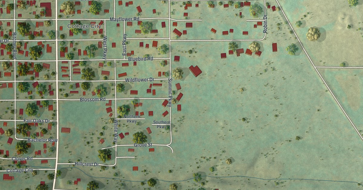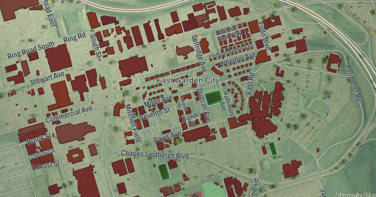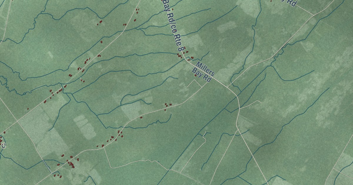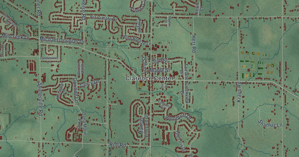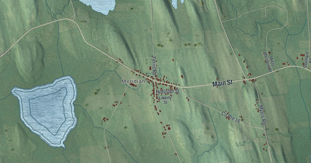
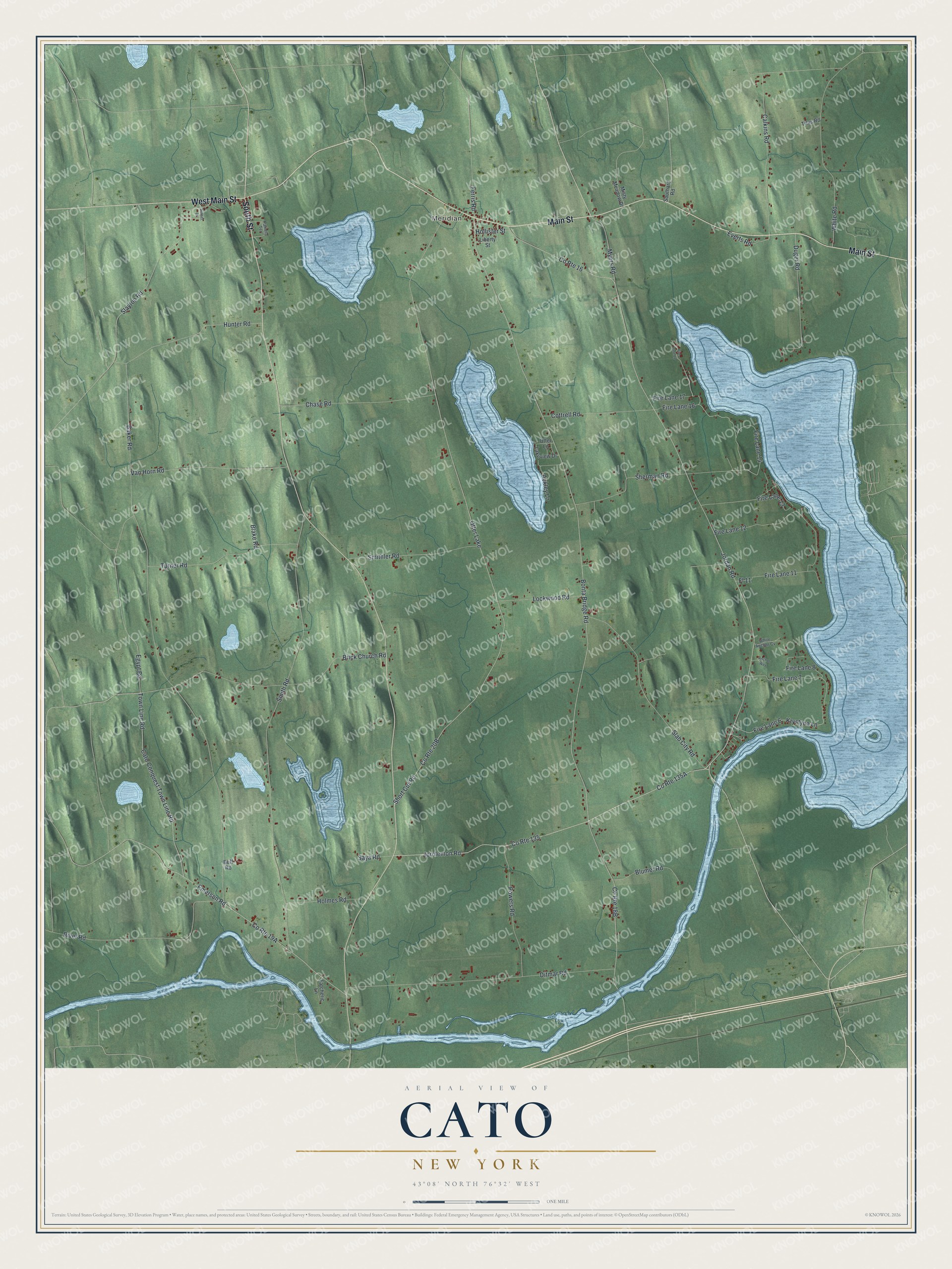
This beautifully detailed map of Cato, New York was created in 2026 using aerial imagery combined with modern topographical, census, street and landmark data. It’s a one-of-a-kind view of Cato that combines accurate data with a vintage aesthetic. The map shows every building in its true location, many of the roads carry their names, and the shaded topographic relief shows the shape of the land.
Explore an aerial view of Cato, New York
On the map you’ll find Meridian, along with Main Street, South Street, Jordan Road, Jorolemon Road, River Road, and more. If you look closely you can even find your house accurately drawn in its correct location. Zoom in on the preview to look for yours.
Did You Know?
Cato honors Cato the Elder, a statesman of ancient Rome. Surveyors of the Military Tract gave it that classical name. The tract was land held for veterans of the American Revolution. Settlers came slowly at first, then faster after the War of 1812.
Take a closer look at the Cato map
Names on this map
These names are printed on this map.
Places: Meridian and Otter Lake.
Streets and roads: Main Street, West Main Street, South Street, Jordan Road, County Route 16, Jorolemon Road, River Road, Fire Lane 16, County Route 135, Fire Lane 17, Fire Lane 14, Egypt Road.
More street names, A to Z
Ackley Lane, Anchor Way, Baker Road, Blake Road, Blumer Road, Bonta Bridge Road, Brick Church Road, Buff Road, Calkins Road, Cato Conquest Town Line Road, Chase Road, Cottrell Road, Ditmar Road, Duger Road, Emerson Road, Everts Road, Fatcheric Lane, Ferris Road, Fire Lane 6, Fire Lane 7, Fire Lane 8, Fire Lane 11, Fire Lane 12, Fire Lane 13, Fire Lane 18, Fl 11, Hollister Street, Holmes Road, Hunter Road, Krystyna Lane, Lakeview Drive, Liberty Street, Lockwood Road, Misty Meadow Drive, Myers Road, Otter Lane, Pamela Terrace, Powers Road, Saya Road, Sherman Road, Short Cut Road, Slab City Road, Slayton Road, Smithler Road, Smith Road, Southard Road, Sunset Drive, Titus Road, Town Line Road, Turner Road, Van Horn Road, White Anchor Cv, White Road.
See it on a wall
The Cato map as a framed print. Swipe for more.


This beautifully detailed map of Cato makes an attractive addition to your office, library, or den, and it can even be used to teach children the geography and history of the area. It also makes a great gift for anyone with Cato roots. When you’re done exploring, click here to get your copy of the Cato map.