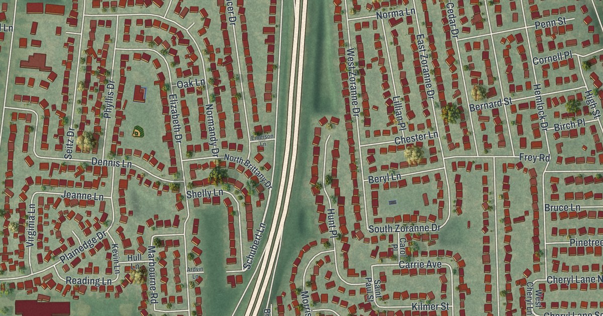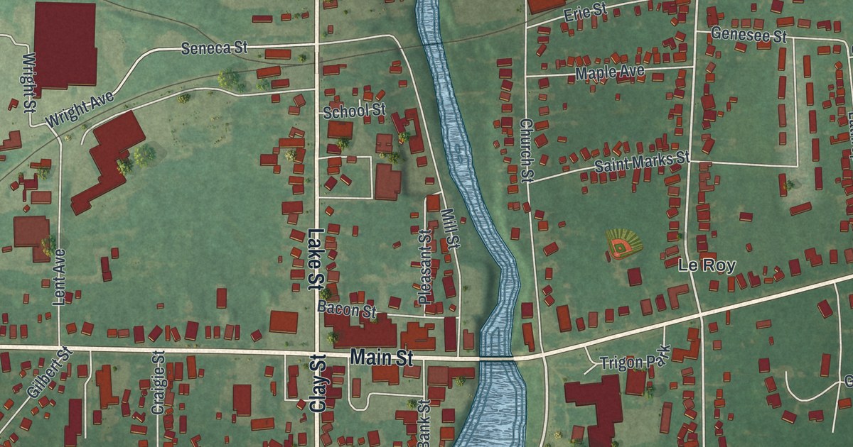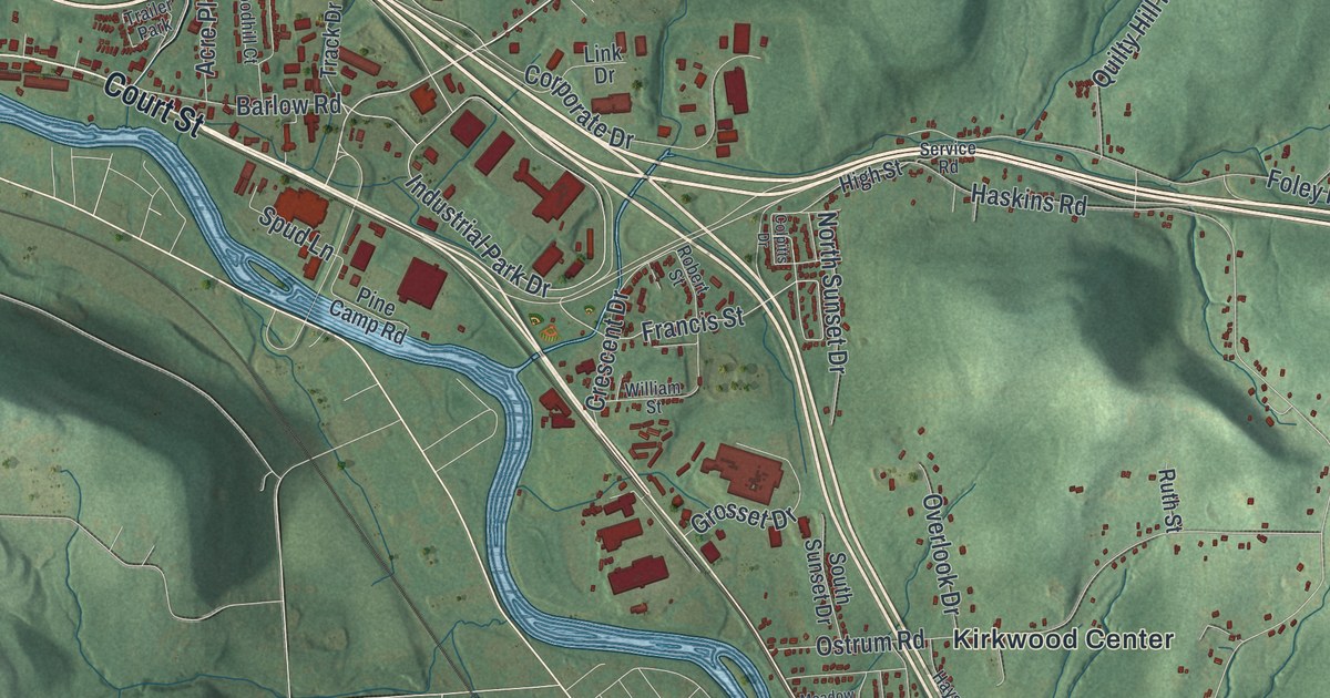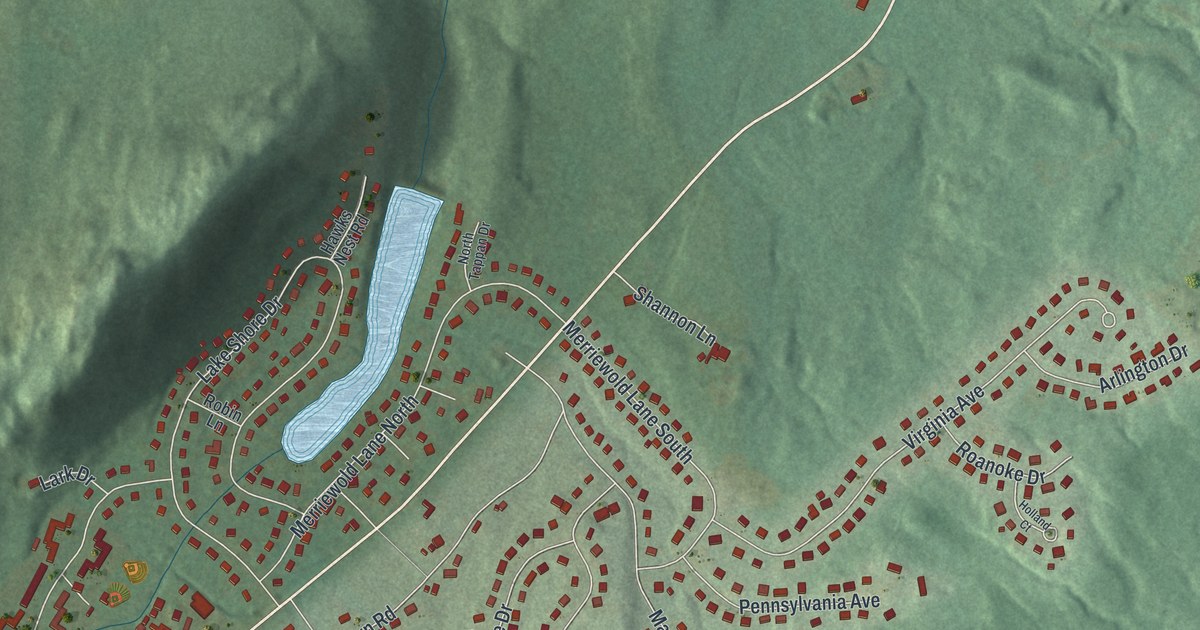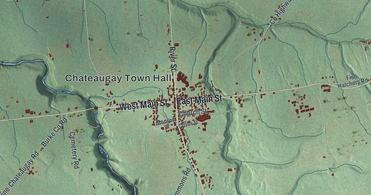
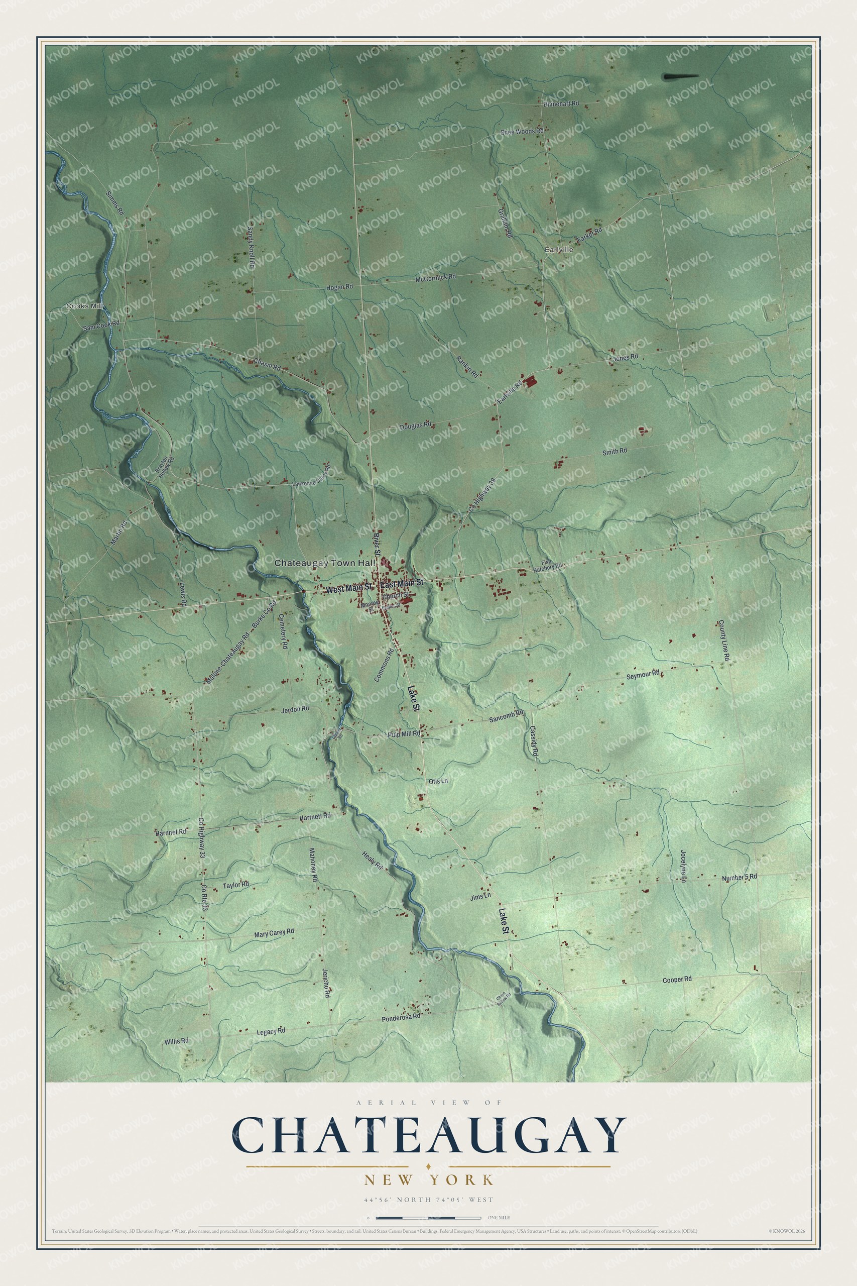
This beautifully detailed map of Chateaugay, New York was created in 2026 using aerial imagery combined with modern topographical, census, street and landmark data. It’s a one-of-a-kind view of Chateaugay that combines accurate data with a vintage aesthetic. The map shows every building in its true location, many of the roads carry their names, and the shaded topographic relief shows the shape of the land.
Explore an aerial view of Chateaugay, New York
On the map you’ll find Chateaugay Town Hall, Cooks Mill, and Earlville, along with Lake Street, Main Street, River Street, Healy Road, and more. If you look closely you can even find your house accurately drawn in its correct location. Zoom in on the preview to look for yours.
Did You Know?
French Canadians settled Chateaugay in 1796. They named it for the Canadian land grant next door, owned by Charles Lemoyne. A blockhouse went up here when the War of 1812 began. In 1813 General Wade Hampton led troops from here into Canada. After a short fight with the British, they retreated in a rout. That’s from the 1940 WPA guide to New York.
Take a closer look at the Chateaugay map
Names on this map
These names are printed on this map.
Places: Chateaugay Town Hall, Cooks Mill and Earlville.
Streets and roads: Lake Street, West Main Street, East Main Street, Healy Road, Ponderosa Road, Legacy Road, County Route 33, Jericho Road, Pulp Mill Road, Farker Road, County Highway 39, Earlville Road.
More street names, A to Z
Brayton Hollow Road, Burke County Road, Cassidy Road, Cemetery Road, Chase Hollow Road, Chasm Road, Church Street, Collins Street, Commons Road, Cooper Road, County Highway 33, County Line Road, Douglas Road, Fish Hatchery Road, Graham Road, Harnnet Road, Hartnett Road, Hogan Road, Jerdon Road, Jims Lane, Jocelyne Lane, Jones Road, Laplont Road, Lawrence Carey Road, Lewis Road, Mahoney Road, Malone-Chateaugay Road, Martin Road, Mary Carey Road, McCormick Road, Monroe Street, Number 5 Road, Otis Lane, Rankin Road, Rhinehart Road, River Street, Sam Cook Road, Sancomb Road, Sandy Knoll Road, Seymour Road, Shee Woods Road, Simms Road, Smith Road, Taylor Road, Willis Road.
See it on a wall
The Chateaugay map as a framed print. Swipe for more.


This beautifully detailed map of Chateaugay makes an attractive addition to your office, library, or den, and it can even be used to teach children the geography and history of the area. It also makes a great gift for anyone who grew up in Chateaugay or moved away. When you’re done exploring, click here to get your copy of the Chateaugay map.