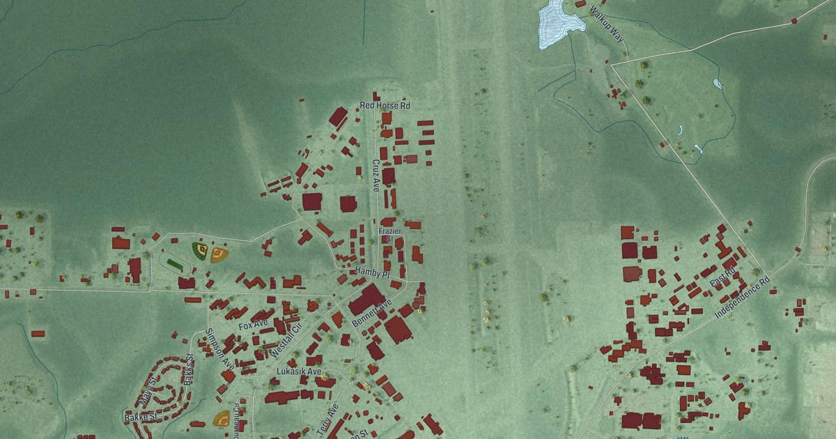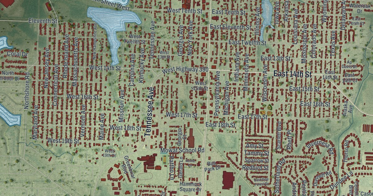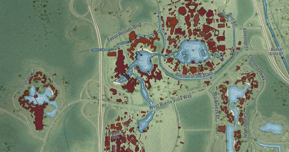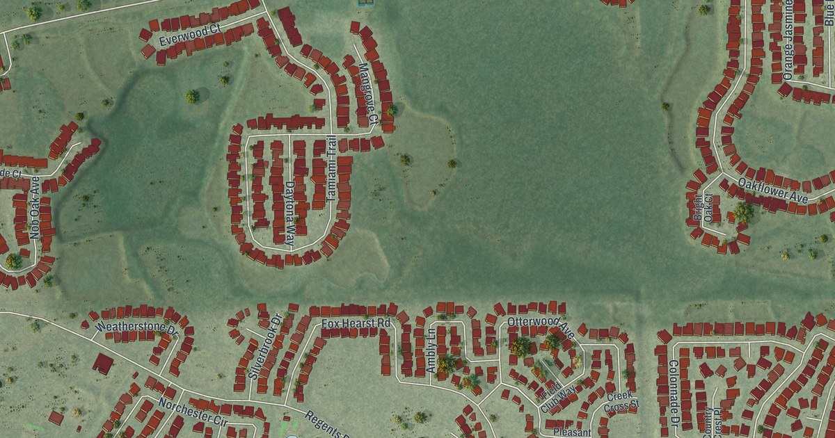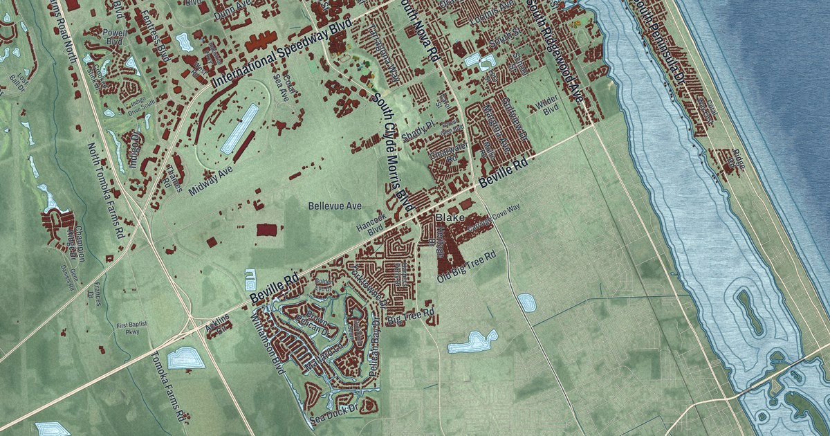
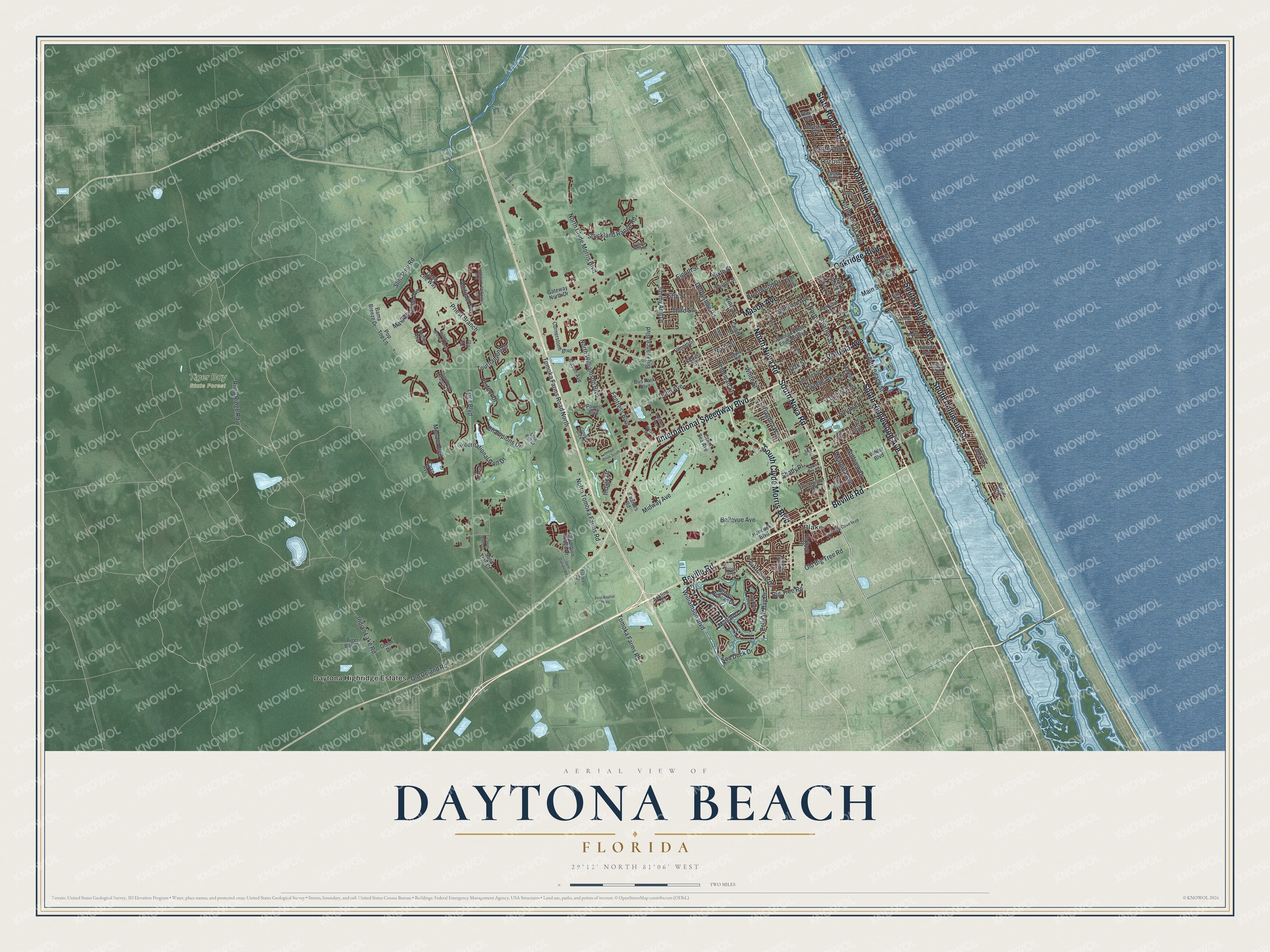
This beautifully detailed map of Daytona Beach, Florida was created in 2026 using aerial imagery combined with modern topographical, census, street and landmark data. It’s a one-of-a-kind view of Daytona Beach that combines accurate data with a vintage aesthetic. The map shows every building in its true location, many of the roads carry their names, and the shaded topographic relief shows the shape of the land.
Explore an aerial view of Daytona Beach, Florida
On the map you’ll find Ortona, Tiger Bay State Forest, Blake, and Daytona Highridge Estates, along with South Peninsula Drive, South Atlantic Avenue, Beville Road, North Atlantic Avenue, International Speedway Boulevard, South Nova Road, Volusia Avenue, State Road A1A, and more. If you look closely you can even find your house accurately drawn in its correct location. Zoom in on the preview to look for yours.
Did You Know?
In 1871, Mathias Day of Mansfield, Ohio, bought the old Orange Grove Plantation and built a hotel. The town grew up around it. Day lost his land in 1872 over money troubles. Residents still named the town Daytona to honor him.
Take a closer look at the Daytona Beach map
Names on this map
These names are printed on this map.
Places: Ortona, Tiger Bay State Forest, Blake and Daytona Highridge Estates.
Streets and roads: South Peninsula Drive, South Atlantic Avenue, Beville Road, North Atlantic Avenue, International Speedway Boulevard, South Nova Road, Volusia Avenue, Mason Avenue, South Ridgewood Avenue, South Clyde Morris Boulevard, North Nova Road, Oakridge Boulevard.
More street names, A to Z
Acklins Circle, Attitude Avenue, Auditorium Boulevard, Bama Breeze Drive, Basin Street, Bellevue Avenue, Big Tree Road, Bill France Boulevard, Birkdale Drive, Boylston Avenue, Brentwood Drive, Brown Pelican Drive, Bus Park Boulevard, Cabot Cliffs Drive, Carol Street, Carriage Cove Way, Champion Ridge Drive, Champions Drive, Clearwater Road, Colfax Drive, Coral Sea Avenue, Coral Way East, Cornerstone Boulevard, Crooked Stick Drive, Cyan Avenue, Dahoon Holly Drive, Derbyshire Road, Dunn Avenue, Eighth Street, Essex Road, Fairview Avenue, Fentress Boulevard, Fifth Avenue, Fifth Street, First Avenue, First Baptist Parkway, Flagstone Drive, Florida Street, Forest Glen Boulevard, Fourth Street, Frances Drive, Frazar Road, Gateway North Drive, Gene Daniels Road, George West Engram Boulevard, Golden Eye Drive, Golfview Drive, Good Life Way, Gull Drive South, Hampton Road, Hancock Boulevard, Hand Avenue, Harpers Ferry Drive, Hartford Avenue, Heineman Street, Heritage Drive, Hillside Avenue, Illinois Street, Indian Lake Road, Indigo Drive, Indigo Drive South, Industrial Parkway, International Golf Drive, Island Breeze Avenue, Jimmy Ann Drive, Land Shark Boulevard, Landshark Boulevard, Lane Street, Lenox Avenue, Loomis Avenue, Lora Street, Lost Ball Drive, Lpga Boulevard, Madison Avenue, Magnolia Avenue, Main Street, Mallard Lane, Margaritaville Avenue, Margina Avenue, Marion Street, Mason Park Drive, Midway Avenue, Mobile Avenue, Mollie Road, Mosaic Boulevard, Mulberry Street, North Beach Street, North Charles Street, North Clyde Morris Boulevard, North Halifax Avenue, North Street, North Tomoka Farms Road, North Williamson Boulevard, Oak Street, Old Big Tree Road, Old Deland Road, Olson Drive, Orange Avenue, Ora Street, Pelican Bay Drive, Perfect Drive, Plaza Boulevard, Pop Top Lane, Powell Boulevard, Priest Branch, Ridge Road, Rima Ridge Road, Sand Trap Court, School Street, Sea Duck Drive, Shady Place, Sixth Street, Slim Pine Road, South Beach Street, South Street, Strickland Range Road, Tarragona Way, Thames Road, Third Avenue, Third Street, Thornberry Branch Lane, Tiger Bay Road, Tiki Terrace, Tomoka Farms Road, Tomoka Farms Road North, Tomoka Road, Tournament Drive, Tropics Avenue, Vine Street, West Road, White Street, Wilder Boulevard, Williamson Boulevard, Yorktowne Drive, Zelda Boulevard.
See it on a wall
The Daytona Beach map as a framed print. Swipe for more.


This beautifully detailed map of Daytona Beach makes an attractive addition to your office, library, or den, and it can even be used to teach children the geography and history of the area. It also makes a great gift for anyone who grew up in Daytona Beach or moved away. When you’re done exploring, click here to get your copy of the Daytona Beach map.