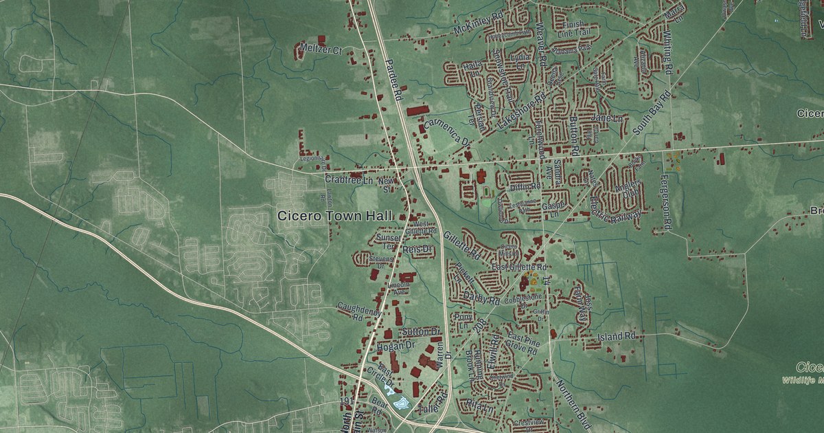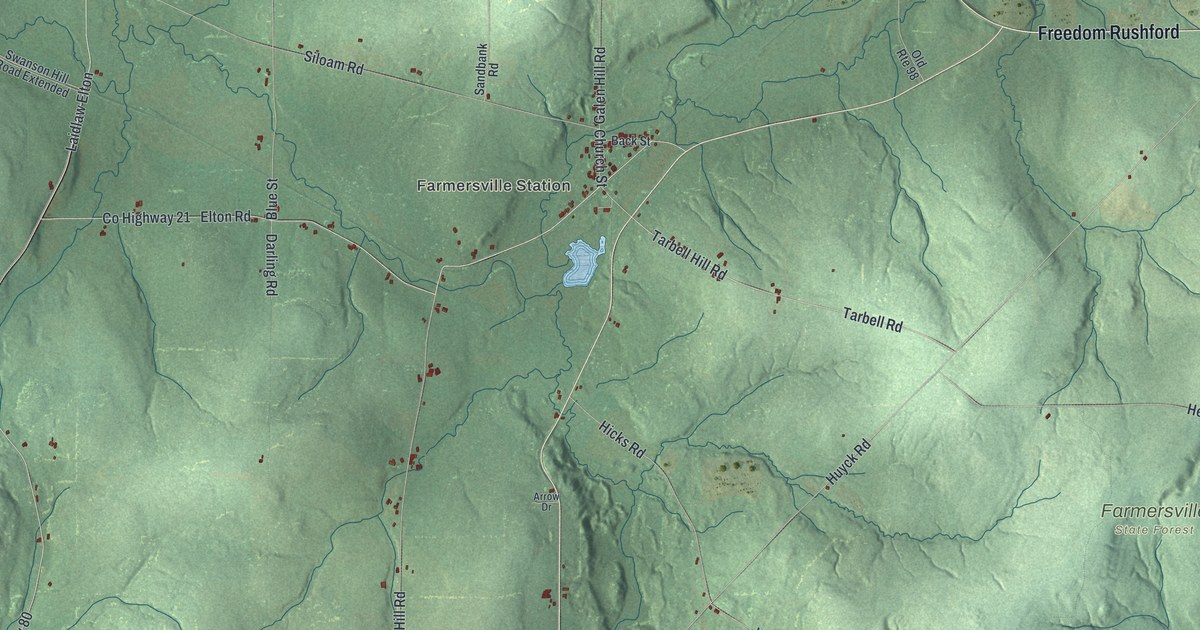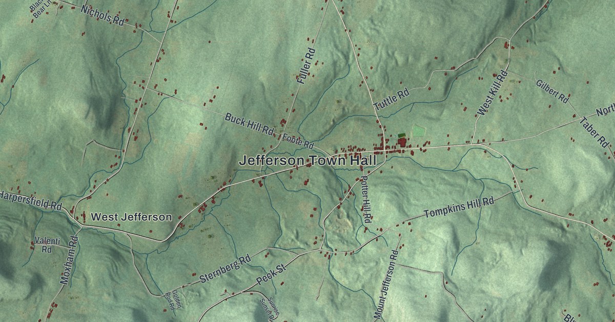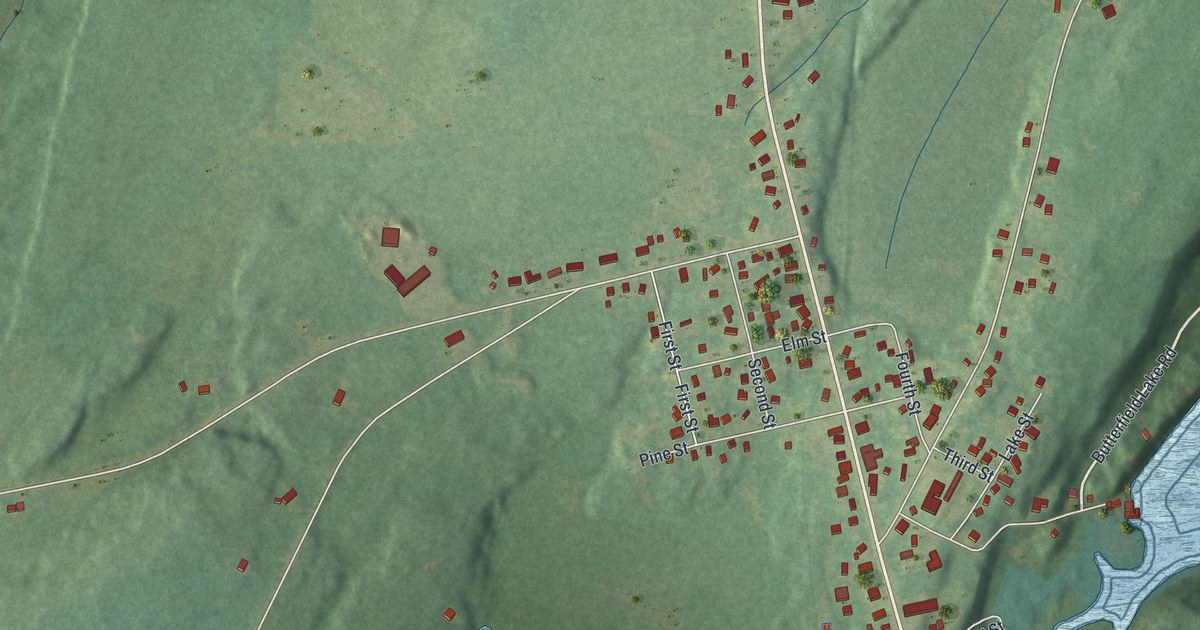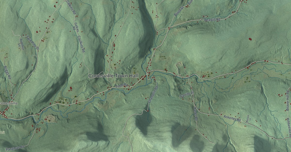
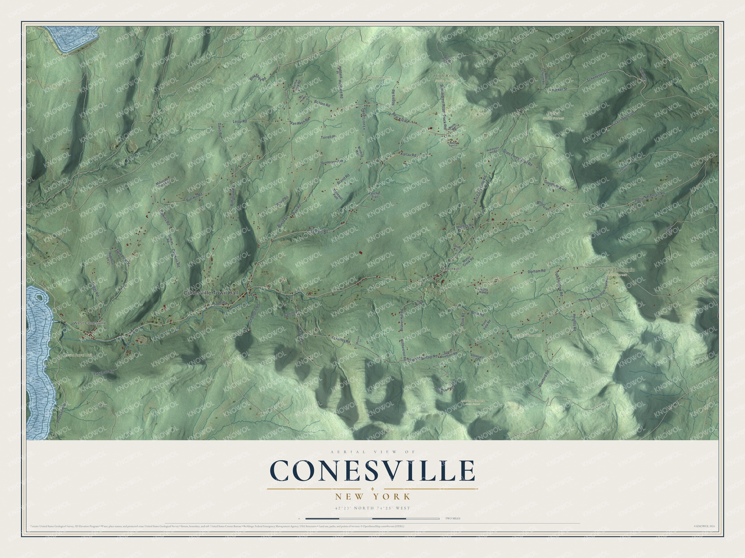
This beautifully detailed map of Conesville, New York was created in 2026 using aerial imagery combined with modern topographical, census, street and landmark data. It’s a one-of-a-kind view of Conesville that combines accurate data with a vintage aesthetic. The map shows every building in its true location, many of the roads carry their names, and the shaded topographic relief shows the shape of the land.
Explore an aerial view of Conesville, New York
On the map you’ll find Conesville Town Hall, West Conesville, Manorkill, Ashland Pinnacle State Forest, Bates State Forest, High Knob State Forest, and South Mountain State Forest, along with Bearkill Road, Champlin Road, Rogers Road, and more. If you look closely you can even find your house accurately drawn in its correct location. Zoom in on the preview to look for yours.
Did You Know?
Conesville took its name from Jonathan Cone, one of its early residents. Settlers first arrived around 1764 on land patented in 1754. It became a separate town in 1836, carved from parts of Durham and Broome.
Take a closer look at the Conesville map
Names on this map
These names are printed on this map.
Places: Conesville Town Hall, West Conesville, Manorkill, Ashland Pinnacle State Forest, Bates State Forest, Bluebird Road Unit, High Knob State Forest, Hubbard Hill Unit, Mount Royal Unit and South Mountain State Forest.
Streets and roads: Bearkill Road, Champlin Road, Bear Kill Road, Rogers Road, Hubbard Road, Potter Mountain Road, Pucker Street, Schenester Lane, Calkins Road, Caulkins Road, Prattsville Road, Pangman Road.
More street names, A to Z
Ackerley Road, Antonucci Drive, Apple Tree Lane, Audobon Lane, Bates Church Road, Beaver Hill Road, Blakesley Road, Bluebird Road, Bohlen Road, Brand Road, Brand Street, Briggs Road, Buel Road, Bull Hill Road, Bush Road, Buzzard Lane, Carrillo Place, Cook Road, Davis Road, Deer Run Road, Durham Road, East Conesville Road, Fancher Trail, Galkins Road, Goodfellow Road, Gunderson Path, Haner Road, Heights Road, Hubbard Hill Road, Hubbard Place, Hughes Road, Karlau Road, Leroy Road, Lost Mountain, Manor Creek Road, Maple Lane, Martha Rock Road, Mountain Pond Road, North Road, Pond View Road, Pucker Saint Spr, Quincy Lane, Red House Hill Road, Robinson Road, Shale Pit Road, South Mountain Road, South Mountain State Trail Road, State Forest Road- Truck Route, State Forest Trail Road, Stonewall Path, Stony Hill Road, Sweet Lion Lane, Tanglewood Road, Tarver Road, Terrell Place, Timm Road, Toles Hollow Road, Twin Pine Drive, Van Aken Road, Whitetail Road, Wildlife Lane, Winding Way, Wood Road.
See it on a wall
The Conesville map as a framed print. Swipe for more.


This beautifully detailed map of Conesville makes an attractive addition to your office, library, or den, and it can even be used to teach children the geography and history of the area. It also makes a great gift for anyone with Conesville roots. When you’re done exploring, click here to get your copy of the Conesville map.