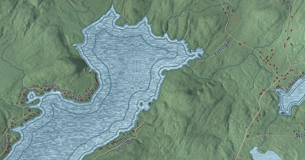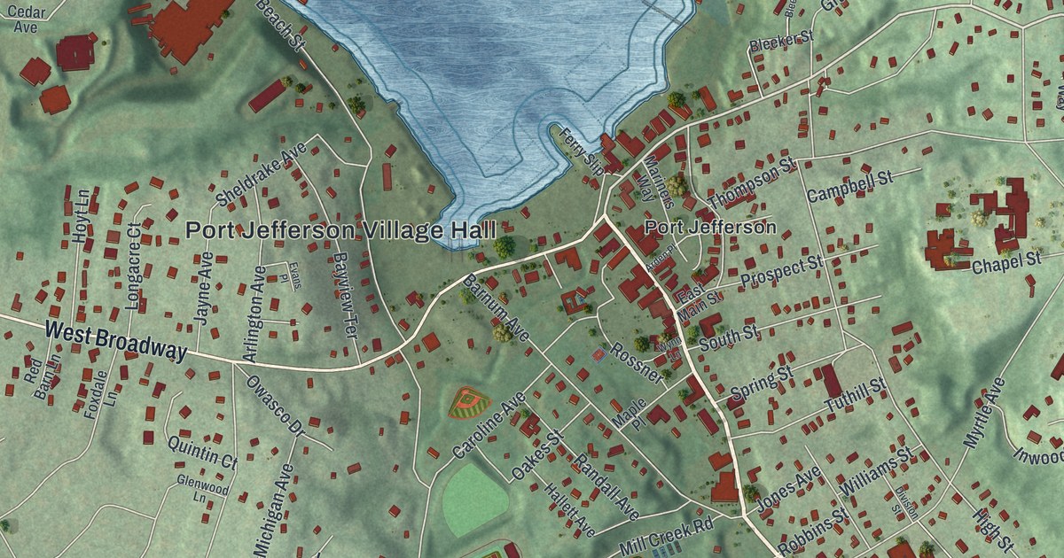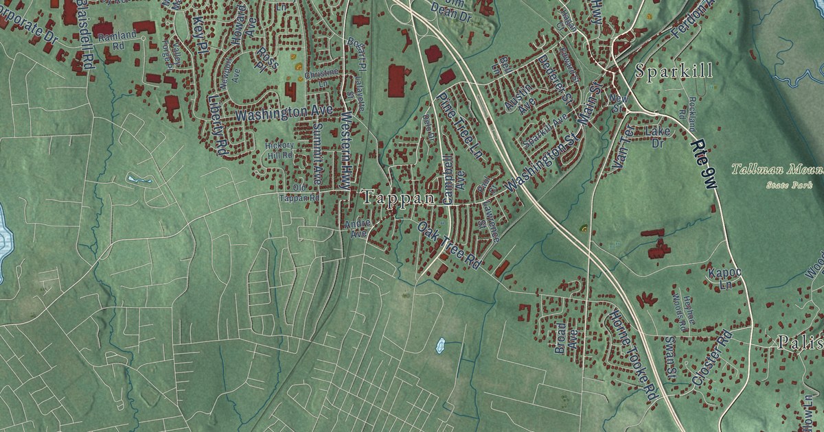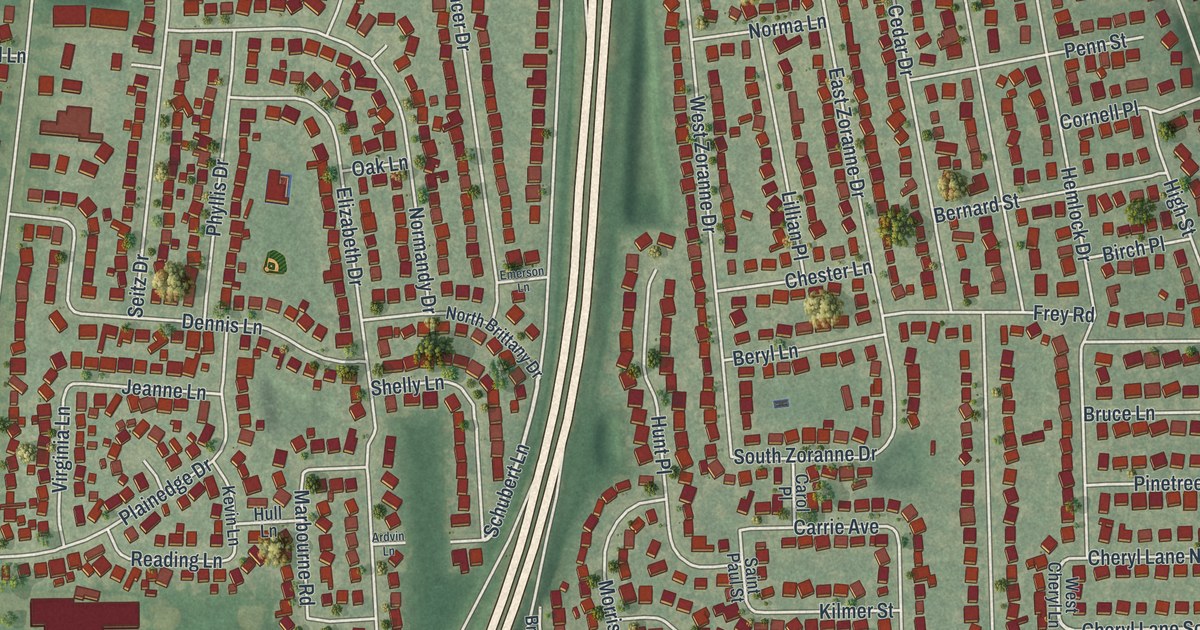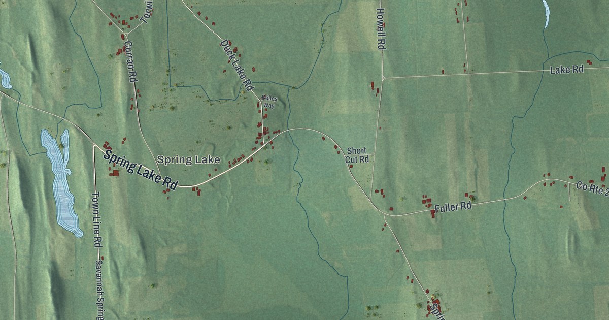
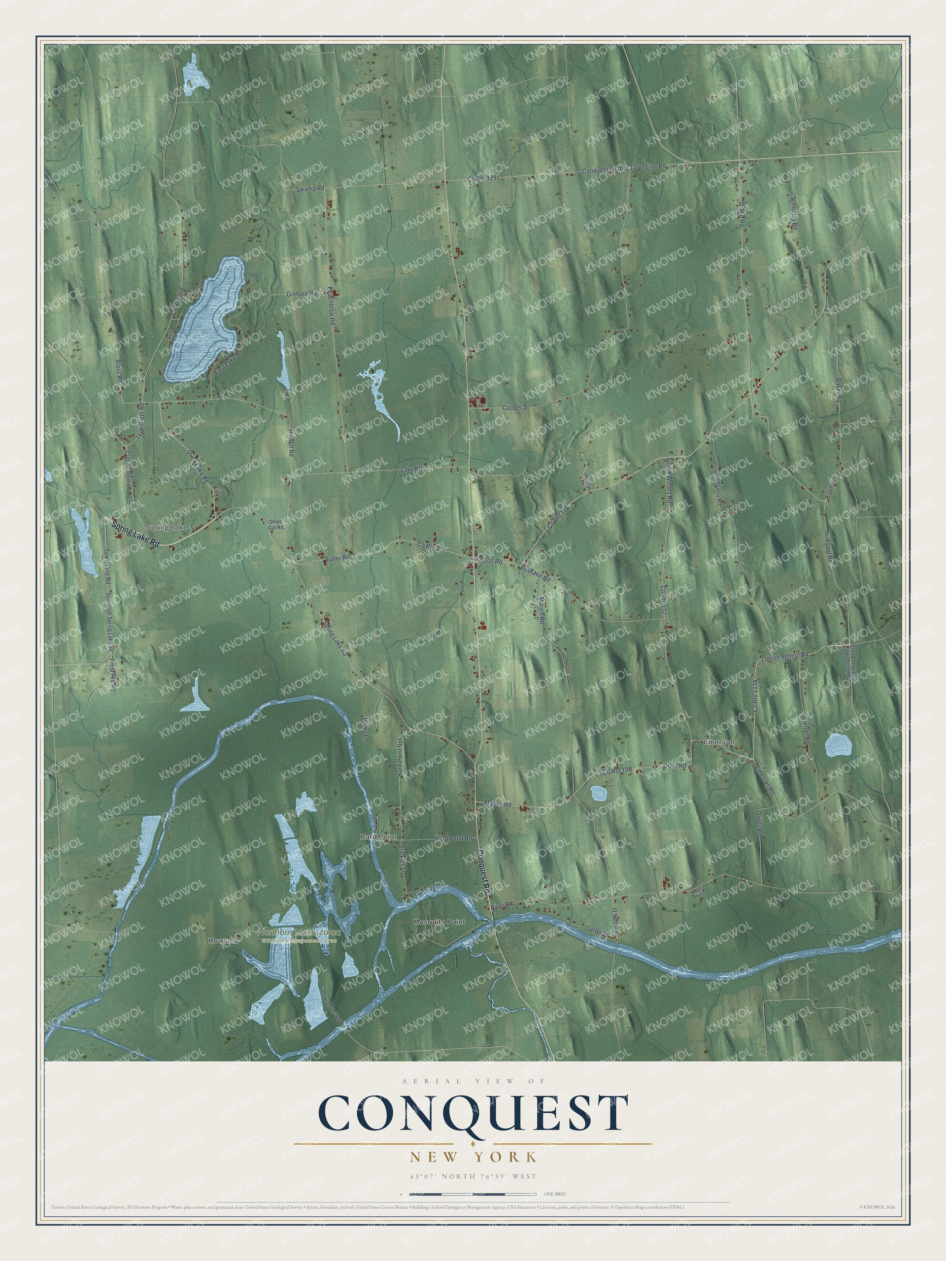
This beautifully detailed map of Conquest, New York was created in 2026 using aerial imagery combined with modern topographical, census, street and landmark data. It’s a one-of-a-kind view of Conquest that combines accurate data with a vintage aesthetic. The map shows every building in its true location, many of the roads carry their names, and the shaded topographic relief shows the shape of the land.
Explore an aerial view of Conquest, New York
On the map you’ll find Howland, Spring Lake, Emerson, Hard Point, Mosquito Point, and Northern Montezuma Wildlife Management Area, along with Spring Lake Road, Conquest Road, Slayton Road, Duck Lake Road, Egypt Road, and more. If you look closely you can even find your house accurately drawn in its correct location. Zoom in on the preview to look for yours.
Did You Know?
Conquest split off from the town of Cato in 1821 after a bitter fight over whether to divide. The people who wanted the new town won. They chose the name Conquest to mark their win. Victory, another town formed at the same time, got its name to celebrate the outcome too.
Take a closer look at the Conquest map
Names on this map
These names are printed on this map.
Places: Howland, Spring Lake, Emerson, Hard Point, Northern Montezuma Wildlife Management Area and Mosquito Point.
Streets and roads: Spring Lake Road, Conquest Road, Slayton Road, Duck Lake Road, Egypt Road, Howell Road, Town Line Road, Drake Road, Lemon School Road, Terwilliger Road, Marvin Road, Blass Road.
More street names, A to Z
Aldrich Road, Baker Road, Belles Way, Bruns Lane, Bush Hill Road, Carley Drive, Cato Conquest Town Line Road, Conquest Victory Town Line Road, Cooper Street, County Route 22, County Route 129, County Route 132, Curran Road, Dietzel Road, Dusty Lane, East Lake Road, Egypt Lane, Emerson Road, Frost Hill Road, Fuller Road, Gilmore Road, Hard Point Road, Hard Point Spr, Howland Island Road, Hunter Road, Lake Road, Lilly Lane, Lily Lane, Montana Road, Moss Point, O'Neil Road, Oliver Road, Oneil Road, Peachblow Road, River Road, Savannah Spring Lake Road, Schooley Road, Short Cut Road, Spook Woods Road, Stickles Lane, Sus Lane, Swamp Road.
See it on a wall
The Conquest map as a framed print. Swipe for more.


This beautifully detailed map of Conquest makes an attractive addition to your office, library, or den, and it can even be used to teach children the geography and history of the area. It also makes a great gift for anyone with Conquest roots. When you’re done exploring, click here to get your copy of the Conquest map.