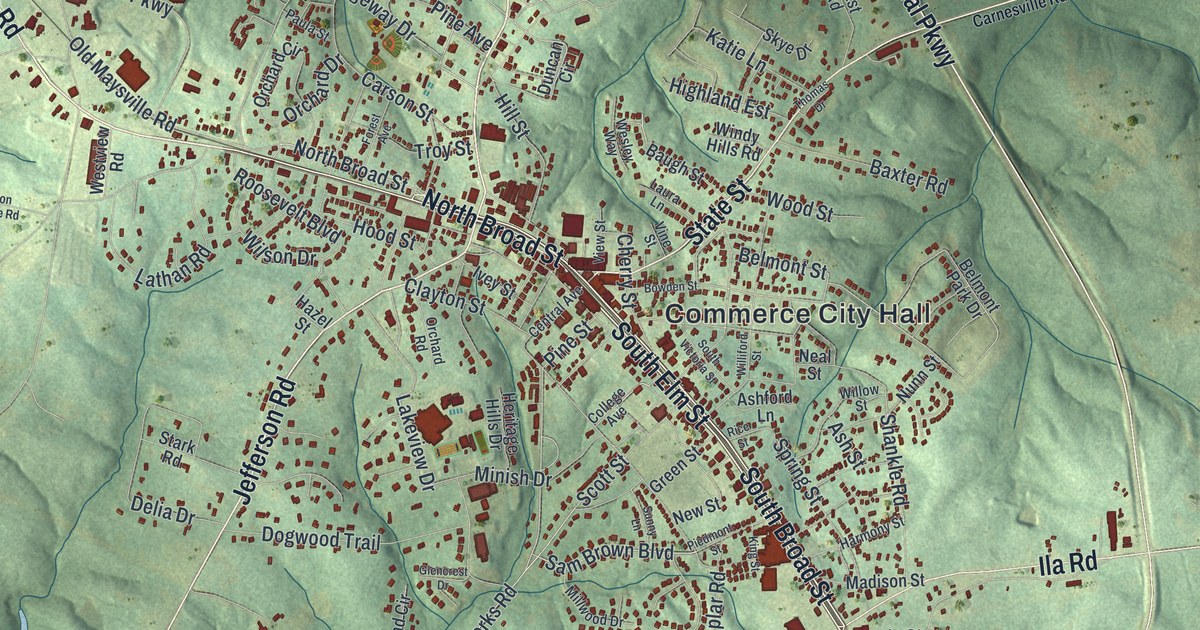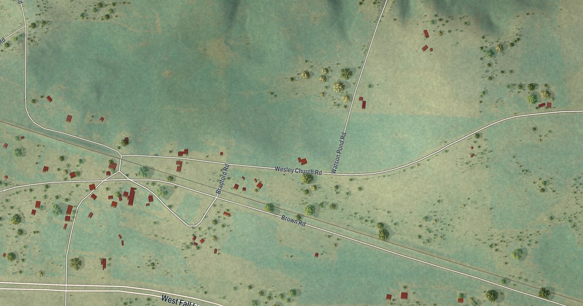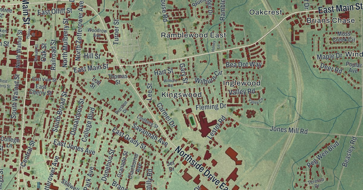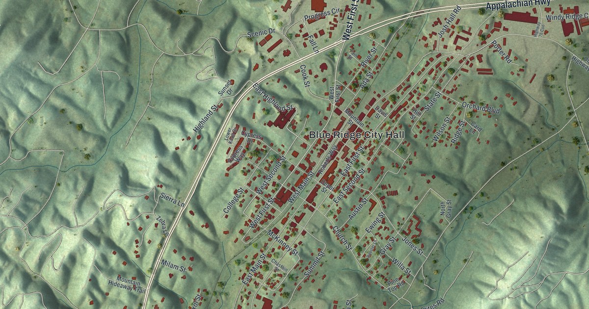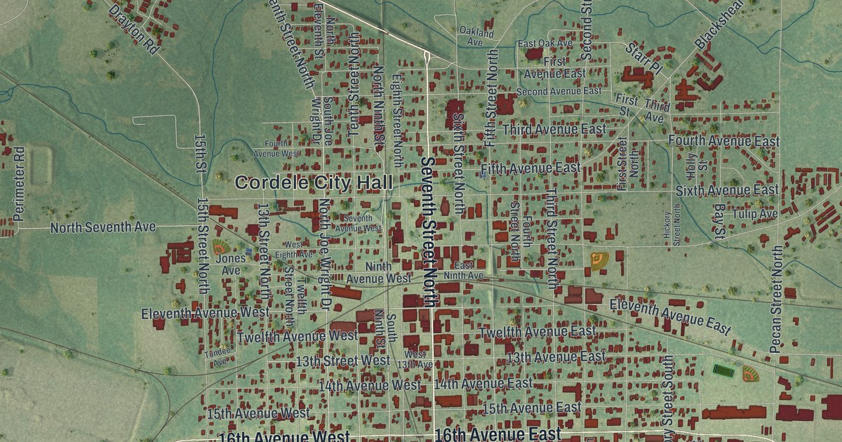
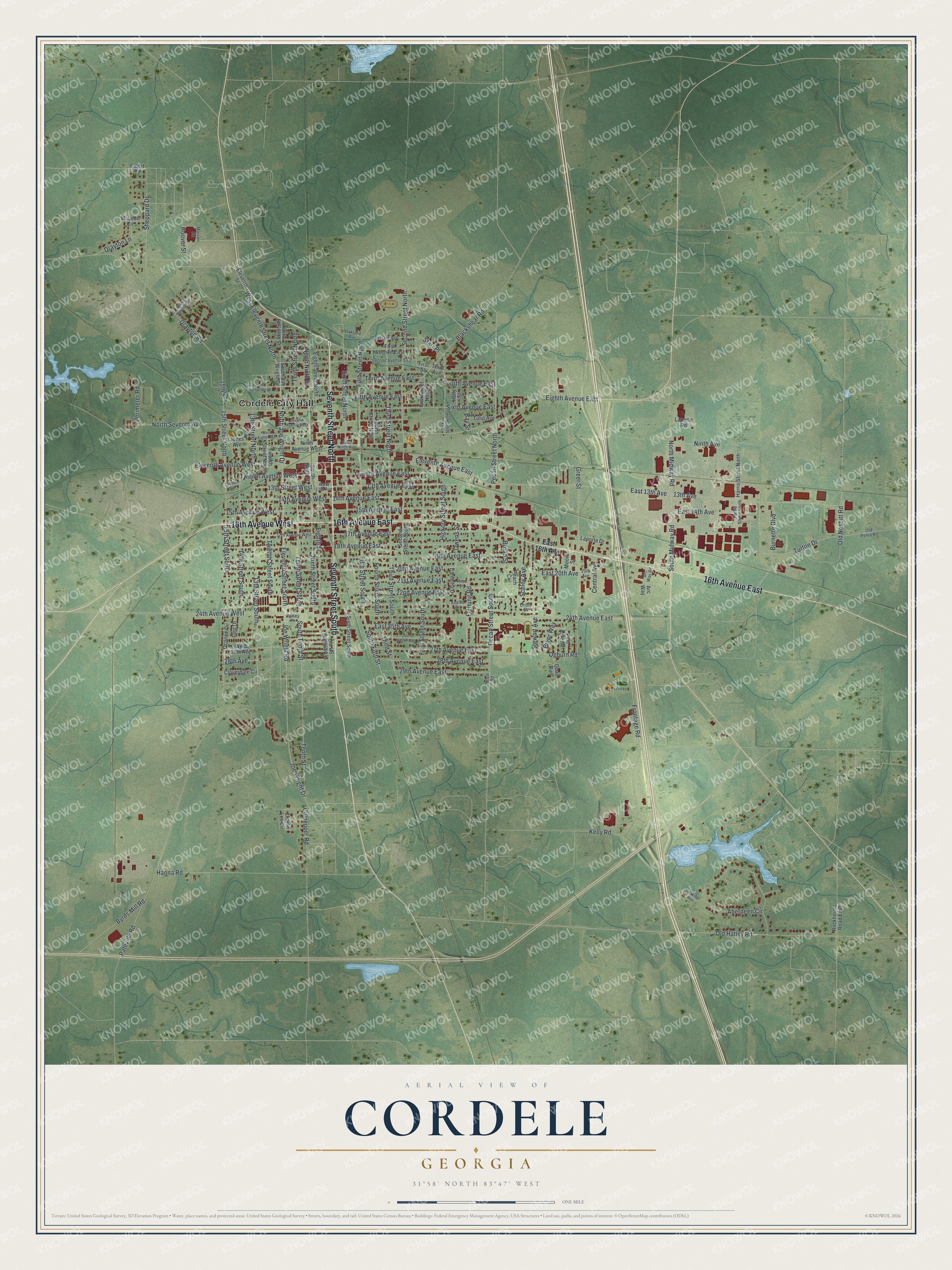
This beautifully detailed map of Cordele, Georgia was created in 2026 using aerial imagery combined with modern topographical, census, street and landmark data. It’s a one-of-a-kind view of Cordele that combines accurate data with a vintage aesthetic. The map shows every building in its true location, many of the roads carry their names, and the shaded topographic relief shows the shape of the land.
Explore an aerial view of Cordele, Georgia
On the map you’ll find Cordele City Hall, along with Seventh Street, Eleventh Avenue, Ninth Street, Eleventh Street, and more. If you look closely you can even find your house accurately drawn in its correct location. Zoom in on the preview to look for yours.
Did You Know?
J.E.D. Shipp of Americus founded Cordele in 1888 where two major railroads met. The city was named for Cordelia Hawkins. She was the eldest daughter of Colonel Samuel Hawkins, president of the Savannah, Americus and Montgomery Railway. The railroads brought people and business, and the young town grew fast.
Take a closer look at the Cordele map
Names on this map
These names are printed on this map.
Places: Cordele City Hall.
Streets and roads: Seventh Street North, Seventh Street South, 16th Avenue East, 16th Avenue West, Eleventh Avenue East, Eleventh Avenue West, 15th Street North, North Ninth Street, Eleventh Street South, 15th Street, North Joe Wright Drive, West Eleventh Street North.
More street names, A to Z
13th Avenue, 13th Avenue East, 13th Street North, 13th Street South, 13th Street West, 14th Avenue East, 14th Avenue West, 14th Street South, 15th Avenue East, 15th Avenue West, 15th Street South, 17th Avenue East, 17th Avenue West, 18th Avenue East, 19th Avenue East, 20th Avenue, 20th Avenue East, 21st Avenue East, 22nd Avenue East, 24th Avenue East, 24th Avenue West, 26th Avenue East, 27th Avenue East, 28th Avenue, 28th Avenue East, 29th Avenue East, Aberdeen Circle, Arc Way, Arc Way Road, Azalea Circle, Bay Street, Blackshear Road, Blue Springs Drive, Broad Street, Burnette Boulevard, Byrds Mill Road, Camellia Drive, Central Avenue, Charlie Lee Circle, Cloverdale Circle, Culpepper Road, Drayton Lane, Drayton Road, East 13th Avenue, East 14th Avenue, East 16th Avenue, East 20th Avenue, East 25th Avenue, East Ninth Avenue, East Oak Avenue, Eighth Avenue East, Eighth Street, Eighth Street North, Elbert Road, Eleventh Street, Fifth Avenue East, Fifth Street North, Fifth Street South, First Avenue East, First Street, First Street North, First Street South, Fleming Road, Flint Drive, Fourth Avenue East, Fourth Avenue West, Fourth Street North, Fourth Street South, Frontage Road, Greer Street, Hanna Road, Harris Street North, Harris Street South, Hickory Street North, Hickory Street South, Holly Street, Holsey Place, Hoover Street, Joe Wright Drive, Joe Wright Road, Jones Avenue, Kelly Road, Laporte Drive, Laporte Road, Lockridge Way, Marvair Road, McLeod Circle, Moore Street, Ninth Avenue, Ninth Avenue West, Ninth Street South, North Eleventh Street, North Midway Road, North Seventh Avenue, Oakland Avenue, Oconee Circle, Ogburn Road, Old Hatley Road, Old Nesbitt Road, Old Penia Road, Old US Highway 41, Oriole Street, Owens Street, Pateville Road, Peach Circle, Pecan Street North, Pecan Street South, Perimeter Road, Pine Acres Drive, Pryor Way, Quail Run, Rockhouse Road East, Rose Lane, Royal Road, Schley Avenue, Second Avenue East, Second Street North, Second Street South, Seventh Avenue West, Sheppard Drive, Sixth Avenue East, Sixth Street North, Sixth Street South, South Fifth Street, South Joe Wright Drive, South Midway Road, South Ninth Street, South Tenth Street, Starr Place, Stewart Avenue, Tenth Street, Tenth Street North, Tenth Street South, Third Avenue, Third Avenue East, Third Street, Third Street North, Third Street South, Tulip Avenue, Tundee Avenue, Turton Drive, Twelfth Avenue East, Twelfth Avenue West, Twelfth Street North, Twelfth Street South, West 13th Avenue, West 27th Avenue, West Eighth Avenue.
See it on a wall
The Cordele map as a framed print. Swipe for more.


This beautifully detailed map of Cordele makes an attractive addition to your office, library, or den, and it can even be used to teach children the geography and history of the area. It also makes a great gift for someone who left Cordele and still calls it home. When you’re done exploring, click here to get your copy of the Cordele map.