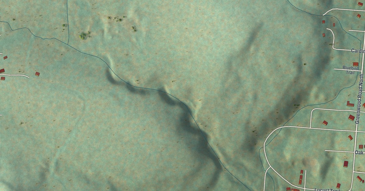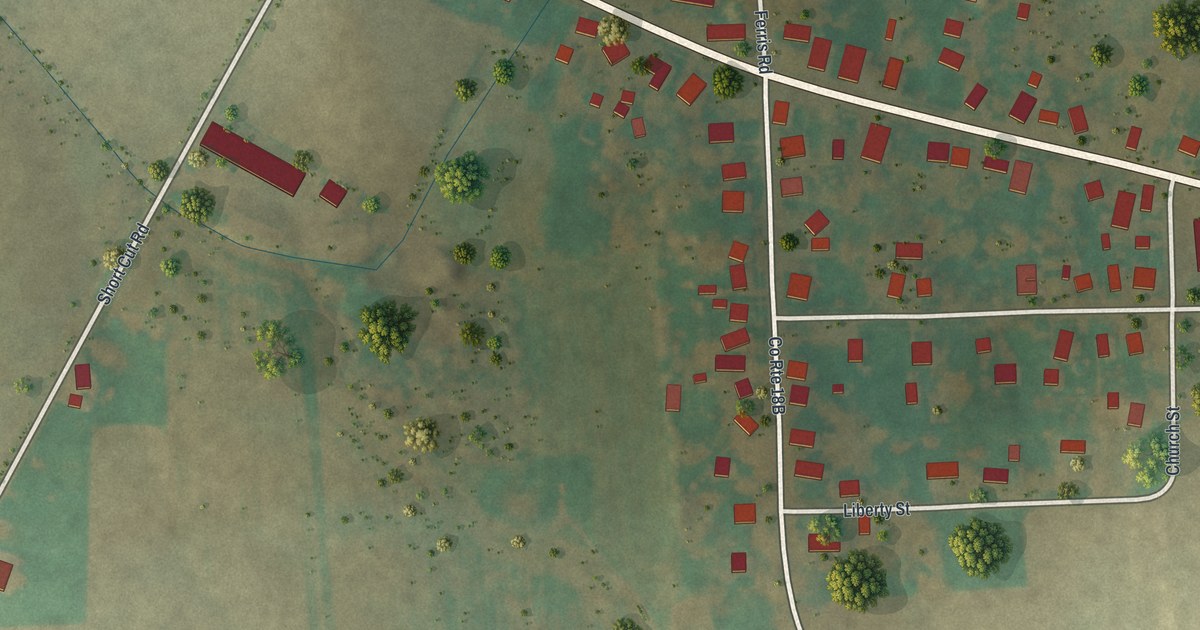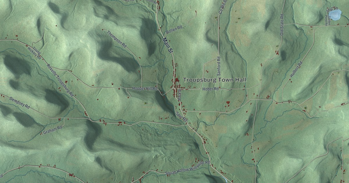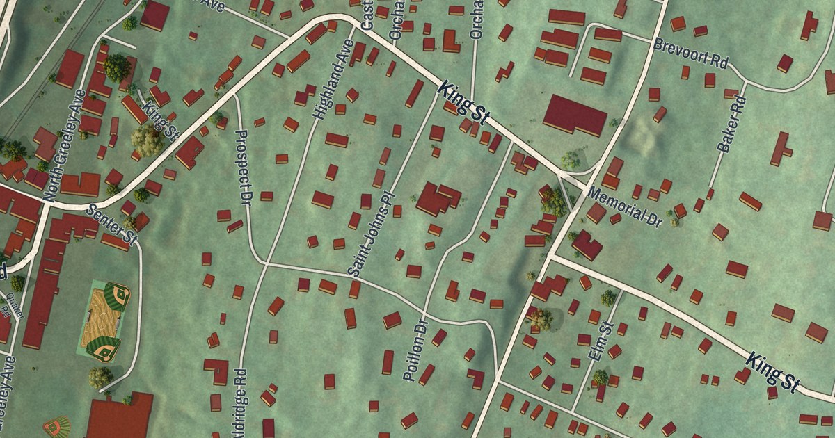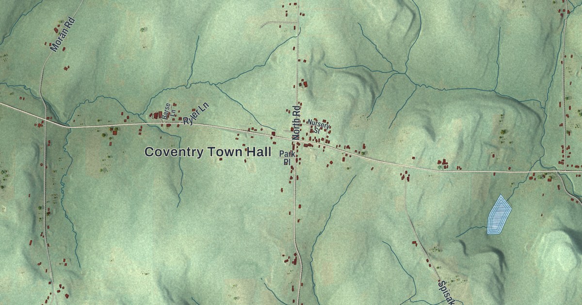
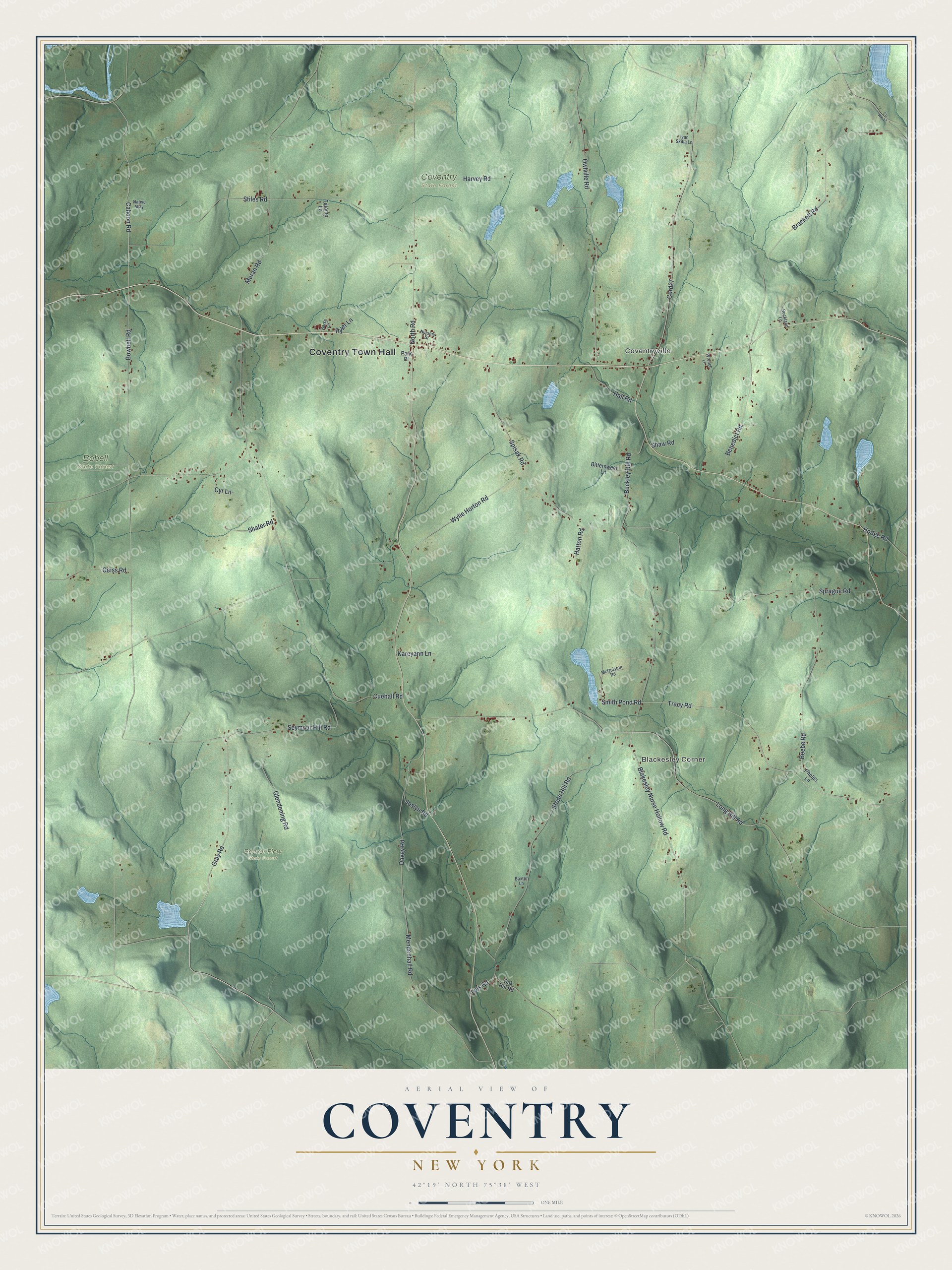
This beautifully detailed map of Coventry, New York was created in 2026 using aerial imagery combined with modern topographical, census, street and landmark data. It’s a one-of-a-kind view of Coventry that combines accurate data with a vintage aesthetic. The map shows every building in its true location, many of the roads carry their names, and the shaded topographic relief shows the shape of the land.
Explore an aerial view of Coventry, New York
On the map you’ll find Coventry Town Hall, Coventryville, Blackesley Corner, Beaver Flow State Forest, and Bobell State Forest, along with Blakesley Nurse Hollow Road, Smith Pond Road, Cahoon Road, Bowbell Road, and more. If you look closely you can even find your house accurately drawn in its correct location. Zoom in on the preview to look for yours.
Did You Know?
Settlers from New England named Coventry after Coventry, Connecticut. The soil here was poor for crops, so farmers turned to dairy herds from pioneer days. At one point the town held five butter and cheese factories.
Take a closer look at the Coventry map
Names on this map
These names are printed on this map.
Places: Coventry Town Hall, Coventryville, Blackesley Corner, Beaver Flow State Forest, Bobell State Forest and Coventry State Forest.
Streets and roads: Blakesley Nurse Hollow Road, Smith Pond Road, Cahoon Road, Bowbell Road, Tracy Road, Brackett Road, Mendenhall Road, Wylie Horton Road, Cueball Road, Buckley Hill Road, Sprague Road, Stone Hill Road.
More street names, A to Z
Barse Lane, Baxter Lane, Beebe Road, Benedict Road, Bittersweet Lane, Cord27, County Route 17, Cyr Lane, Davey Road, Geiss Road, Glendening Road, Gray Road, Hall Road, Harvey Road, Hatton Road, Hodge Road, Ivan Skiba Lane, Ives Road, Joslyn Road, Kareyann Lane, Long Hill Road, McQuiston Road, Moran Road, Native Way, North Road, Nursery Street, Oak Hill Road, Owlville Road, Park Place, Phelps Lane, Rockland Lane, Ryler Lane, Seymour Hill Road, Shafer Road, Shaw Road, Spisak Road, Stiles Road, Talamo Lane, Wrench Lane.
See it on a wall
The Coventry map as a framed print. Swipe for more.


This beautifully detailed map of Coventry makes an attractive addition to your office, library, or den, and it can even be used to teach children the geography and history of the area. It also makes a great gift for anyone with Coventry roots. When you’re done exploring, click here to get your copy of the Coventry map.