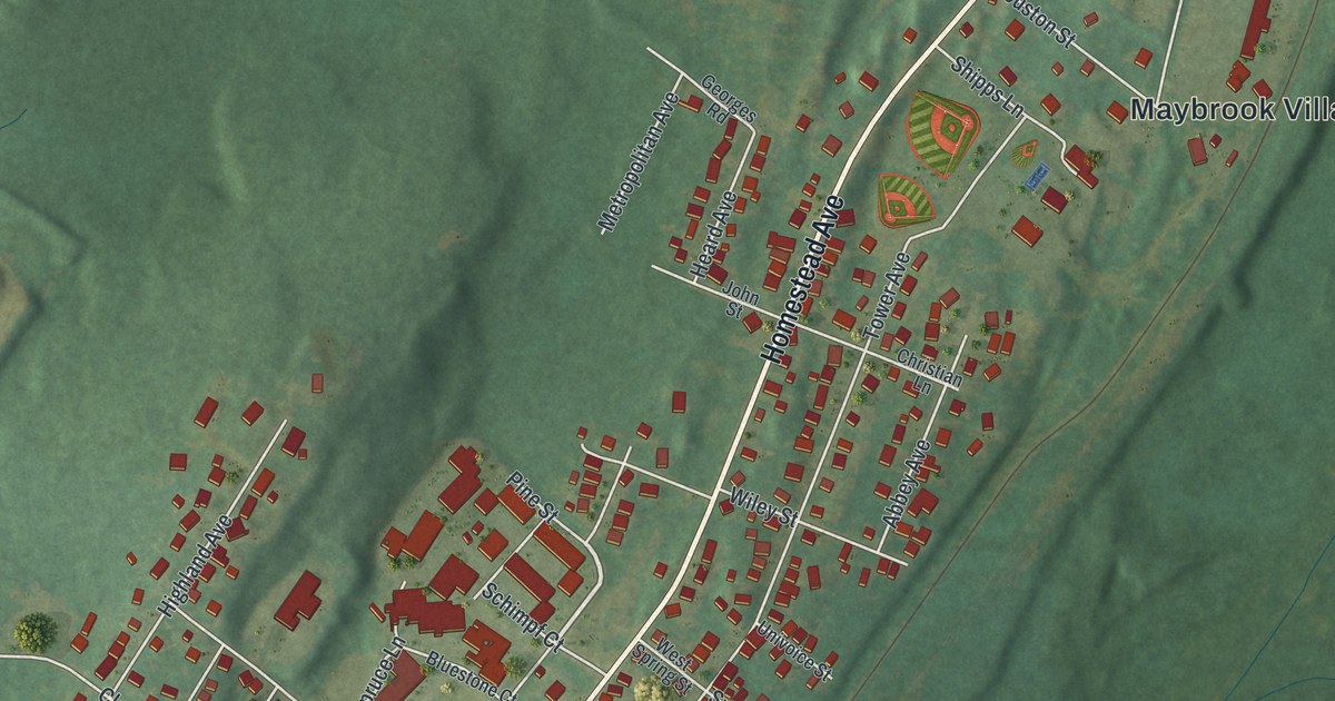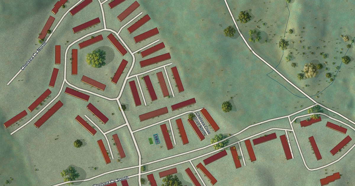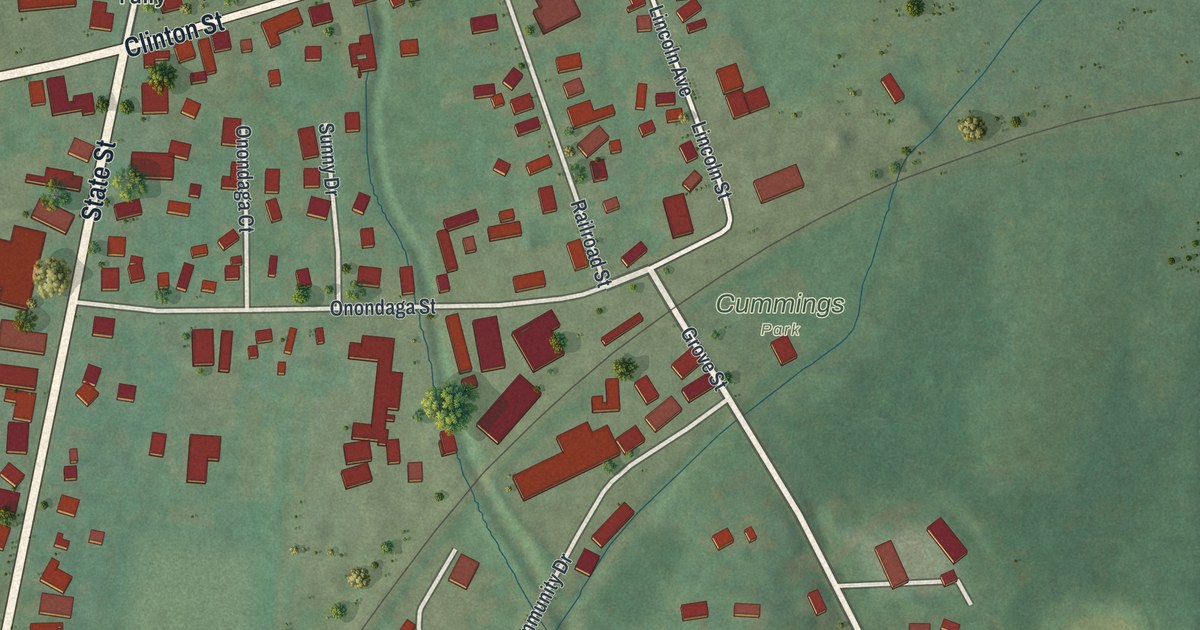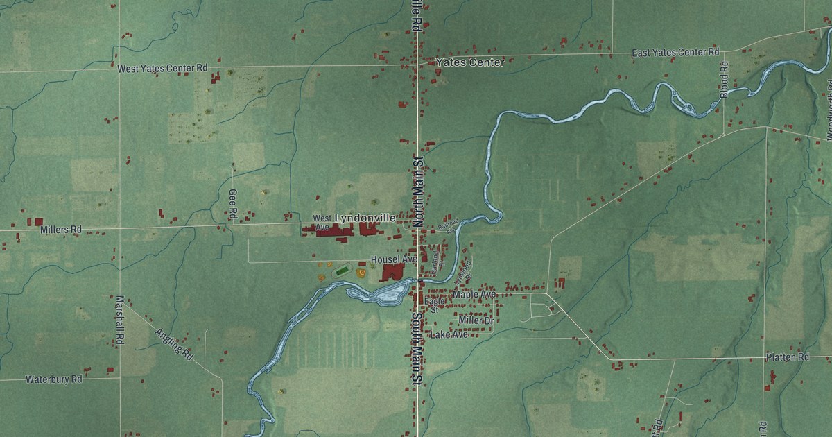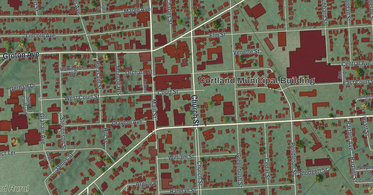
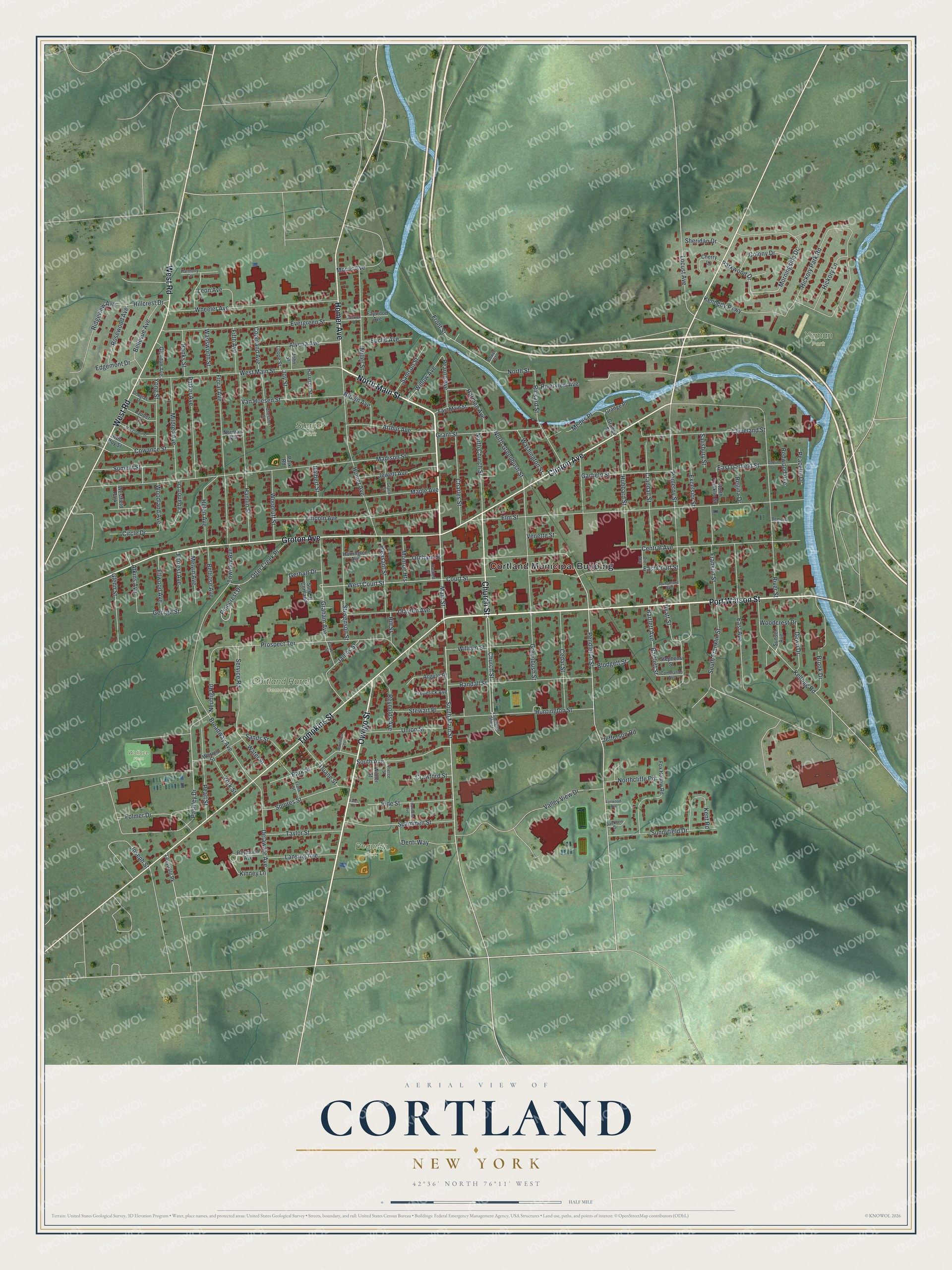
This beautifully detailed map of Cortland, New York was created in 2026 using aerial imagery combined with modern topographical, census, street and landmark data. It’s a one-of-a-kind view of Cortland that combines accurate data with a vintage aesthetic. The map shows every building in its true location, many of the roads carry their names, and the shaded topographic relief shows the shape of the land.
Explore an aerial view of Cortland, New York
On the map you’ll find Cortland Municipal Building, Cortland Rural Cemetery, Sugget Park, Yaman Park, and Beaudry Park, along with Main Street, Port Watson Street, Owego Street, Clinton Avenue, and more. If you look closely you can even find your house accurately drawn in its correct location. Zoom in on the preview to look for yours.
Did You Know?
Cortland honors Pierre Van Cortlandt, who served as New York’s first lieutenant governor. It is called the Crown City because it sits on a plain where seven valleys meet. The city seal shows a crown with seven points for those valleys. In 1900 Cortland became the 41st city in the state.
Take a closer look at the Cortland map
Names on this map
These names are printed on this map.
Places: Cortland Municipal Building, Cortland Rural Cemetery, Sugget Park, Yaman Park, Beaudry Park, Wallace Field and Westfield Park.
Streets and roads: North Main Street, Port Watson Street, Owego Street, Clinton Avenue, Church Street, Tompkins Street, Groton Avenue, West Road, Homer Avenue, South Main Street, Main Street, Pendleton Street.
More street names, A to Z
Alvena Avenue, Argyle Place, Arthur Avenue, Atkins Avenue, Banks Street, Bardmore Terrace, Bartlett Avenue, Bartlett Street, Bellevue Avenue, Bellrose Avenue, Bement Place, Blodgett Street, Bower Street, Broadway Avenue, Brook Drive, Brown Avenue, Calvert Street, Cannone Avenue, Cedar Street, Central Avenue, Charles Street, Cherry Lane, Chestnut Street, Circle Drive, Clayton Avenue, Cleveland Street, Colony Drive, Commando Avenue, Copeland Avenue, Court Street, Cowance Street, Crandall Street, Crawford Street, Dawn Drive, Delaware Avenue, Denti Way, Dio Way, Douglas Street, Duane Street, Dunsmore Avenue, East Avenue, East Court Street, East Garfield Street, East Main Street, Edgemont Drive, Ellwood Avenue, Elm Street, Euclid Avenue, Evergreen Street, Excelsior Street, Faywood Avenue, Fifth Avenue, Floral Avenue, Folmer Drive, Forrest Avenue, Fox Hollow Road, Franklin Street, Frank Street, Frederick Avenue, Front Street, Garfield Street, George Street, Gerhart Drive, Glenn Street, Glyndon Avenue, Grace Street, Graham Avenue, Grange Place, Grange Street, Grant Street, Greenbush Street, Halbert Street, Hamlin Street, Harmon Avenue, Harmony Circle, Harrington Avenue, Harrison Street, Haskell Place, Helen Avenue, Hickory Lane, Hickory Park Road, Hillcrest Drive, Hill Street, Hubbard Street, Huntington Street, Hyatt Street, Jackson Drive, James Street, Jefferson Road, Jewett Avenue, John Street, Joseph Street, Joy Street, Kellogg Road, Kennedy Parkway, Kent Road, Kinney Lane, Lansing Avenue, Lauder Street, Lebanon Drive, Leon Avenue, Levydale Pk, Lincoln Avenue, Locust Avenue, Loope Street, Lynwood Avenue, Macgregor Street, Madison Street, Maple Avenue, Medes Place, Melvin Avenue, Mildred Avenue, Miller Street, Monroe Heights, Morningside Drive, Morris Avenue, Neubig Road, Norma's Way, North Church Street, Northcliffe Road, North Franklin Street, North Greenbush Street, North Street, Oaklin Drive, Orchard Street, Otter Creek Place, Parker Avenue, Park Road, Park Street, Parkwood Drive, Pashley Drive, Peaceful Drive, Pearl Street, Pearne Avenue, Pierce Street, Pinecrest Drive, Pine Street, Pleasant Street, Pomeroy Street, Prospect Terrace, Randall Street, Raymond Avenue, Redwood Avenue, Regina Drive, Reynolds Avenue, Rickard Street, Ridgeview Avenue, River Street, Riverview Avenue, Rob Roy Street, Rosewood Avenue, Salisbury Street, Samson Street, Sands Street, Scammell Street, Service Road, Sheridan Drive, South Avenue, South Franklin Street, Squires Street, Stephens Street, Stevenson Street, Stewart Place, Stockton Place, Summit Street, Sunnyfield Drive, Sunset Avenue, Suny at Cortland, Taylor Street, Townley Avenue, Union Street, Valley View Drive, Van Hoesen Street, Venette Street, Wadsworth Street, Warren Street, Washington Street, Water Street, West Court Street, West Main Street, Wheeler Avenue, William Street, Willow Avenue, Winter Street, Woodcrest Drive, Woodland Avenue, Woodruff Street, Yates Place, Yong Street, York Street.
See it on a wall
The Cortland map as a framed print. Swipe for more.


This beautifully detailed map of Cortland makes an attractive addition to your office, library, or den, and it can even be used to teach children the geography and history of the area. It also makes a great gift for anyone who grew up in Cortland or moved away. When you’re done exploring, click here to get your copy of the Cortland map.