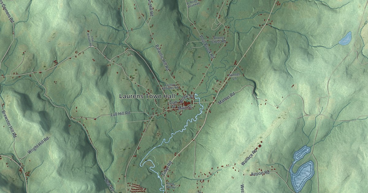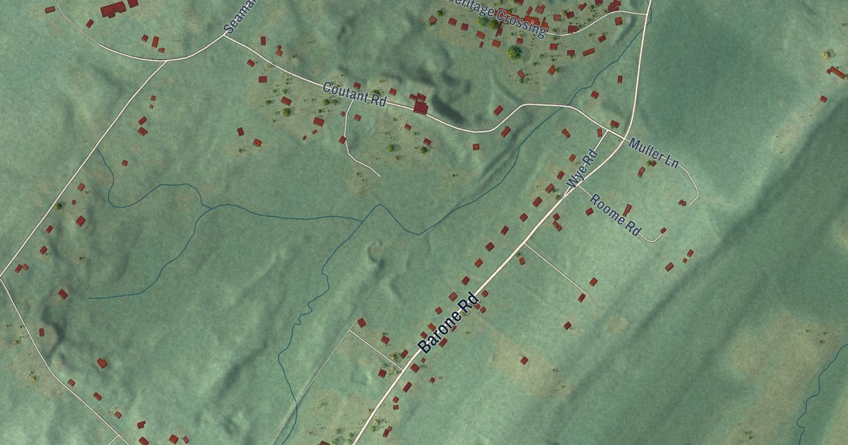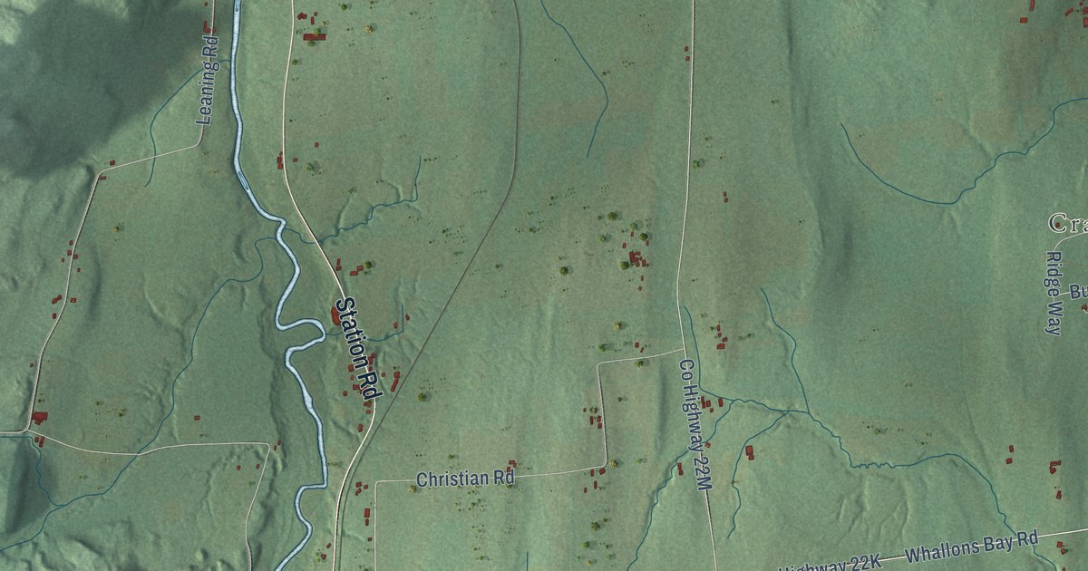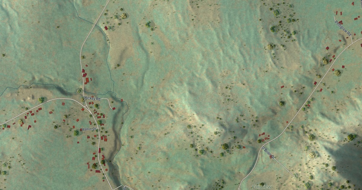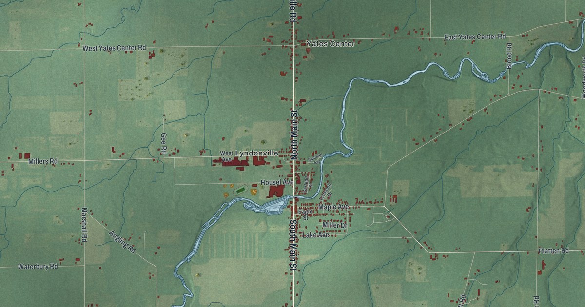
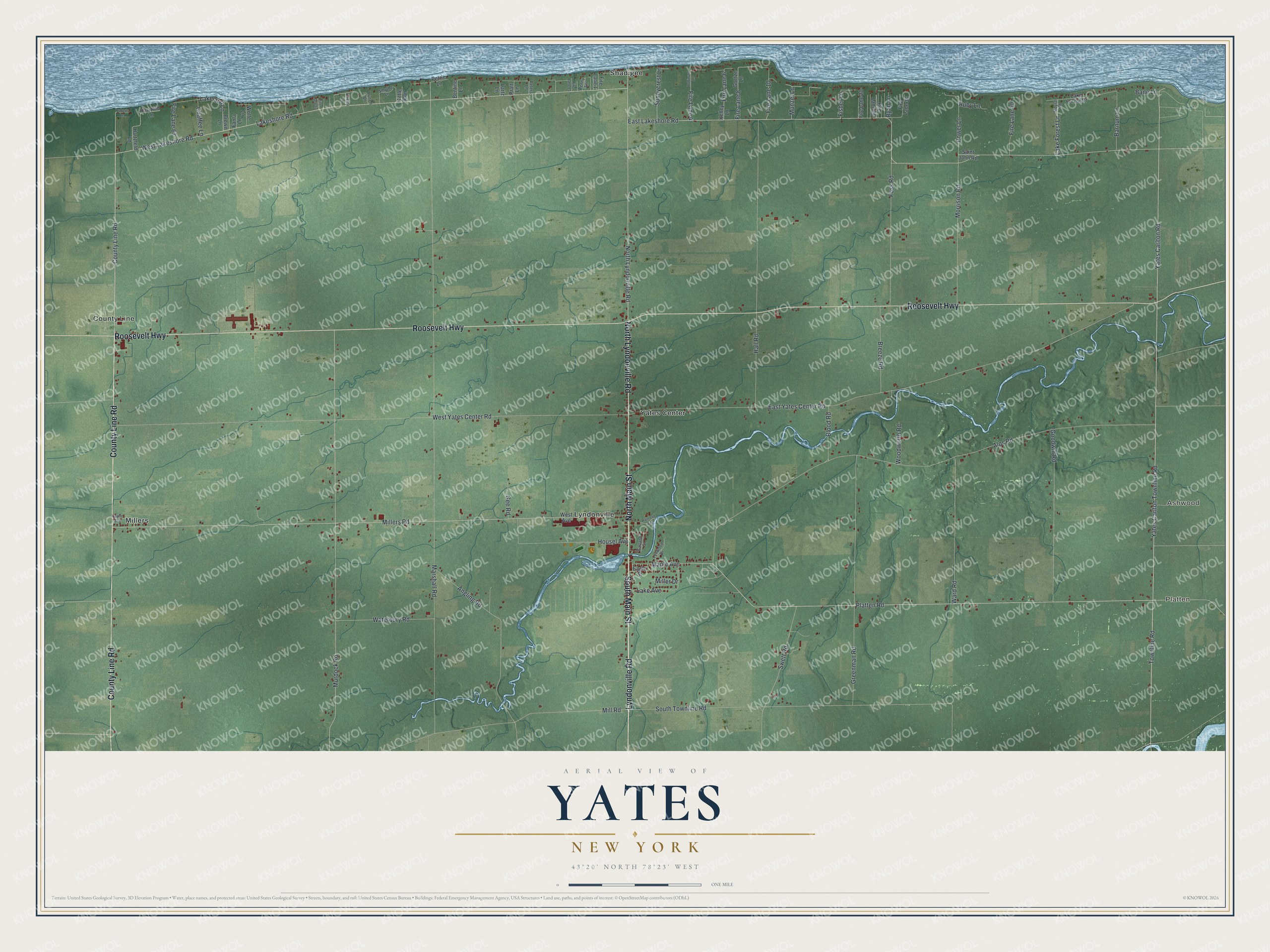
This beautifully detailed map of Yates, New York was created in 2026 using aerial imagery combined with modern topographical, census, street and landmark data. It’s a one-of-a-kind view of Yates that combines accurate data with a vintage aesthetic. The map shows every building in its true location, many of the roads carry their names, and the shaded topographic relief shows the shape of the land.
Explore an aerial view of Yates, New York
On the map you’ll find Platten, Ashwood, County Line, Lyndonville, and Millers, along with Lyndonville Road, Main Street, Roosevelt Highway, Maple Avenue, Yates Carlton Townline Road, and more. If you look closely you can even find your house accurately drawn in its correct location. Zoom in on the preview to look for yours.
Did You Know?
The town of Yates was named for Joseph C. Yates, who served as governor of New York. George Houseman became the first settler around 1809. The town split off from Ridgeway in 1822 and briefly carried the name Northton.
Take a closer look at the Yates map
Names on this map
These names are printed on this map.
Places: Platten, Ashwood, County Line, Lyndonville, Millers, Shadigee and Yates Center.
Streets and roads: Lyndonville Road, South Main Street, Roosevelt Highway, County Line Road, North Lyndonville Road, North Main Street, Maple Avenue, Yates Carlton Townline Road, Yates Carlton Road, Lakeshore Road, West Lakeshore Road, East Lakeshore Road.
More street names, A to Z
Alps Road, Angling Road, Bane Lane, Barnum Lane, Bentine Lane, Blood Road, Breeze Road, Brown Lane, Chaffee Lane, Eagle Street, East Yates Center Road, Fanta Lane, Fire Lane 1, Fire Lane 4, Fire Lane 6, Fire Lane 8, Fire Lane 10, Fire Lane 13, Fire Lane 20, Fire Lane 26, Fire Lane 36, Fire Lane 40, Fire Lane 53, Fire Lane 67, Fisher Lane, Foss Road, Garland Street, Gee Road, Goetze Lane, Goodwin Road, Greenman Road, Hall Road, Hartzfeld Lane, Hartzfild Lane, Housel Avenue, Kelley Lane, Kittle Run, Lake Avenue, Lake Forest Drive, Lake Forest Lane, Lakeland Lane, Lartz Lane, Lynwood Drive, Marshall Road, Miller Drive, Millers Road, Mill Road, Morrison Road, Moyse Road, Munzel Lane, Murdock Road, Payne Avenue, Penny Lane, Peters Lane, Petrie Lane, Platten Road, Power Lane, Pratt Lane, Punch Lane, Railroad Avenue, Roberts Lane, Robinson Lane, Ruby Lane, Ryan Lane, Saint John Road, Smythe Lane, South Townline Road, Sunnycrest Lane, Swett Road, Townline Road, Ward Road, Waterbury Road, West Avenue, West Yates Center Road, Wolfe Lane, Woodworth Road, Yaxley Lane.
See it on a wall
The Yates map as a framed print. Swipe for more.


This beautifully detailed map of Yates makes an attractive addition to your office, library, or den, and it can even be used to teach children the geography and history of the area. It also makes a great gift for anyone who grew up in Yates or moved away. When you’re done exploring, click here to get your copy of the Yates map.