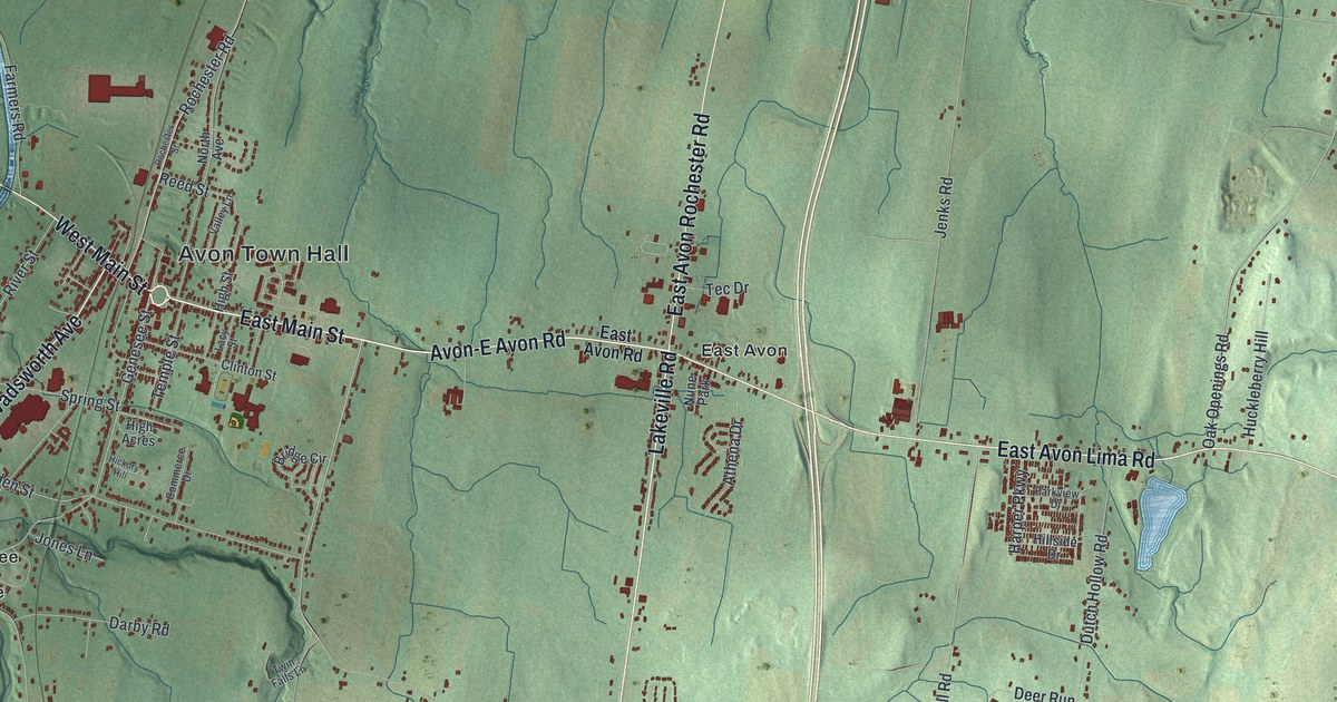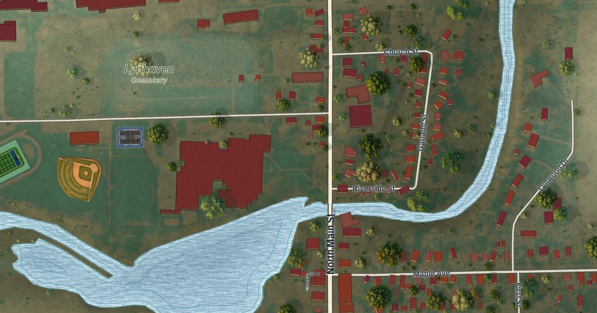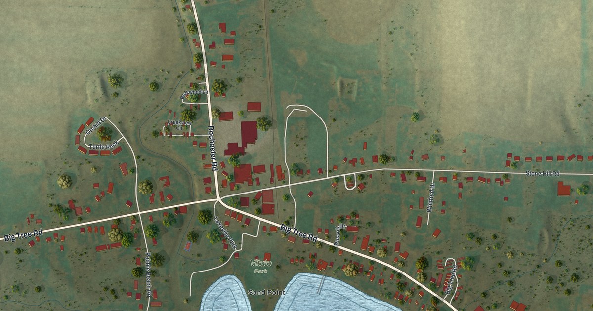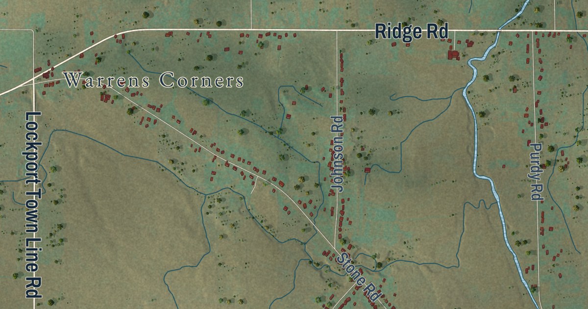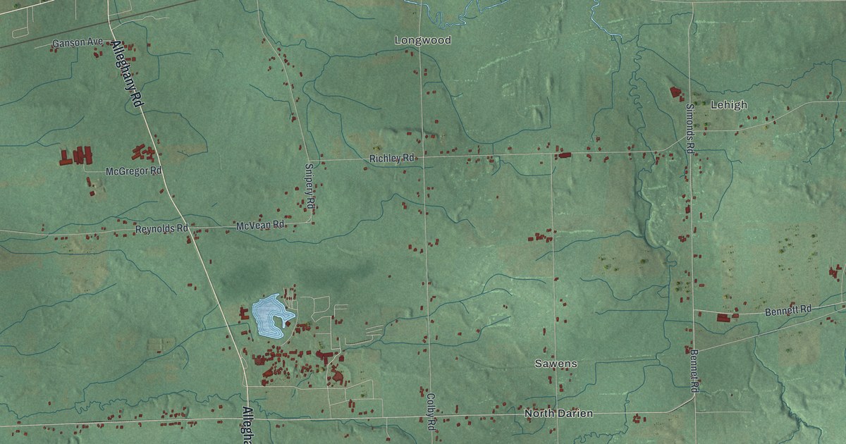
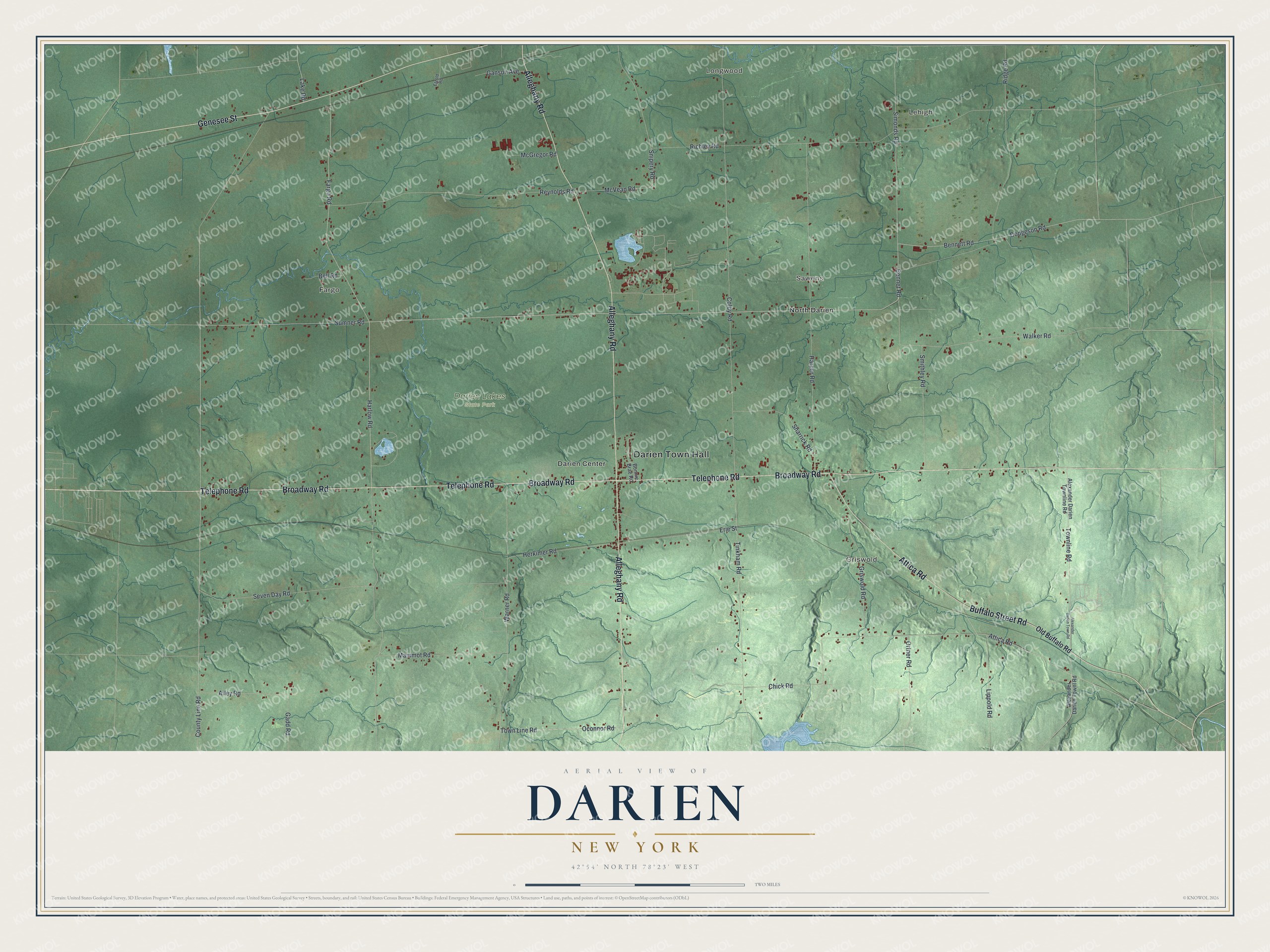
This beautifully detailed map of Darien, New York was created in 2026 using aerial imagery combined with modern topographical, census, street and landmark data. It’s a one-of-a-kind view of Darien that combines accurate data with a vintage aesthetic. The map shows every building in its true location, many of the roads carry their names, and the shaded topographic relief shows the shape of the land.
Explore an aerial view of Darien, New York
On the map you’ll find Darien Town Hall, Lehigh, Longwood, Fargo, Griswold, Sawens, and Darien Lakes State Park, along with Buffalo Street Road, Genesee Street, Broadway Road, Telephone Road, and more. If you look closely you can even find your house accurately drawn in its correct location. Zoom in on the preview to look for yours.
Did You Know?
The Seneca people called this area the turkey place. Europeans settled here around 1803 and first knew it as South Pembroke. In 1832 the southern part of Pembroke became the separate town of Darien. Its early farms sent food to nearby cities such as Buffalo.
Take a closer look at the Darien map
Names on this map
These names are printed on this map.
Places: Darien Town Hall, Lehigh, Longwood, Fargo, Griswold, Sawens, Darien Lakes State Park, Darien Center and North Darien.
Streets and roads: Buffalo Street Road, Genesee Street, Broadway Road, Telephone Road, Alleghany Road, Attica Road, Simonds Road, Walker Road, Bennet Road, Bennett Road, Sumner Road, Harlow Road.
More street names, A to Z
Alexander Darien Townline Road, Alexander Darien Townl Road, Alexander Darien Town Road, Alley Road, Bell Road, Bonnie Brae Road, Chick Road, Colby Road, County Line Road, Dodgeson Road, Erie Street, Etzold Road, Fargo Road, Gadd Road, Ganson Avenue, Griswold Road, Harper Road, Herkimer Road, Lake Road, Lippold Road, Mammot Road, McGregor Road, McVean Road, Oconnor Road, Old Buffalo Road, Ortner Road, Reynolds Road, Richley Road, Ridge Road, Seven Day Road, Sharrick Road, Smithley Road, Snipery Road, Tinkham Road, Town Line Road, Townline Road, Warner Road.
See it on a wall
The Darien map as a framed print. Swipe for more.


This beautifully detailed map of Darien makes an attractive addition to your office, library, or den, and it can even be used to teach children the geography and history of the area. It also makes a great gift for anyone with Darien roots. When you’re done exploring, click here to get your copy of the Darien map.