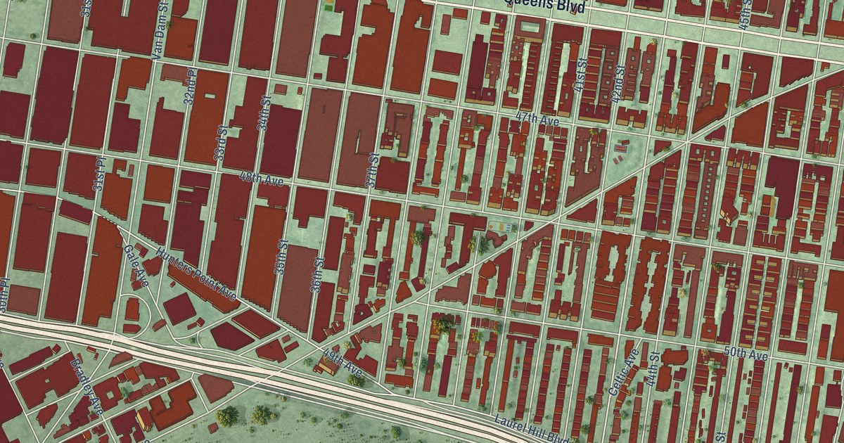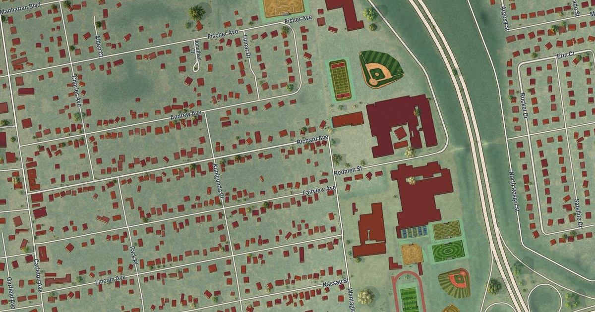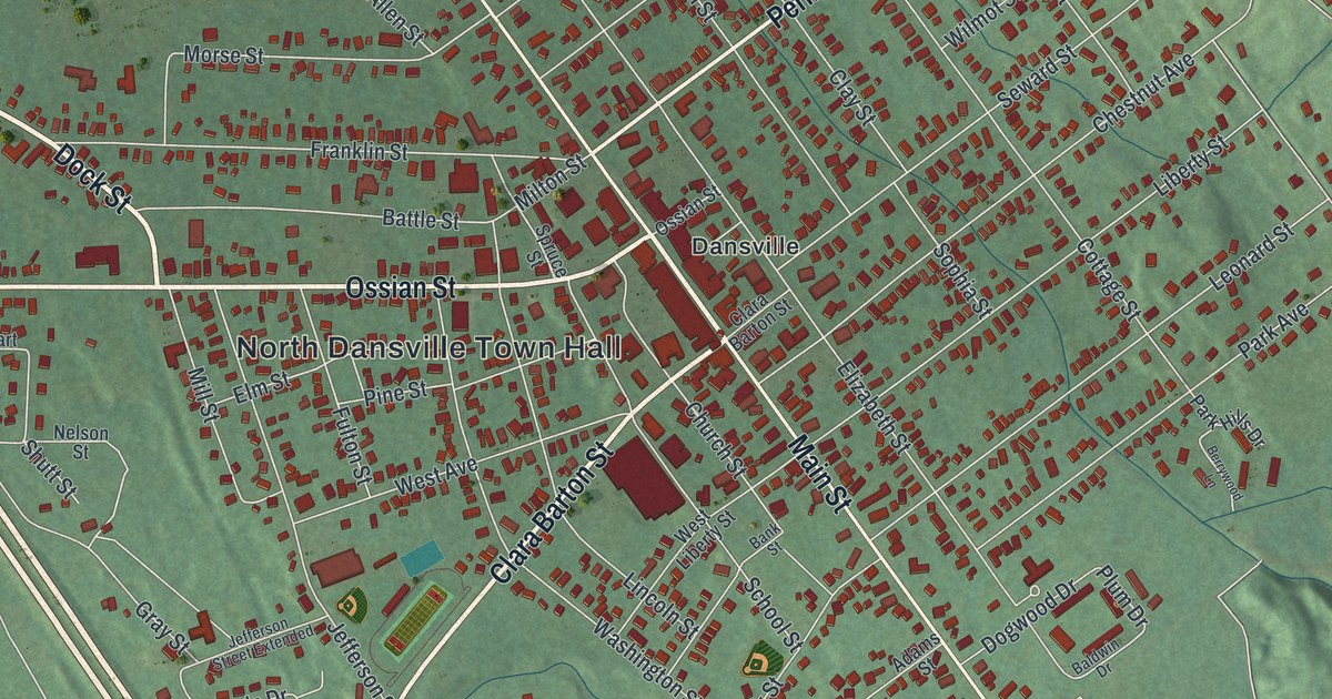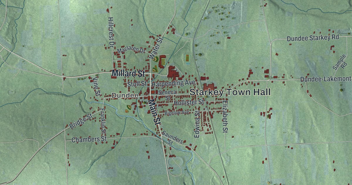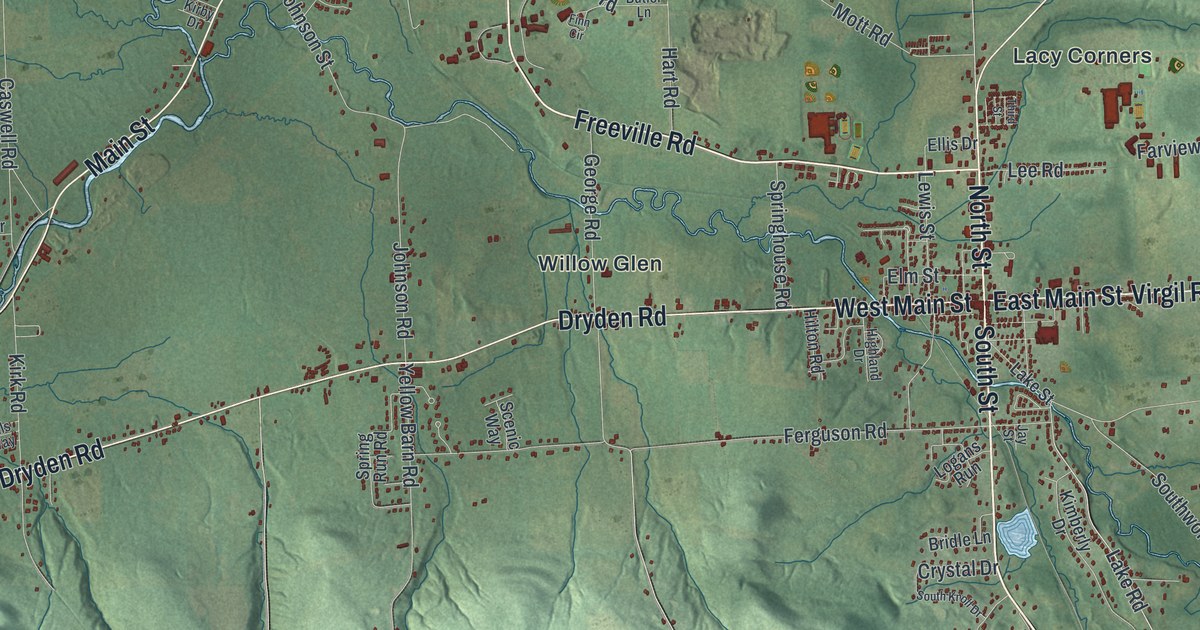
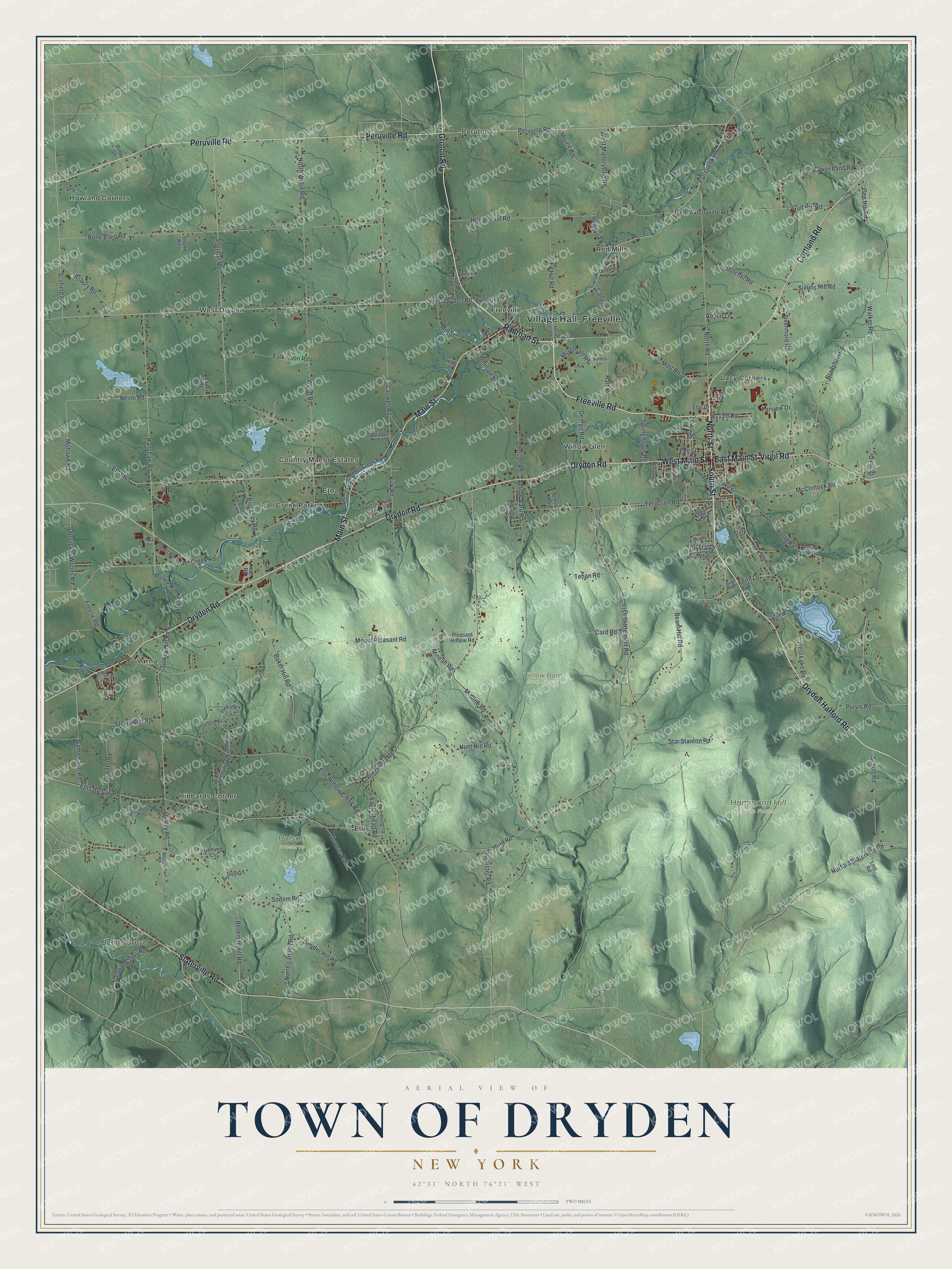
This beautifully detailed map of the Town of Dryden, New York was created in 2026 using aerial imagery combined with modern topographical, census, street and landmark data. It’s a one-of-a-kind view of the Town of Dryden that combines accurate data with a vintage aesthetic. The map shows every building in its true location, many of the roads carry their names, and the shaded topographic relief shows the shape of the land.
Explore an aerial view of the Town of Dryden, New York
On the map you’ll find Village Hall Freeville, Bethel Grove, Ellis, Etna, Fall Creek Parke, Freeville, Hammond Hill State Forest, Polson Preserve, and Yellow Barn State Forest, along with Dryden Harford Road, Groton Road, South Street, North Street, and more. If you look closely you can even find your house accurately drawn in its correct location. Zoom in on the preview to look for yours.
Did You Know?
Dryden is named for John Dryden, the English poet who translated Virgil and other classics. Robert Harpur, a clerk for the state Surveyor General, picked the name in 1790. He drew many Military Tract names from his own classical studies. That land was set aside for soldiers of the American Revolution.
Take a closer look at the Town of Dryden map
Names on this map
These names are printed on this map.
Places: Bethel Grove, Hammond Hill State Forest, Polson Preserve, Yellow Barn State Forest, Country Manor Estates, Ellis, Etna, Fall Creek Parke, Freeville, Hibbards Corner, Howland Corners, Lacy Corners, Peruton, Red Mills, Varna, West Dryden and Willow Glen.
Streets and roads: Dryden Harford Road, Groton Road, South Street, North Street, Railroad Street, Dryden Road, West Main Street, Cortland Road, Freeville Road, Virgil Road, East Main Street, Peruville Road.
More street names, A to Z
Abbott Road, Annee Lane, Asbury Road, Bailey Drive, Baker Hill Road, Beam Hill Road, Bell Lane, Besemer Hill Road, Bills Way, Bone Plain Road, Bradshaw Road, Bridle Lane, Brooklyn Road, Butler Lane, Cady Lane, Card Road, Caswell Road, Chaffee Road, Cobb Street, Cook Street, Cricket Lane, Crystal Drive, Deibler Drive, Delta Street, Dodge Road, Dug Road, Dutcher Road, Eagleshead Road, East Malloryville Road, Ed Hill Road, Ellis Drive, Ellis Hollow Creek Road, Ellis Hollow Road, Elm Street, Etna Lane, Etna Road, Fall Creek Road, Farview Drive, Ferguson Road, Finn Circle, Forest Home Drive, Freese Road, Fulkerson Road, Game Farm Road, Gee Hill Road, Genung Circle, Genung Road, George Road, German Cross Road, Graduate Drive, Groton Avenue, Gulf Hill Road, Hall Road, Hanshaw Road, Harford Slaterville Road, Hart Road, Herman Road, Hickory Circle, Hickory Road, Highland Drive, Hile School Road, Hilton Road, Hollister Road, Hungerford Road, Hunter Lane, Hunt Hill Road, Hurd Road, Irish Settlement Road, Jay Street, Johnson Road, Johnson Street, Keith Lane, Kimberly Drive, Kirby Drive, Kirk Road, Lake Road, Lake Street, Lee Road, Leisure Lane, Lewis Street, Livermore Road, Logans Run, Lost Road, Lower Creek Road, Main Street, Mary Lane, McClintock Road, McDonald Road, Midline Road, Mill Street, Mineah Road, Mohawk Road, Monkey Run Road, Morris Road, Mott Road, Mount Pleasant Road, Neimi Road, North Landon Road, North Road, North Wood Road, Old Dryden Road, Orion Drive, Palmear Road, Pinckney Road, Pleasant Hollow Road, Purvis Road, Quarry Road, Red Mill Road, Redwood Lane, Ringwood Road, Royal Road, Sapsucker Woods Road, Scenic Way, Schutt Road, Scofield Road, Sheldon Road, Shore Drive, Short Road, Simms Hill Road, Slaterville Road, Snyder Hill Road, Sodom Road, South Knoll Drive, Southworth Road, Springhouse Road, Spring Run Road, Star Stanton Road, Stevenson Road, Sundown Road, Sunny Slope Road, Sunset West Circle, Sweetland Road, Tehan Road, Third Street, Thomas Road, Turkey Hill Road, Upper Creek Road, Walden Lane, Walker Road, West Dryden Road, West Lake Road, West Malloryville Road, Whitted Road, Wood Road, Yellow Barn Road.
See it on a wall
The Dryden map as a framed print. Swipe for more.


This beautifully detailed map of the Town of Dryden makes an attractive addition to your office, library, or den, and it can even be used to teach children the geography and history of the area. It also makes a great gift for someone who left the Town of Dryden and still calls it home. When you’re done exploring, click here to get your copy of the Town of Dryden map.