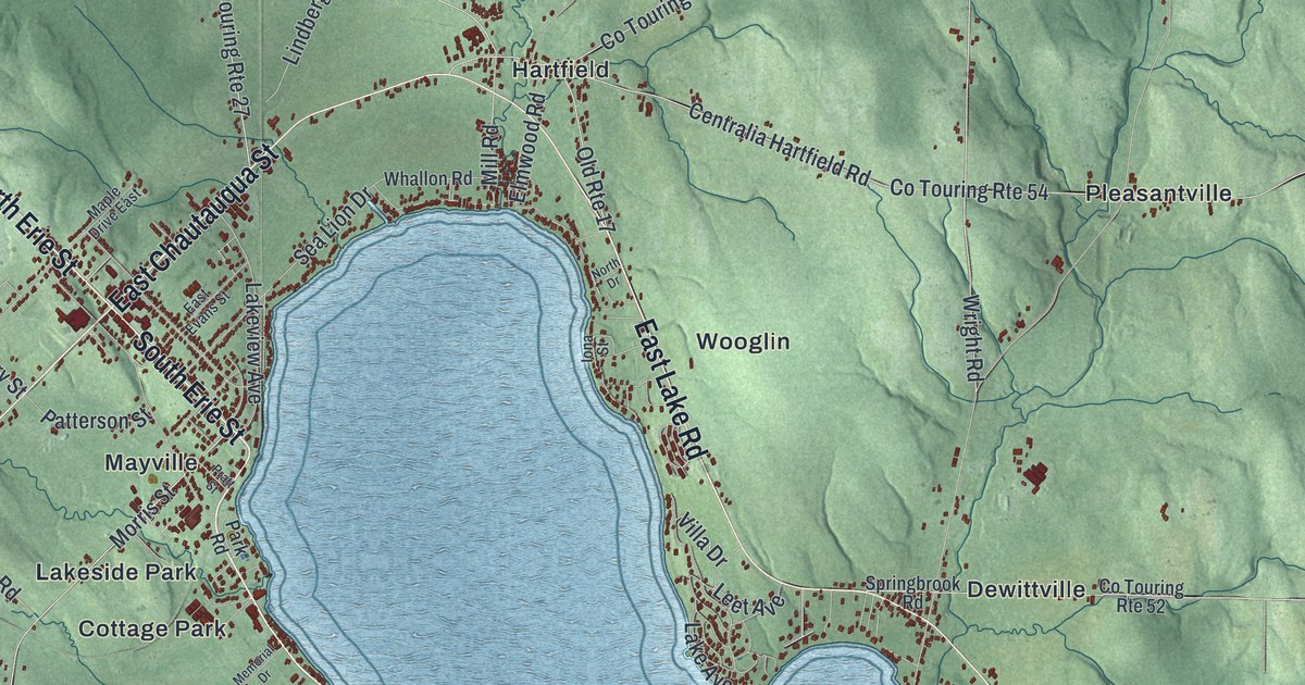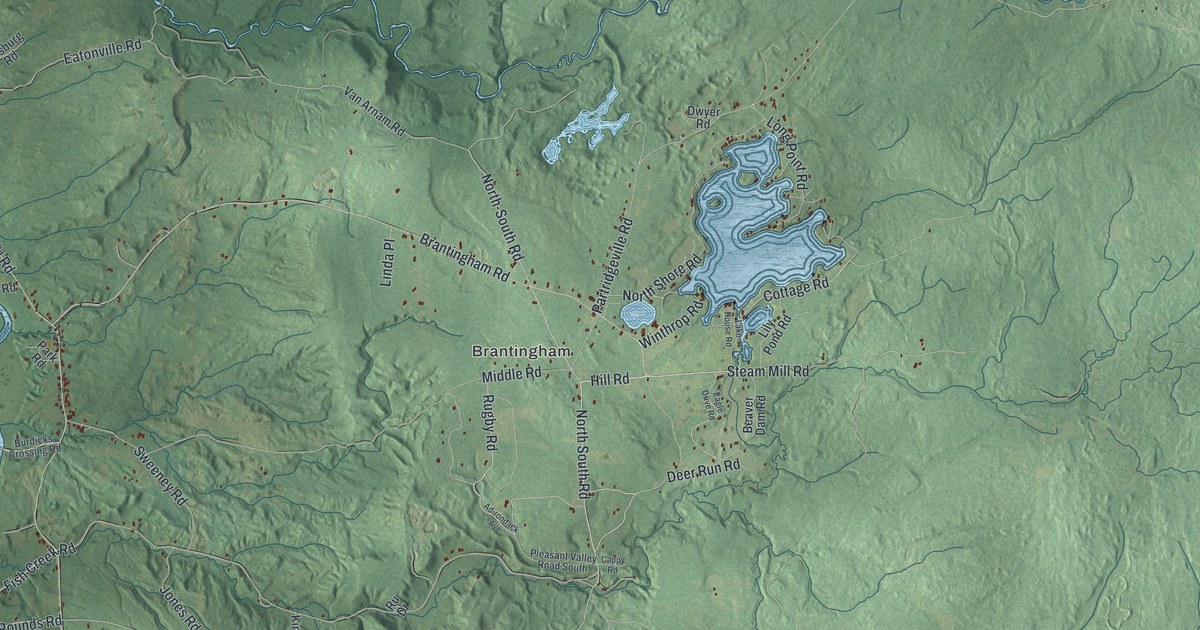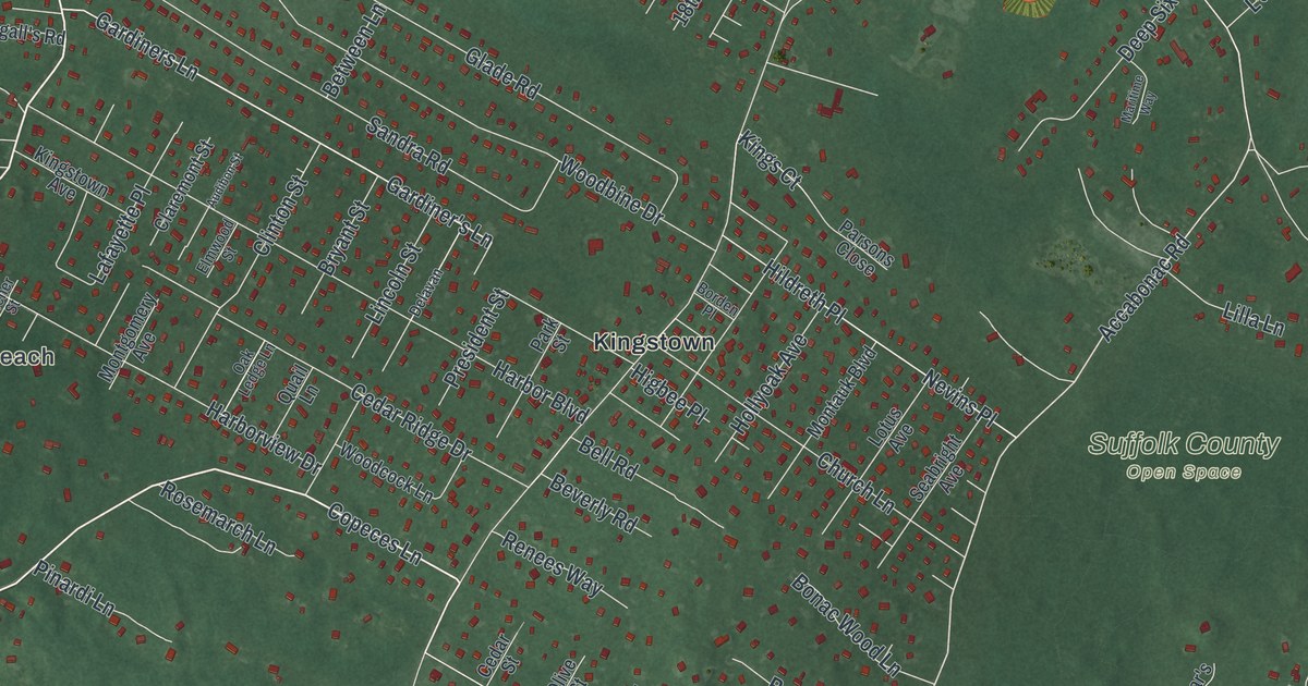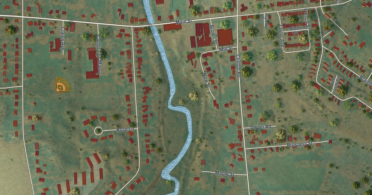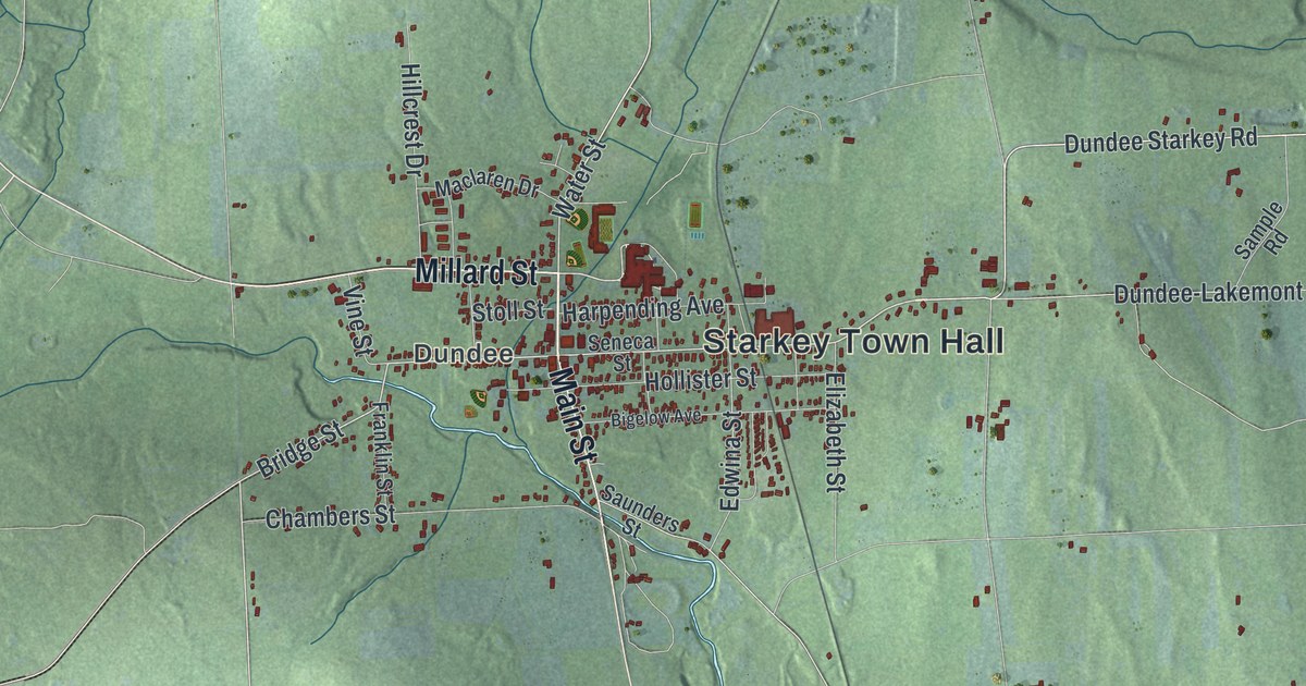
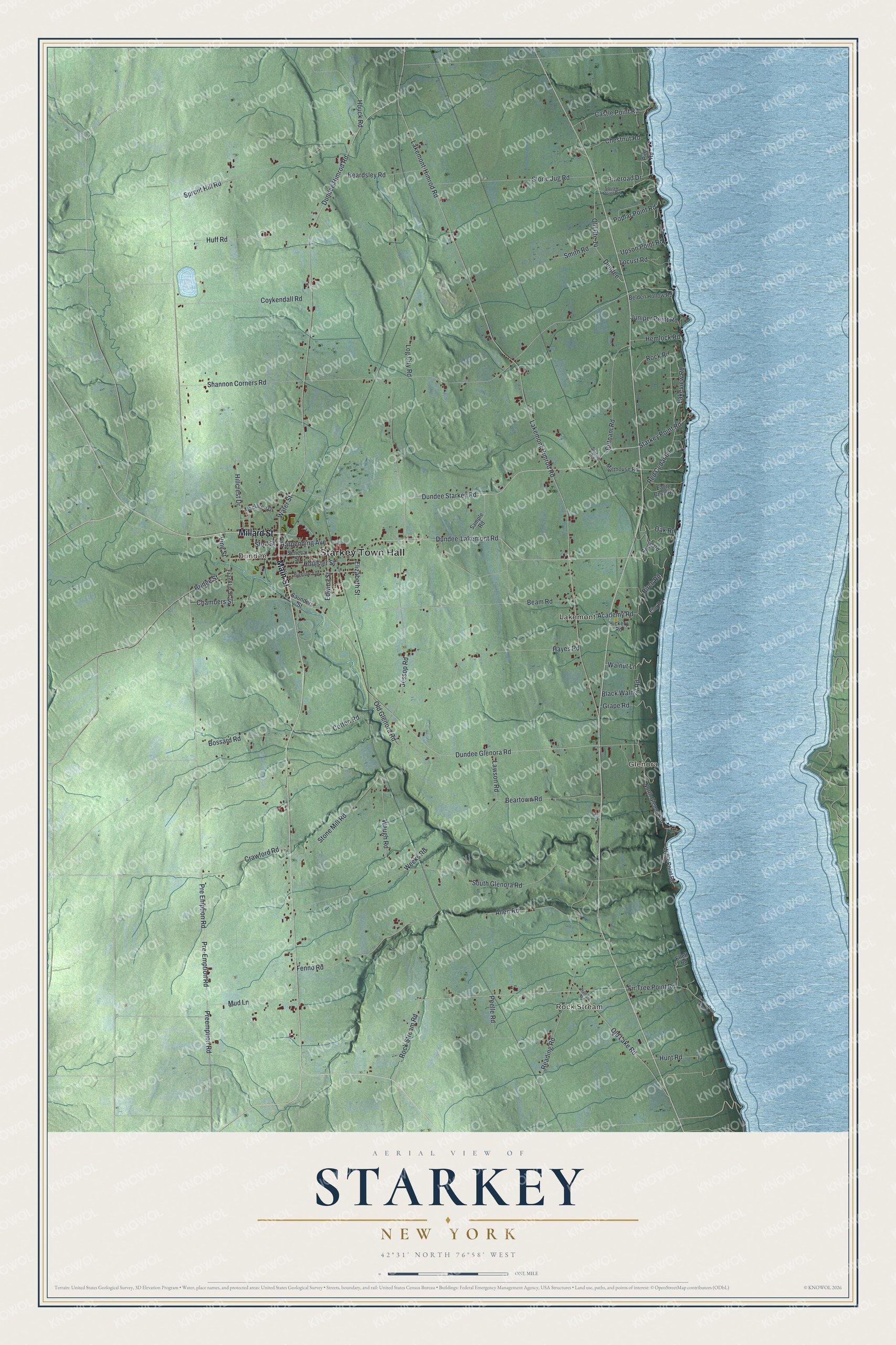
This beautifully detailed map of Starkey, New York was created in 2026 using aerial imagery combined with modern topographical, census, street and landmark data. It’s a one-of-a-kind view of Starkey that combines accurate data with a vintage aesthetic. The map shows every building in its true location, many of the roads carry their names, and the shaded topographic relief shows the shape of the land.
Explore an aerial view of Starkey, New York
On the map you’ll find Starkey Town Hall, Rock Stream, Glenora, Dundee, and Lakemont, along with Millard Street, Main Street, Pre Emption Road, Bridge Street, and more. If you look closely you can even find your house accurately drawn in its correct location. Zoom in on the preview to look for yours.
Did You Know?
Scouts from the Sullivan Expedition came through in 1779. North of Glenora they found a cabin with people living in it. Starkey was formed in 1824 from the town of Reading. It joined Yates County one year after that county was created.
Take a closer look at the Starkey map
Names on this map
These names are printed on this map.
Places: Starkey Town Hall, Rock Stream, Glenora, Dundee and Lakemont.
Streets and roads: Millard Street, Main Street, Pre Emption Road, Bridge Street, Dundee Starkey Road, Starkey Point Road, Water Street, Pre-Emption Road, Preemption Road, Dundee Himrod Road, Lakemont-Himrod Road, Dundee Glenora Road.
More street names, A to Z
Academy Road, Allen Road, Apple Road, Beam Road, Beardsley Road, Beartown Road, Belden Hollow Road, Bigelow Avenue, Birch Road, Black Walnut Road, Bossard Road, Castle Point Road, Chambers Street, Chestnut Road, Cotton Road, Coykendall Road, Crawford Road, Dundee-Lakemont Road, Eagle Cove Road, Edwina Street, Elizabeth Street, Ellett Road, Elm Road, Fenno Road, Fir Tree Point Extended, Fir Tree Point Road, Franklin Street, Grape Road, Harpending Avenue, Hatfield Road, Hayes Road, Hemlock Road, Hickery Road, Hillcrest Drive, Hollister Street, Houck Road, Huff Road, Hunt Road, Jessop Road, Juniper Point Road, Lakemont Himrod Road, Lakeview Road, Lawson Road, Locust Road, Log City Road, Maclaren Drive, Malthouse Road, Mud Lane, North Glenora Road, Oak Road, Old Glenora Road, Old Lake Road, Old Route 14, Peelle Road, Pine Road, Pineroad Drive, Poplar Point Road, Putnam Road, Reading Road, Red Cedar Lane, Rock Road, Rock Stream Road, Sample Road, Saunders Street, Seneca Street, Shannon Corners Road, Smith Road, South Glenora Road, Sprout Hill Road, Station Road, Stoll Street, Stone Jug Road, Stone Mill Road, Upson Point Road, Vine Street, Walnut Lane, Waugh Road, Weeks Road, Willis Point Road.
See it on a wall
The Starkey map as a framed print. Swipe for more.


This beautifully detailed map of Starkey makes an attractive addition to your office, library, or den, and it can even be used to teach children the geography and history of the area. It also makes a great gift for someone who left Starkey and still calls it home. When you’re done exploring, click here to get your copy of the Starkey map.