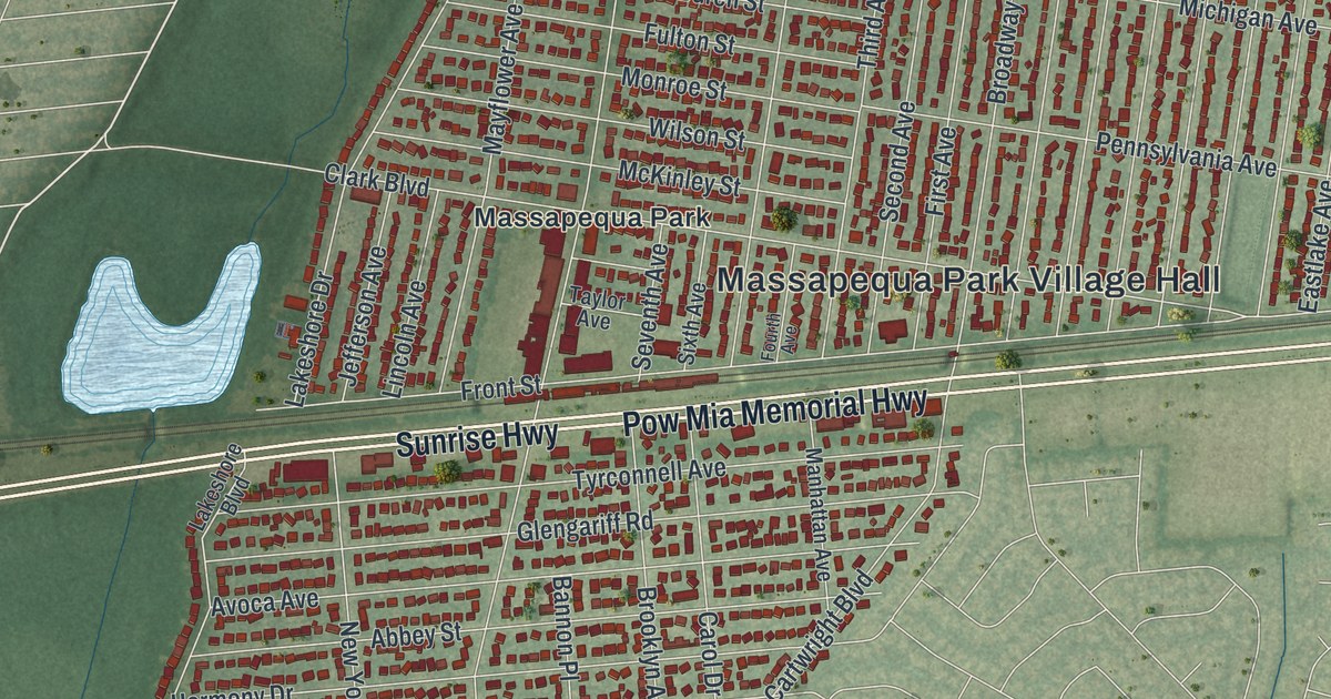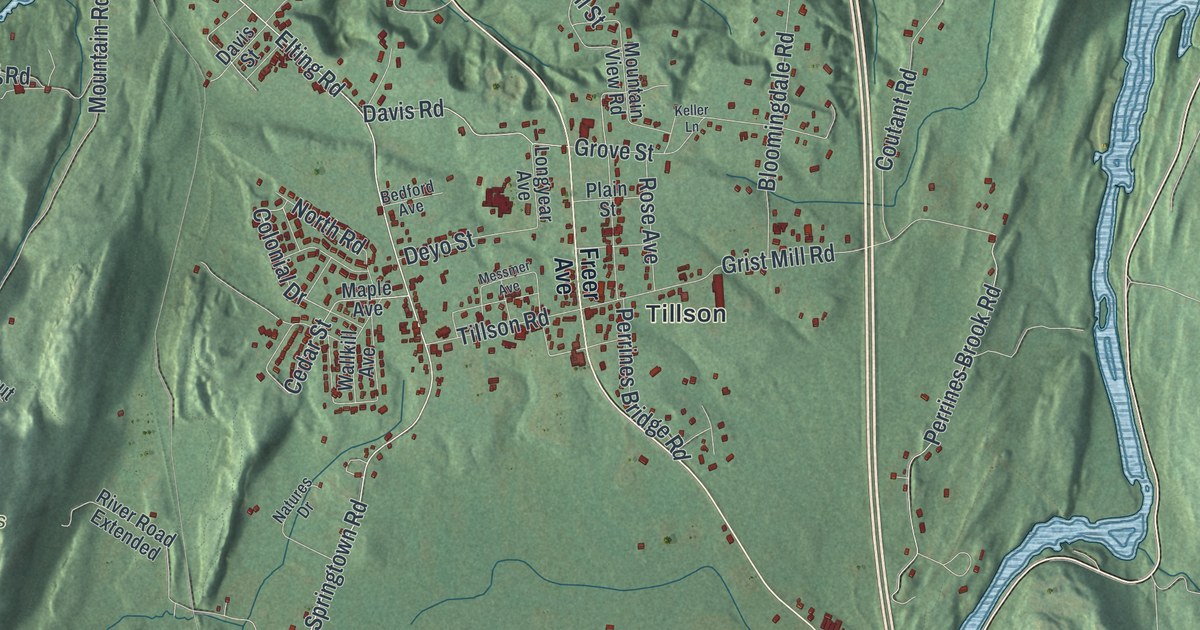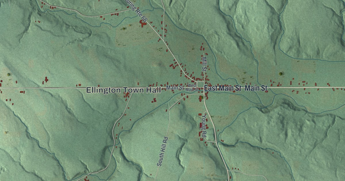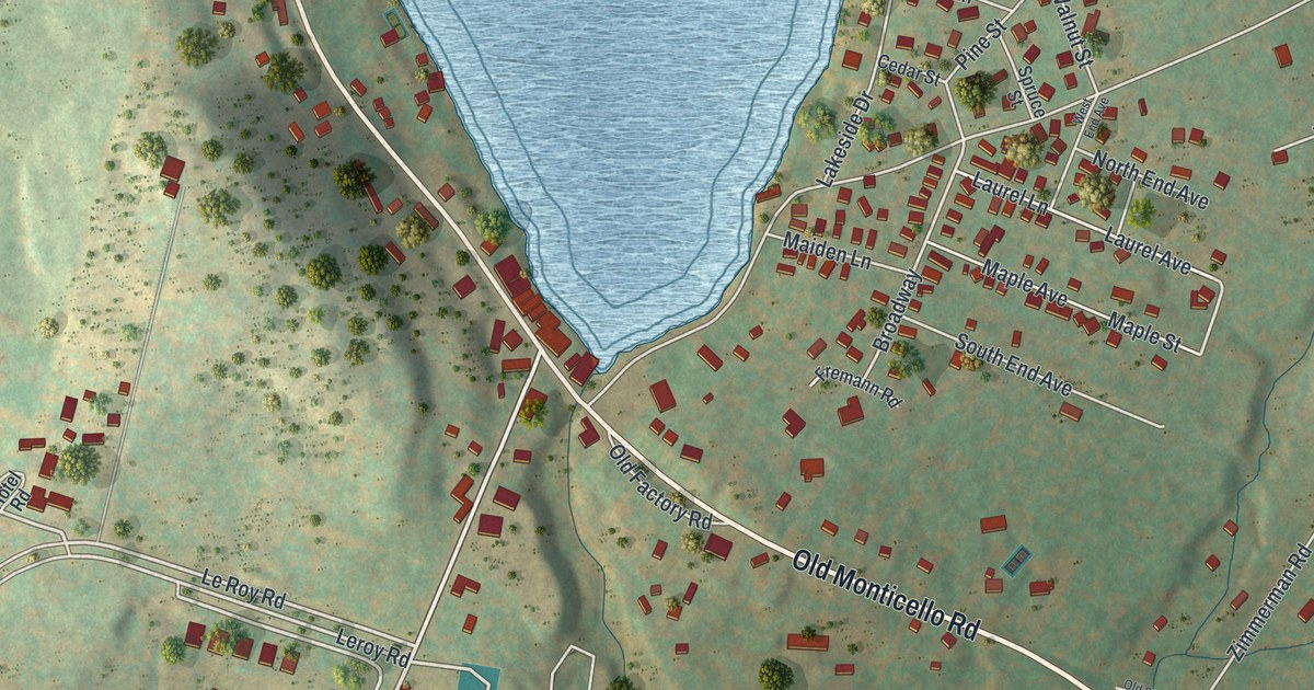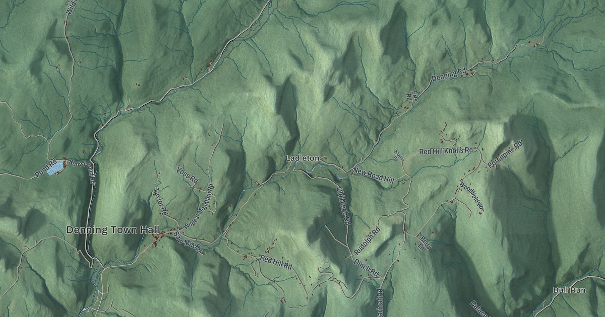
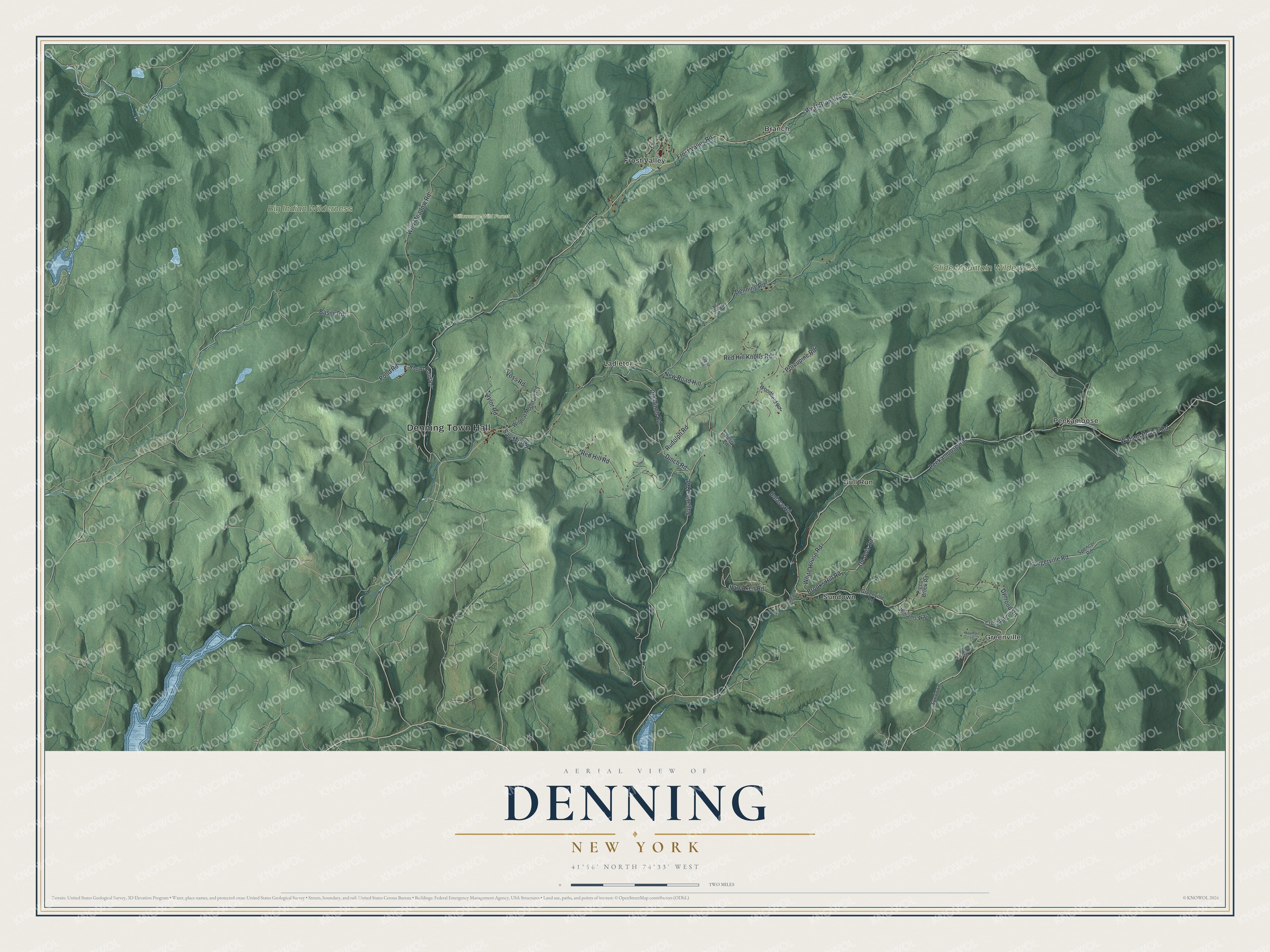
This beautifully detailed map of Denning, New York was created in 2026 using aerial imagery combined with modern topographical, census, street and landmark data. It’s a one-of-a-kind view of Denning that combines accurate data with a vintage aesthetic. The map shows every building in its true location, many of the roads carry their names, and the shaded topographic relief shows the shape of the land.
Explore an aerial view of Denning, New York
On the map you’ll find Denning Town Hall, Branch, Bull Run, Frost Valley, Greenville, Ladleton, and Willowemoc Wild Forest, along with Branch Road, Yaegerville Road, Pond Road, Dinch Road, and more. If you look closely you can even find your house accurately drawn in its correct location. Zoom in on the preview to look for yours.
Did You Know?
In 1708 Johannes Hardenburgh received a huge land grant called the Hardenburgh Patent, and this region lay inside it. Much later, William H. Denning bought a tract here at a tax sale. The settlement took his name. Denning became its own town in 1849, formed from part of Shandaken.
Take a closer look at the Denning map
Names on this map
These names are printed on this map.
Places: Denning Town Hall, Big Indian Wilderness, Slide Mountain Wilderness, Willowemoc Wild Forest, Branch, Bull Run, Frost Valley, Greenville, Ladleton, Peekamoose and Sundown.
Streets and roads: Frost Valley Road, West Branch Road, Yaegerville Road, Pond Road, Dinch Road, Red Hill Road, New Road Hill, Sugarloaf Road, Peekamoose Road, Denning Road, Wild Meadow Road, Basily Road.
More street names, A to Z
Balace Road, Berry Lane, Brooks Hill Road, Cross Road, Du Bois Road, Dymond Road, Erts Road, Eve-Eden Road, Greenville Road, Kawlija Road, Mountain Lane, Old Dinch Road, Pigeon Brook Road, Porcupine Road, Red Hill Knolls Road, Round Pond Road, Rudolph Road, Saw Mill Road, Spencer Road, Sundown Road, Taylor Road, Van Aken Road, Voss Road, Watson Hollow Road, White House Road, Wildcat Mountain Road, Williams Way, Woodfield Road.
See it on a wall
The Denning map as a framed print. Swipe for more.


This beautifully detailed map of Denning makes an attractive addition to your office, library, or den, and it can even be used to teach children the geography and history of the area. It also makes a great gift for someone who left Denning and still calls it home. When you’re done exploring, click here to get your copy of the Denning map.