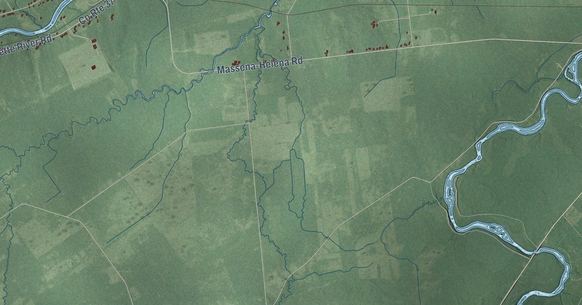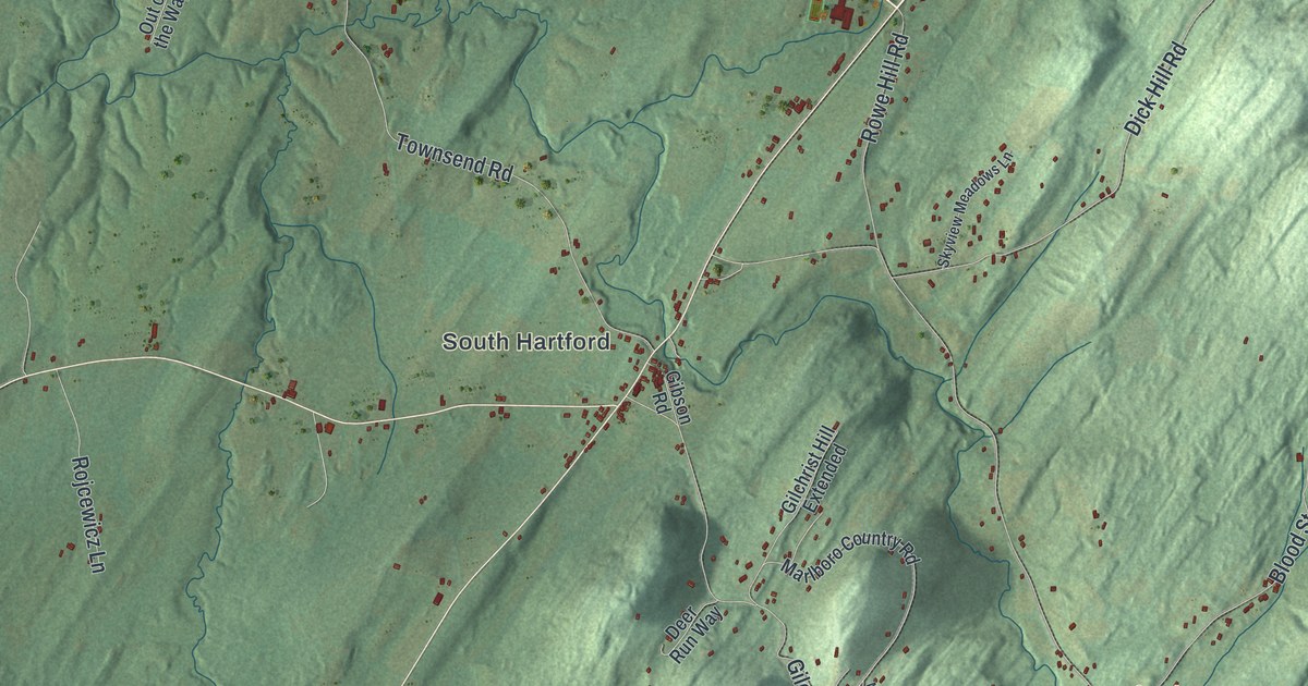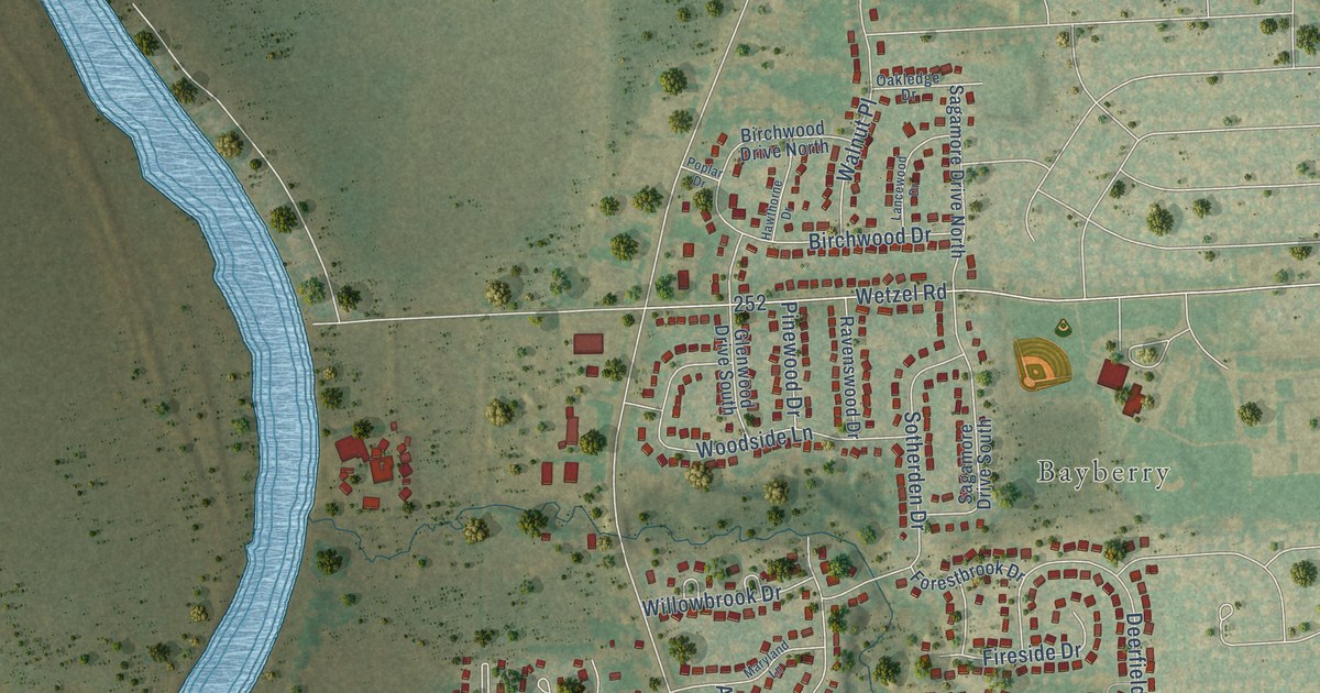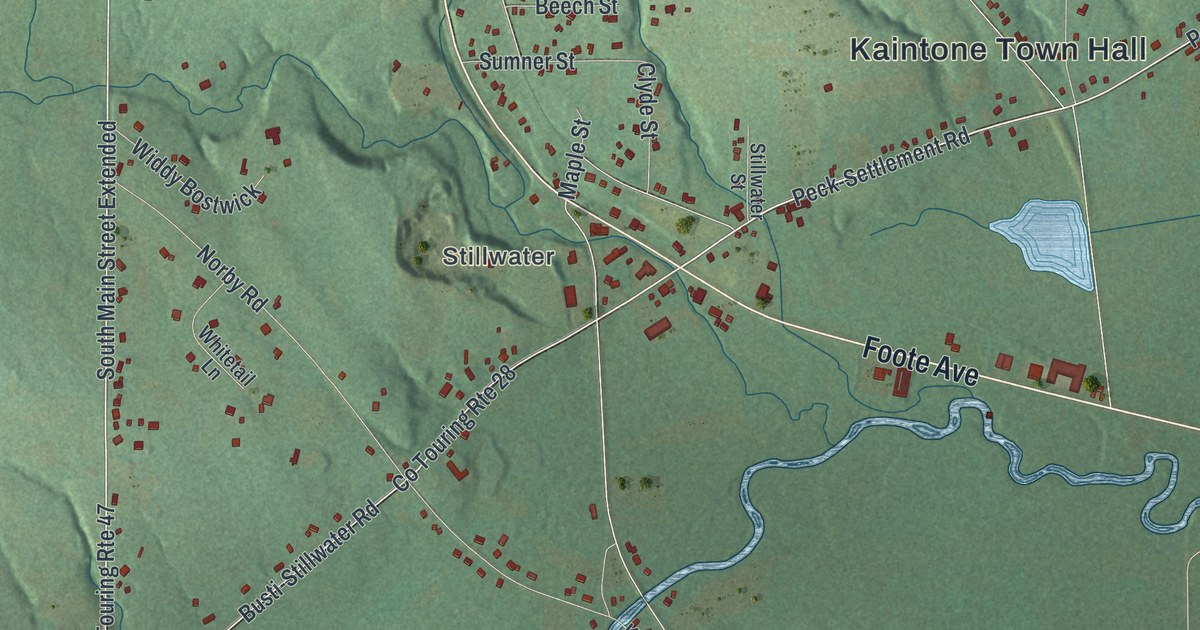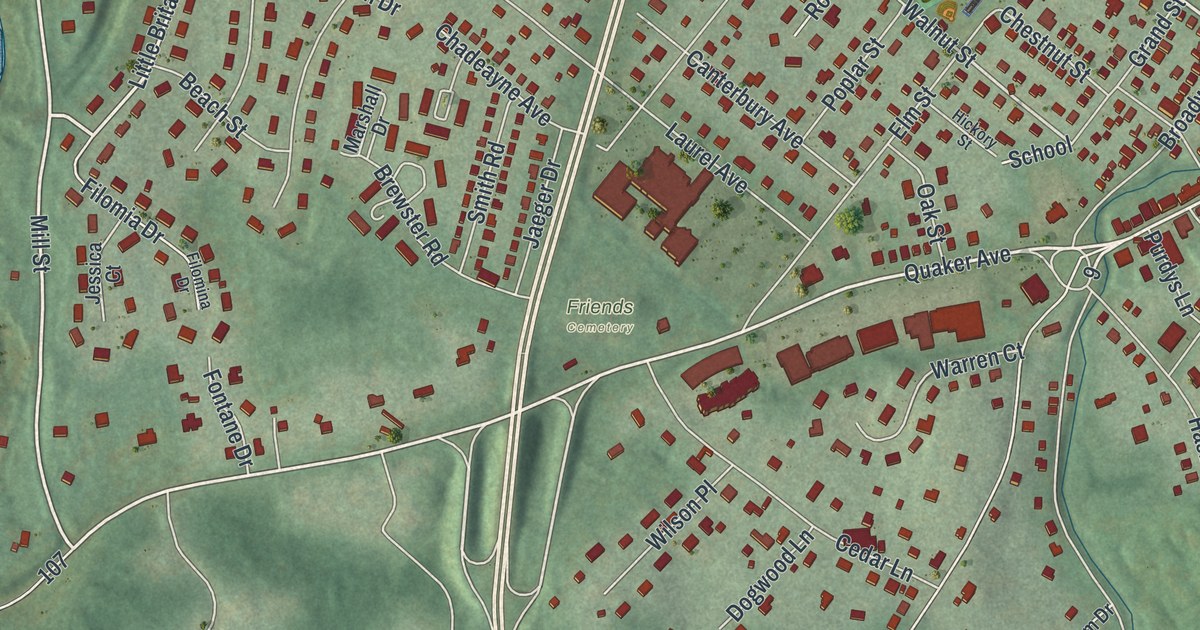
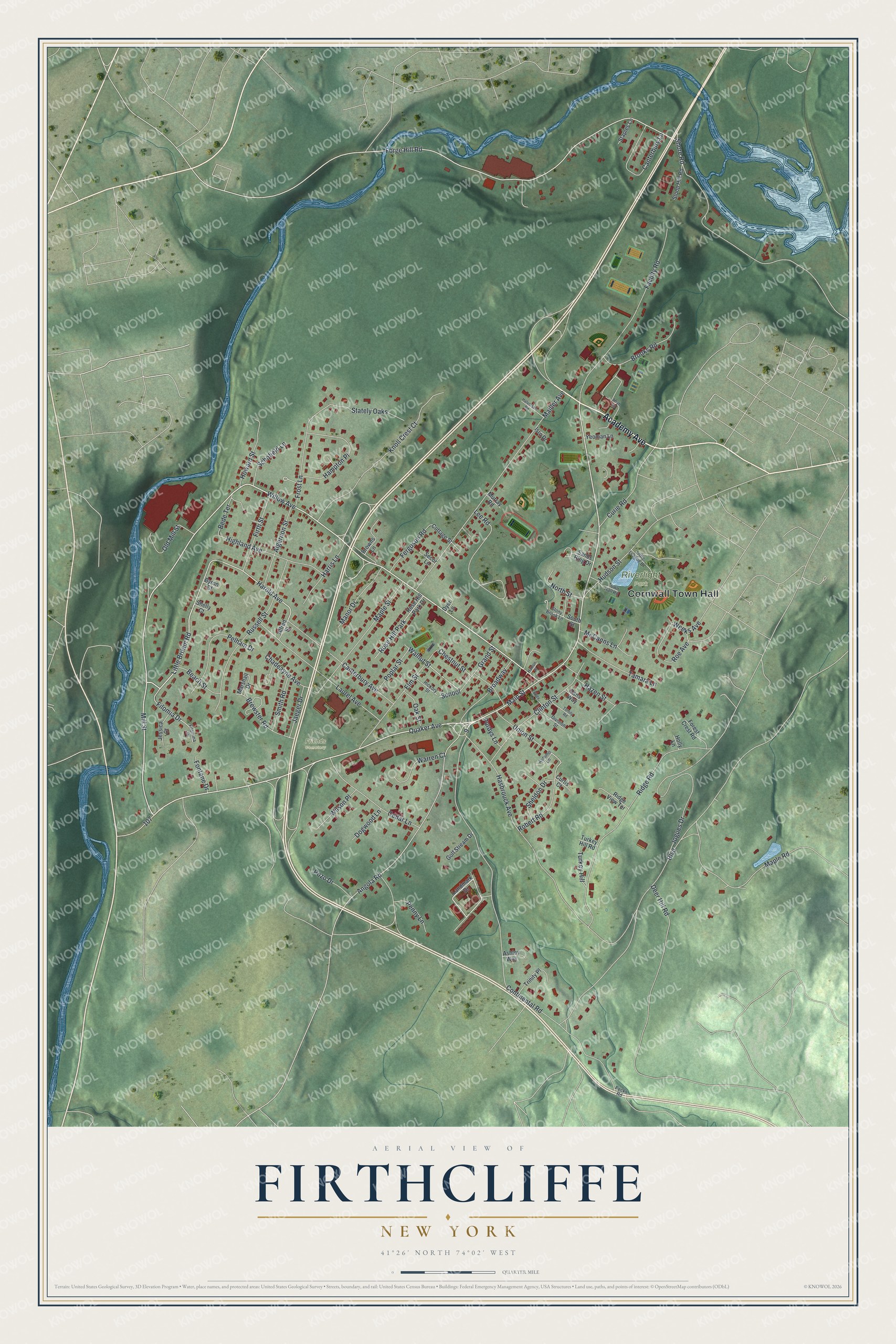
This beautifully detailed map of Firthcliffe, New York was created in 2026 using aerial imagery combined with modern topographical, census, street and landmark data. It’s a one-of-a-kind view of Firthcliffe that combines accurate data with a vintage aesthetic. The map shows every building in its true location, many of the roads carry their names, and the shaded topographic relief shows the shape of the land.
Explore an aerial view of Firthcliffe, New York
On the map you’ll find Cornwall Town Hall, Riverlight Park, and Friends Cemetery, along with Academy Avenue, Willow Avenue, Mill Street, Harold Avenue, and more. If you look closely you can even find your house accurately drawn in its correct location. Zoom in on the preview to look for yours.
Take a closer look at the Firthcliffe map
Names on this map
These names are printed on this map.
Places: Cornwall Town Hall, Riverlight Park, Friends Cemetery and Rose Hill Park.
Streets and roads: Academy Avenue, Willow Avenue, Mill Street, Harold Avenue, Main Street, Little Britain Road, Walnut Street, Forge Hill Road, School, Continental Road, Quaker Avenue, Hasbrouck Avenue.
More street names, A to Z
Aftab Road, Alfred Street, Algernon Street, Angola Road, Ashley Way, Autumn Lane, Beach Street, Bede Terrace, Boulevard, Brewster Road, Broadway, Brooks Road, Browns Lane, Byron Court, Canterbury Avenue, Canterbury Lane, Cedar Lane, Chadeayne Avenue, Chestnut Street, Clinton Street, Cottage Street, Curie Road, Curtis Court, Deer Hill Road, Division Street, Dogwood Lane, Dyer Lane, Elm Street, Faculty Road, Ferguson Road, Filomia Drive, Filomina Drive, Firth Street, Fontane Drive, Forest Crest Road, Frost Lane, Golf Stream Drive, Grand Street, Halvorsen Road, Hampton Place, Hanlon Place, Harris Lane, Hazen Street, Hickory Street, Highland Avenue, Holly Lane, Howard Street, Hudson Street, Isro Drive, Jaeger Drive, Jessica Court, Jogues Drive, Knoll Crest Court, Landmark Drive, Laurel Avenue, Lee Road, Little League Drive, Mailler Avenue, Manor Drive, Maple Road, Maple Street, Marshall Drive, McCanns Lane, Murray Road, North Street, Oak Street, Old Mill Street, Pecks Road, Pelham Drive, Penny Lane, Poplar Street, Pozo Drive, Purdys Lane, Ridge Road, Ridge View Terrace, Robert Road, Roe Avenue, Rose Hill Park Drive, Russell Street, Sands Ring Drive, Schofield Lane, Secor Lane, Sheldon Drive, Shelly Court, Shore Road, Sloop Hill Road, Smith Road, South Street, Staples Lane, Stately Oaks, Stony Brook Lane, Tamara Lane, Tomily Road, Torrey Lane, Town Hall Road, Trinity Place, Turkey Hill, Turkey Hill Road, Union Street, Vans Way, Warren Court, Weeks Avenue, Wilson Place, Yeoman Lane.
See it on a wall
The Firthcliffe map as a framed print. Swipe for more.


This beautifully detailed map of Firthcliffe makes an attractive addition to your office, library, or den, and it can even be used to teach children the geography and history of the area. It also makes a great gift for anyone with Firthcliffe roots. When you’re done exploring, click here to get your copy of the Firthcliffe map.