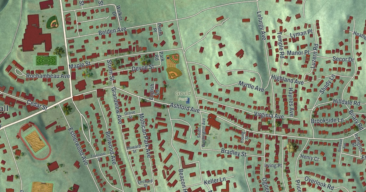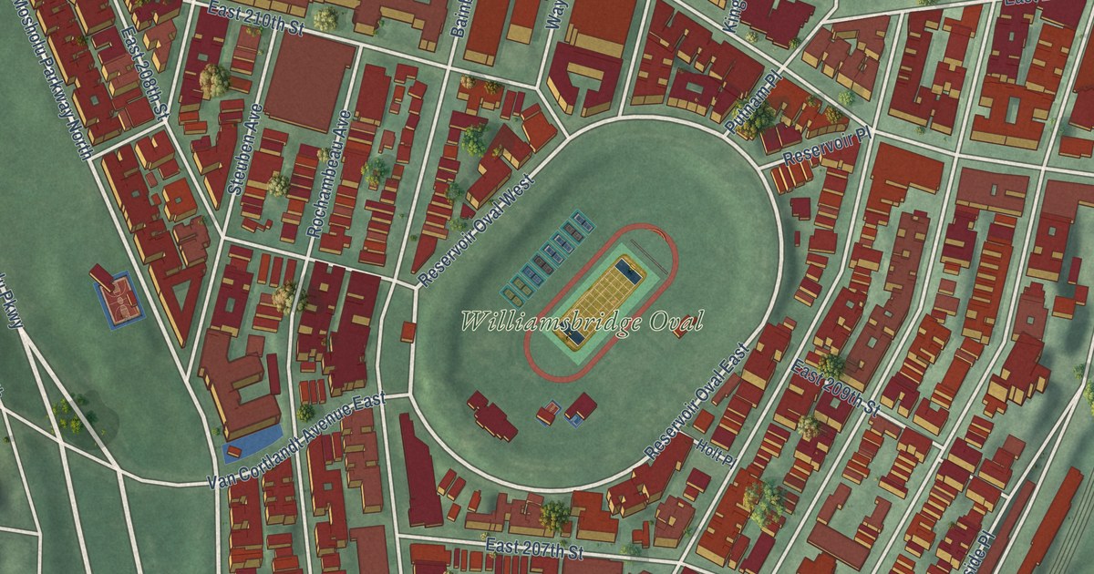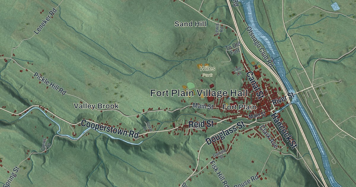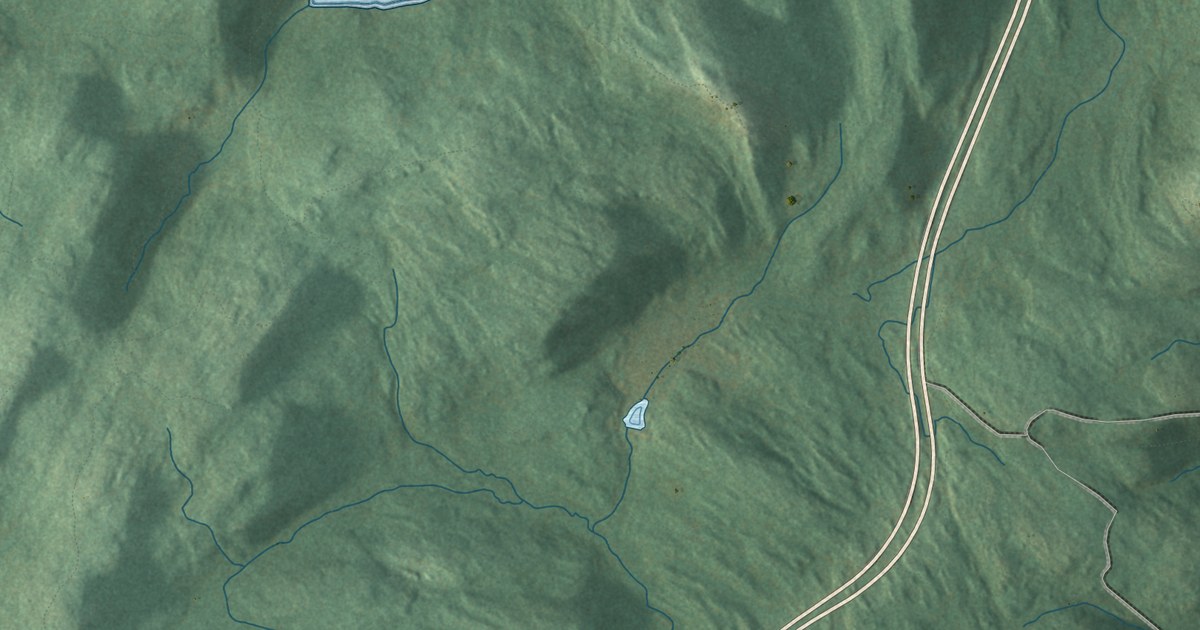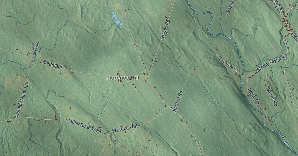
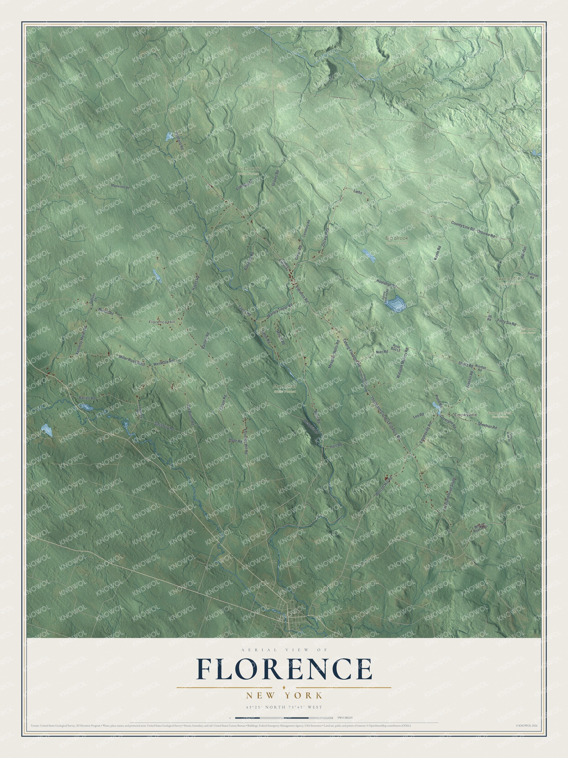
This beautifully detailed map of Florence, New York was created in 2026 using aerial imagery combined with modern topographical, census, street and landmark data. It’s a one-of-a-kind view of Florence that combines accurate data with a vintage aesthetic. The map shows every building in its true location, many of the roads carry their names, and the shaded topographic relief shows the shape of the land.
Explore an aerial view of Florence, New York
On the map you’ll find Empeyville, Florence Hill, Big Brook State Forest, Fall Brook State Forest, Furnace Creek State Forest, and Mad River State Forest, along with Orourke Road, Osceola Road, Shultz Road, Thompson Corners Florence Road, Nier Road, and more. If you look closely you can even find your house accurately drawn in its correct location. Zoom in on the preview to look for yours.
Did You Know?
Florence was created in 1805 from part of the town of Camden. It took its name from the famous city of Florence in Italy. The town covers the far northwestern corner of Oneida County.
Take a closer look at the Florence map
Names on this map
These names are printed on this map.
Places: Empeyville, Florence Hill, Big Brook State Forest, Fall Brook State Forest, Furnace Creek State Forest, Mad River State Forest, Swancott Hill State Forest and Tri-County State Forest.
Streets and roads: County Line Road, Hanifan, Orourke Road, Osceola Road, Shultz Road, Liehs, Thompson Corners Florence Road, Nier Road, Wolcott Hill Road, Redfield Road, Walasek Mulcoy Road, Empeyville Road.
More street names, A to Z
46 Road, Barrell Road, Bartlett Road, Cemetary Road, Cemetery Road, Chase Road, Flanagan Road, Florence Hill Road, Florence Redfield Road, Florence Road, Forty Six Road, Graves Road, Green Road, Hanifin Road, Hart Road, Hayes Road, Houlahan Road, Hyde Road, Johnny Smith Pd Road, Keefe Road, Kennedy Meier Road, Lee Road, Loveland Road, Loveland Road South, Manley Taylor Road, Maple Hill Road, McSpirit Road, Meagher Wells Road, Metott Road, Miller Road East, Miller Road West, Morris Road, Paddock Road, Pond Road, Rehm Road, Riordan Road, River Road, Rose Bud Lane, Salisbury Road, Sheehan Road, Sullivan Lane, Sullivan Road, Taberg-Florence Road, Taylor Road, Van Buren Road, Westdale Road, Willson Road West.
See it on a wall
The Florence map as a framed print. Swipe for more.


This beautifully detailed map of Florence makes an attractive addition to your office, library, or den, and it can even be used to teach children the geography and history of the area. It also makes a great gift for someone who left Florence and still calls it home. When you’re done exploring, click here to get your copy of the Florence map.