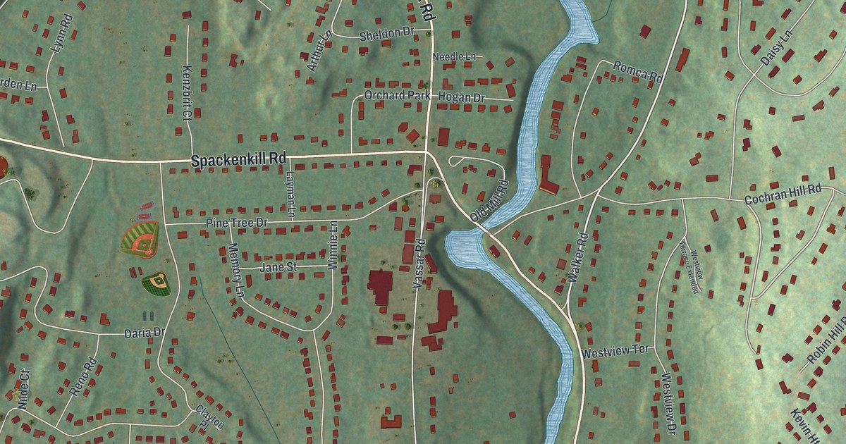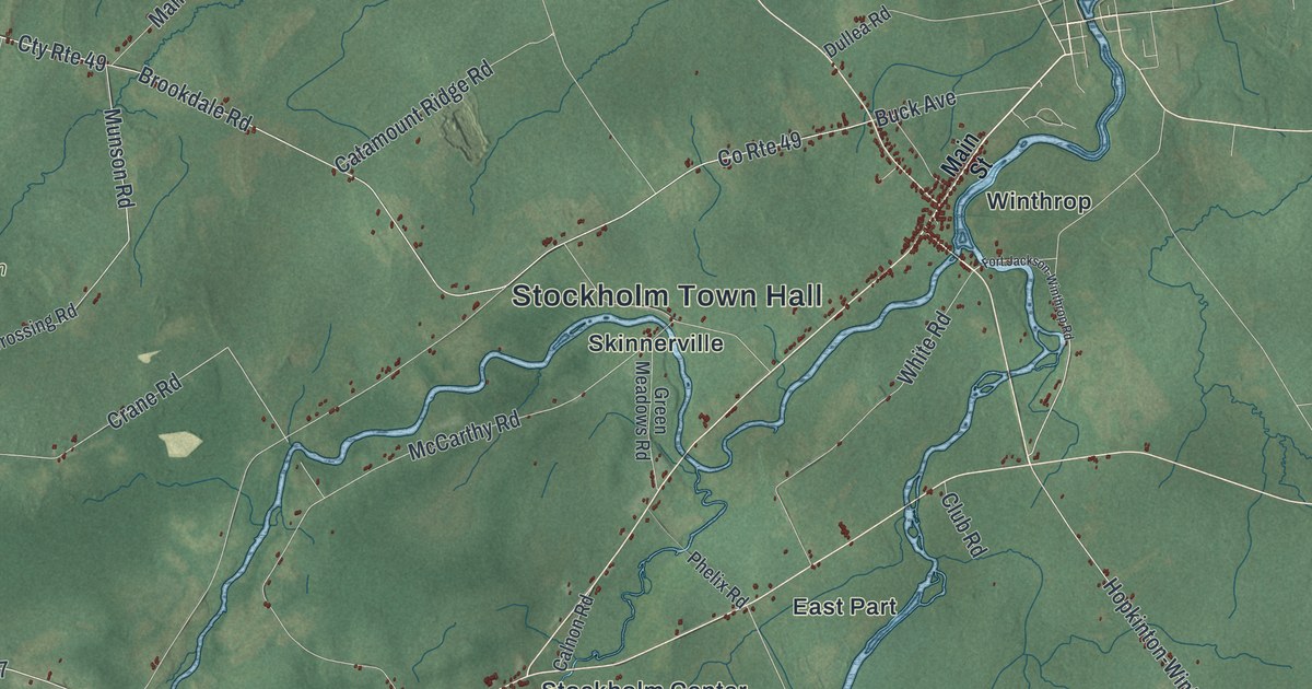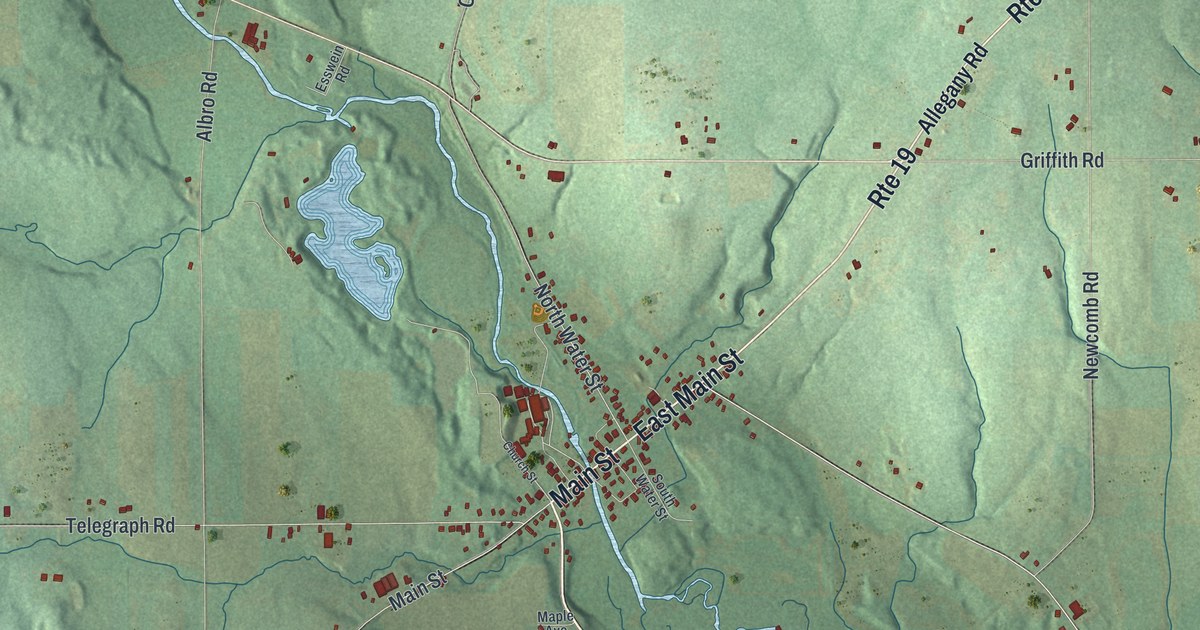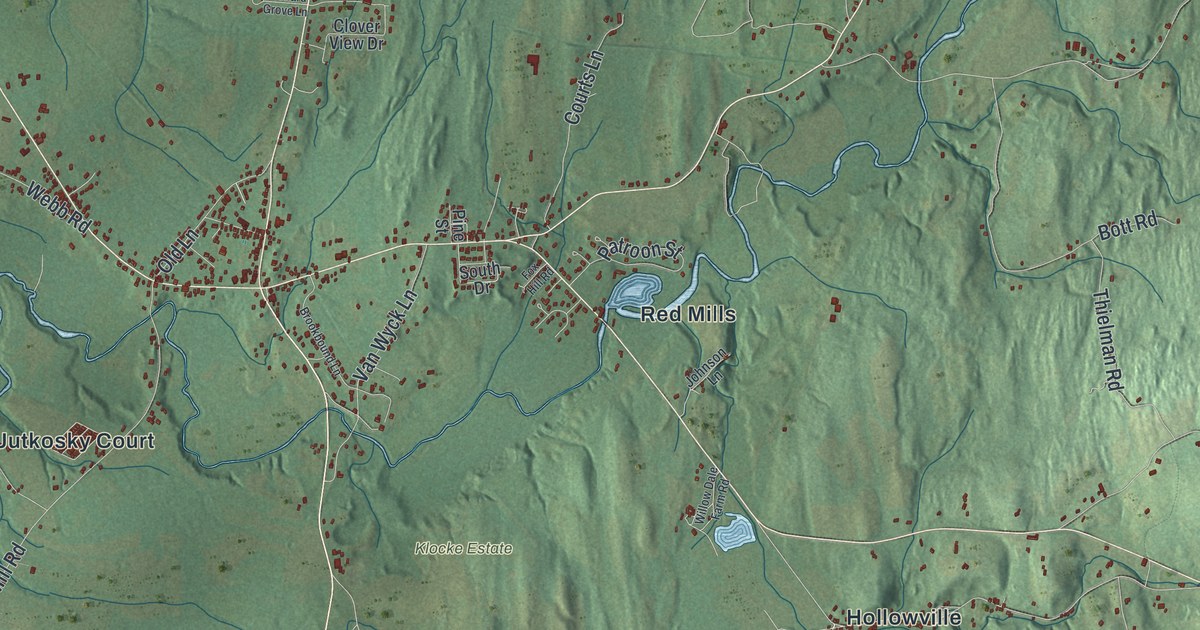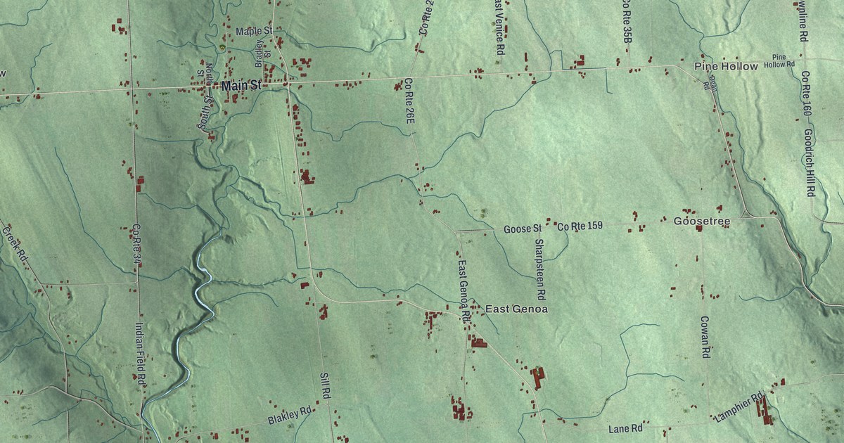
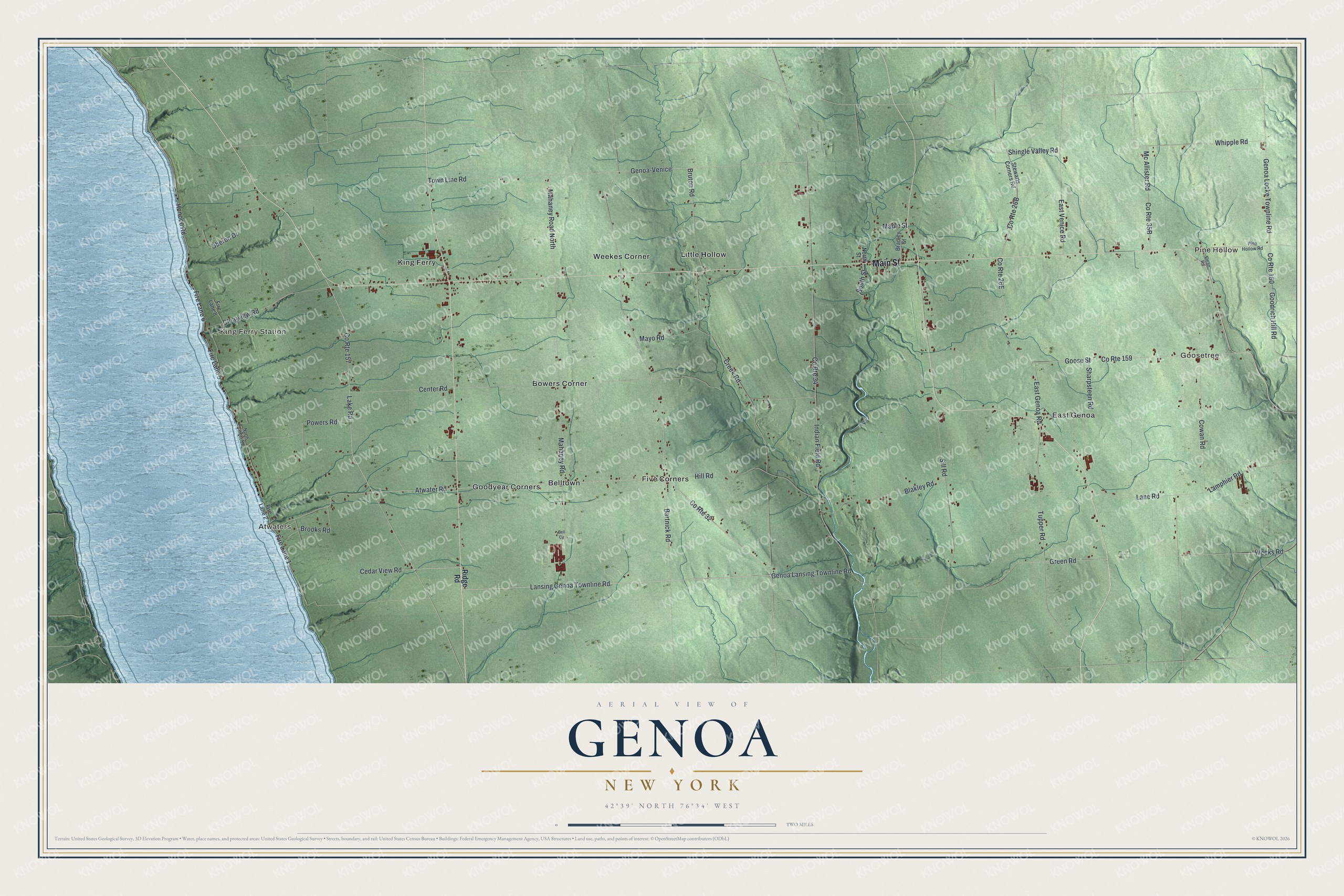
This beautifully detailed map of Genoa, New York was created in 2026 using aerial imagery combined with modern topographical, census, street and landmark data. It’s a one-of-a-kind view of Genoa that combines accurate data with a vintage aesthetic. The map shows every building in its true location, many of the roads carry their names, and the shaded topographic relief shows the shape of the land.
Explore an aerial view of Genoa, New York
On the map you’ll find Goosetree, Pine Hollow, King Ferry Station, Atwaters, and Belltown, along with Main Street, Ridge Road, Lansing Genoa Townline Road, Genoa Lansing Townline Road, Atwater Road, and more. If you look closely you can even find your house accurately drawn in its correct location. Zoom in on the preview to look for yours.
Did You Know?
This town began in 1789 under the name Milton, while still in Onondaga County. In 1808 it was renamed Genoa, after the city in Italy. Revolutionary War veteran Thomas Madison later carried the name west. He called Genoa, Illinois after this New York town.
Take a closer look at the Genoa map
Names on this map
These names are printed on this map.
Places: Goosetree, Pine Hollow, King Ferry Station, Atwaters, Belltown, Bowers Corner, East Genoa, Five Corners, Goodyear Corners, King Ferry, Little Hollow and Weekes Corner.
Streets and roads: Main Street, Lansing Genoa Townline Road, Genoa Lansing Townline Road, Atwater Road, Lake Road, County Route 32, Bartnick Road, Genoa Locke Townline Road, Mc Allister Road, Honoco Road, Fire Lane 6, Weeks Road.
More street names, A to Z
Bell Circle, Blakley Road, Bradley Street, Brooks Road, Bruton Road, Cedar View Road, Center Road, Clearview Road, County Route 34, County Route 157, County Route 159, County Route 160, Cowan Road, Creek Road, Dean Road, East Genoa Road, East Venice Road, Fire Lane 1, Fire Lane 2, Fire Lane 5, Fire Lane 8, Genoa-Venice, Goodrich Hill Road, Goose Street, Green Road, Hill Road, Indian Field Road, Lamphier Road, Lane Road, Mahaney Road, Mahaney Road North, Maple Street, Mayo Road, North Powers Road, North Street, Oberon Drive, Pine Hollow Road, Powers Road, Ridge Road, Sharpsteen Road, Shingle Valley Road, Sill Road, South Street, Stewarts Corners Road, Town Line Road, Tupper Road, Whipple Road.
See it on a wall
The Genoa map as a framed print. Swipe for more.


This beautifully detailed map of Genoa makes an attractive addition to your office, library, or den, and it can even be used to teach children the geography and history of the area. It also makes a great gift for anyone with Genoa roots. When you’re done exploring, click here to get your copy of the Genoa map.