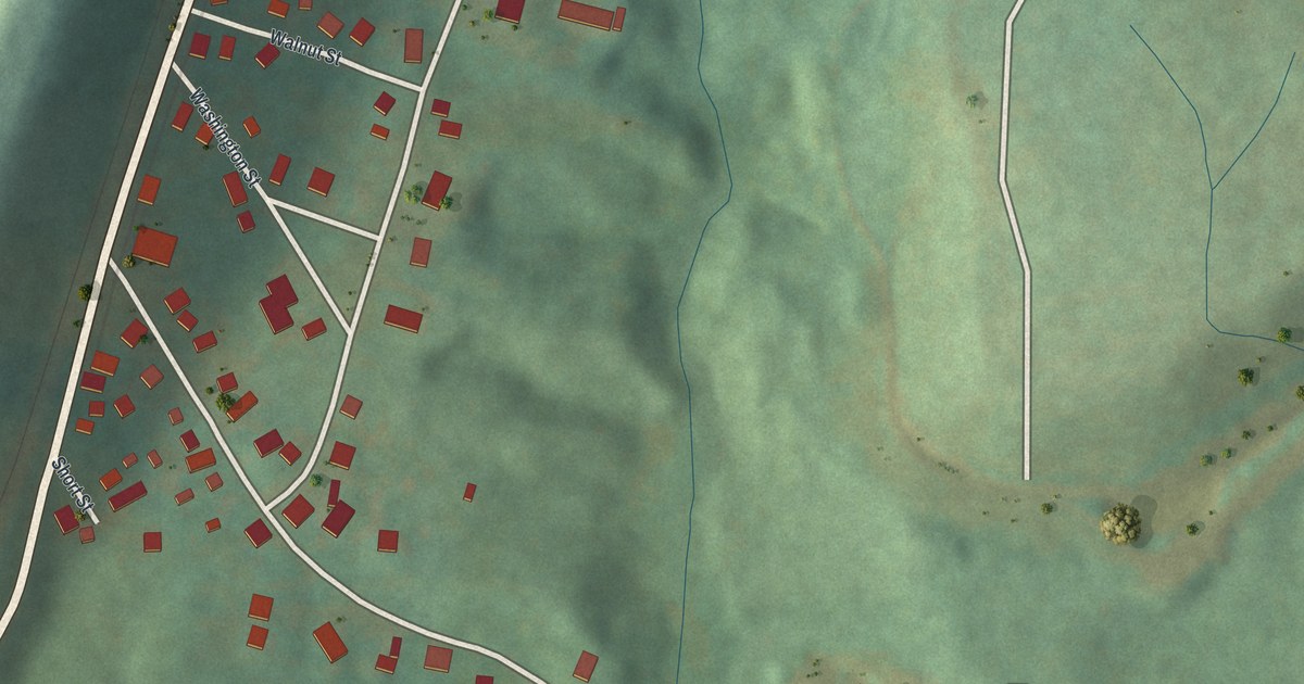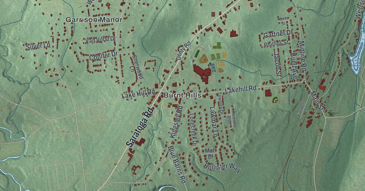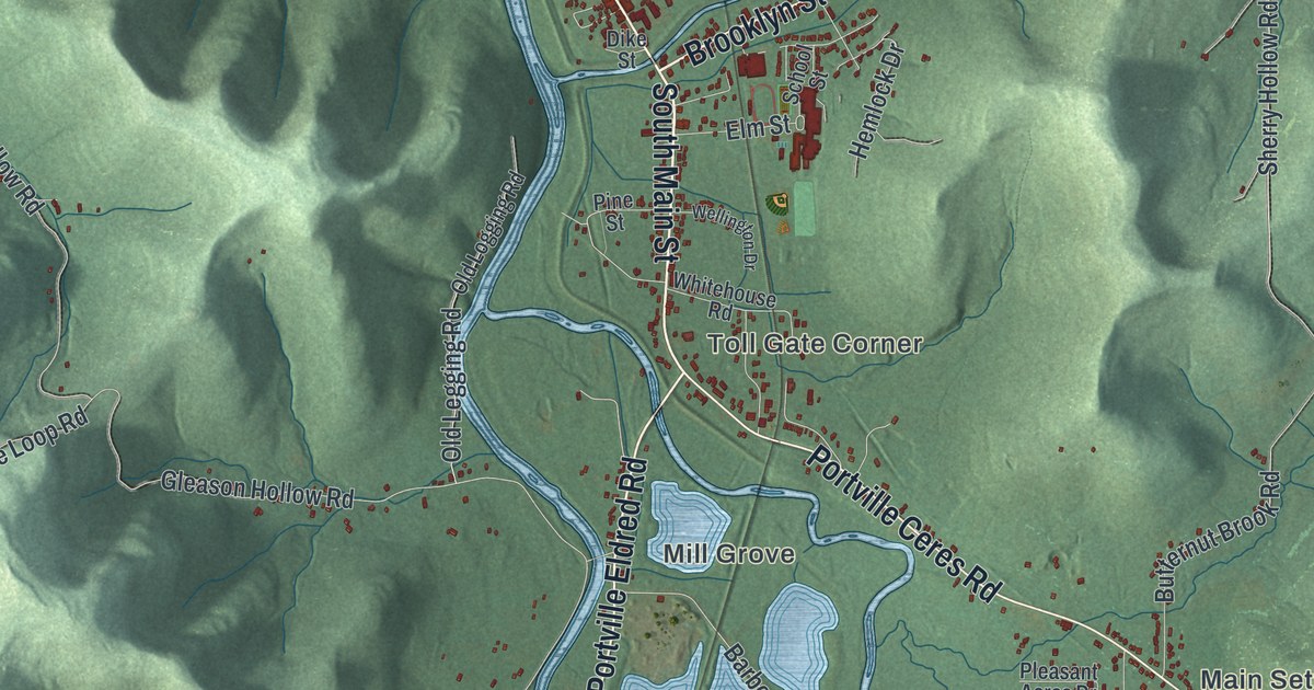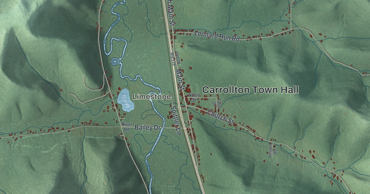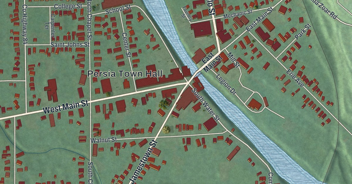
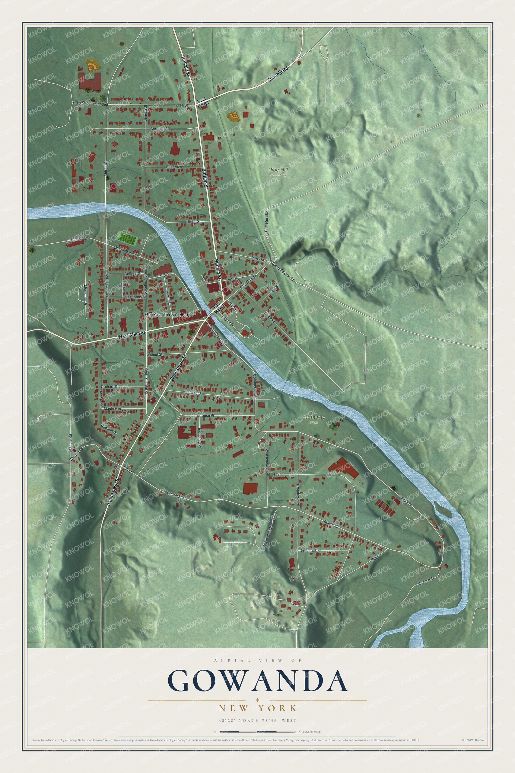
This beautifully detailed map of Gowanda, New York was created in 2026 using aerial imagery combined with modern topographical, census, street and landmark data. It’s a one-of-a-kind view of Gowanda that combines accurate data with a vintage aesthetic. The map shows every building in its true location, many of the roads carry their names, and the shaded topographic relief shows the shape of the land.
Explore an aerial view of Gowanda, New York
On the map you’ll find Persia Town Hall, Gateway Park, and Pine Hill Cemetery, along with Buffalo Street, Sandhill Road, Main Street, Jamestown Street, and more. If you look closely you can even find your house accurately drawn in its correct location. Zoom in on the preview to look for yours.
Did You Know?
Turner Aldrich came up Cattaraugus Creek from Connecticut in 1810 with three sons and three daughters. He took 707 acres, built a sawmill and later a gristmill, and the place was called Aldrich’s Mills. Settlers later chose Gowanda, from a Seneca phrase meaning a valley among the hills.
Take a closer look at the Gowanda map
Names on this map
These names are printed on this map.
Places: Persia Town Hall, Gateway Park and Pine Hill Cemetery.
Streets and roads: Buffalo Street, Sandhill Road, West Main Street, Jamestown Street, Palmer Street, Commercial Street, South Water Street, Beech Street, Allen Street, East Main Street, East Hill Street, North Water Street.
More street names, A to Z
Aldrich Street, Allen Street Extended, Bader Avenue, Broadway Road, Caroline Road, Carpenter Terrace, Cemetery Road, Center Street, Chestnut Street, College Street, County Highway 84, Crestwood Drive, Dawson Drive, Erie Avenue, Foundry Street, Frederick Street, Gowanda Zoar Road, High Street, Hill Street, Industrial Place, Johnson Street, Legion Drive, Maltbie Road, Maple Avenue, Mechanic Street, Memorial Drive, Miller Street, Mill Street, Moench Street, North Chapel Street, Orchard Place, Panther Drive, Park Street, Perry Street, Saint Johns Street, Sand Hill Road, School Street, Seneca Street, South Chapel Street, Torrance Place, Townsend Avenue, Union Street, Walnut Street, West Hill Street.
See it on a wall
The Gowanda map as a framed print. Swipe for more.


This beautifully detailed map of Gowanda makes an attractive addition to your office, library, or den, and it can even be used to teach children the geography and history of the area. It also makes a great gift for anyone who grew up in Gowanda or moved away. When you’re done exploring, click here to get your copy of the Gowanda map.