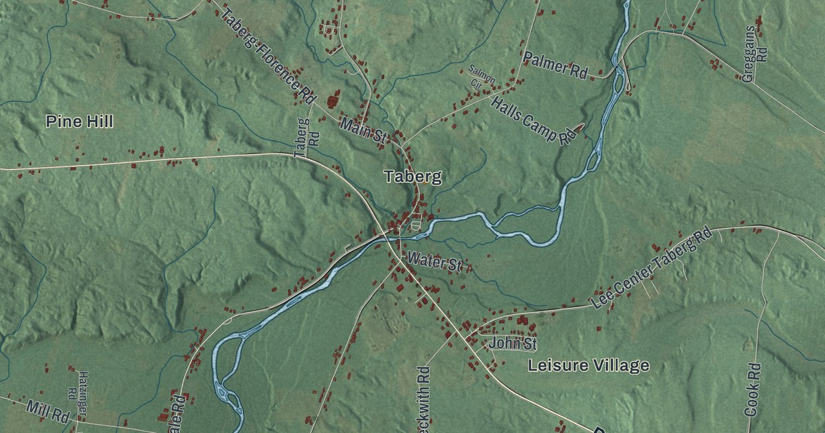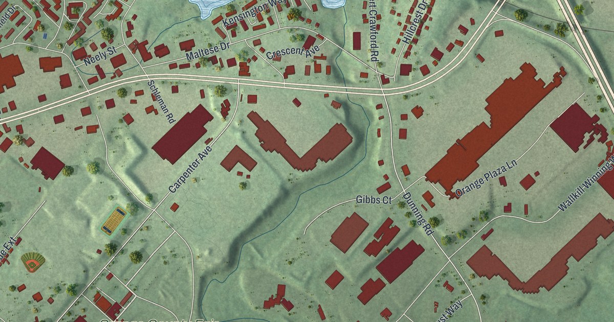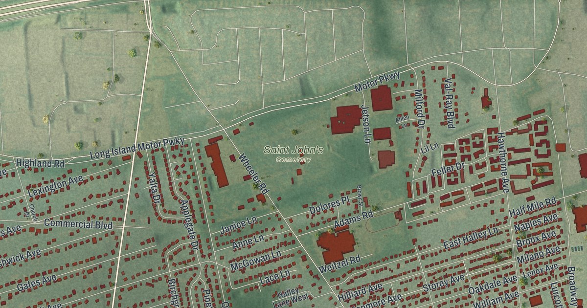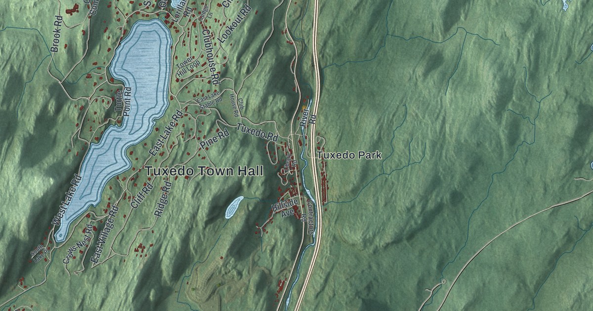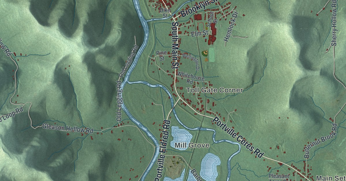
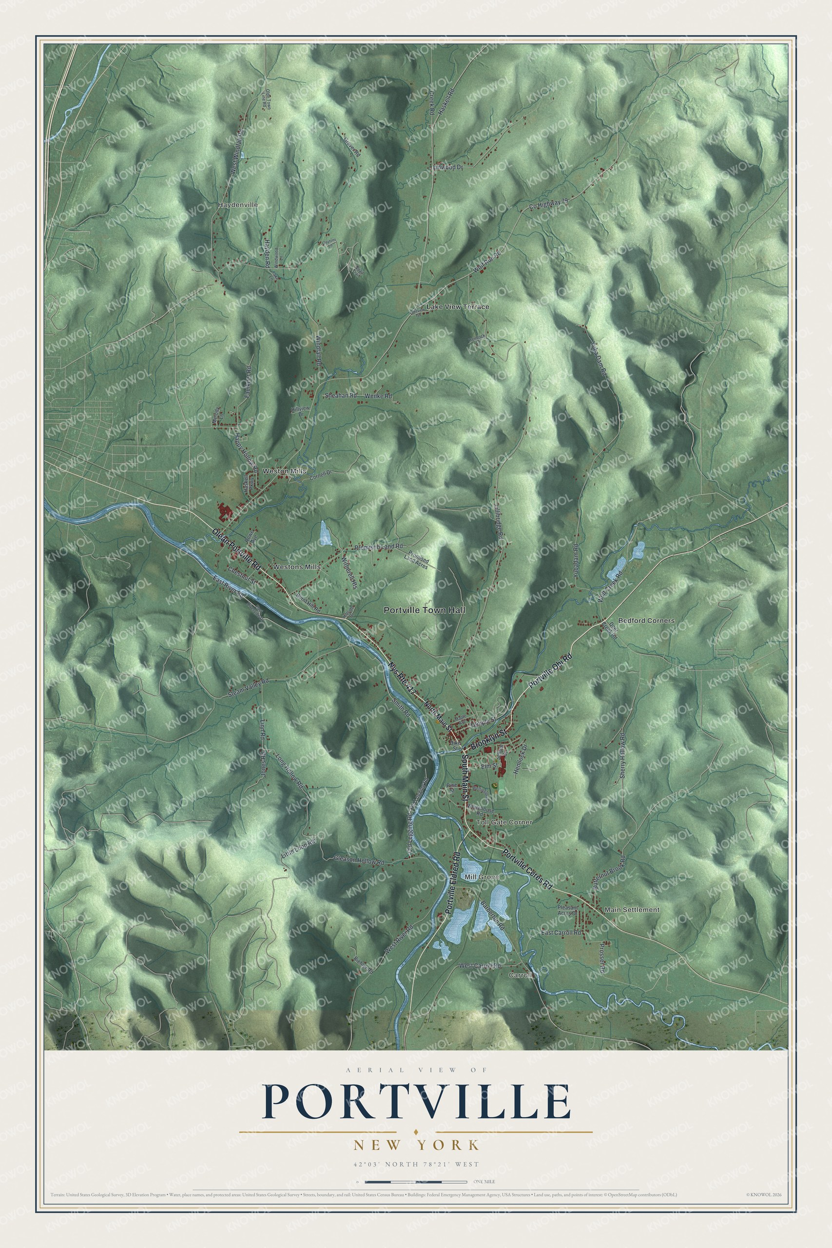
This beautifully detailed map of Portville, New York was created in 2026 using aerial imagery combined with modern topographical, census, street and landmark data. It’s a one-of-a-kind view of Portville that combines accurate data with a vintage aesthetic. The map shows every building in its true location, many of the roads carry their names, and the shaded topographic relief shows the shape of the land.
Explore an aerial view of Portville, New York
On the map you’ll find Portville Town Hall, Carroll, Main Settlement, Haydenville, Mill Grove, and Toll Gate Corner, along with Olean Portville Road, Portville Obi Road, Brooklyn Street, Main Street, and more. If you look closely you can even find your house accurately drawn in its correct location. Zoom in on the preview to look for yours.
Did You Know?
Portville took its name from its early work as a shipping point. Lumber and other goods left here on boats bound down the Allegheny River. The town was carved out of Olean in 1837.
Take a closer look at the Portville map
Names on this map
These names are printed on this map.
Places: Portville Town Hall, Carroll, Main Settlement, Haydenville, Mill Grove, Toll Gate Corner, Bedford Corners, Lake View Terrace, Weston Mills and Westons Mills.
Streets and roads: Olean Portville Road, Portville Obi Road, Brooklyn Street, South Main Street, Portville Ceres Road, Nys Route 417, Portville Eldred Road, Temple Street, Yubadam Road, Wenke Road, Sherry Hollow Road, Haskell Road.
More street names, A to Z
Barberton Road, Biehler Road, Burnt Hill Road, Butternut Brook Road, Chestnut Street, Claytons Lane, Cornell Drive, County Highway 79, Creek Road, Deer Creek Road, Dike Street, East Carroll Road, East River Road, East Riverside Drive, Elm Street, Faulkner Road, Gleason Hollow Road, Grover Road, Happy Hollow Road, Haskell Parkway, Hayden Road, Hemlock Drive, Hemlock Lane, Hillside Drive, Hillview Drive, Jones Road, Lake Lane, Lakeview Terrace, Lillibridge Road, Linn Road, Linwood Drive, Little Loop Road, Long Hollow Road, Maple Avenue, Melody Lane, North Main Street, Olde Town Line Road, Old Legging Road, Old Logging Road, Pine Street, Pleasant Acres Drive, Promised Land Acres, Promised Land Road, Prosser Road, Quail Trail, Rowe Avenue, School Street, Sheahan Road, Smith Road, Steam Valley Road, Wellington Drive, West Carroll Road, West River Road, West Windfall Road, Whitehouse Road, Windfall Road, Windwood Lane, Witherell Heights, Wolf Creek Road, Wolf Run Road, Yuba Dam Road.
See it on a wall
The Portville map as a framed print. Swipe for more.


This beautifully detailed map of Portville makes an attractive addition to your office, library, or den, and it can even be used to teach children the geography and history of the area. It also makes a great gift for anyone who grew up in Portville or moved away. When you’re done exploring, click here to get your copy of the Portville map.