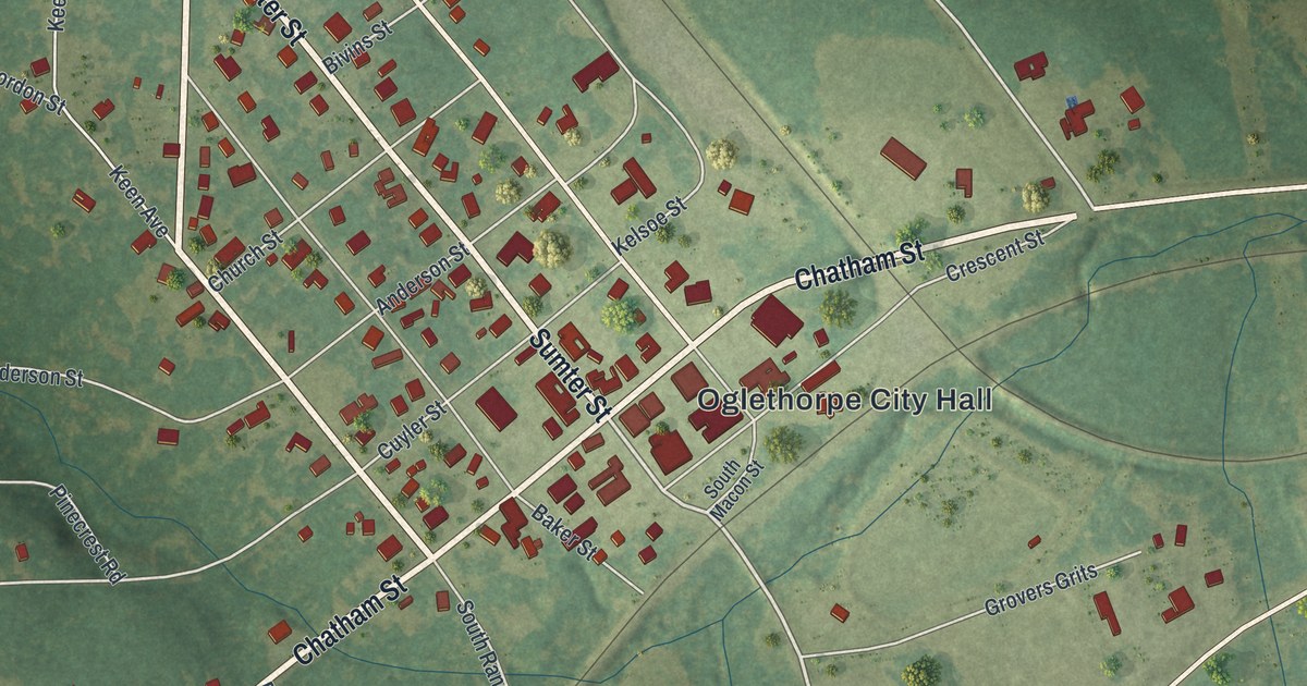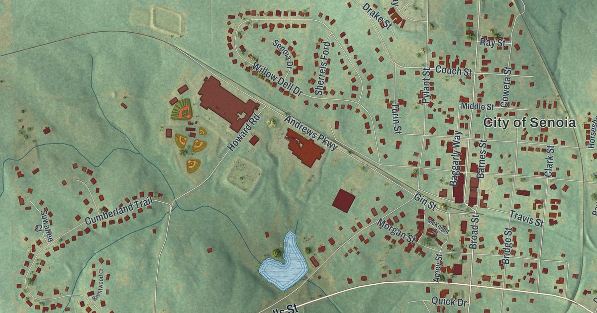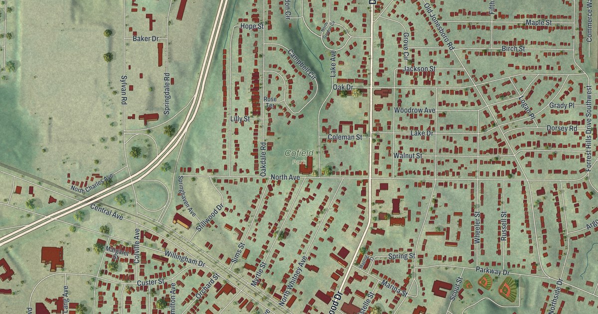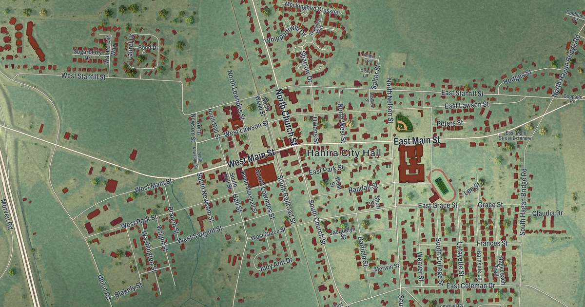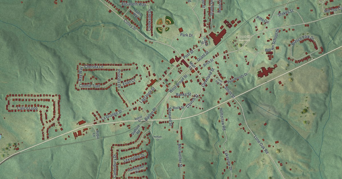
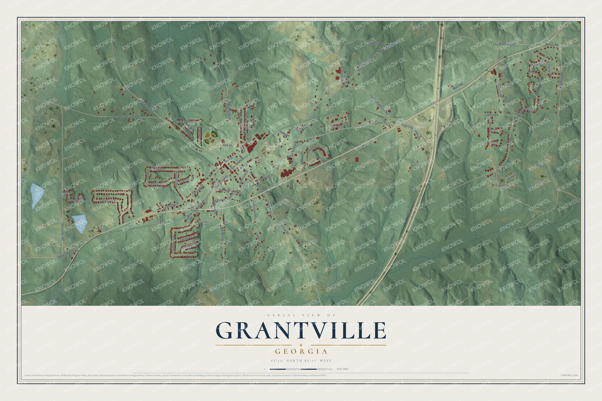
This beautifully detailed map of Grantville, Georgia was created in 2026 using aerial imagery combined with modern topographical, census, street and landmark data. It’s a one-of-a-kind view of Grantville that combines accurate data with a vintage aesthetic. The map shows every building in its true location, many of the roads carry their names, and the shaded topographic relief shows the shape of the land.
Explore an aerial view of Grantville, Georgia
On the map you’ll find Griffin Street, Colley Street, Church Street, Post Street, Lone Oak Road, and more. If you look closely you can even find your house accurately drawn in its correct location. Zoom in on the preview to look for yours.
Did You Know?
After the Civil War, a veteran of Johnston’s army named Zellars settled in Grantville. He opened a store with Capt. William J. Garrett, and the business did well. Zellars built the first brick store and the first brick house in town. He also organized the bank and served as its president for many years. That’s from the 1917 History of Georgia and Georgians.
Take a closer look at the Grantville map
Names on this map
These names are printed on this map.
Places: Grantville Cemetery.
Streets and roads: Griffin Street, Colley Street, Church Street, Post Street, Lone Oak Road, Smith Street, Brown School Drive, Grant Street, Ray Way, Roger Arnold Road, Jenny Road, Calico Loop.
More street names, A to Z
Alexander Road, Allen Road, Arnold Street, Banks Street, Barton Place, Bexley Road, Birch Street, Bo Bo Banks Road, Bohannon Road, Bombay Drive, Bradbury Road, Brasch Park Drive, Canterbury Drive, Carey Court, Cedar Street, Cemetery Road, Charlie Patterson Road, Chelsea Lane, Clarence McCambry Road, Classic Road, Cleveland Street, Connie Trail, Coweta Heard Road, Creekside Drive, Elisabeth Way, Evan Court, Fuller Court, Grady Smith Street, Grandma Branch Road, Greenfield Lane, Hill Top Circle, Holtzclaw Road, Huntington Drive, Jenny Court, La Grange Street, Lagrange Street, Lakeview Drive, Levi Bradbury Road, Lexington Drive, Lone Oak Street, Lowery Road, Main Street, Manx Drive, Maple Street, McCollum Drive, Meadowbrook Lane, Meriwether Street, Minnie Sewell Road, Palmer Place, Park Drive, Pelham Court, Pine Street, Pitts Circle, Pool Woods Drive, Priscilla Drive, Reese Street, Robin Lane, Rock Street, Roger Allen Road, Saint Charles Place, Shepard Street, South Meadows Ridge Drive, Stafford Road, Stokes Street, Tonis Way, Ward Road, West Broad Street, West Grantville Road, Wright Place.
See it on a wall
The Grantville map as a framed print. Swipe for more.


This beautifully detailed map of Grantville makes an attractive addition to your office, library, or den, and it can even be used to teach children the geography and history of the area. It also makes a great gift for anyone with Grantville roots. When you’re done exploring, click here to get your copy of the Grantville map.