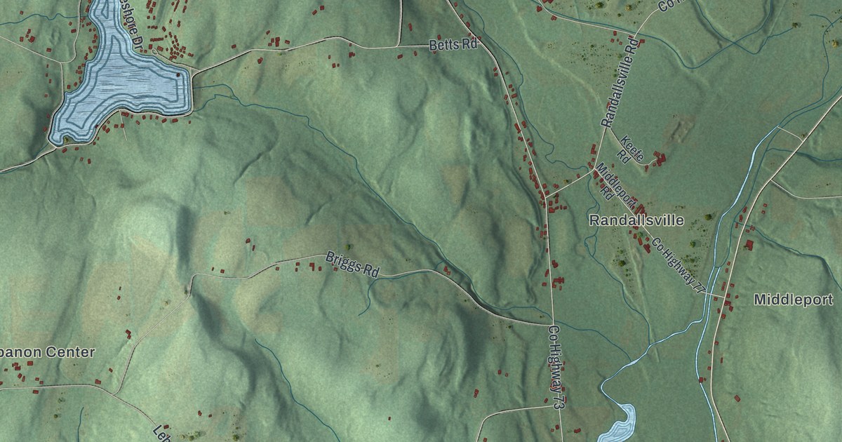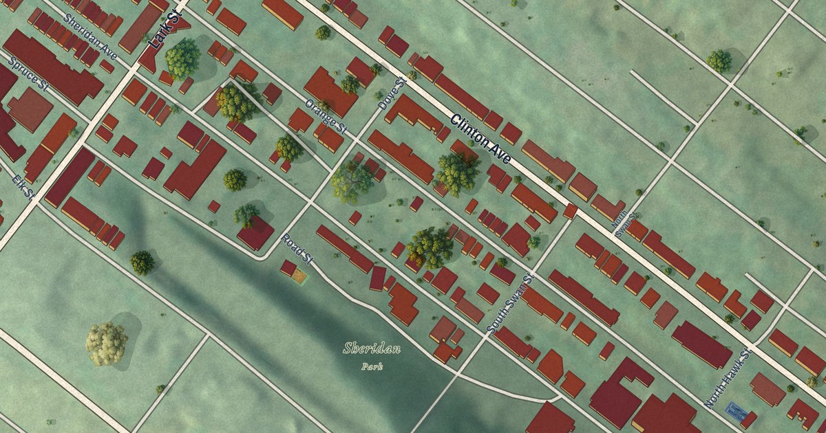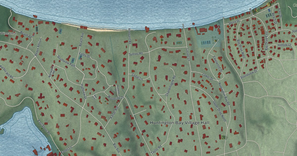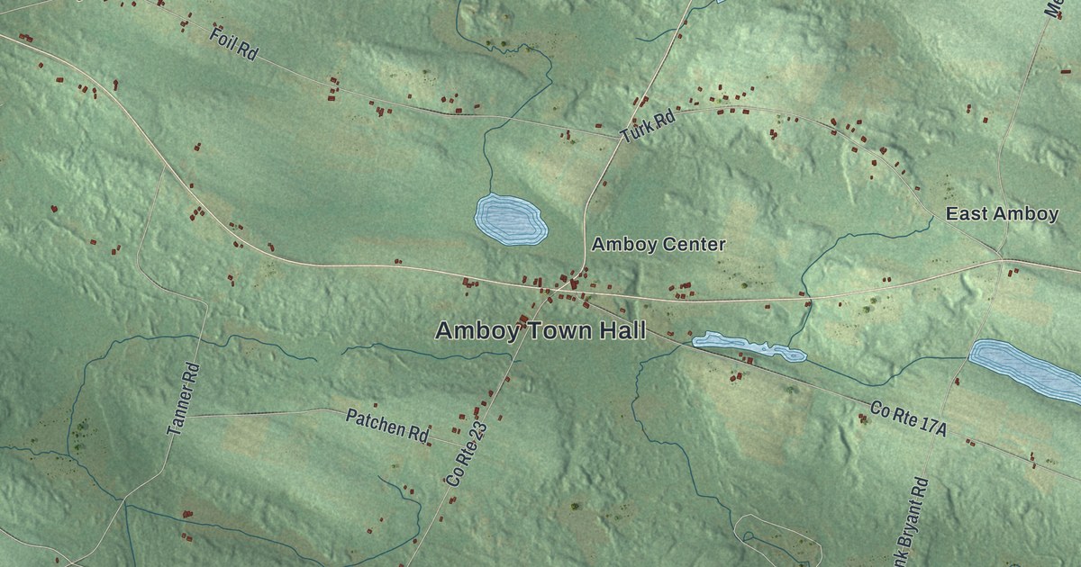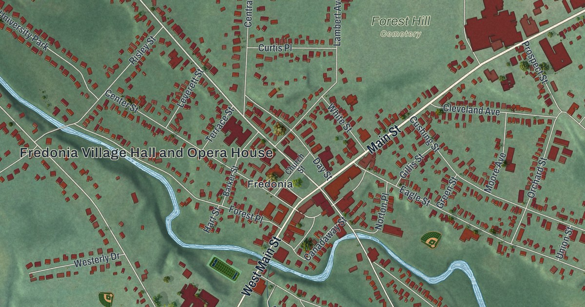
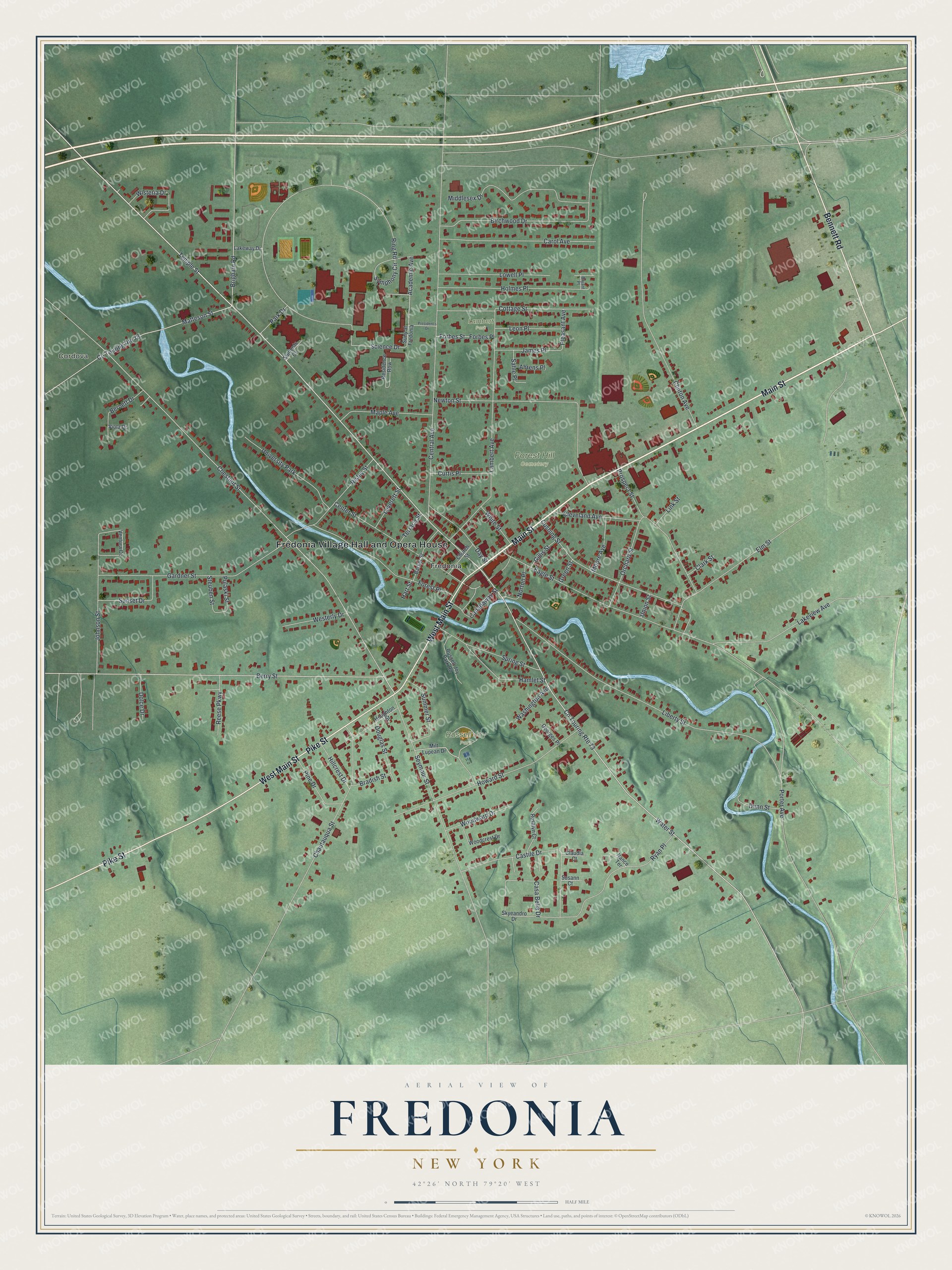
This beautifully detailed map of Fredonia, New York was created in 2026 using aerial imagery combined with modern topographical, census, street and landmark data. It’s a one-of-a-kind view of Fredonia that combines accurate data with a vintage aesthetic. The map shows every building in its true location, many of the roads carry their names, and the shaded topographic relief shows the shape of the land.
Explore an aerial view of Fredonia, New York
On the map you’ll find Fredonia Village Hall and Opera House, Cordova, Forest Hill Cemetery, Russell Joy Park, and Lambert Park, along with Main Street, Pike Street, Bennett Road, Temple Street, and more. If you look closely you can even find your house accurately drawn in its correct location. Zoom in on the preview to look for yours.
Did You Know?
In 1821 William Hart dug the first well in the United States made to produce natural gas. He dug it by hand on the banks of Canadaway Creek, 27 feet deep. Hollow logs carried the gas. By 1825 it lit two stores, two shops and a gristmill.
Take a closer look at the Fredonia map
Names on this map
These names are printed on this map.
Places: Fredonia Village Hall and Opera House, Cordova, Forest Hill Cemetery, Russell Joy Park, Lambert Park, Fredonia and University Park.
Streets and roads: Main Street, West Main Street, Pike Street, Bennett Road, Temple Street, Water Street, Chestnut Street, Academic Avenue, Matteson Street, Co Touring Route 73, Eagle Street, Ring Road.
More street names, A to Z
Ahrens Place, Barker Street, Bernett Drive, Berry Street, Birchwood Drive, Bradish Street, Brigham Road, Bryant Place, Canadaway Street, Carol Avenue, Casa Bella Drive, Castile Drive, Center Street, Central Avenue, Chautauqua Street, Church Street, Clark Street, Claudia Court, Cleveland Avenue, Clinton Avenue, Co Touring Route 78, Cottage Street, Curtis Place, Cushing Street, Day Street, Dolce Drive, Douglas Street, Dunn Street, Elm Street, Forbes Place, Forbes Street, Forest Place, Gardner Street, Georges Place, Gillis Street, Green Street, Hamlet Street, Hart Street, Hillcrest Drive, Holmes Place, Houghton Street, Howard Street, James Place, Johnson Street, Lakeview Avenue, Lakeway Drive, Lambert Avenue, Leon Place, Leverett Street, Liberty Street, Link Street, Lowell Place, Maple Avenue, Middlesex Drive, Milt Lupean Drive, Moore Avenue, Nance Terrace, Newton Street, Norton Place, Orchard Street, Park Drive, Pine Drive, Pleasant Avenue, Porter Avenue, President's Drive, Prospect Street, Pulaski Street, Reese Parkway, Residence Row, Risley Street, Rosalyn Court, Russell Joy Park Road, Ryan Place, Sahle Place, Science Drive, Seymour Street, Skyeandro Drive, Spring Street, Steuben Street, Students Court, Summer Street, Sunset Drive, Suny at Fredonia, Susann Court, Symphony Circle, Terrace Street, Union Street, Ventura Circle, Viola Drive, Washington Avenue, Westerly Drive, White Street, Wisteria Drive, Woodcrest Drive, Woodward Drive.
See it on a wall
The Fredonia map as a framed print. Swipe for more.


This beautifully detailed map of Fredonia makes an attractive addition to your office, library, or den, and it can even be used to teach children the geography and history of the area. It also makes a great gift for anyone who grew up in Fredonia or moved away. When you’re done exploring, click here to get your copy of the Fredonia map.