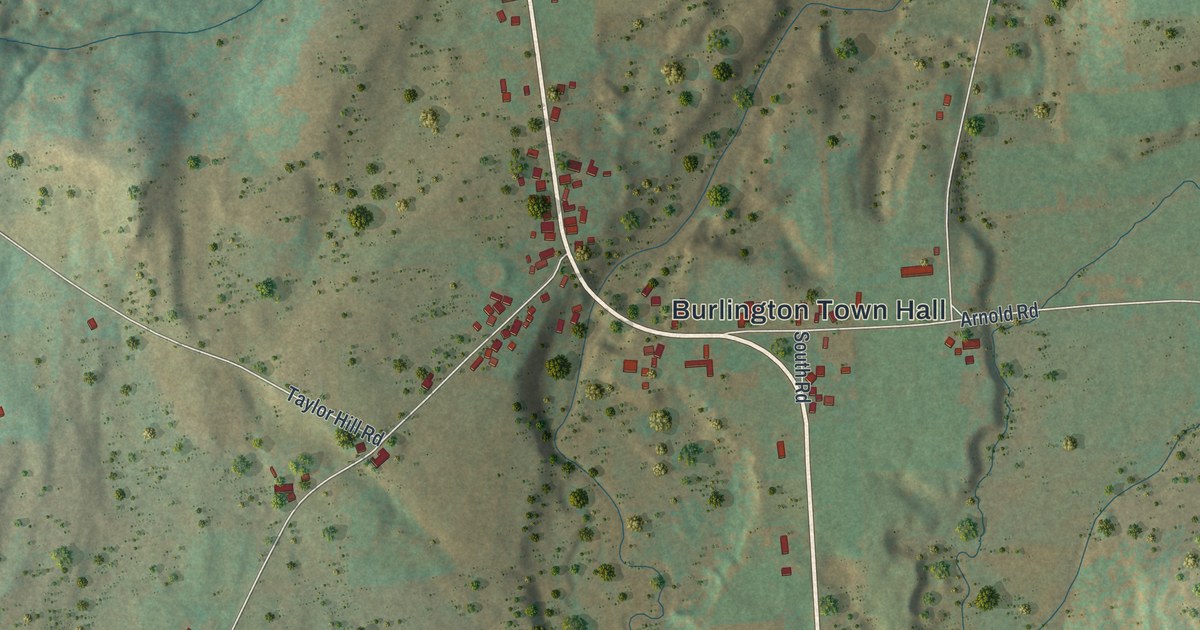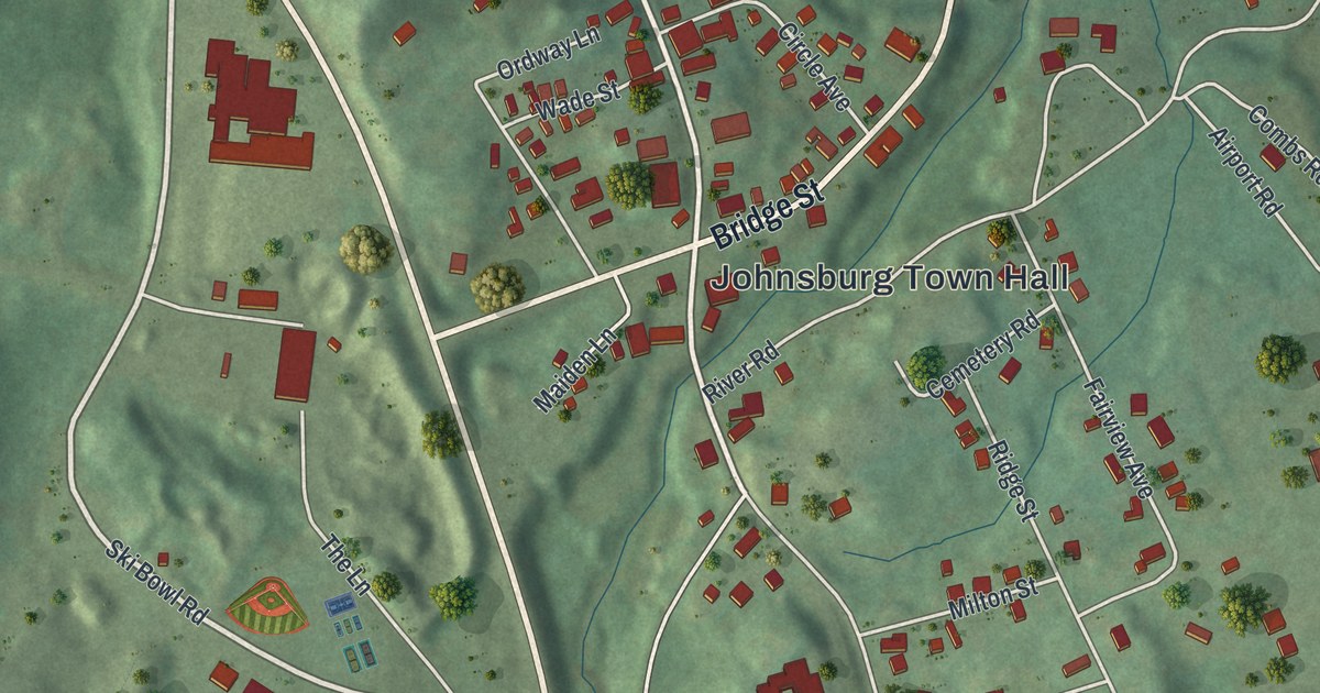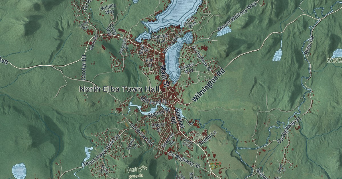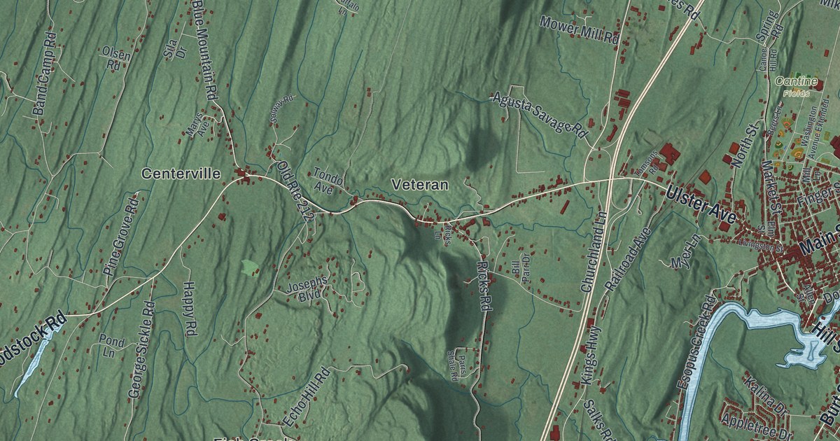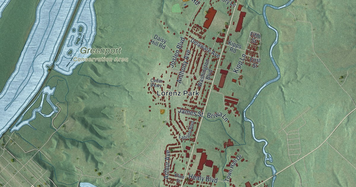
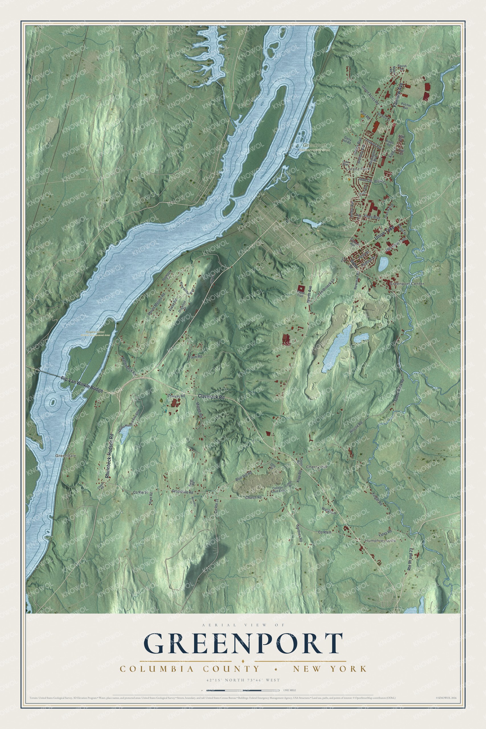
This beautifully detailed map of Greenport, Columbia County, New York was created in 2026 using aerial imagery combined with modern topographical, census, street and landmark data. It’s a one-of-a-kind view of Greenport that combines accurate data with a vintage aesthetic. The map shows every building in its true location, many of the roads carry their names, and the shaded topographic relief shows the shape of the land.
Explore an aerial view of Greenport, Columbia County, New York
On the map you’ll find Rip Van Winkle Bridge, Humphreysville, Greendale, Cherry Hill, Greenport Center, Lorenz Park, and Rogers Island Wildlife Management Area, along with Rhinebeck-Hudson Road, Claverack Road, Fairview Avenue, Union Turnpike, and more. If you look closely you can even find your house accurately drawn in its correct location. Zoom in on the preview to look for yours.
Did You Know?
Greenport became a town in 1837, formed from part of the city of Hudson. It was the last town created in Columbia County. Its southern part holds Olana, once the home of the artist Frederic Edwin Church. The house is decorated in a Persian style.
Take a closer look at the Greenport, Columbia County map
Names on this map
These names are printed on this map.
Places: Humphreysville, Greendale, Greenport Conservation Area, Rogers Island Wildlife Management Area, Cherry Hill, Greenport Center and Lorenz Park.
Streets and roads: Rhinebeck-Hudson Road, Claverack Road, Rip Van Winkle Bridge, Fairview Avenue, Union Turnpike, Church Road, Greendale Road, County Route 6, Newman Road, Yates Road, Hallenbeck Road, Kipp Lane.
More street names, A to Z
Alexandria Lane, Anthony Avenue, Appleton Lane, Arthur Avenue, Blue Hill Road, Bridge Street, Briwa Lane, Burgi Road, Cedar Parkway, Chapel Road, College Crest Ests, College Drive, Conway Road, County Route 14, County Route 31, Cross Road, Daisy Hill Road, Delaware Avenue, Dogwood Drive, Fabiano Boulevard, Farm Road, Fifth Street, Fingar Road, First Street, Frese Road, Gardner Road, Graham Avenue, Green Acres Road, Green Street, Guy Street, Hart Road, Healy Boulevard, Hickory Lane, Hiscox Road, Howe Road, Hudson Street, Industrial Tract, James Street, Janis Street, Joslen Boulevard, King Arthur Way, Kipp Road, Kipps Road, Kline Street, Mann Road, Middle Road, Mount Merino Road, Olana Historic Site Sthy, Otty Drive, Paul Avenue, Pulcher Avenue, Ravish Road, Spook Rock Road, Ten Broeck Lane, Town Hall Drive, Vapor Trail, Wards Lane, Washington Boulevard, Worth Avenue.
See it on a wall
The Greenport, Columbia County map as a framed print. Swipe for more.


This beautifully detailed map of Greenport, Columbia County makes an attractive addition to your office, library, or den, and it can even be used to teach children the geography and history of the area. It also makes a great gift for anyone with Greenport roots. When you’re done exploring, click here to get your copy of the Greenport, Columbia County map.