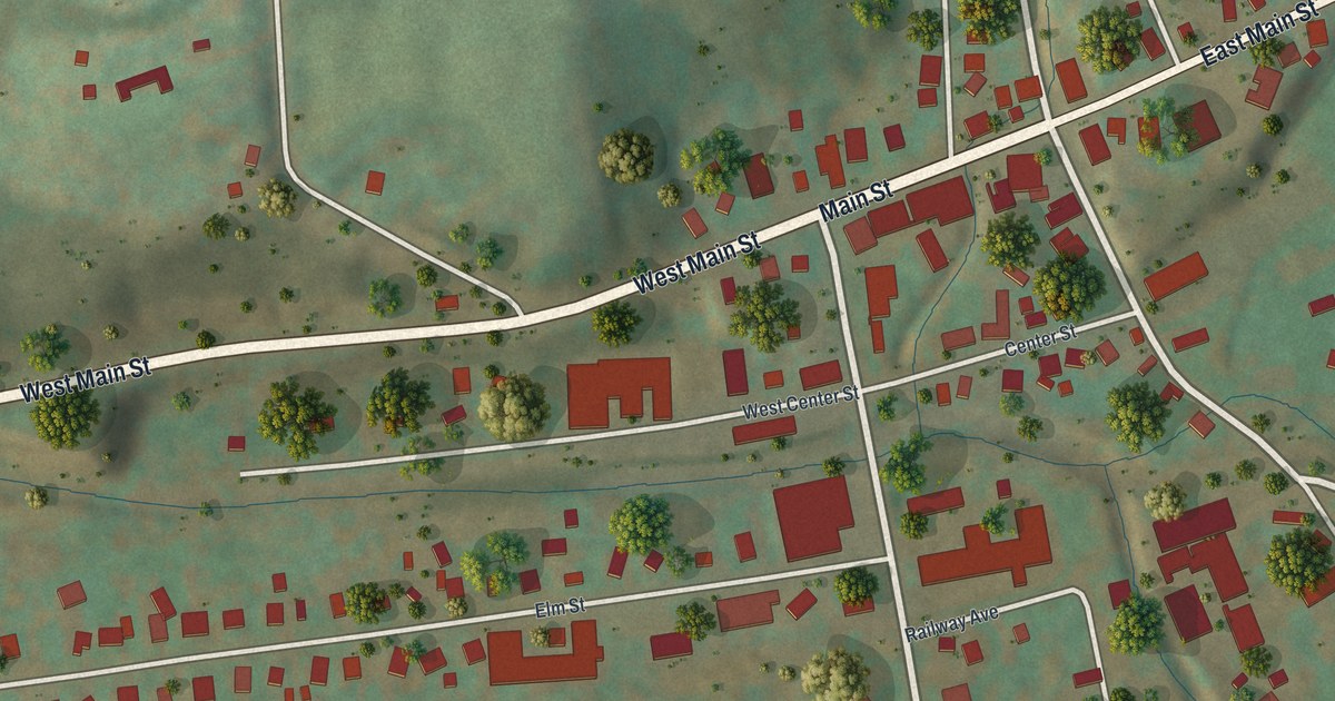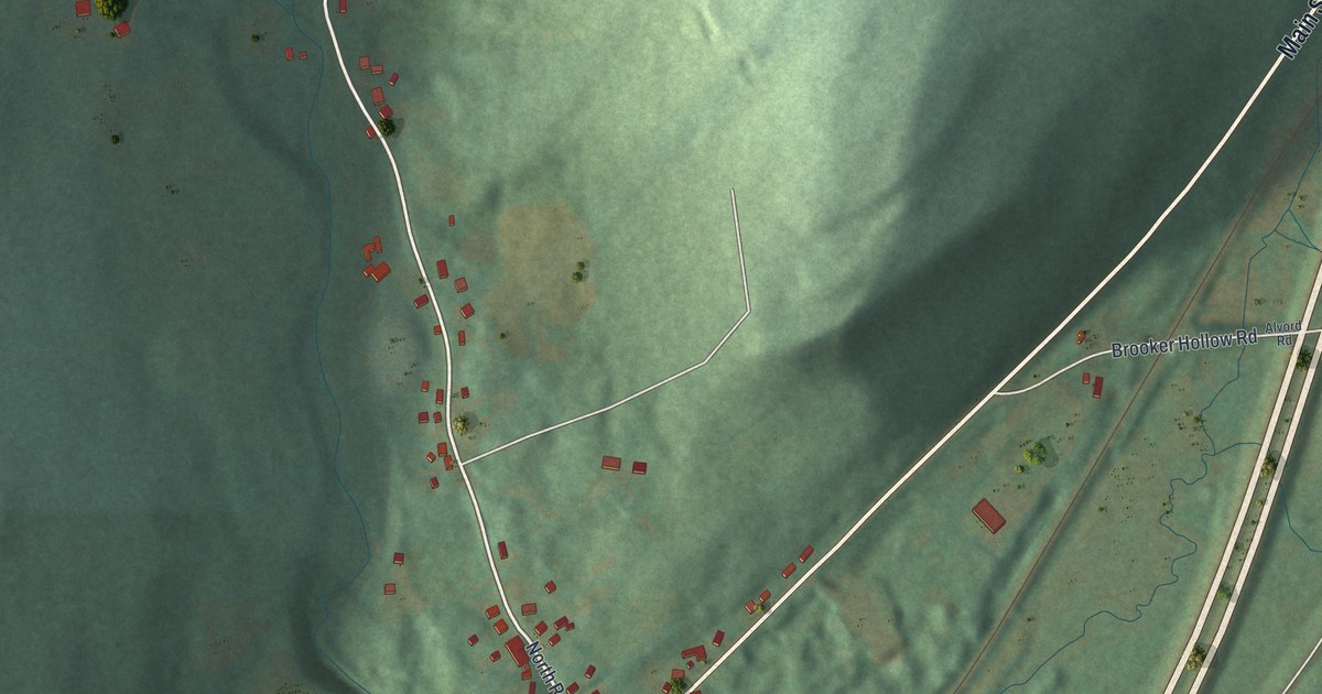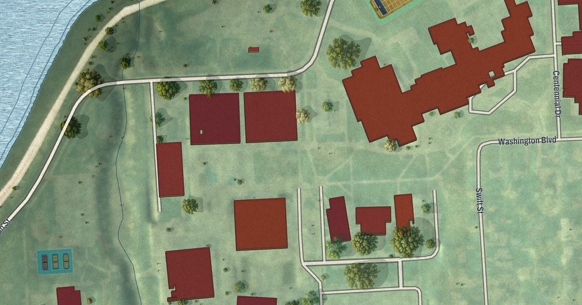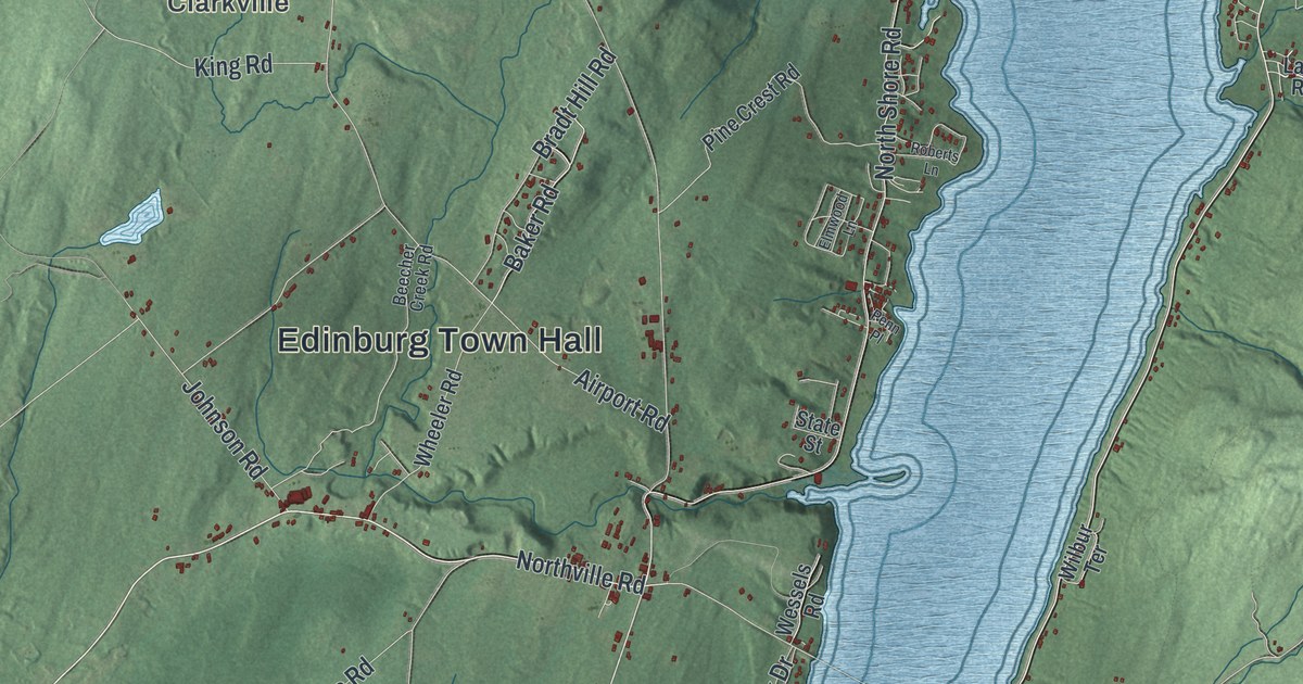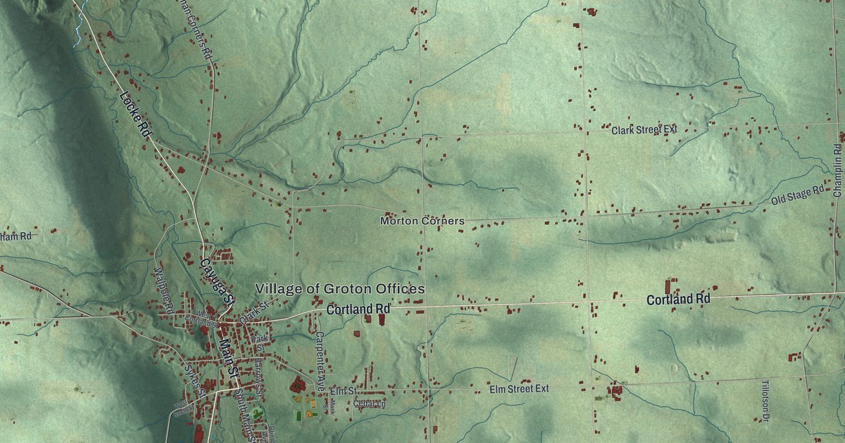
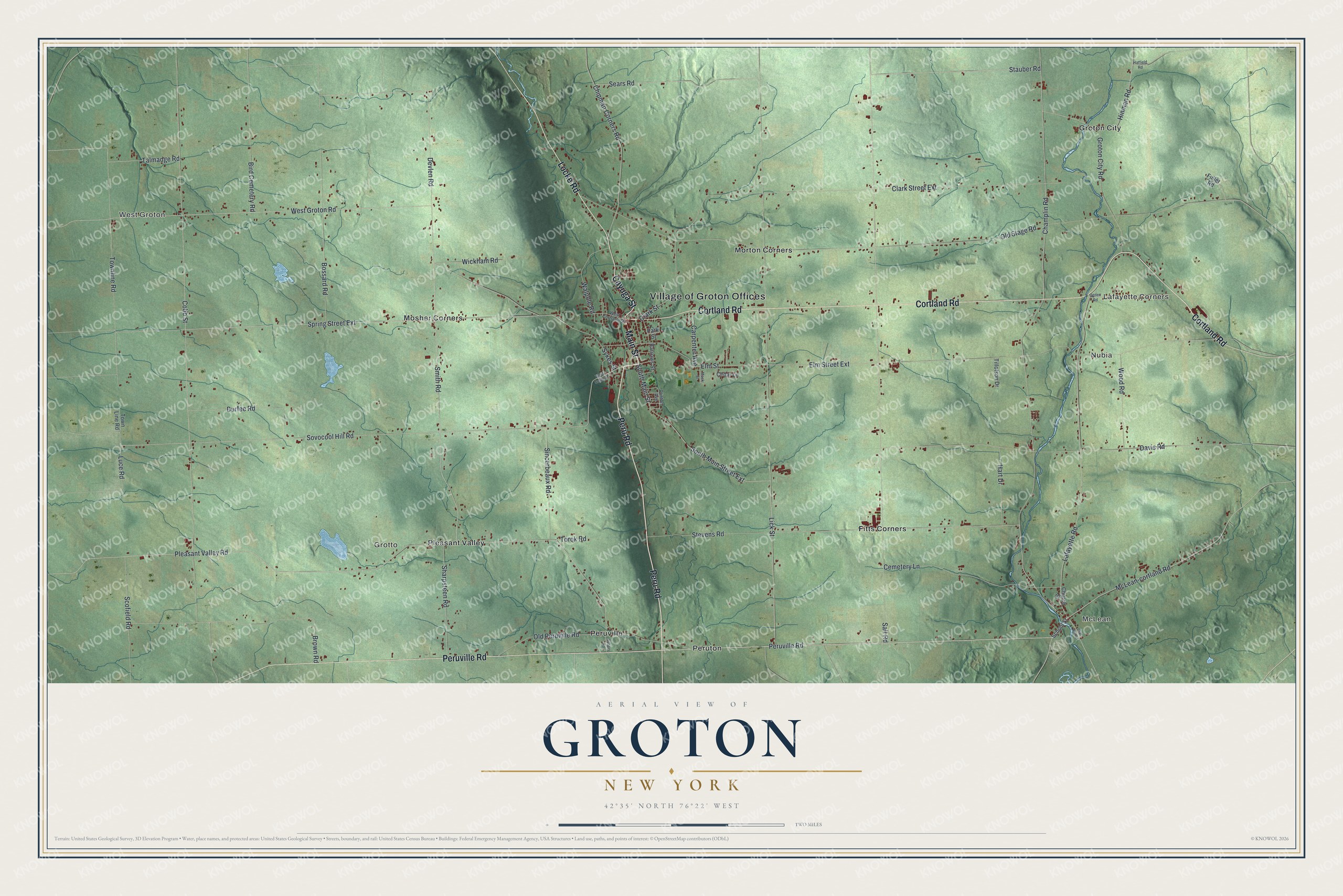
This beautifully detailed map of Groton, New York was created in 2026 using aerial imagery combined with modern topographical, census, street and landmark data. It’s a one-of-a-kind view of Groton that combines accurate data with a vintage aesthetic. The map shows every building in its true location, many of the roads carry their names, and the shaded topographic relief shows the shape of the land.
Explore an aerial view of Groton, New York
On the map you’ll find West Groton, McLean, Lafayette Corners, Nubia, and Grotto, along with Peru Road, Main Street, Cayuga Street, Locke Road, Cortland Road, and more. If you look closely you can even find your house accurately drawn in its correct location. Zoom in on the preview to look for yours.
Did You Know?
Groton was formed in 1817 out of the Town of Locke and was first called Division. Many early settlers had come from New England. They voted to rename the town Groton, after Groton in Massachusetts. The original Corona Typewriter Company also began here.
Take a closer look at the Groton map
Names on this map
These names are printed on this map.
Places: Village of Groton Offices, West Groton, McLean, Lafayette Corners, Nubia, Grotto, Fitts Corners, Groton City, Morton Corners, Mosher Corners, Peruton, Peruville and Pleasant Valley.
Streets and roads: Peru Road, Main Street, Cayuga Street, Locke Road, Cortland Road, Peruville Road, Sovocool Hill Road, Stauber Road, Hinman Road, McLean-cortland Road, South Main Street, Sears Road.
More street names, A to Z
Barrows Street, Bird Cemetery Road, Bossard Road, Brown Road, Carpenter Avenue, Cedar Lane, Cemetery Lane, Champlin Road, Chipman Corners Road, Church Street, Clark Street, Clark Street Extension, Clinton Avenue, Cobb Street, Davis Road, Devlen Road, Durfee Road, Elm Street, Elm Street Extension, Fuller Road, Groton City Road, Gulf Hill Road, Hart Drive, Hatfield Road, Lafayette Road, Lick Street, Luce Road, Mack Street, Ogden Road, Old Peruville Road, Old Stage Road, Park Street, Pleasant Valley Road, Salt Road, School Street, Scofield Road, Sharpsteen Road, Sincerbeaux Road, Smith Road, Sobers Road, South Main Street Extension, Spring Street Extension, Stevens Road, Sykes Street, Talmadge Road, Tillotson Drive, Torok Road, Townline Road, Town Line Road, Walpole Road, West Cortland Street, West Groton Road, West South Street, Wickham Road, Wood Road.
See it on a wall
The Groton map as a framed print. Swipe for more.


This beautifully detailed map of Groton makes an attractive addition to your office, library, or den, and it can even be used to teach children the geography and history of the area. It also makes a great gift for anyone who grew up in Groton or moved away. When you’re done exploring, click here to get your copy of the Groton map.