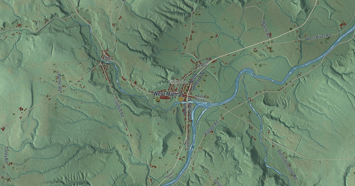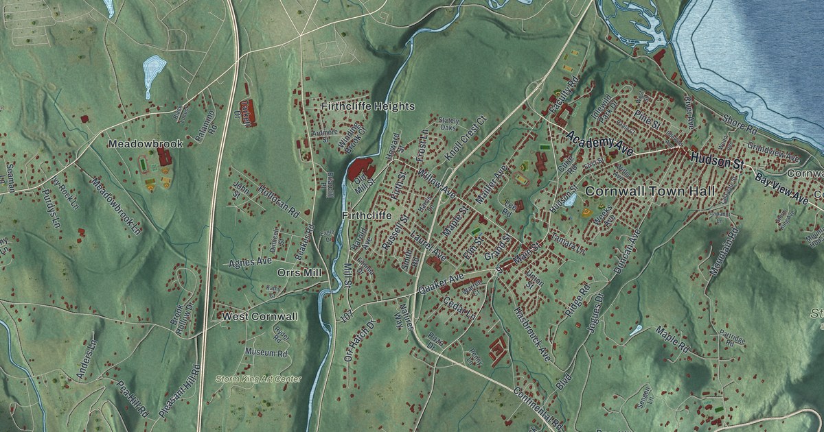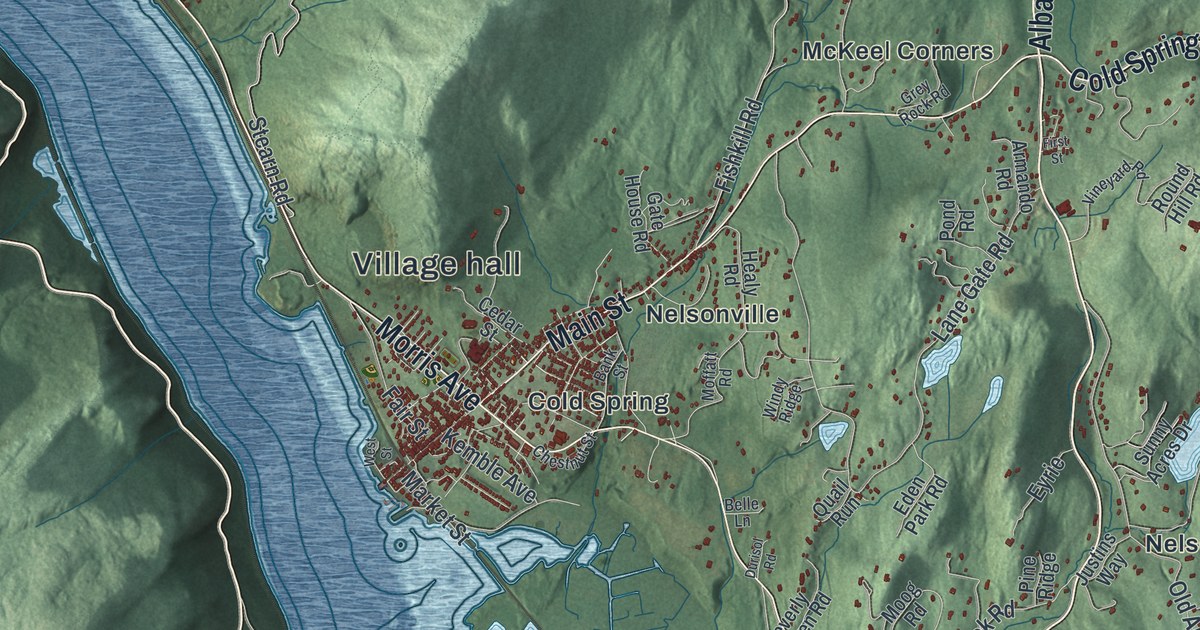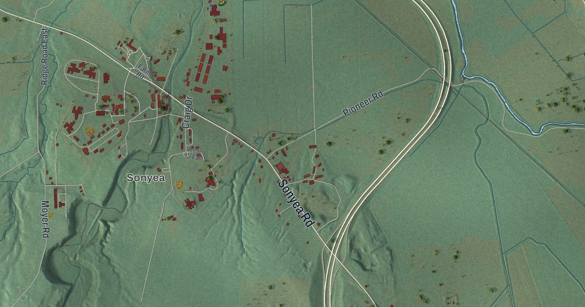
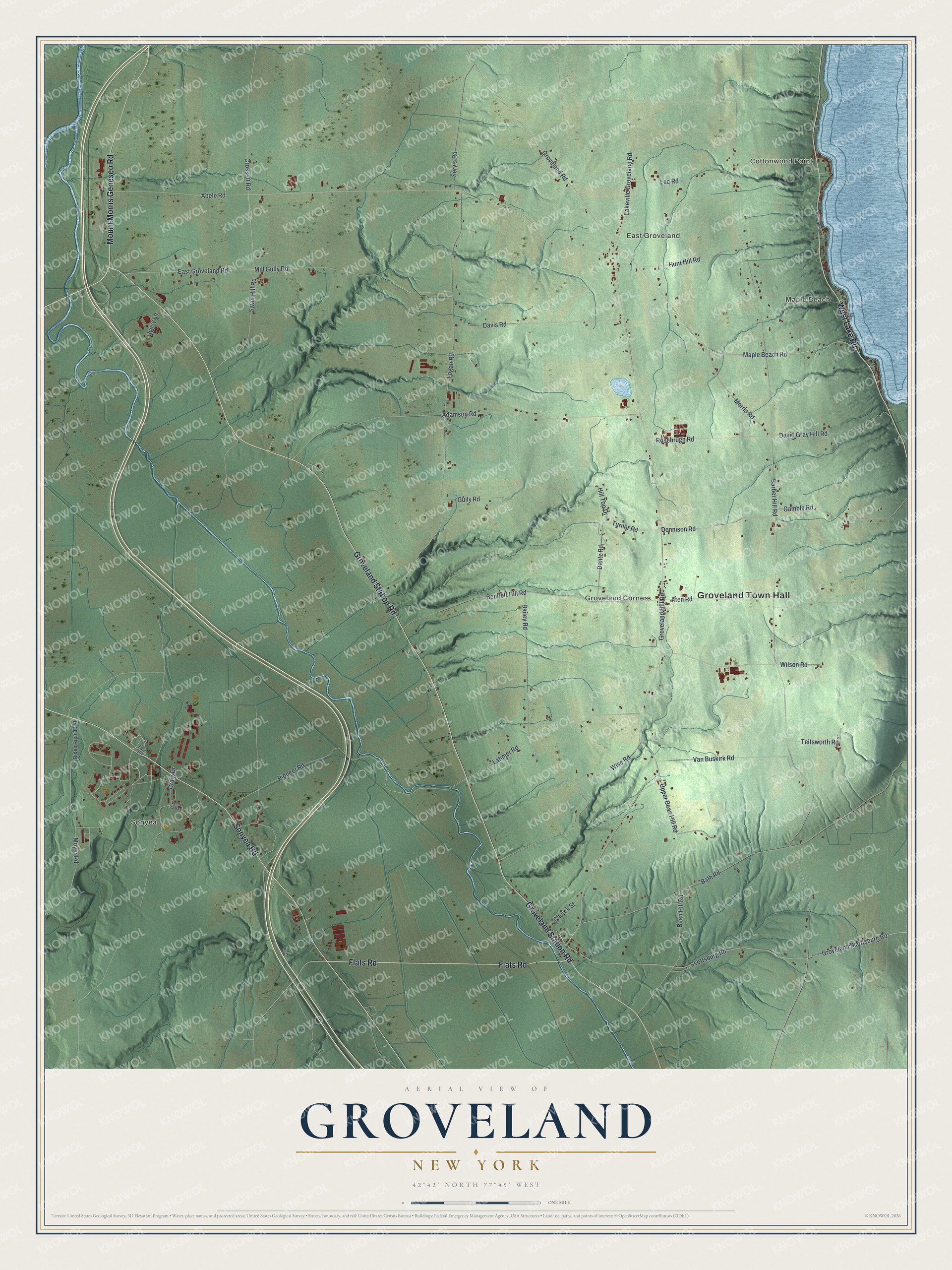
This beautifully detailed map of Groveland, New York was created in 2026 using aerial imagery combined with modern topographical, census, street and landmark data. It’s a one-of-a-kind view of Groveland that combines accurate data with a vintage aesthetic. The map shows every building in its true location, many of the roads carry their names, and the shaded topographic relief shows the shape of the land.
Explore an aerial view of Groveland, New York
On the map you’ll find Groveland Town Hall, Cottonwood Point, Maple Beach, Sonyea, East Groveland, and Groveland Corners, along with Groveland Station Road, Sonyea Road, Lake Road, Flats Road, and more. If you look closely you can even find your house accurately drawn in its correct location. Zoom in on the preview to look for yours.
Did You Know?
In 1836, Shakers moved from Sodus to a 1,700-acre farm at Sonyea in Groveland. That year their village reached its peak of 148 members. As membership fell, they sold the land in 1892 and moved to Watervliet. Their buildings became the Craig Colony in 1896 and now belong to the Groveland Correctional Facility.
Take a closer look at the Groveland map
Names on this map
These names are printed on this map.
Places: Groveland Town Hall, Cottonwood Point, Maple Beach, Sonyea, East Groveland and Groveland Corners.
Streets and roads: Groveland Station Road, Sonyea Road, West Lake Road, Flats Road, Mount Morris Geneseo Road, Craig Drive, Pioneer Road, Bean Hill Road, Bath Road, Barber Hill Road, Turner Road, Groveland Hill Road.
More street names, A to Z
Abele Road, Adamson Road, Aten Road, Bailey Road, Bennett Hill Road, Church Street, Crossett Road, Dantz Road, David Gray Hill Road, Davis Road, Dennison Road, East Groveland Road, Farm Road, Gamble Road, Groveland Road, Groveland Scottsburg Road, Gully Road, Gypsy Lane, Hill Top Drive, Hunt Hill Road, Lakeville Groveland Road, Latimer Road, Lee Road, Logan Road, Maple Beach Road, Mill Gully Road, Morris Road, Moyer Road, Ridge Road East, Rosebrugh Road, Scottsburg Road, Servis Road, Sutton Point North, Swan Hill Road, Teitsworth Road, Upper Bean Hill Road, Van Buskirk Road, Veeder Cr East, Wilson Road, Wise Road.
See it on a wall
The Groveland map as a framed print. Swipe for more.


This beautifully detailed map of Groveland makes an attractive addition to your office, library, or den, and it can even be used to teach children the geography and history of the area. It also makes a great gift for anyone with Groveland roots. When you’re done exploring, click here to get your copy of the Groveland map.