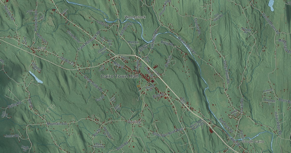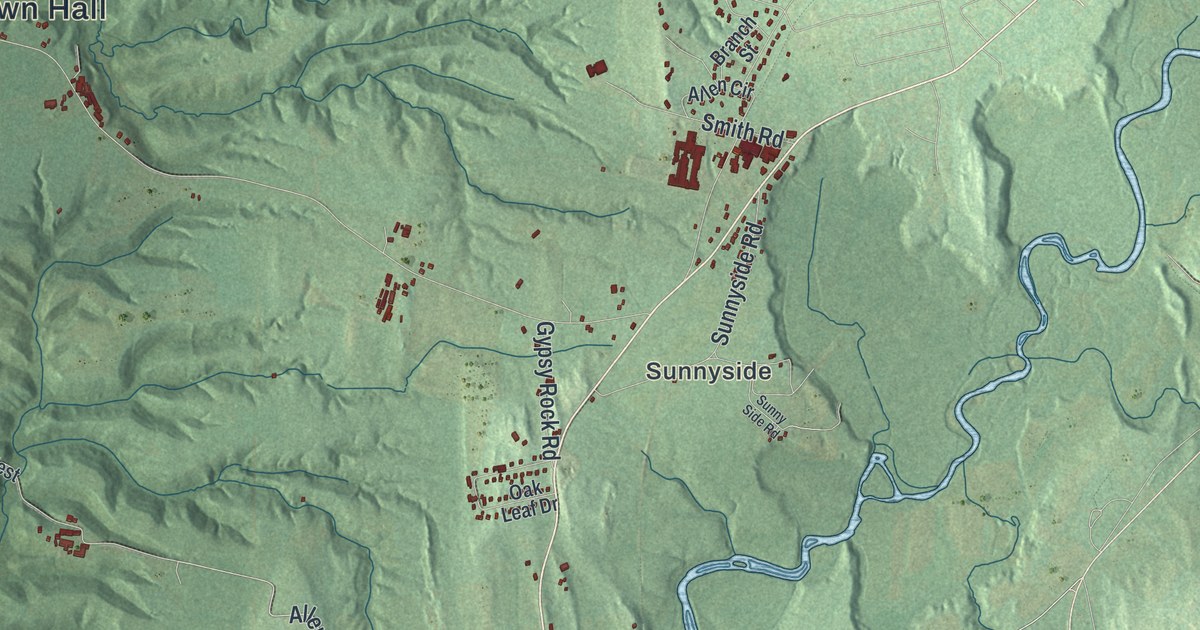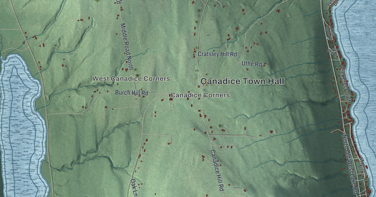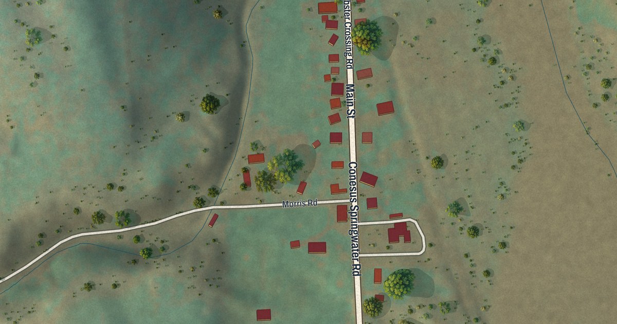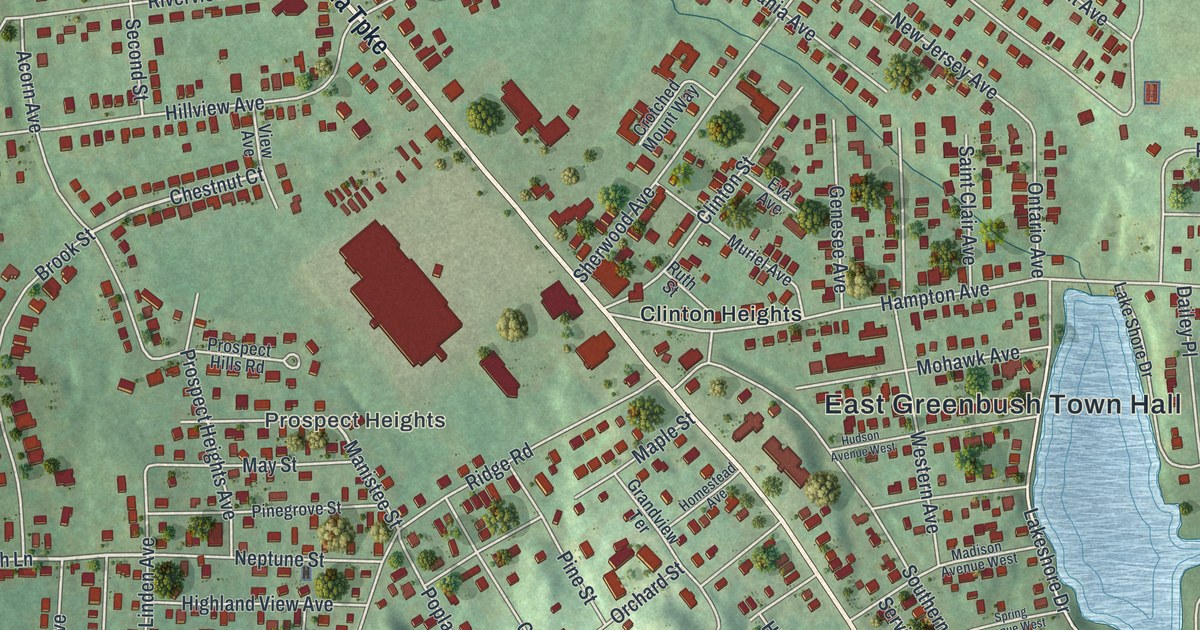
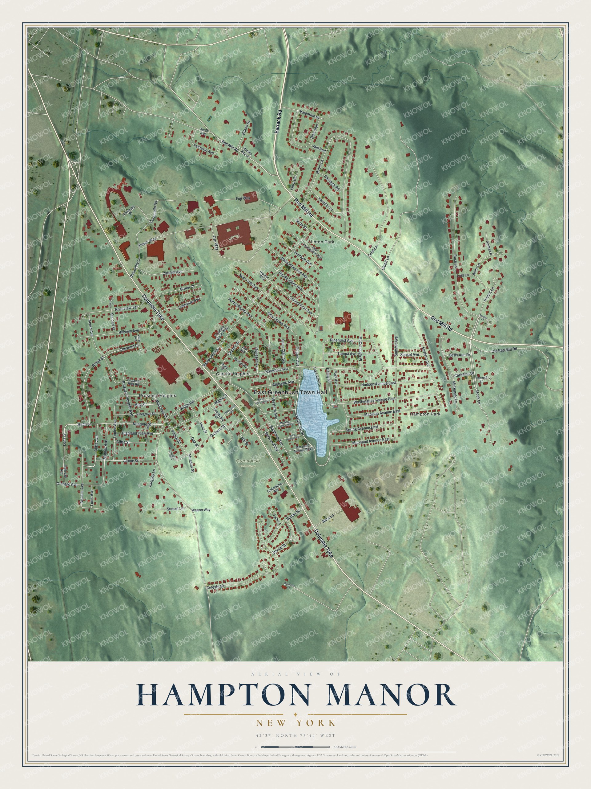
This beautifully detailed map of Hampton Manor, New York was created in 2026 using aerial imagery combined with modern topographical, census, street and landmark data. It’s a one-of-a-kind view of Hampton Manor that combines accurate data with a vintage aesthetic. The map shows every building in its true location, many of the roads carry their names, and the shaded topographic relief shows the shape of the land.
Explore an aerial view of Hampton Manor, New York
On the map you’ll find East Greenbush Town Hall, Prospect Heights, Clinton Park, Hampton Park, Clinton Heights, and Greenbush Cemetery, along with Barrack Road, Columbia Turnpike, Red Mill Road, Stock Lane, and more. If you look closely you can even find your house accurately drawn in its correct location. Zoom in on the preview to look for yours.
Did You Know?
Hampton Manor grew up as a suburb of Rensselaer and Albany in the town of East Greenbush. Many of its houses came as kits. Families ordered them from the Sears Roebuck and Montgomery Ward catalog companies.
Take a closer look at the Hampton Manor map
Names on this map
These names are printed on this map.
Places: East Greenbush Town Hall, Prospect Heights, Clinton Park, Hampton Park, Greenbush Cemetery and Clinton Heights.
Streets and roads: Barrack Road, Columbia Turnpike, Red Mill Road, Stock Lane, Robert Lane, Alpine Street, Lona Lane, Cliffe Street, Birch Lane, Chestnut Court, Manistee Street, Celeste Drive.
More street names, A to Z
Acorn Avenue, Aiken Avenue, Alice Lane, Arcadia Avenue, Barber Drive, Bass Lane, Betty Ann Drive, Brook Street, Bruen Court, Carpinello Road, Carriage Road, Catskill Avenue, Christina Drive, Cliffe Avenue, Clinton Street, Connecticut Avenue, Crotched Mount Way, Csc Way, Dailey Place, Daniel Street, Deer Run, Discovery Lane, Eastern Avenue, Eileen Drive, Eva Avenue, Fairlawn Avenue, Faith Lane, Flora Circle, Fuji Way, Garden Way, Genesee Avenue, Grandview Terrace, Hampton Avenue, Heather Lane, Highland View Avenue, Hill Street, Hillview Avenue, Homestead Avenue, Hudson Avenue East, Hudson Avenue West, Jessica Lane, Lakeshore Drive, Lake Shore Drive, Lakeview Avenue, Langley Lane, Linden Avenue, Lois Lane, Lunis Avenue, Madison Avenue East, Madison Avenue West, Maple Street, Maryland Avenue East, Maryland Avenue West, Massachusetts Avenue, May Street, McCullough Place, McDonald Lane, Meadow Street, Meagan Lane, Mill Run, Mohawk Avenue, Moulds Avenue, Muriel Avenue, Neptune Street, New Hampshire Avenue, New Jersey Avenue, New York Avenue, Oak Street, Olcott Lane, Old Red Mill Road, Onderdonk Avenue, Ontario Avenue, Orchard Avenue, Orchard Street, Oriel Lane, Park Avenue, Pennsylvania Avenue, Pinegrove Street, Pinehurst Avenue, Pine Street, Poplar Street, Power Way, Prospect Heights Avenue, Prospect Hills Road, Prospect Way, Railroad Avenue, Rhode Island Avenue, Ridge Road, Riverview Terrace, Robin Lane, Rose Lane, Ruth Street, Saint Clair Avenue, Second Street, Service Alley, Sherwood Avenue, Siena Lane, Southern Avenue, Spring Avenue East, Spring Avenue West, State Street, Stephie Ray Lane, Summit Avenue, Sunset Avenue, Sunset Lane, Tampa Avenue, Theresa Lane, University Place, Valentine Drive, Vermont Avenue, View Avenue, Wagner Way, Washington Avenue East, Western Avenue, Worthman Lane.
See it on a wall
The Hampton Manor map as a framed print. Swipe for more.


This beautifully detailed map of Hampton Manor makes an attractive addition to your office, library, or den, and it can even be used to teach children the geography and history of the area. It also makes a great gift for anyone with Hampton Manor roots. When you’re done exploring, click here to get your copy of the Hampton Manor map.