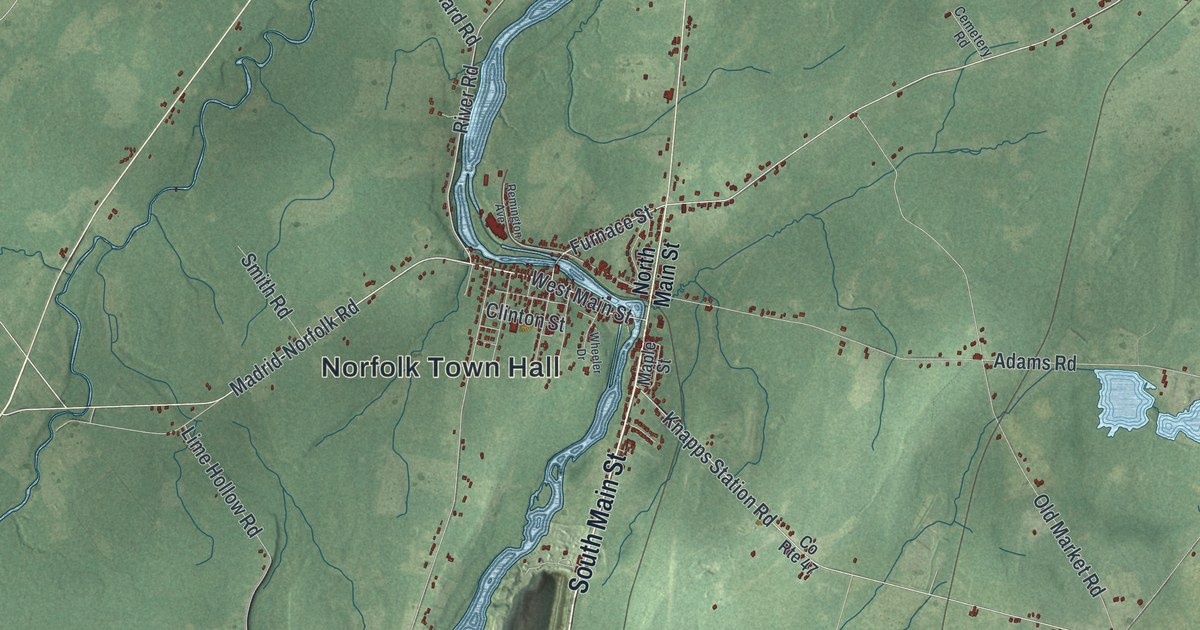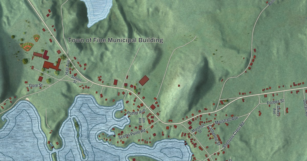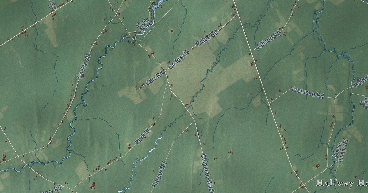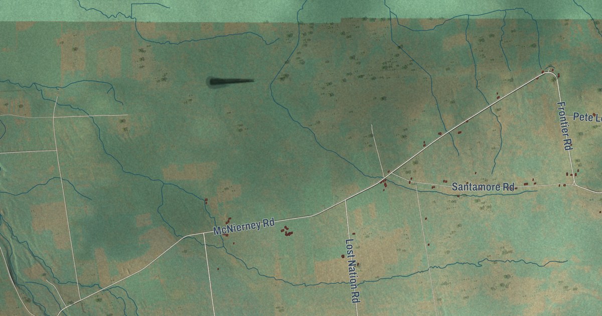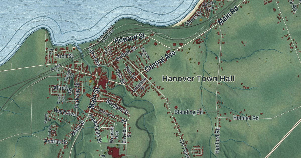
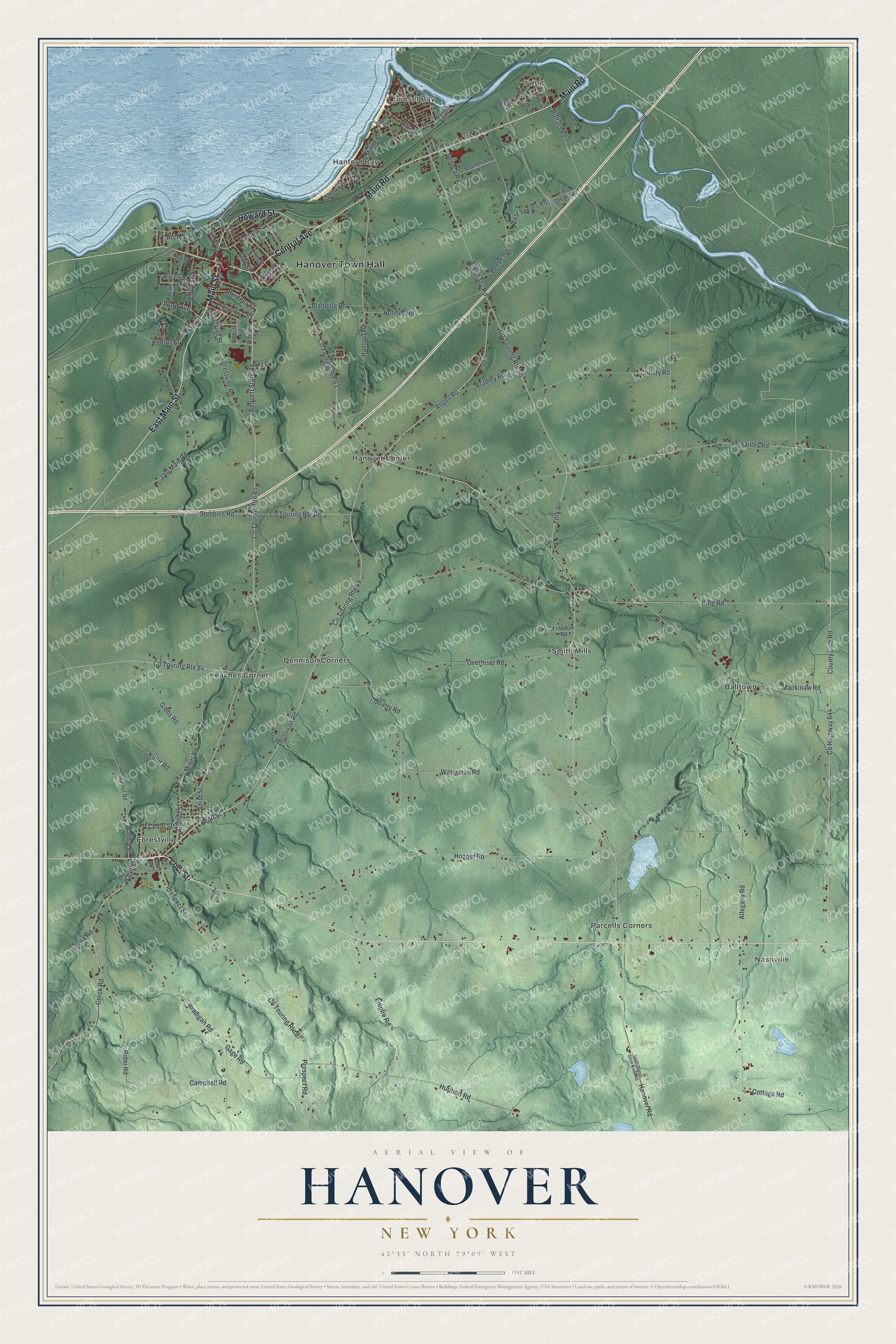
This beautifully detailed map of Hanover, New York was created in 2026 using aerial imagery combined with modern topographical, census, street and landmark data. It’s a one-of-a-kind view of Hanover that combines accurate data with a vintage aesthetic. The map shows every building in its true location, many of the roads carry their names, and the shaded topographic relief shows the shape of the land.
Explore an aerial view of Hanover, New York
On the map you’ll find Hanover Town Hall, Irving, Sunset Bay, Hanford Bay, Nashville, and Balltown, along with Main Street, Central Avenue, Main Road, Howard Street, and more. If you look closely you can even find your house accurately drawn in its correct location. Zoom in on the preview to look for yours.
Did You Know?
In 1836 the Irving Company planned a trading town where Cattaraugus Creek meets the lake. Its backers wanted the new Erie railroad from New York to end there. The line picked Dunkirk instead. The company split up its land in 1845, and the hoped-for port city never came to be.
Take a closer look at the Hanover map
Names on this map
These names are printed on this map.
Places: Hanover Town Hall, Irving, Sunset Bay, Hanford Bay, Nashville, Balltown, Dennison Corners, Forestville, Hanover Center, Keaches Corners, Parcells Corners and Smith Mills.
Streets and roads: Main Street, Central Avenue, Main Road, Howard Street, East Main Street, Lodi Street, Dennison Road, Angell Road, Pearl Street, Center Street, Bennett State Road, Co Touring Route 89.
More street names, A to Z
Alfred Drive, Allegany Road, Alleghany Road, Andrus Circle, Andrus Street, Ann Street, Arch Street, Barone Drive, Beebe Road, Blanding Road, Bradigan Road, Bradley Road, Buffalo Road, Buffalo Street, Burgess Street, Campbell Road, Cayuga Drive, Cedar Street, Christy Road, Co Touring Route 84, Co Touring Route 85, Co Touring Route 86, Co Touring Route 87, Co Touring Route 93, Co Touring Route 95, Cottage Road, County Highway 644, County Line Road, Creek Road, Division Street, Dixie Avenue, Drake Avenue, East Spears Road, Elm Street, Empire Road, Erie Street, Forestville Road, Forestville Street, Freedom Road, Gage Road, Gibbs Road, Hanford Road, Hanover Road, Hillview Drive, Holmes Road, Hopper Road, Hurlbert Road, Iola Drive, Jackson Street, King Road, Kuhrt Road, Lafayette Street, Lake Avenue, Lake Avenue Extended, Laona Road, Lee Place, Mackinaw Road, Middle Street, Mixer Road, Mott Road, Oak Street, Old Hanover Road, Old Main Road, Ontario Road, Overhiser Road, Park Street, Parkway Street, Porter Avenue, Prospect Road, Prospect Street, Quarry Road, Rider Road, Robert Drive, Robinson Street, Seneca Road, Shady Lane, Shore Drive, South Dayton Silver Creek Road, Southerland Road, Stebbins Road, Stewart Avenue, Summit Street, Third Street, Triangle Drive, Versailles Road, Walnut Road, Walnut Street, Ward Avenue, Waterman Road, Water Street, Webster Avenue, West Spears Road, York Road.
See it on a wall
The Hanover map as a framed print. Swipe for more.


This beautifully detailed map of Hanover makes an attractive addition to your office, library, or den, and it can even be used to teach children the geography and history of the area. It also makes a great gift for anyone with Hanover roots. When you’re done exploring, click here to get your copy of the Hanover map.