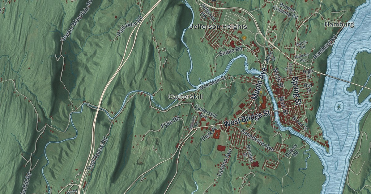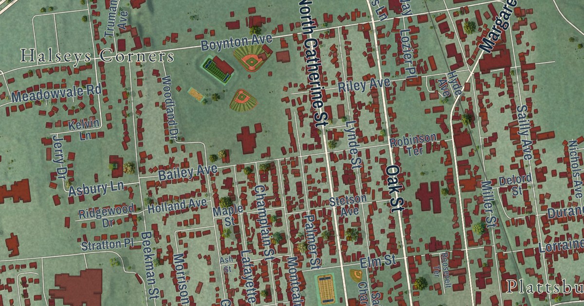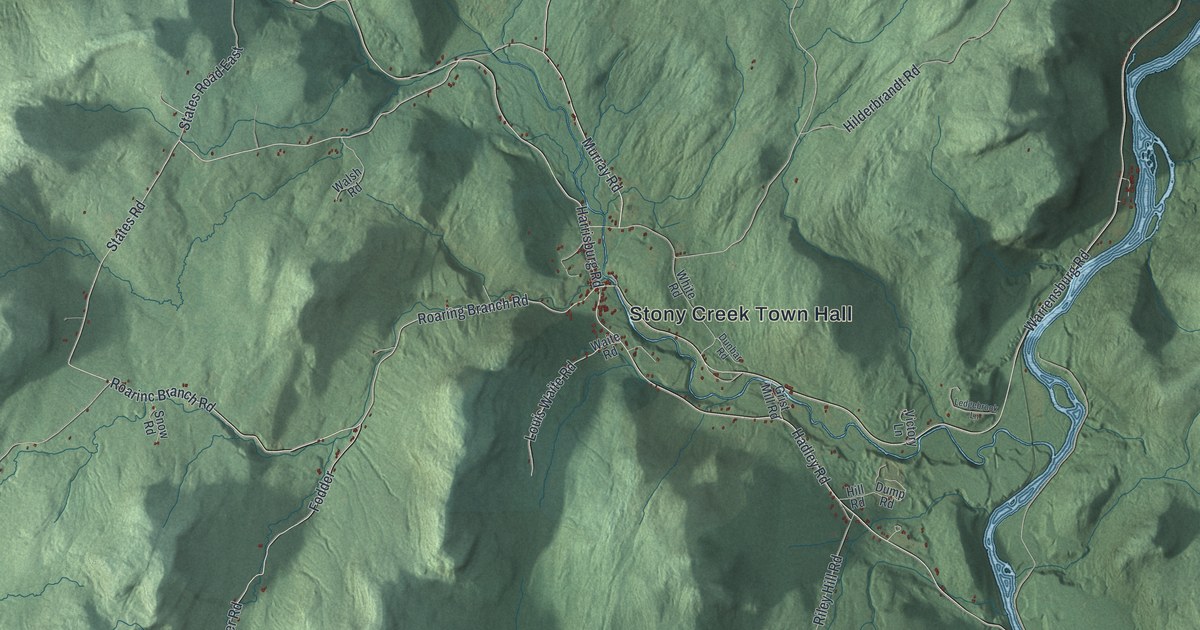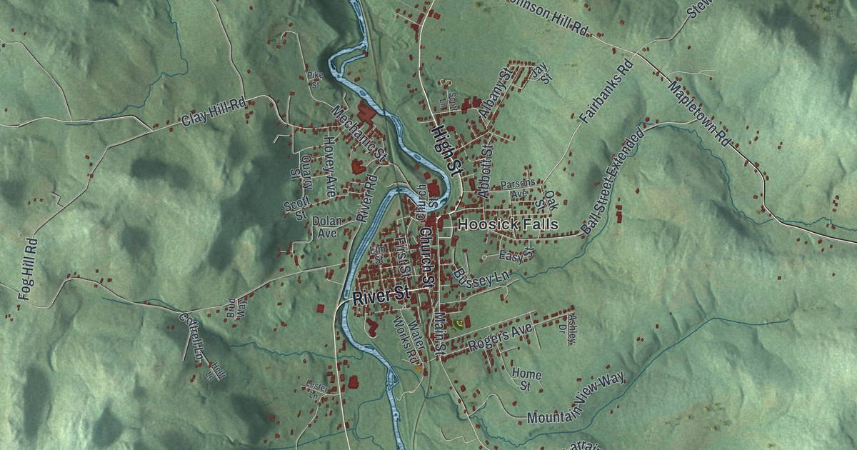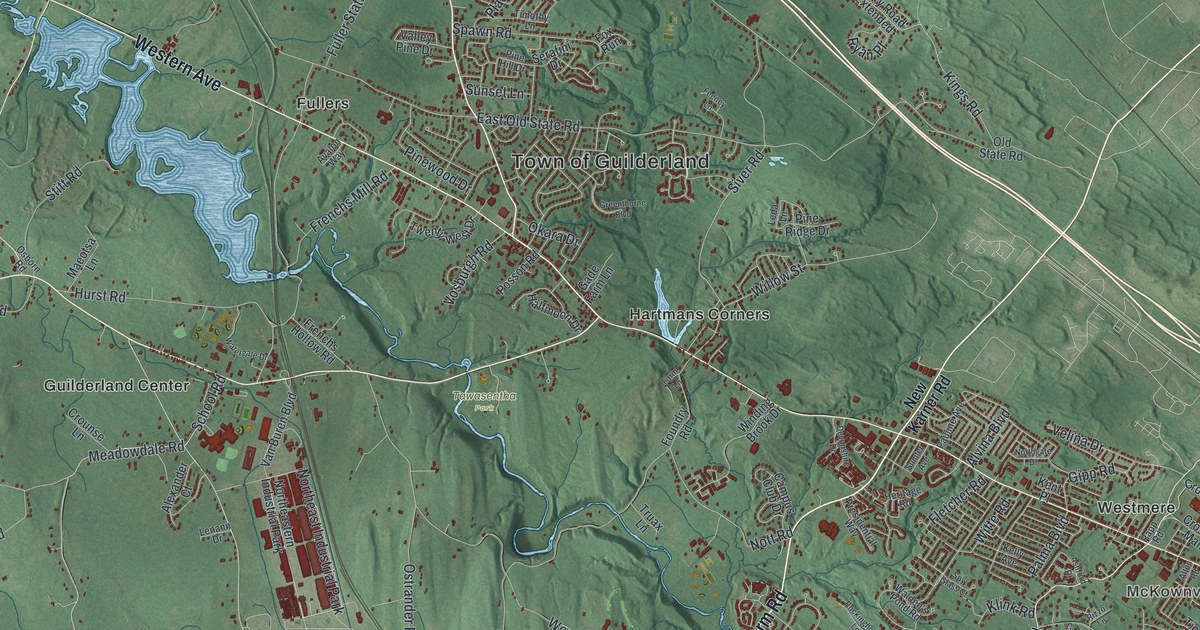
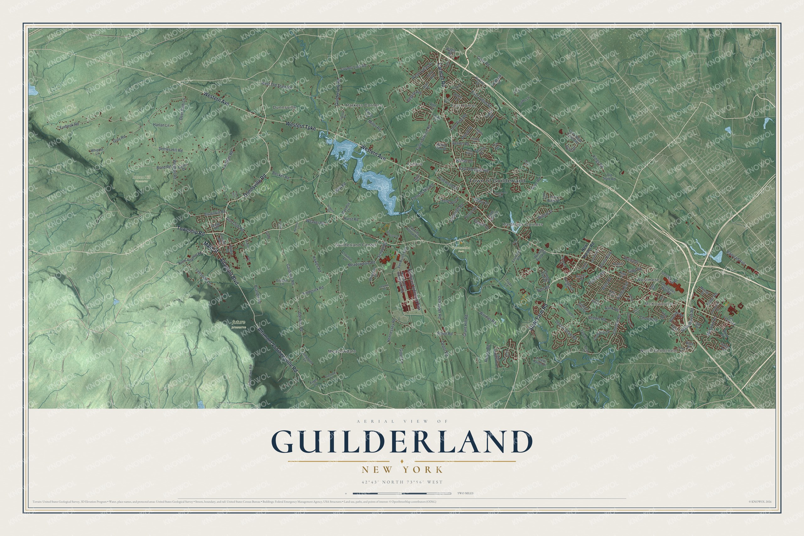
This beautifully detailed map of Guilderland, New York was created in 2026 using aerial imagery combined with modern topographical, census, street and landmark data. It’s a one-of-a-kind view of Guilderland that combines accurate data with a vintage aesthetic. The map shows every building in its true location, many of the roads carry their names, and the shaded topographic relief shows the shape of the land.
Explore an aerial view of Guilderland, New York
On the map you’ll find North Bethlehem, McKownville, Dunnsville, Fort Hunter, Fullers, Bozen Kill Preserve, Tawasentha Park, and future preserve, along with Western Avenue, Dunnsville Road, Township Road, Main Street, Western Turnpike, and more. If you look closely you can even find your house accurately drawn in its correct location. Zoom in on the preview to look for yours.
Did You Know?
Guilderland became its own town in 1803, split off from Watervliet. Its name was suggested by resident Jeremiah Van Rensselaer, then the state’s Lieutenant Governor. His family and many early settlers had come from Gelderland, a Dutch province. The town took its name from that homeland.
Take a closer look at the Guilderland map
Names on this map
These names are printed on this map.
Places: Town of Guilderland, North Bethlehem, McKownville, Bozen Kill Preserve, Tawasentha Park, Dunnsville, Fort Hunter, Fullers, Guilderland Center, Hartmans Corners, Meadowdale, Parkers Corners, Westmere, Northeast Industrial Park and Northeastern Industrial Park.
Streets and roads: Western Avenue, Dunnsville Road, State Farm Road, Township Road, Main Street, Western Turnpike, Carman Road, Altamont Voorheesville Road, Altamont Boulevard, Johnston Road, McKown Road, Furbeck Road.
More street names, A to Z
Alexa Lane, Alexander Court, Alton Road, Alvina Boulevard, Arlington Street, Ashford Drive, Avalon Way, Becker Road, Belleview Drive, Berne-Altamont Road, Birch Drive, Bond Road, Bozenkill Road, Brandle Road, Brewer Lane, Campus Club Drive, Chandler Road, Church Road, Compound Lane, Coons Road, County Line Road, Crossgates Mall Road, Crossgates Road, Crounse Lane, Cullen Drive, Curry Road, Curry Road Extended, Deer Path Lane, Depot Road, Devonshire Drive, Dibella Street, Dobie Lane, Doctor Shaw Road, East Lydius Street, East Old State Road, Empire Avenue, Ersham Lane, Evelyn Drive, Ewing Lane, Farm Lane, Farnsworth Drive, Feeney Lane, Fletcher Road, Forest Haven Drive, Foundry Road, Fox Run, Franklin Lane, Frederick Road, Frenchs Hollow Road, Frenchs Mill Road, Fryer Lane, Fuller Road, Fuller Station Road, Gade Farm Lane, Gardener Road, Gardner Road, Gipp Road, Gipps Lane, Gi Road, Glenwood Street, Grand Street, Grant Hill Road, Gray Road, Greenthorne Boulevard, Gregg Road, Guilderland Road, Gun Club Road, Hales Cave Road, Halfmoon Drive, Harlan Lane, Hawes Road, Hembold Drive, Hennessey Road, Henry Street, Heritage Road, Hickory Drive, Hurst Road, Ivaloo Avenue, Jean Place, Kaine Drive, Kelly Avenue, Kelly Circle, Kent Place, Kings Road, Klink Road, Lainhart Road, Laska Lane, Leda Lane, Leesome Lane, Lenann Drive, Lincoln Avenue, Lone Pine Road, Maeotsa Lane, Meadowdale Road, Mercer Street, Miller Road, Mynderse Lane, New Karner Road, Northgate Drive, Nott Road, Oak Drive, Okara Drive, Old State Road, Osborn Road, Ostrander Road, Overlook Lane, Palma Boulevard, Pauline Avenue, Pine Hill Drive, Pine Ridge Drive, Pinewood Drive, Placid Drive, Pond Hill Lane, Posson Road, Presidential Way, Prout Lane, Railroad Avenue, Rapp Road, Relyea Road, Rizzo Lane, Rockinghorse Lane, Ryan Place, Schoolhouse Road, School Road, Serafini Drive, Settles Hill Road, Siver Road, Spawn Road, Springfield Drive, Spy Glass Court, Stitt Road, Stonebriar Drive, Stone Road, Sumter Avenue, Sunset Lane, Suny Campus Road, Tate Drive, Terry Avenue, Tice Road, Timothy Lane, Traber Road, Truax Lane, Twenty West Drive, Upper Wedgewood Lane, Valley Pine Drive, Van Buren Boulevard, Veeder Road, Velina Drive, Vine Lane, Vosburgh Road, Walden's Pond Road, Watergate Drive, Wayto Road, Weaver Road, Westfall Road, West Lydius Street, West Old State Road, Whippet Lane, Willow Street, Winding Brook Drive, Witte Road, Woodlake Road, Wood Street, Wormer Road.
See it on a wall
The Guilderland map as a framed print. Swipe for more.


This beautifully detailed map of Guilderland makes an attractive addition to your office, library, or den, and it can even be used to teach children the geography and history of the area. It also makes a great gift for anyone who grew up in Guilderland or moved away. When you’re done exploring, click here to get your copy of the Guilderland map.