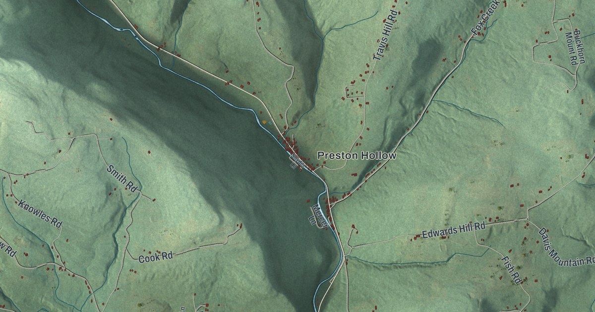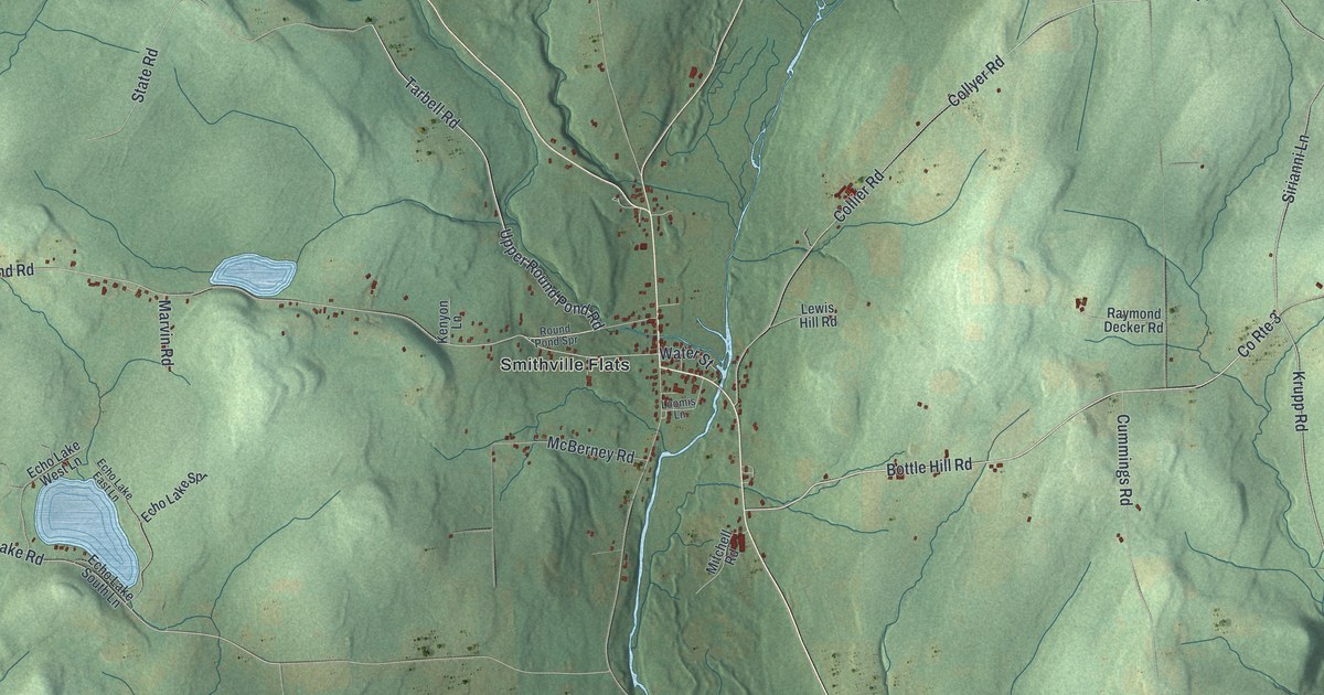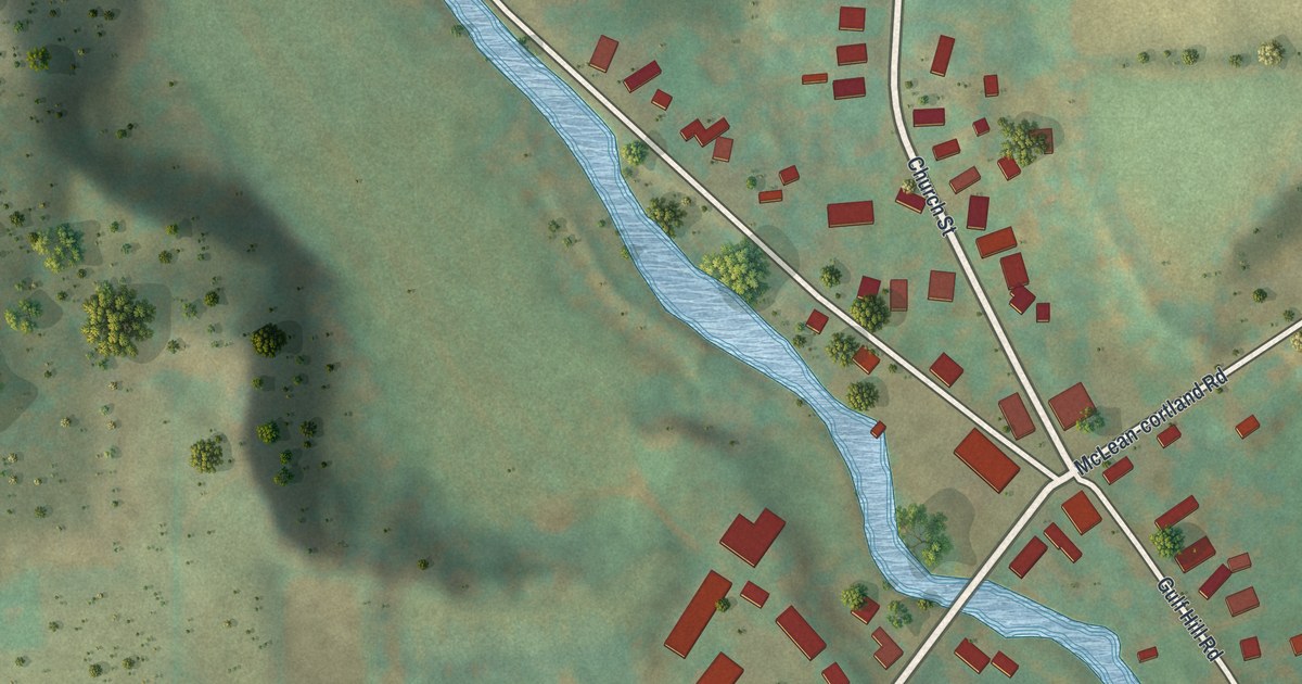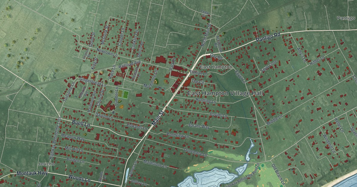
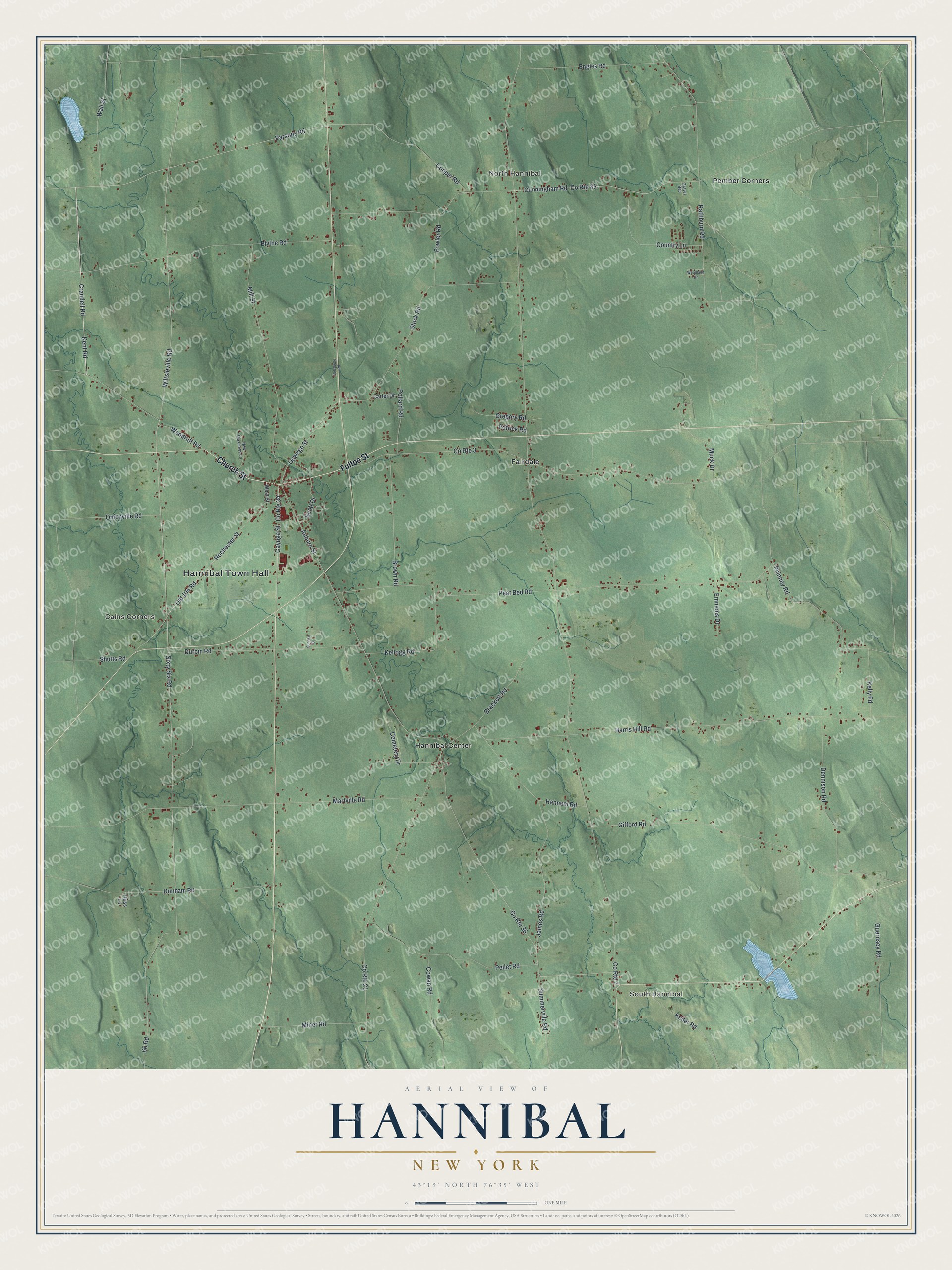
This beautifully detailed map of Hannibal, New York was created in 2026 using aerial imagery combined with modern topographical, census, street and landmark data. It’s a one-of-a-kind view of Hannibal that combines accurate data with a vintage aesthetic. The map shows every building in its true location, many of the roads carry their names, and the shaded topographic relief shows the shape of the land.
Explore an aerial view of Hannibal, New York
On the map you’ll find Hannibal Town Hall, North Hannibal, South Hannibal, Cains Corners, Fairdale, and Hannibal Center, along with Fulton Street, Church Street, Crandell Road, Kent Road, and more. If you look closely you can even find your house accurately drawn in its correct location. Zoom in on the preview to look for yours.
Did You Know?
Hannibal takes its name from the great general of ancient Carthage. The name came from Robert Harpur, a worker on the New York state survey. He gave classical names to many towns in central New York. The land had been set aside to pay veterans of the Revolution.
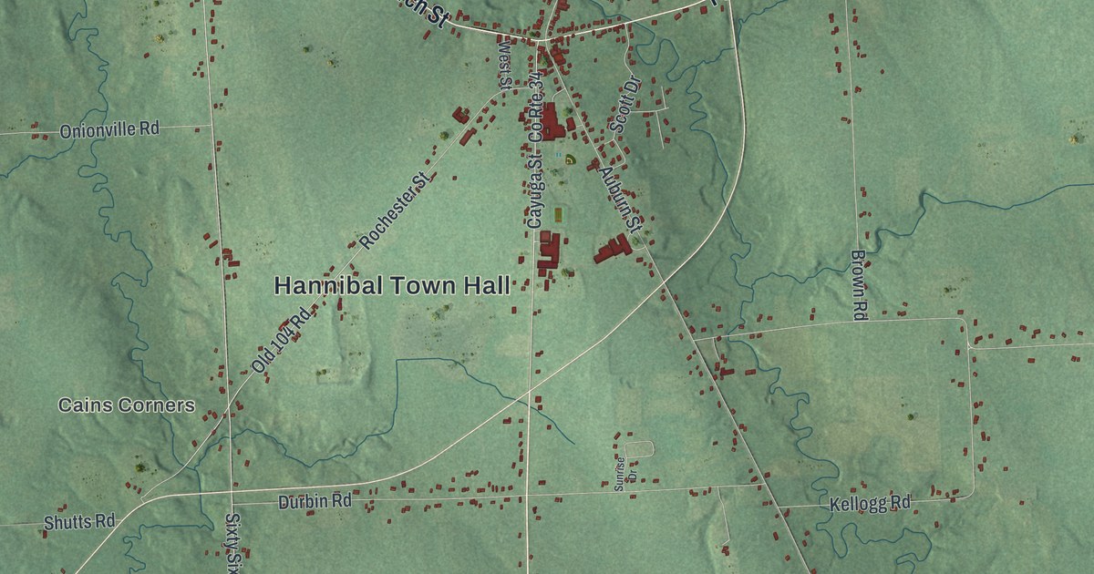
Take a closer look at the Hannibal map
Names on this map
These names are printed on this map.
Places: Hannibal Town Hall, North Hannibal, South Hannibal, Cains Corners, Fairdale, Hannibal Center and Pember Corners.
Streets and roads: Fulton Street, Church Street, Crandell Road, Kent Road, Cayuga Street, Parsons Road, Wiltsieville Road, County Route 36, 66 Road, Peat Bed Road, Oswego Street, County Route 7.
More street names, A to Z
Auburn Street, Blythe Road, Brackett Road, Brown Road, Carter Drive, Cemetery Drive, Cooper Road, Country Lane, County Route 3, County Route 21, County Route 34, County Route 85, Cowan Road, Cunningham Road, Dennison Road, Dunham Road, Durbin Road, Emmons Drive, Engles Road, Fowler Road, Gifford Road, Gravel Bed, Gregory Road, Guernsey Road, Hannum Road, Harris Hill Road, Hass Lane, Holsapple Road, James Road, Keller Road, Kellogg Road, Kelly Road, Martville Road, Mill Street, Miner Road, Muck Drive, New Meadows Lane, Old 104 Road, Onionville Road, Patrick Road, Pellet Road, Phinney Road, Pollard Road, Rathburn Road, Rochester Street, Scott Drive, Shutts Road, Sixty Six Road, Stock Road, Summerville Road, Sunrise Drive, Wall Street, West Street, Woodland Drive, Woodruff Road.
See it on a wall
The Hannibal map as a framed print. Swipe for more.


This beautifully detailed map of Hannibal makes an attractive addition to your office, library, or den, and it can even be used to teach children the geography and history of the area. It also makes a great gift for anyone with Hannibal roots. When you’re done exploring, click here to get your copy of the Hannibal map.