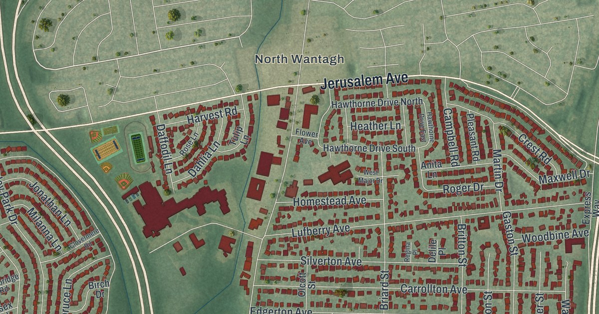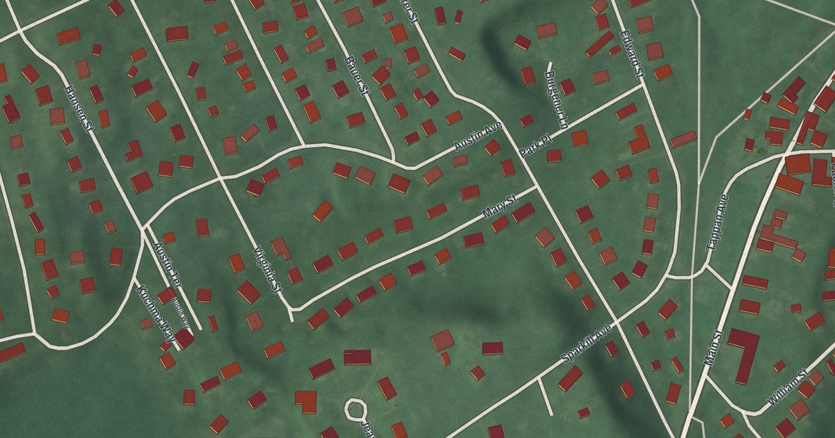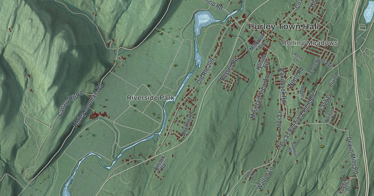
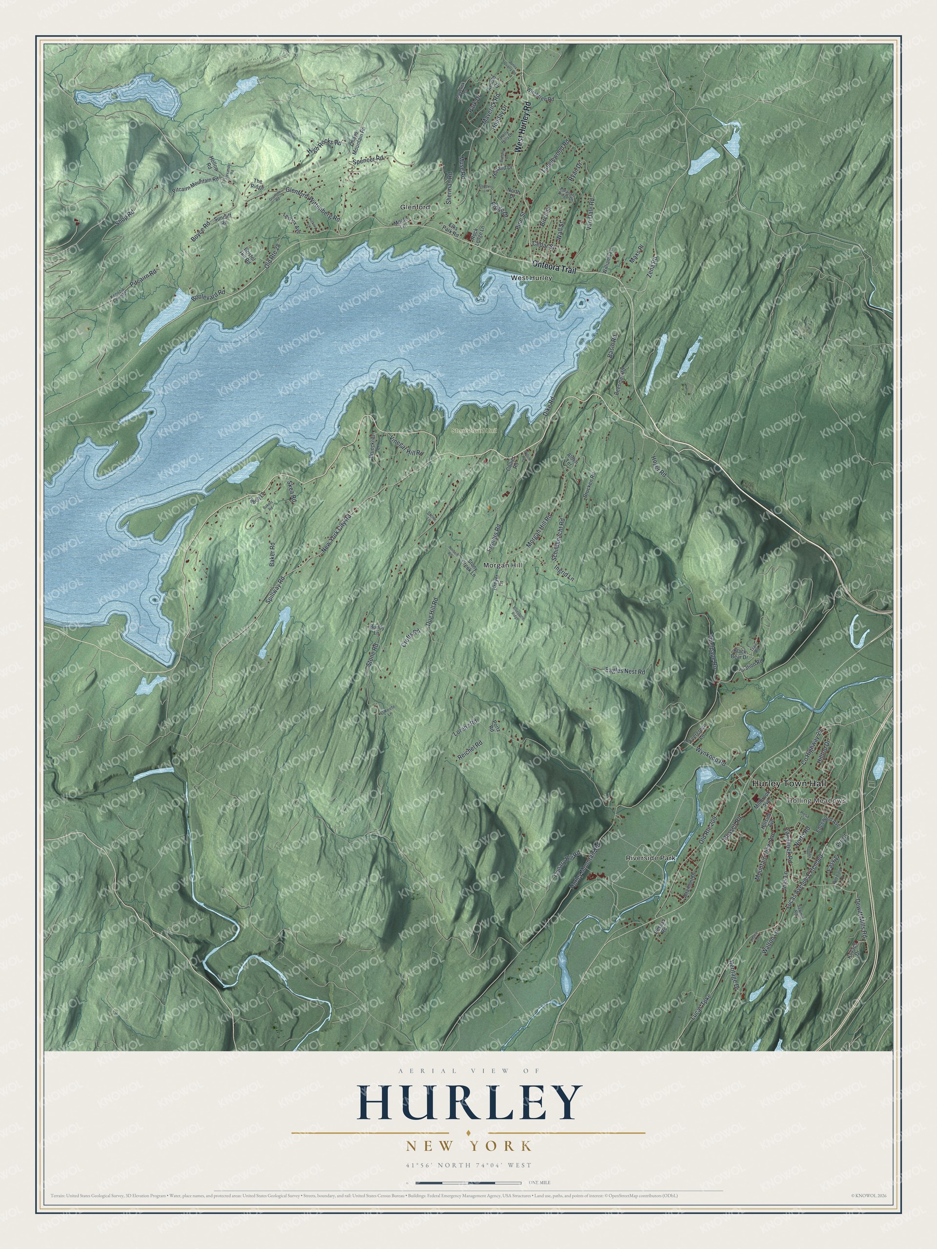
This beautifully detailed map of Hurley, New York was created in 2026 using aerial imagery combined with modern topographical, census, street and landmark data. It’s a one-of-a-kind view of Hurley that combines accurate data with a vintage aesthetic. The map shows every building in its true location, many of the roads carry their names, and the shaded topographic relief shows the shape of the land.
Explore an aerial view of Hurley, New York
On the map you’ll find Hurley Town Hall, Rolling Meadows, Glenford, Morgan Hill, Riverside Park, and West Hurley, along with Hurley Road, Onteora Trail, Spillway Road, Zena Road, and more. If you look closely you can even find your house accurately drawn in its correct location. Zoom in on the preview to look for yours.
Did You Know?
In the spring of 1662, Peter Stuyvesant founded the Dutch village of Niew Dorp here. During the Esopus Wars in June 1663, the Esopus people destroyed it and took captives, who were later freed. The empty village was resettled in September 1669 and renamed Hurley.
Take a closer look at the Hurley map
Names on this map
These names are printed on this map.
Places: Hurley Town Hall, Rolling Meadows, Stone Road Unit, Glenford, Morgan Hill, Riverside Park and West Hurley.
Streets and roads: West Hurley Road, Onteora Trail, Spillway Road, Zena Road, New York City Road, Pitcairn Road, Holiday Drive, Dug Hill Road, Stone Road, Hurley Mountain Road, Lucas Avenue Extended, Lucas Turnpike.
More street names, A to Z
Alden Terrace, Alexander Road, Altamont Drive, Arnold Drive, Baker Road, Bakers Road, Basin Road, Beesmer Road, Bessal Road, Birch Street, Black Bear Drive, Bluestone Ridge, Boulevard Road, Boyce Road, Bristol Hill Road, Brittany Drive, Brucken Road, Brueckner Lane, Bundy Lane, Canary Hill Road, Cedar Street, Collier Road, Conifer Lane, County Highway 29, Crofts Road, Depew Lane, Dewitt Mills Road, Dike Road, Eagles Nest Road, Easy Street, Edgewood Avenue, Elks Park Road, Evergreen Lane, Flanders Lane, Froners Road, Glenford-Wittenberg Road, Grumme Road, Heritage Drive, Hickory Lane, High Rocks Road, Hillside Avenue, Hilltop Drive, Holland Drive, Hollow Road, Holly Hills Drive, Hoyer Road, Ingrid Lane, Jones Quarry Road, Joys Lane, Kenozia Lake Road, Kovacs Drive, Kreyer Lane, Lennox Avenue, Lorenz Road, Maverick Road, Maverick Terrace, Maxs Place, Millbrook Avenue, Moore Lane, Morgan Hill Road, Mountain View Avenue, Muse Road, Norbert Road, North Drive, North Road, O'Keefe Lane, Ohayo Mountain Road, Old Route 28, Old Route 209, Park Drive, Pine Street, Pitcairn Mountain Road, Pleasant Ridge Drive, Portz Road, Pro Court, Reichel Road, Ridge Drive, Rock Ledge Lane, Rosa Lane, Russell Road, Ryan Drive, Sawmill Road, Schildknecht Road, Sherman Road, Shop Road, Skea Road, Spencer Road, Station Road, Stone Lane, Stony Creek Lane, Suncliff Road, Tanglewood Road, Tebelt Lane, The Ridge, Thielpape Road, Trail Road, Van Dale Road, Vinegar Hill Road, Wall Street, Walton Lane, Williams Lane, Wilson Road, Witchtree Road, Woodland Drive, Wynkoop Road, Zandhoek Road.
See it on a wall
The Hurley map as a framed print. Swipe for more.


This beautifully detailed map of Hurley makes an attractive addition to your office, library, or den, and it can even be used to teach children the geography and history of the area. It also makes a great gift for anyone who grew up in Hurley or moved away. When you’re done exploring, click here to get your copy of the Hurley map.