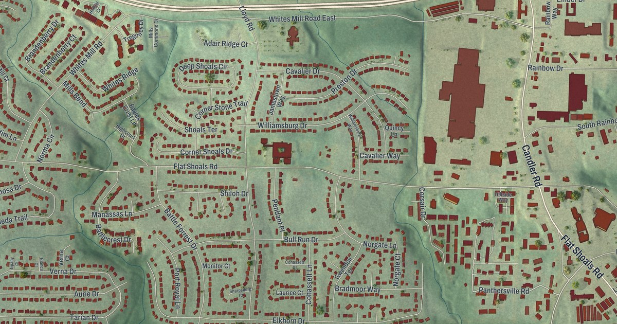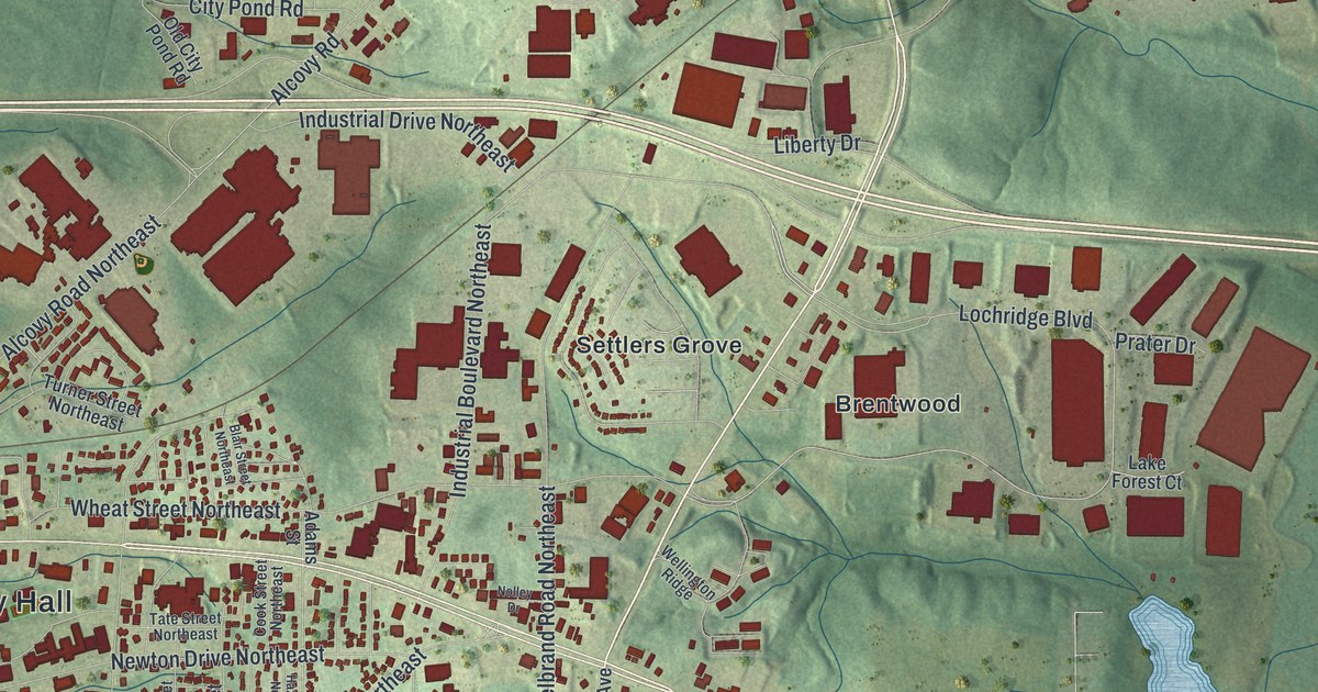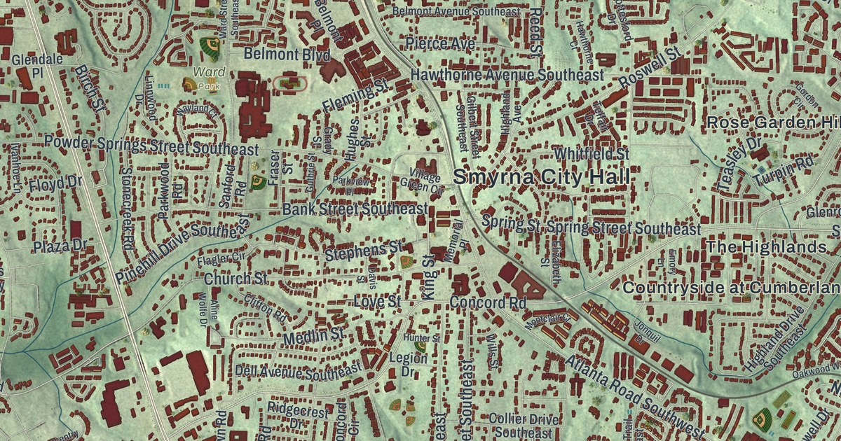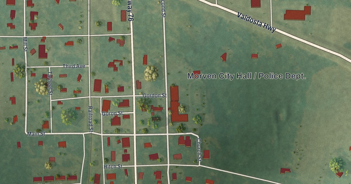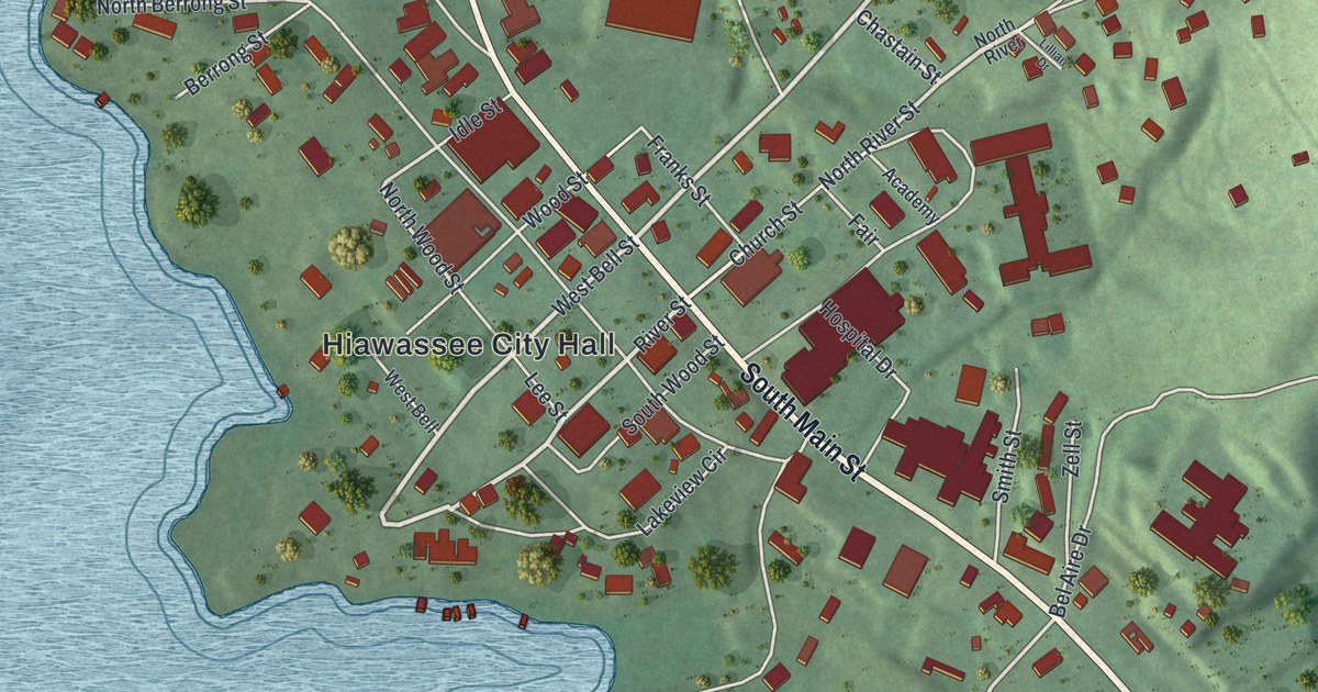
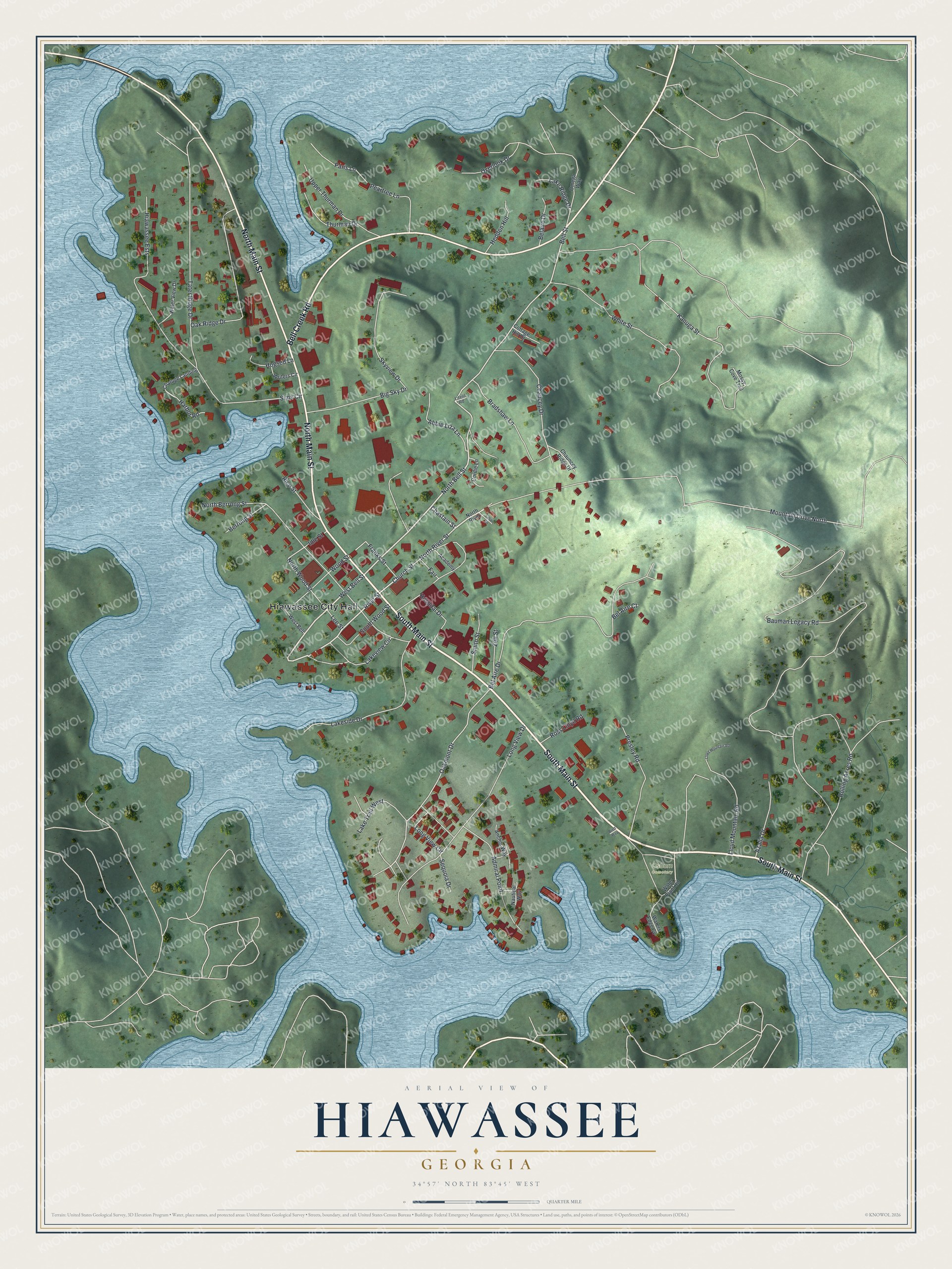
This beautifully detailed map of Hiawassee, Georgia was created in 2026 using aerial imagery combined with modern topographical, census, street and landmark data. It’s a one-of-a-kind view of Hiawassee that combines accurate data with a vintage aesthetic. The map shows every building in its true location, many of the roads carry their names, and the shaded topographic relief shows the shape of the land.
Explore an aerial view of Hiawassee, Georgia
On the map you’ll find Hiawassee City Hall and Osborn Cemetery, along with Main Street, Bell Creek Road, Bell Street, Chastain Street, and more. If you look closely you can even find your house accurately drawn in its correct location. Zoom in on the preview to look for yours.
Did You Know?
Hiawassee grew up along the Unicoi Turnpike, a Native American trail about a thousand years old. In the early 1700s, traders hauled deerskins and furs over it toward Savannah and Charleston. Between 1807 and 1811, the United States built a fur trade factory right here.
Take a closer look at the Hiawassee map
Names on this map
These names are printed on this map.
Places: Hiawassee City Hall and Osborn Cemetery.
Streets and roads: South Main Street, North Main Street, Bell Creek Road, Bell Street, West Bell Street, Chastain Street, North Bell Street, River Street, North River Street, Oakmont Drive, North Wood Street, Bauman Legacy Road.
More street names, A to Z
Abbie Liza Lane, Academy, Admiral Point, Anchor Way, Azalia Drive, Bel Aire Court, Bel Aire Drive, Belaire Drive, Berrong Street, Big Sky Drive, Bradshaw Lane, Brett Way, Chancey Drive, Chatuge Landing, Chauncey Ridge Drive, Church Street, Cordie Lane, Cottage Hill Drive, Fair, Franks Street, Harbor Road, Hedden Hill, Hiawassee Ests, Hogsed Lane, Hospital Drive, Idle Street, Kanuga Street, Lake Ridge Drive, Lakeside Drive, Lake Trail West, Lakeview Circle, Lee Street, Lillian Drive, Litelil Road, Lloyd Mountain Road, Long View Circle, Long View Drive, Mossy Cove Trail, Mountain Drive North, Nautical Way, North Berrong Street, North River, Oak Ridge Drive, Omega Way, Overlook Drive, Paris Lane, Peartree Lane, Presley Road, Rice Street, Rolling Acres Road, Ross Lloyd Road, Sequoia Drive, Sims Circle, Skyview Drive, Smith Street, South Wood Street, Tater Ridge Drive, Thurman Drive, Upper Thurman Drive, Water Plant Road, Waters Edge Cv, Water View Drive, West Bell, White Street, Wood Street, Writers Circle, Zell Street.
See it on a wall
The Hiawassee map as a framed print. Swipe for more.


This beautifully detailed map of Hiawassee makes an attractive addition to your office, library, or den, and it can even be used to teach children the geography and history of the area. It also makes a great gift for anyone with Hiawassee roots. When you’re done exploring, click here to get your copy of the Hiawassee map.