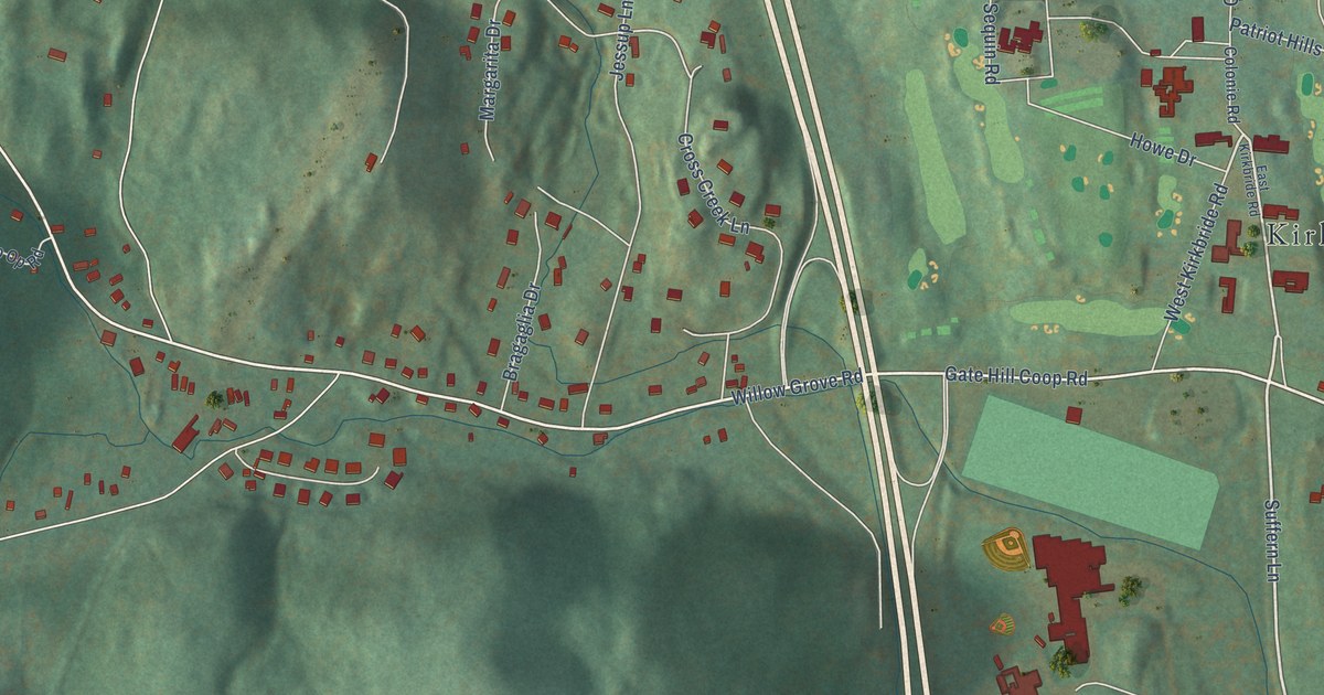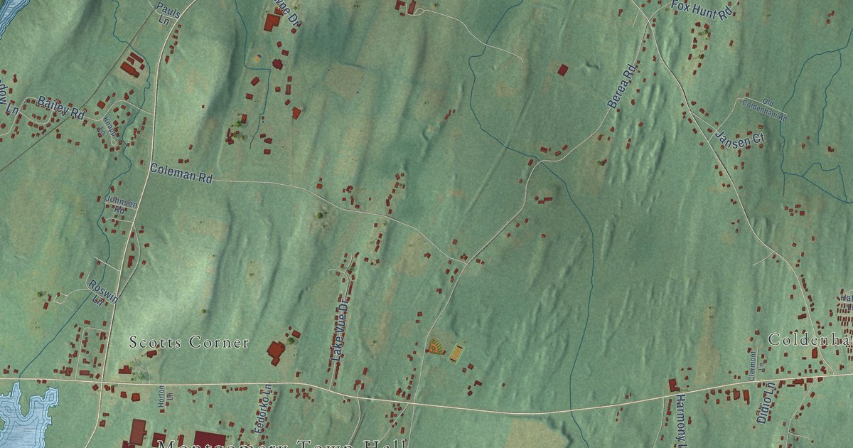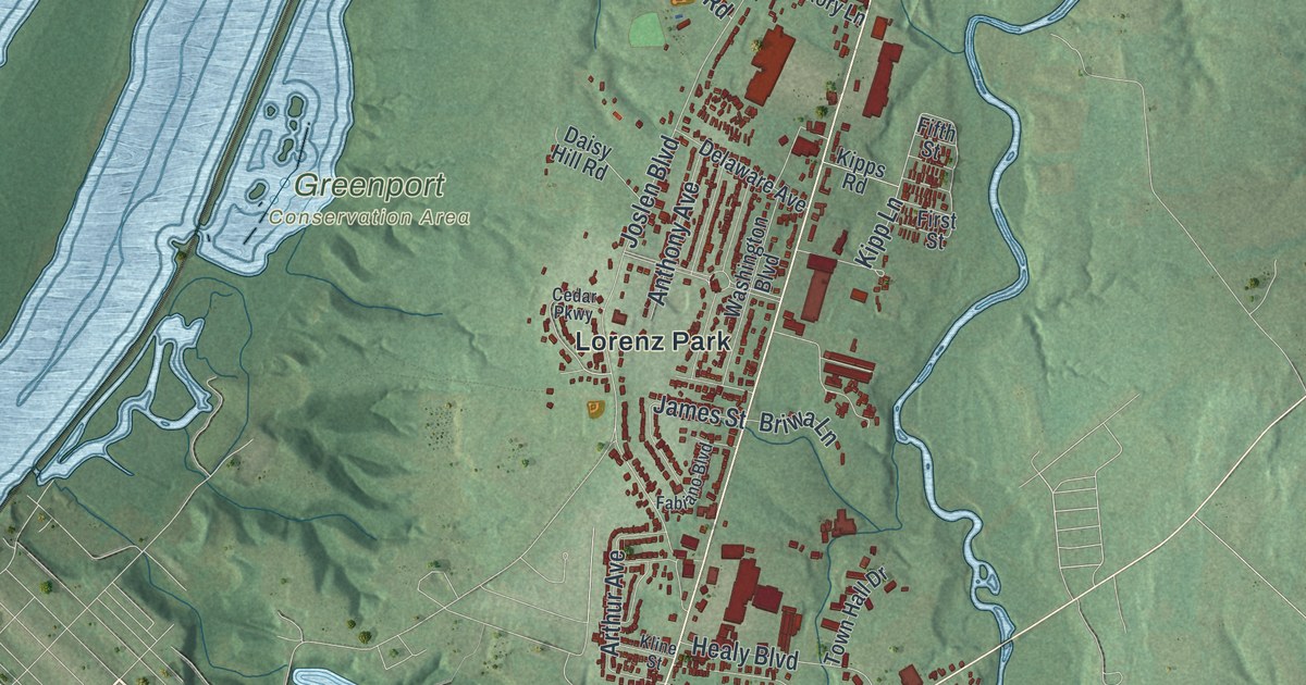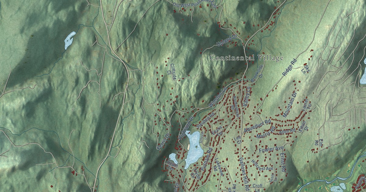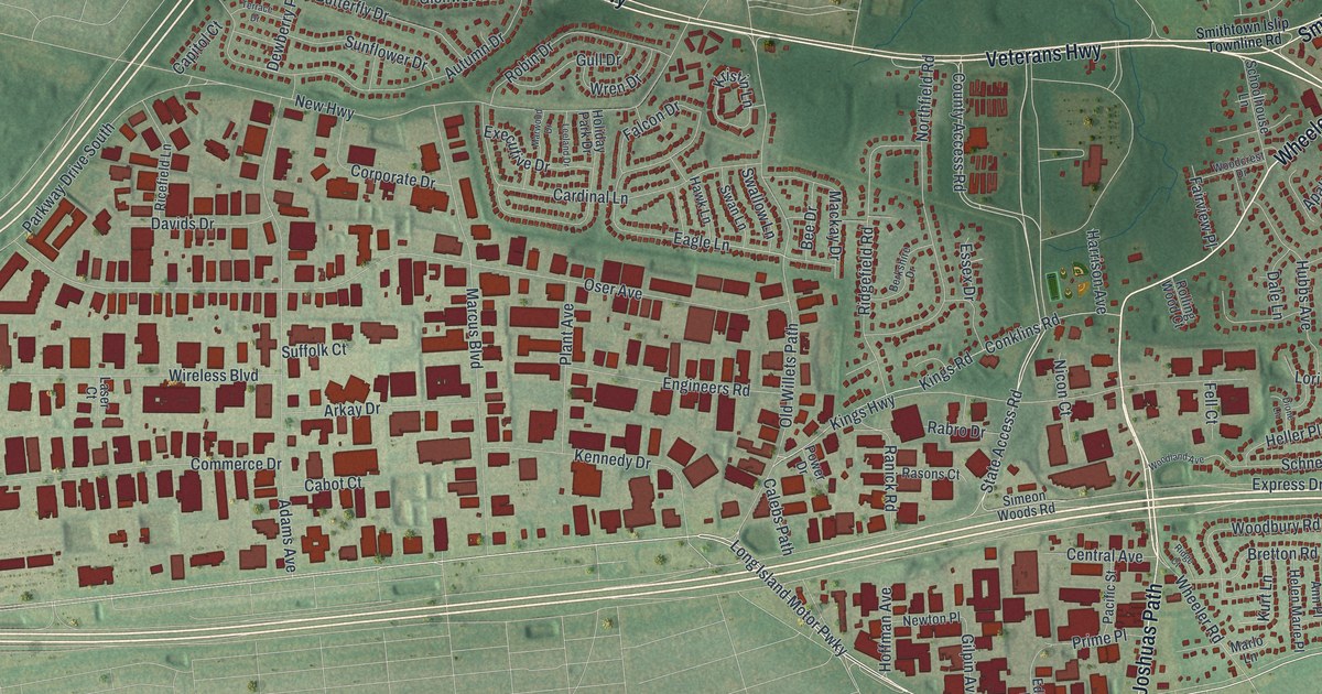
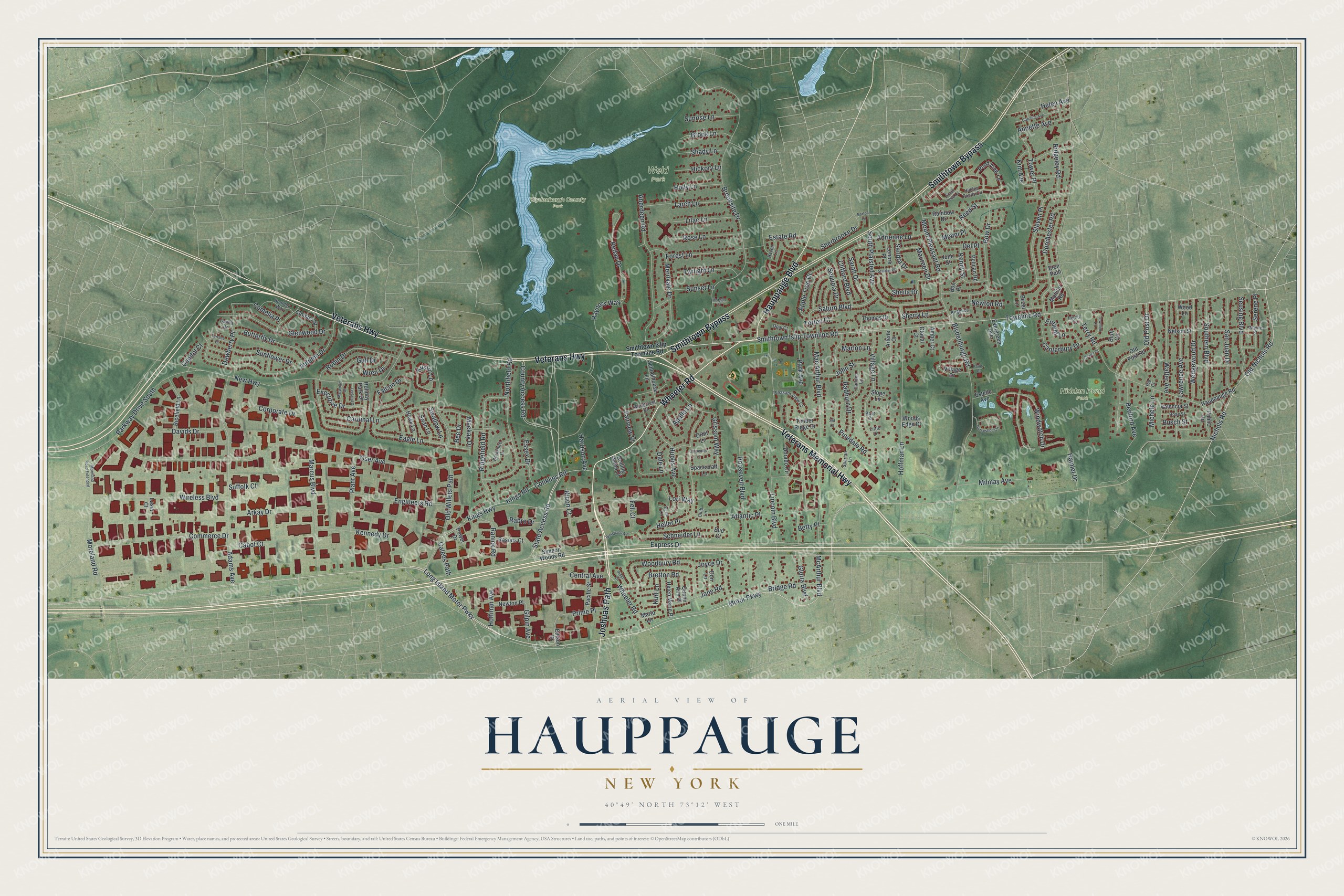
This beautifully detailed map of Hauppauge, New York was created in 2026 using aerial imagery combined with modern topographical, census, street and landmark data. It’s a one-of-a-kind view of Hauppauge that combines accurate data with a vintage aesthetic. The map shows every building in its true location, many of the roads carry their names, and the shaded topographic relief shows the shape of the land.
Explore an aerial view of Hauppauge, New York
On the map you’ll find Blydenburgh County Park, Hidden Pond Park, and Weld Park, along with Veterans Highway, Wheeler Road, Smithtown Bypass, Veterans Memorial Highway, Hauppauge Boulevard, and more. If you look closely you can even find your house accurately drawn in its correct location. Zoom in on the preview to look for yours.
Did You Know?
Hauppauge comes from an Algonquin term meaning sweet waters. Native people drew their fresh drinking water here. Thomas Wheeler’s family settled the hamlet before 1753, and the place carried the Wheeler name for about a century. The old name Hauppauge returned in the 1860s.
Take a closer look at the Hauppauge map
Names on this map
These names are printed on this map.
Places: Blydenburgh County Park, Hidden Pond Park and Weld Park.
Streets and roads: Veterans Highway, Wheeler Road, Smithtown Bypass, Veterans Memorial Highway, Hauppauge Boulevard, Joshuas Path, Townline Road, Smithtown Islip Townline Road, County Access Road, State Access Road, Nichols Road, Old Nichols Road.
More street names, A to Z
Aberdeen Road, Adams Avenue, Adrienne Lane, Amber Court, Angelica Court, Annette Avenue, Apallo Lane, Apple Tree Drive, Arkay Drive, Arlene Court, Atlantic Place, Autumn Drive, Baer Court, Barton Lane, Bedford Avenue, Bee Drive, Berkshire Drive, Betty Place, Bezel Lane, Bluff Circle, Blydenburgh Road, Boulder Way, Bow Drive, Box Place, Bretton Road, Bridge Road, Brook Lane, Brooksite Drive, Bud Court, Busch Street, Butterfly Drive, Cabot Court, Calebs Path, Camelia Place, Canna Drive, Canterbury Drive, Capitol Court, Cardinal Lane, Carldon Lane, Caroline Avenue, Carpenter Lane, Central Avenue, Clifford Boulevard, Cloister Street, Club Lane, Commerce Drive, Conklins Road, Corporate Drive, Dale Lane, Davids Drive, Del Place, Dewberry Place, Dexter Court, Dione Lane, Don Lane, Dorado Circle, Dorchester Road, Eagle Lane, Edison Drive, Enfield Lane, Engineers Road, Essex Drive, Estate Road, Estelle Avenue, Eton Path, Evergreen Avenue, Executive Drive, Express Drive, Fairview Place, Falcon Drive, Fell Court, Forest Lane, Gilpin Avenue, Glenwood Drive, Global Court, Gloria Boulevard, Grissom Way, Gull Drive, Hamlet Drive, Harrison Avenue, Hauppauge Road, Haven Lane, Hawk Lane, Helen Avenue, Helen Marie Place, Heller Place, Hickory Lane, Hidden Ponds Circle, Hoffman Avenue, Hoffman Lane, Holiday Park Drive, Holly Lane, Horseshoe Circle, Hubbs Avenue, Ingrid Court, Jane Road, John Street, Joyce Drive, June Street, Kennedy Drive, Kenny Street, Kim Avenue, Kings Highway, Kings Road, Kristin Lane, Kurt Lane, Larch Lane, Laser Court, Lawrence Avenue, Leeland Drive, Lenore Place, Lilac Lane, Lincoln Boulevard, Little Lane, Long Island Motor Pwky, Lori Way, Mac Arthur Boulevard, Mackay Drive, Marcus Boulevard, Marlo Lane, Marlon Lane, Marwood Drive, Maureen Drive, McArthur Boulevard, Merrivale Drive, Miami Place, Michele Lane, Milmay Avenue, Monitor Road, Moreland Road, Moreland Road Extended, Morgan Court, Motor Parkway, Mount Pleasant Road, Nelson Street, New Highway, Newton Place, Newton Road, Nicon Court, Northfield Road, Old Post Drive, Old Post Road, Old Willets Path, Opal Court, Orbit Lane, Oser Avenue, Pacific Street, Park Avenue, Parkway Drive South, Pauls Court, Pelican Road, Pia Court, Pinedale Road, Plant Avenue, Pleasant View Court, Pond View Lane, Power Drive, Prime Place, Public Road, Queen Ann Place, Rabro Drive, Radburn Drive, Rainbow Drive, Ranick Road, Rasons Court, Raynors Way, Redan Drive, Reed Street, Ricefield Lane, Ridge Court, Ridgefield Road, Ridgeley Road, Robin Drive, Rolling Wood Court, Roosevelt Boulevard, Rose Lane, Rose Street, Sandra Drive, San Juan Drive, Sarah Drive, Saturn Boulevard, Schneider Lane, Schoolhouse Lane, Sequoia Drive, Serene Place, Seusing Boulevard, Shady Lane, Sheila Drive, Sherbrooke Drive, Sherry Lane, Sid Court, Simeon Woods Road, Slope Lane, Southern Boulevard, South Plaisted Avenue, South Pond Lane, Spacecraft Lane, Spartan Lane, Stanley Place, Steven Place, Suffolk Court, Sunflower Drive, Sunrise Lane, Sunset Lane, Swallow Lane, Swan Lane, Terrace Drive, Terry Road, Thomas Drive, Timber Ridge Drive, Torlen Court, Tower Place, Townline Court, Twilight Lane, Valencia Street, Village Drive, Village Lane, Walter Avenue, Wayne Street, Wedgewood Drive, Windwatch Drive, Wireless Boulevard, Woodbury Road, Woodcrest Drive, Woodland Avenue, Wood Lane, Woods Edge Court, Wren Drive.
See it on a wall
The Hauppauge map as a framed print. Swipe for more.


This beautifully detailed map of Hauppauge makes an attractive addition to your office, library, or den, and it can even be used to teach children the geography and history of the area. It also makes a great gift for someone who left Hauppauge and still calls it home. When you’re done exploring, click here to get your copy of the Hauppauge map.