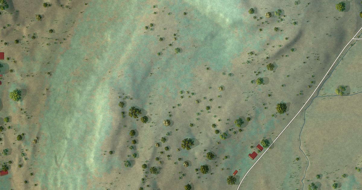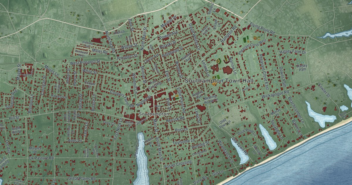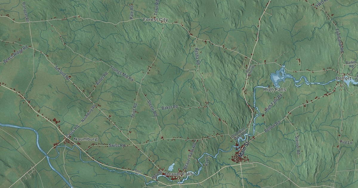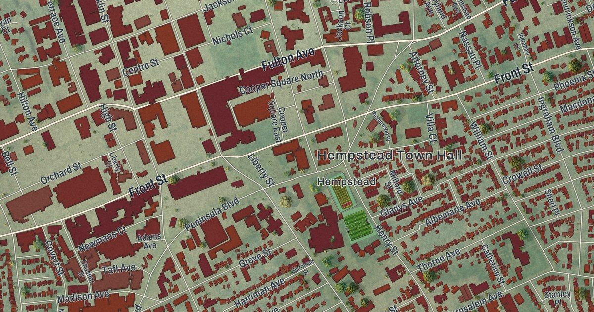
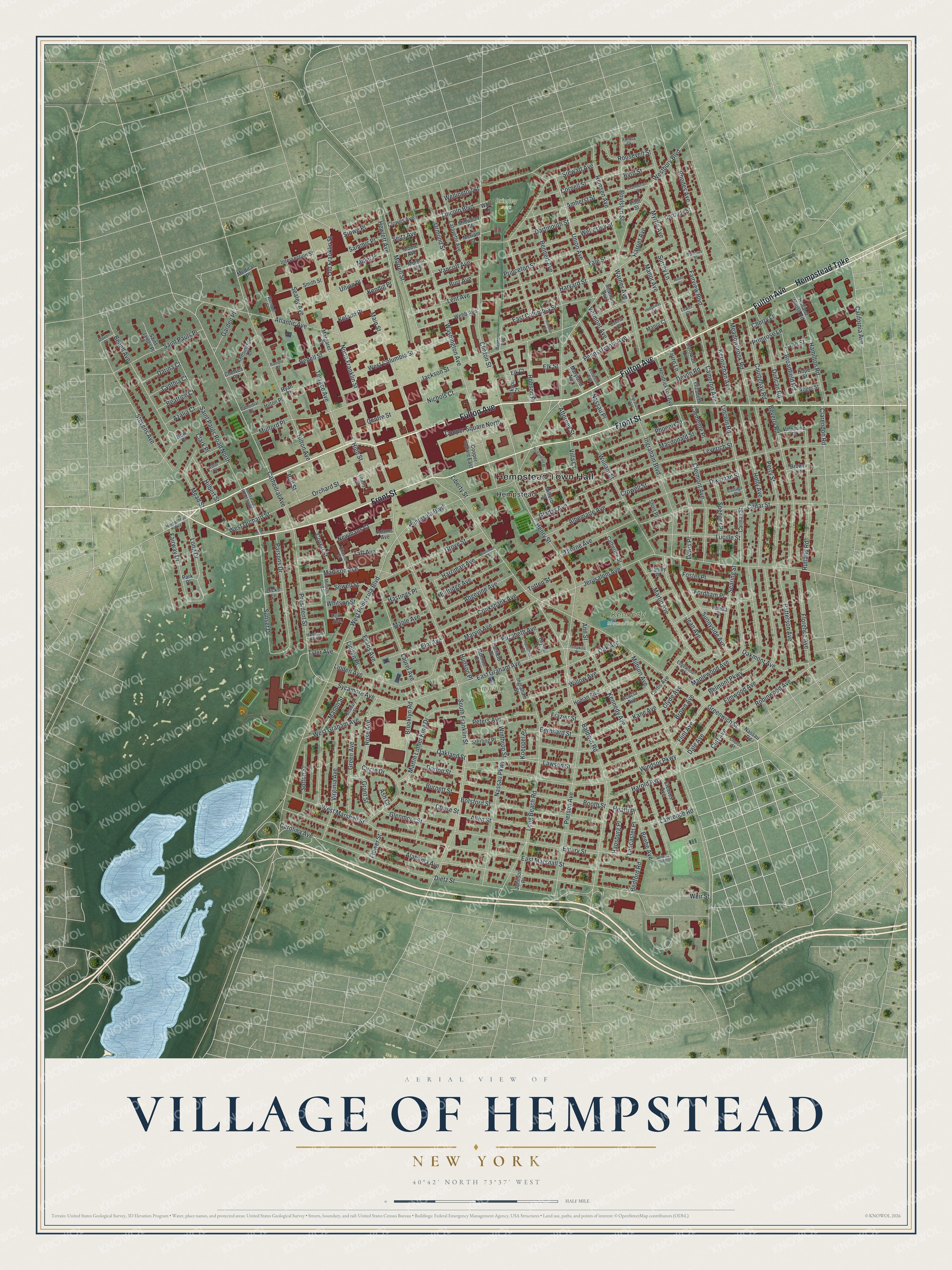
This beautifully detailed map of the Village of Hempstead, New York was created in 2026 using aerial imagery combined with modern topographical, census, street and landmark data. It’s a one-of-a-kind view of the Village of Hempstead that combines accurate data with a vintage aesthetic. The map shows every building in its true location, many of the roads carry their names, and the shaded topographic relief shows the shape of the land.
Explore an aerial view of the Village of Hempstead, New York
On the map you’ll find Hempstead Town Hall, Kennedy Memorial Park, Brierley Park, and Lincoln Park, along with Fulton Avenue, Hempstead Turnpike, Front Street, Baldwin Road, and more. If you look closely you can even find your house accurately drawn in its correct location. Zoom in on the preview to look for yours.
Did You Know?
In the spring of 1644, thirty to forty Puritan families left Stamford, Connecticut, and sailed across Long Island Sound. They landed at Hempstead Harbor and walked inland to settle here, inside Dutch New Netherland. It became the oldest English settlement in today’s Nassau County.
Take a closer look at the Village of Hempstead map
Names on this map
These names are printed on this map.
Places: Hempstead Town Hall, Kennedy Memorial Park, Brierley Park, Lincoln Park and Hempstead.
Streets and roads: Fulton Avenue, Hempstead Turnpike, Front Street, Baldwin Road, Greenwich Street, Cathedral Avenue, Long Drive, President Street, East Graham Avenue, South Franklin Street, Lancaster Place, Peninsula Boulevard.
More street names, A to Z
Acacia Avenue, Adams Avenue, Alabama Avenue, Albemarle Avenue, Allen Street, Amherst Street, Angevine Avenue, Ann Street, Ash Court, Astor Court, Atlantic Avenue, Attorney Street, Azalia Court, Beatrice Court, Bedell Avenue, Bedell Street, Bedford Road, Beebe Avenue, Bell Street, Belmont Avenue, Belmont Parkway, Bennett Avenue, Bernhard Street, Beverly Road, Blemton Place, Booth Street, Botsford Street, Boylston Street, Broadfield Road, Brooklyn Road, Brower Lane, Brown Avenue, Burnett Street, Burr Avenue, Byrd Street, California Avenue, Cameron Avenue, Carman Street, Carolina Avenue, Cathedral Court, Catherine Street, Cedar Street, Centre Street, Chamberlain Street, Chase Street, Chasner Street, Chelsea Place, Cherry Lane, Church Street, Circle Drive, Clarendon Road, Clark Place, Cleaves Avenue, Clemente Place, Clermont Avenue, Cliff Avenue, Clinton Street, Clowes Avenue, Clyde Avenue, Cooper Square East, Cooper Square North, Cornell Street, Cornwall Lane, Cottage Place, Courtenay Road, Covert Street, Crowell Street, Cruikshank Avenue, Curtis Avenue, Cynthia Court, Dakota Place, Dale Avenue, Darina Court, Dartmouth Street, Devon Road, Dicks Lane, Dietz Street, Dikeman Street, Dorlon Street, Dover Place, Downs Road, Duncan Road, East Columbia Street, East Marshall Street, Edgewood Court, Eldridge Avenue, Elizabeth Avenue, Elizabeth Court, Elk Court, Elk Street, Elm Avenue, Elmwood Avenue, Emery Street, Evans Avenue, Fairview Boulevard, Fairway Drive, Flint Avenue, Florence Avenue, Flower Street, Fordham Place, Foster Place, Frazier Street, Garden Place, Garfield Place, Gertrude Street, Gladys Avenue, Glenmore Street, Grant Street, Green Avenue, Grove Street, Hamilton Place, Hamilton Road, Hapsburg Place, Harold Avenue, Harriet Avenue, Harriman Avenue, Harriman Street, Harrison Avenue, Harvard Street, Hastings Place, Heath Place, Hedgeway Court, Hempstead Avenue, Hendrickson Avenue, Henry Street, Hewlett Avenue, High Street, Hilbert Street, Hilton Avenue, Hilton Place, Holland House Road, Holly Avenue, Homan Boulevard, Hope Street, Hudson Place, Ingraham Boulevard, Ingraham Lane, Ingraham Street, Intersection Street, Jackson Court, Jackson Street, Jane Street, Jean Avenue, Jerusalem Avenue, Johnson Place, Kane Avenue, Kellum Place, Kendig Place, Kennedy Avenue, Kensington Court, Kernochan Avenue, Koeppel Place, Lafayette Avenue, Laurel Avenue, Lawrence Road, Lawson Street, Lent Avenue, Leverich Street, Lewis Place, Liberty Court, Liberty Street, Lincoln Boulevard, Lincoln Road, Linden Avenue, Linden Place, Long Beach Road, Lucille Street, Macdonald Street, Madison Avenue, Main Street, Manor Avenue, Manor Court, Maple Avenue, Maplewood Avenue, Margaret Court, Martin Avenue, Martin Luther King Drive, Marvin Avenue, Maryland Avenue, Mason Street, Meadowbrook Road, Mead Street, Medical Place, Meriam Street, Midwood Street, Milburn Avenue, Milford Street, Miller Place, Mirschel Street, Monroe Place, Moore Avenue, Morrell Street, Morton Avenue, Mulford Place, Myrtle Avenue, Nassau Parkway, Nassau Place, Nassau Road, New Court, Newmans Court, Nichols Court, North Franklin Street, Oak Avenue, Oakland Street, Oakmont Avenue, Old Franklin Street, Orchard Street, Ormond Street, Park Place, Parsons Drive, Patterson Avenue, Pennsylvania Avenue, Perry Street, Peters Avenue, Phoenix Street, Pierson Avenue, Pilot Street, Polk Avenue, Primrose Lane, Princeton Street, Remsen Avenue, Rhodes Avenue, Richardson Place, Robinwood Avenue, Robson Place, Roger Street, Roosevelt Street, Rose Avenue, Rundle Court, Rutland Road, Ryan Court, Saint James Place, Saint Pauls Place, Saint Pauls Road North, Saint Pauls Road South, Sammis Place, Seabury Street, Sealey Avenue, Seaman Avenue, Searing Street, Seitz Avenue, Sewell Street, Short Place, Smith Street, Spencer Place, Stanley Place, Sterling Place, Stevens Avenue, Stewart Avenue, Stowe Place, Sunnyside Avenue, Sunset Drive, Surrey Lane, Sutton Street, Sycamore Avenue, Taft Avenue, Taylor Place, Tennessee Avenue, Teresa Place, Terrace Avenue, Thomas Street, Thorne Avenue, Tompkins Place, Totten Street, Tower Court, Truro Lane, Tyler Avenue, Union Avenue, Union Place, Valentine Place, Vanata Court, Vancott Avenue, Vermont Avenue, Villa Court, Virginia Avenue, Warner Avenue, Washington Avenue, Webb Avenue, Weil Place, Weir Street, Wellesley Street, Wellington Street, Wendell Street, Westbury Boulevard, West Columbia Street, West Graham Avenue, West Marshall Street, West Orchard Street, West Peninsula Boulevard, Whitson Street, Whli Lane, William Street, Willow Avenue, Windsor Parkway, Winthrop Street, Witley Court, Yale Street.
See it on a wall
The Hempstead map as a framed print. Swipe for more.


This beautifully detailed map of the Village of Hempstead makes an attractive addition to your office, library, or den, and it can even be used to teach children the geography and history of the area. It also makes a great gift for anyone who grew up in the Village of Hempstead or moved away. When you’re done exploring, click here to get your copy of the Village of Hempstead map.