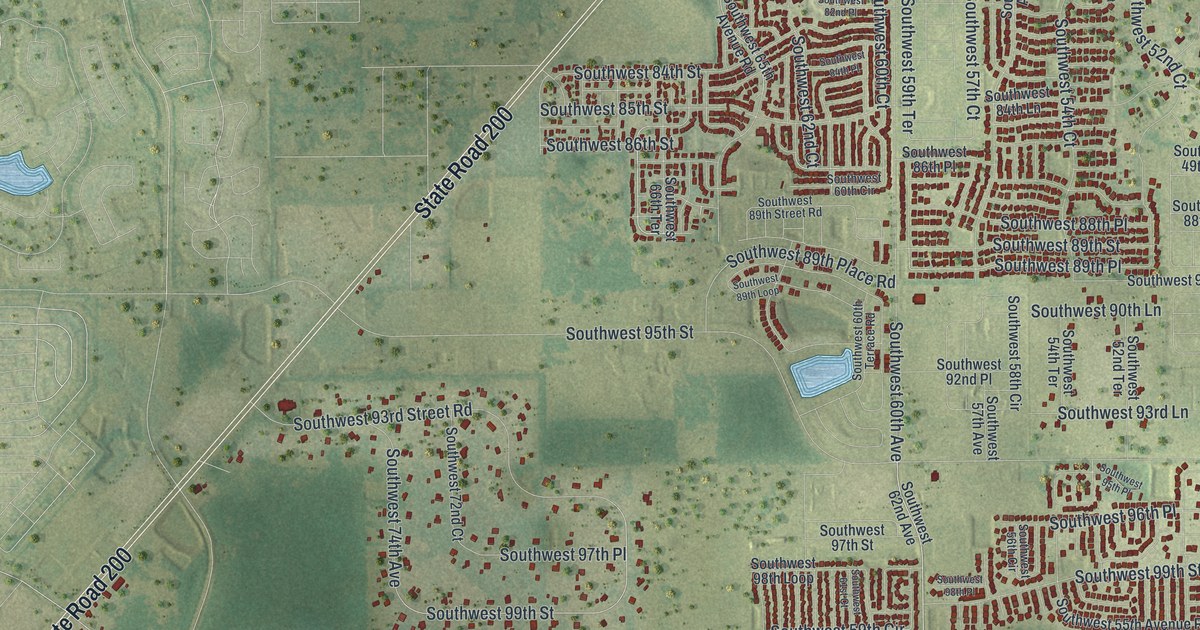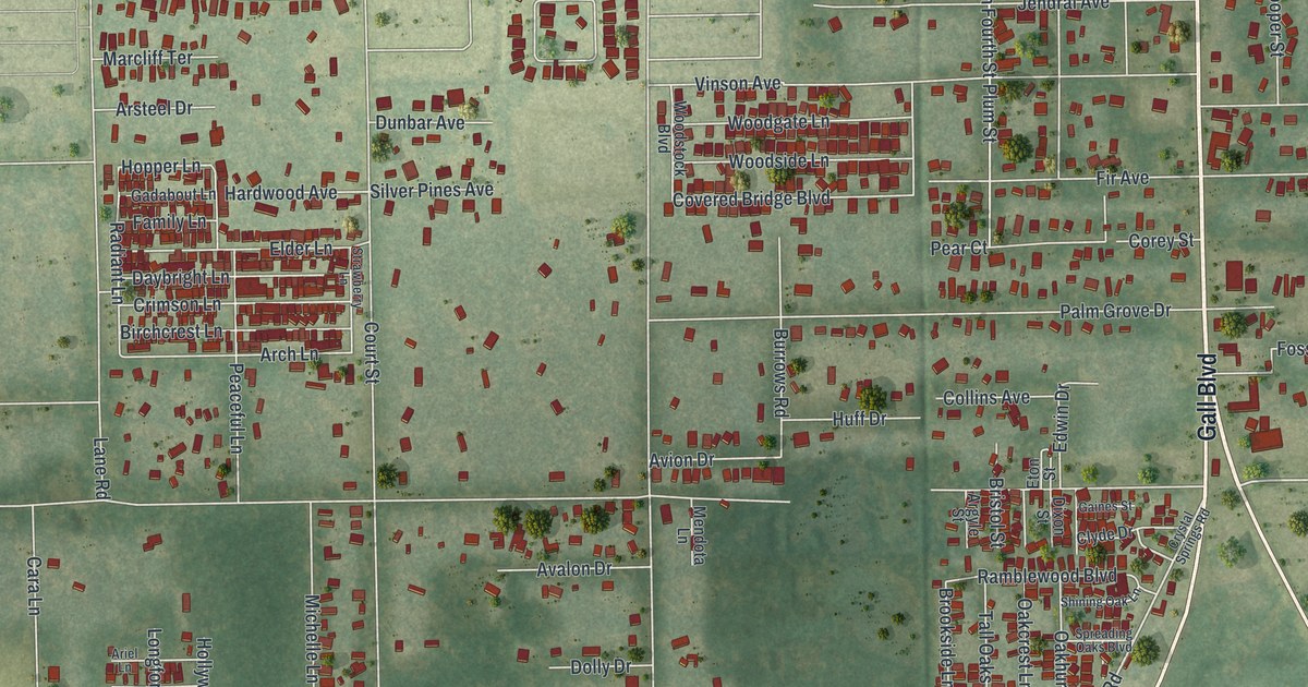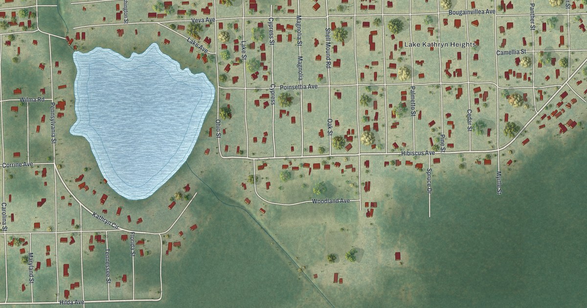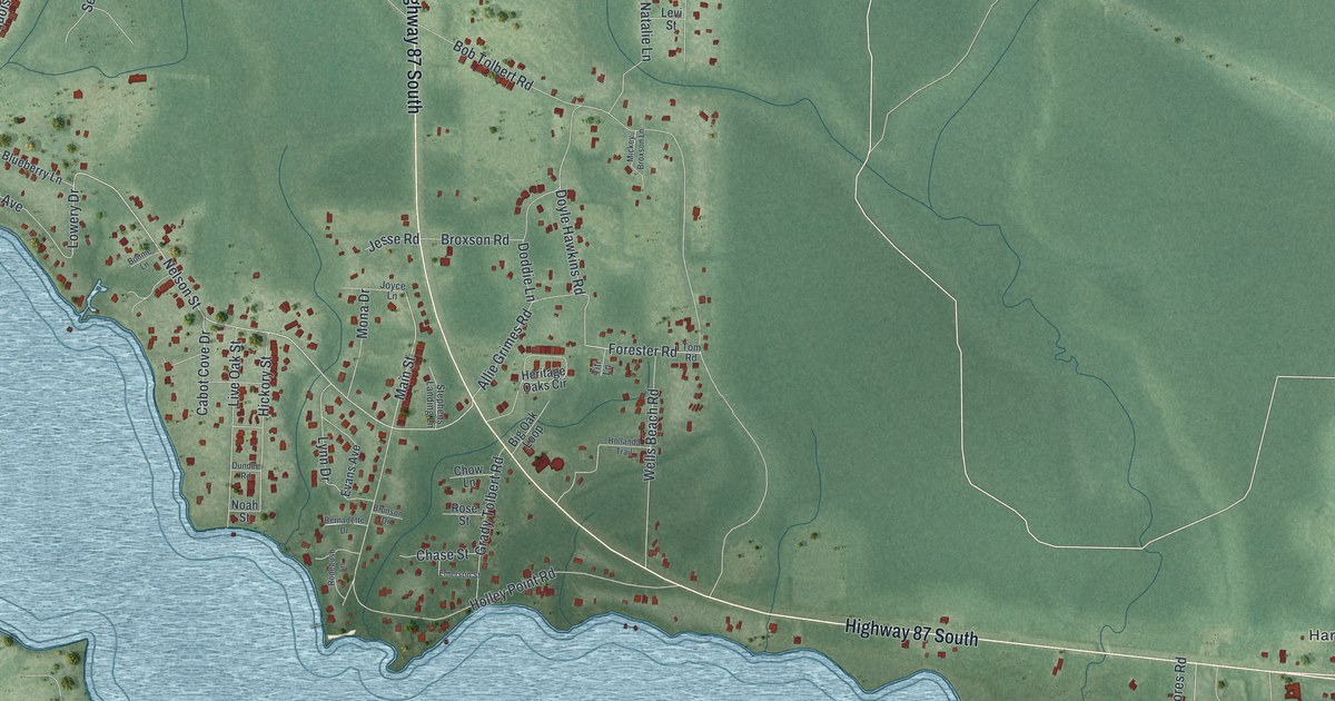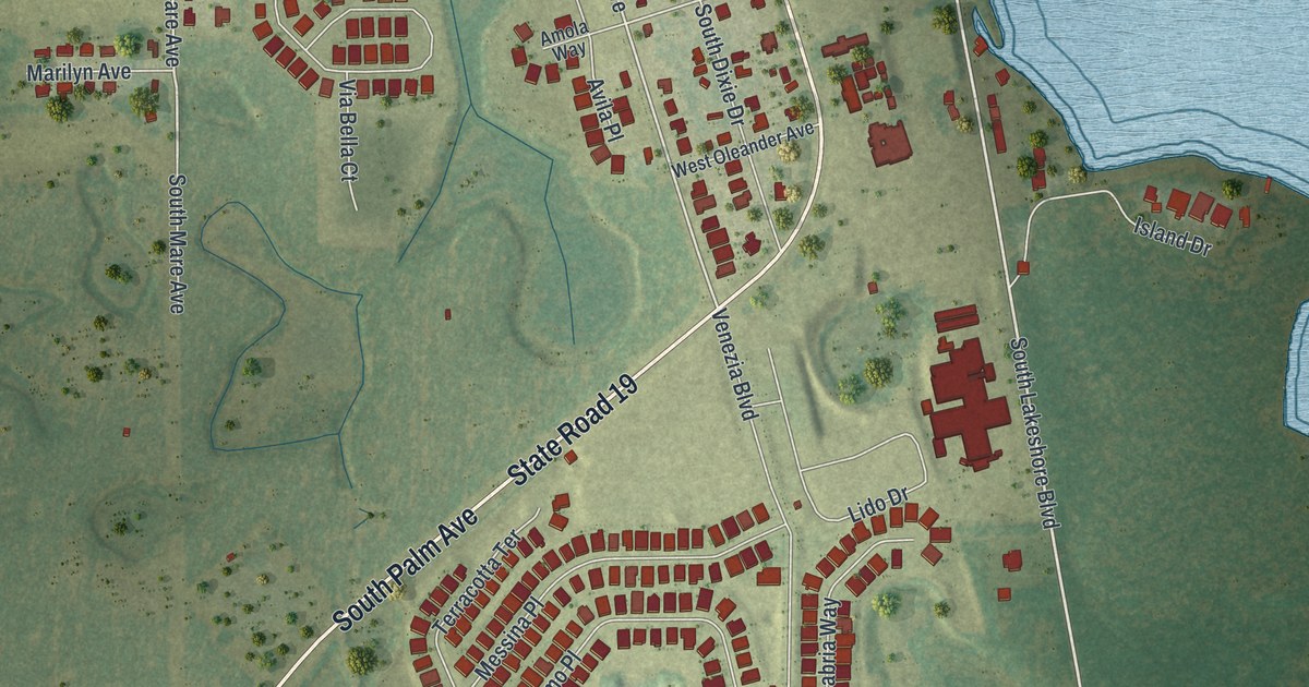
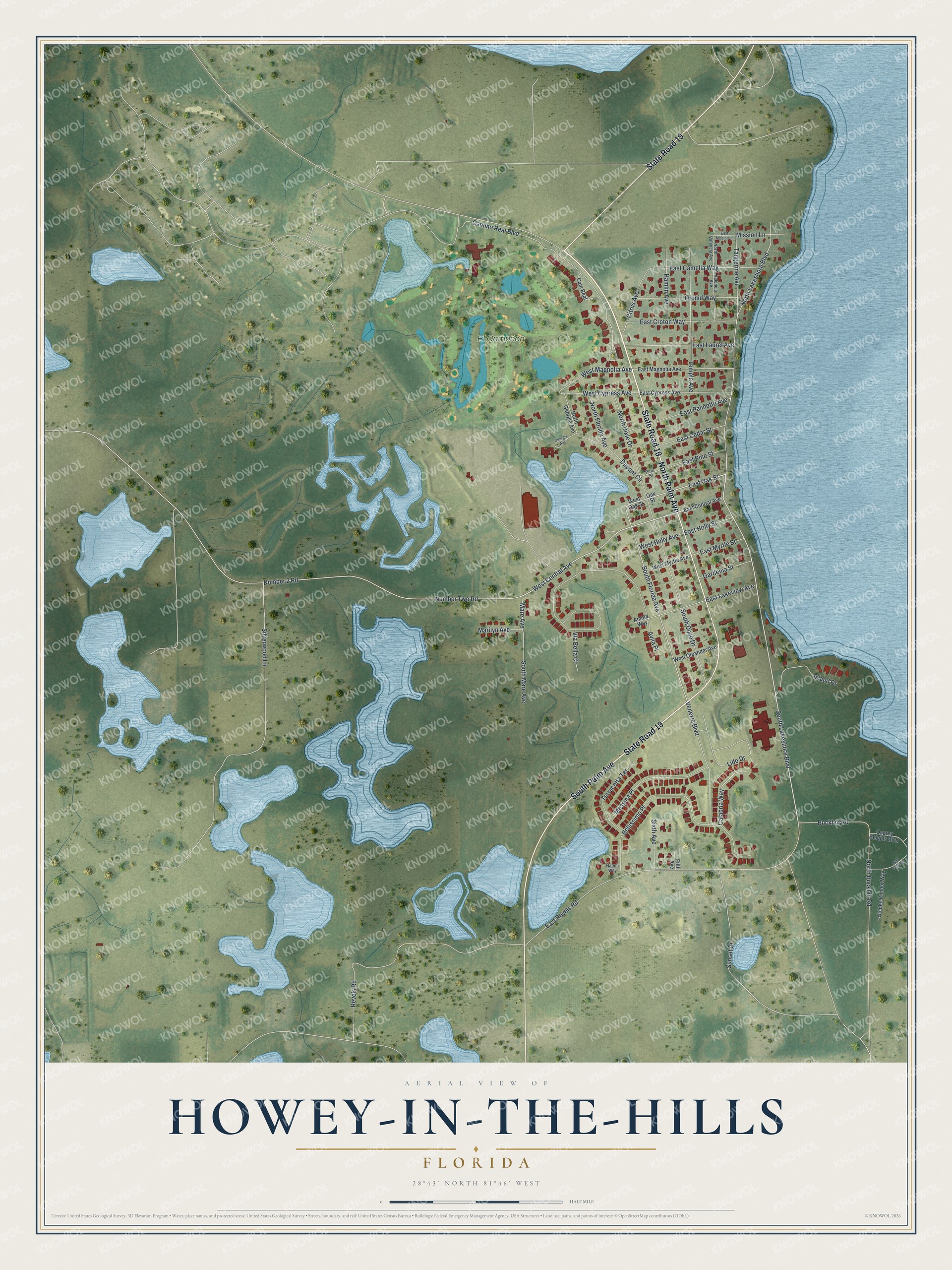
This beautifully detailed map of Howey-in-the-Hills, Florida was created in 2026 using aerial imagery combined with modern topographical, census, street and landmark data. It’s a one-of-a-kind view of Howey-in-the-Hills that combines accurate data with a vintage aesthetic. The map shows every building in its true location, many of the roads carry their names, and the shaded topographic relief shows the shape of the land.
Explore an aerial view of Howey-in-the-Hills, Florida
On the map you’ll find El Campéon, along with North Palm Avenue, State Road 19, South Palm Avenue, East Oak Street, South Lakeshore Boulevard, West Central Avenue, North Lakeshore Boulevard, South Florida Avenue, Mare Avenue, Buckhill Road, West Magnolia Avenue, and more. If you look closely you can even find your house accurately drawn in its correct location. Zoom in on the preview to look for yours.
Did You Know?
Citrus grower William John Howey founded the town and began laying out lots near Lake Harris in 1921. He also built the first citrus juice factory in Florida here that year. The town incorporated as Howey in 1925 with him as mayor. In 1927 it became Howey-in-the-Hills, for hills he called the Florida Alps.
Take a closer look at the Howey-in-the-Hills map
Names on this map
These names are printed on this map.
Places: El Campéon.
Streets and roads: North Palm Avenue, State Road 19, South Palm Avenue, East Oak Street, South Lakeshore Boulevard, West Central Avenue, North Lakeshore Boulevard, South Florida Avenue, Mare Avenue, Buckhill Road, West Magnolia Avenue, West Cypress Avenue.
More street names, A to Z
Amola Way, Avila Place, Bald Eagle Drive, Bellissimo Place, Calabria Way, Camino Real Boulevard, Cam Real, Citrus Avenue, Dupont Circle, East Camelia Way, East Cedar Street, East Central Avenue, East Croton Way, East Cypress Avenue, East Holly Street, East Lakeview Avenue, East Laurel Avenue, East Magnolia Avenue, East Mission Lane, East Myrtle Street, East Palmetto Avenue, East Pine Street, East Revels Road, Fifth Avenue, Gardenia Street, Georgia Avenue, Golden Condor Way, Hamlin Avenue, Island Drive, Lido Drive, Marilyn Avenue, Messina Place, Mission Lane, Napoli Way, North Buckhill Road, North Dixie Drive, North Florida Avenue, North Georgia Avenue, North Valencia Avenue, Number 2 Road, Number Two Road, Oak Street, Orchid Way, Osprey Heights Boulevard, Pine Street, Revels Road, Silverwood Lane, Sixth Avenue, South Dixie Drive, South Mare Avenue, Sunset Drive, Tangerine Avenue, Temple Avenue, Terracotta Terrace, Valencia Avenue, Venezia Boulevard, Via Bella Court, West Holly Avenue, West Myrtle Avenue, West Oak Street, West Oleander Avenue.
See it on a wall
The Howey-in-the-Hills map as a framed print. Swipe for more.


This beautifully detailed map of Howey-in-the-Hills makes an attractive addition to your office, library, or den, and it can even be used to teach children the geography and history of the area. It also makes a great gift for anyone who grew up in Howey-in-the-Hills or moved away. When you’re done exploring, click here to get your copy of the Howey-in-the-Hills map.