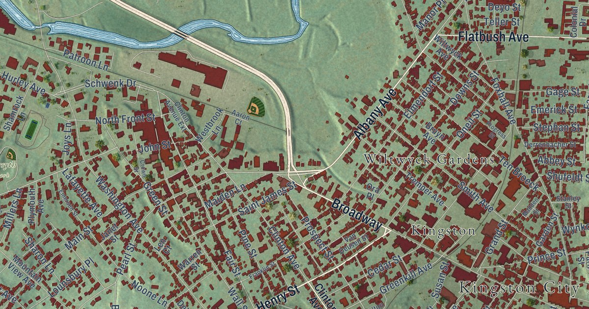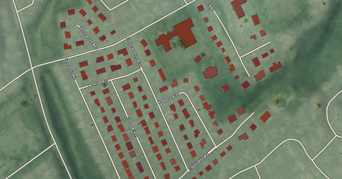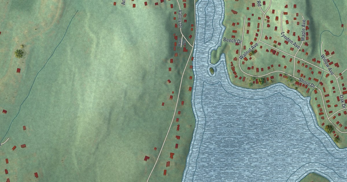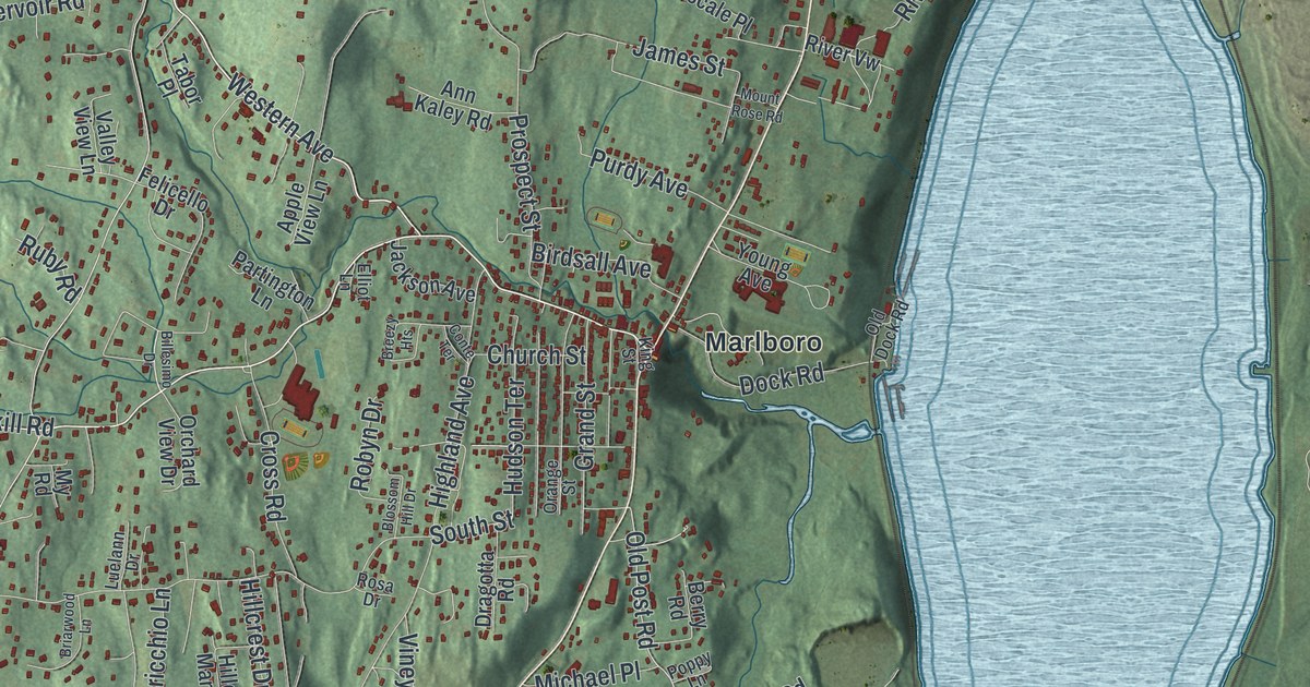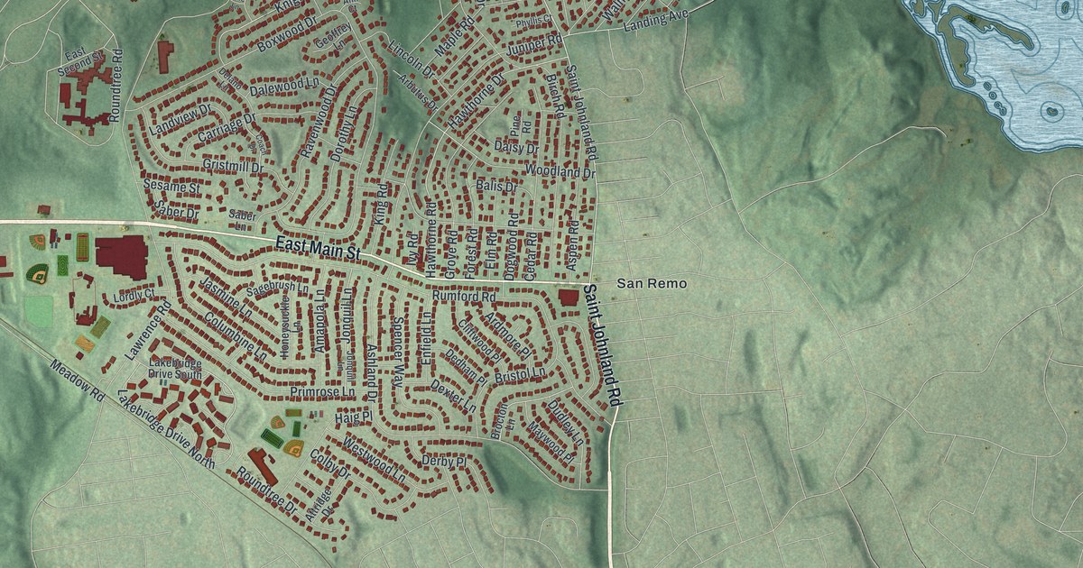
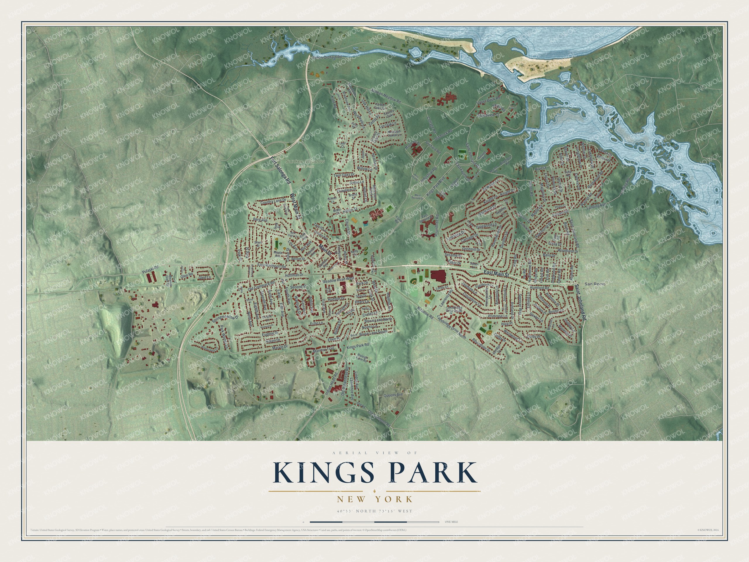
This beautifully detailed map of Kings Park, New York was created in 2026 using aerial imagery combined with modern topographical, census, street and landmark data. It’s a one-of-a-kind view of Kings Park that combines accurate data with a vintage aesthetic. The map shows every building in its true location, many of the roads carry their names, and the shaded topographic relief shows the shape of the land.
Explore an aerial view of Kings Park, New York
On the map you’ll find San Remo and Sunken Meadow State Park, along with Main Street, Saint Johnland Road, Fort Salonga Road, Indian Head Road, Hilden Street, and more. If you look closely you can even find your house accurately drawn in its correct location. Zoom in on the preview to look for yours.
Did You Know?
Kings Park was once called Indian Head. In 1885, Brooklyn’s Kings County opened an asylum here to ease crowding in its own hospitals. New York State took it over in 1895 and renamed it Kings Park State Hospital. The community then took the hospital’s name, and it kept it after the hospital closed in 1996.
Take a closer look at the Kings Park map
Names on this map
These names are printed on this map.
Places: Sunken Meadow State Park and San Remo.
Streets and roads: East Main Street, Saint Johnland Road, Main Street, West Main Street, Fort Salonga Road, Indian Head Road, Hilden Street, Church Street, Hobart Court, Kings Park Boulevard, Woodvale Lane, Cedar Place.
More street names, A to Z
4 Avenue, 5 Avenue, Acacia Road, Alder Drive, Amapola Lane, Ann Court, Arbutus Drive, Ardito Avenue, Ardmore Place, Ashland Drive, Aspen Road, Attridge Drive, Balboa Drive, Balis Drive, Beaver Drive, Bennet Street, Berg Avenue, Birch Road, Black Gum Tree Lane, Bowman Lane, Boxwood Drive, Bralo Court, Brand Street, Bristol Lane, Broadview Avenue, Brocton Lane, Bruce Lane, Bruce Lane North, Bruce Lane South, Burr Avenue, Byrd Court, Carlson Avenue, Carriage Drive, Cassata Court, Cedar Drive, Cedar Road, Cedar Street, Cedar Street North, Cliftwood Place, Coach Drive, Colby Drive, Collins Avenue, Columbine Lane, Cook Street, Cortez Lane, Cottage Road, Country Lane Drive, Country Oaks, Country Oaks Drive, Cypress Drive, Daisy Drive, Dalewood Lane, Dawson Avenue, Dedham Place, Delano Lane, Derby Place, Dexter Lane, Directors Road, Dogwood Road, Dorothy Lane, Drake Lane, Dudley Lane, East Fourth Street, East Northport Road, East Second Street, East Third Street, Echo Lane, Eighth Avenue, Ellen Place, Elm Road, Enfield Lane, Eugene Drive, Field 4 Orchard Road, Fifth Avenue, Fireplace Drive, First Avenue, Flynn Road, Forest Road, Fourth Avenue, Fourth Street, Garage Road, Geoffrey Lane, Gilmer Lane, Glen Lane, Glen Road, Gold Street, Gristmill Drive, Grove Road, Haig Place, Harbor Oaks Drive, Hawthorne Drive, Hawthorne Road, Heather Drive, Hemlock Drive, Henry Street, Hileen Drive, Hoffman Drive, Honeysuckle Lane, Hudson Drive, Indian Trce, Industrial Road, Ivy Road, Jasmine Lane, Jason Court, Jenna Court, Johnson Avenue North, Jonquil Lane, Jonquill Lane, Juniper Road, Kelly Court, King Road, Kings Park Road, King Street, Knight Drive, Knight Lane, Kohr Road, Lakebridge Drive North, Lakebridge Drive South, Lakeview Drive, Landing Avenue, Landing Road, Landview Drive, Lasalle Lane, Lawrence Avenue, Lawrence Road, Leaf Court, Lincoln Drive, Linden Avenue, Locust Drive, Longfellow Drive, Lordly Court, Lou Avenue, Lumber Drive, Lyn Oak Lane, Magellan Avenue, Magnolia Drive, Manitou Trail, Maple Avenue, Maple Hill Road, Maple Road, Mapleview Place, Mariner Road, Marvin Drive, Maywood Place, Meadow Glen Road, Meadow Road, Meadow Road West, Mountain Laurel Lane, New Dairy Lane, Ninth Avenue, Norma Lane, Oak Hill Lane, Okst Street, Old Commack Road, Old Dock Road, Old Indianhead Road, Old Northport Road, Old Road, Orchard Road, Orchid Drive, Park Avenue, Park Drive, Park Street, Park Woods Lane, Patiky Street, Peary Lane, Phyllis Court, Pine Road, Primrose Lane, Pulaski Road, Queen Road, Queens Avenue, Raleigh Farm Road, Raleigh Lane, Ravenwood Drive, Renwick Avenue, Riviera, Riviera Drive, Robin Lane, Rosewood Road, Roundtree Drive, Roundtree Road, Rumford Road, Saber Drive, Saber Lane, Sagebrush Lane, Sea View Court, Second Street, Sesame Street, Seventh Avenue, Shay Drive, Shirley Place, Shore Road, Short Street, Sixth Avenue, Soundview Court, Spencer Way, Springmeadow Drive, Stattel Drive, Student Road, Sunken Meadow Road, Terrill Lane, Thistle Lane, Thompson Street, Tulip Road, Twin Oaks Drive, Upper Dock Road, Valley Road, Violet Road, Walnut Road, Wartburg Drive, West Drive, West Second Street, West Third Street, Westwood Lane, Whittier Drive, Willow Lane, Winnecomac Circle, Woodland Drive, Woodvale Avenue, Yale Lane.
See it on a wall
The Kings Park map as a framed print. Swipe for more.


This beautifully detailed map of Kings Park makes an attractive addition to your office, library, or den, and it can even be used to teach children the geography and history of the area. It also makes a great gift for anyone with Kings Park roots. When you’re done exploring, click here to get your copy of the Kings Park map.