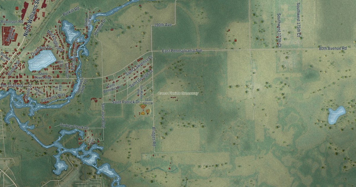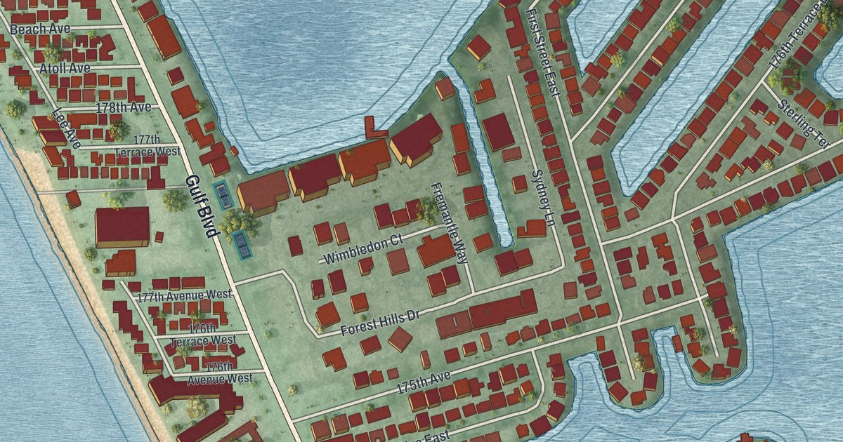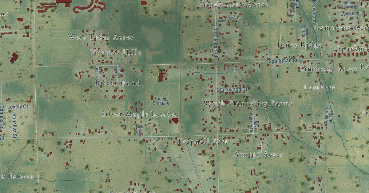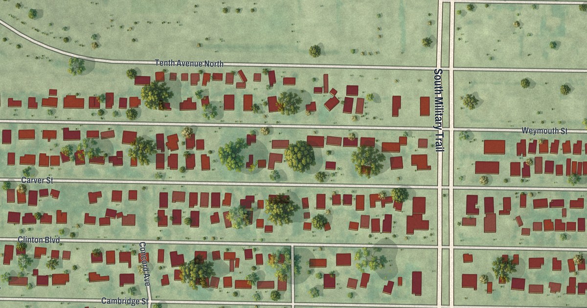
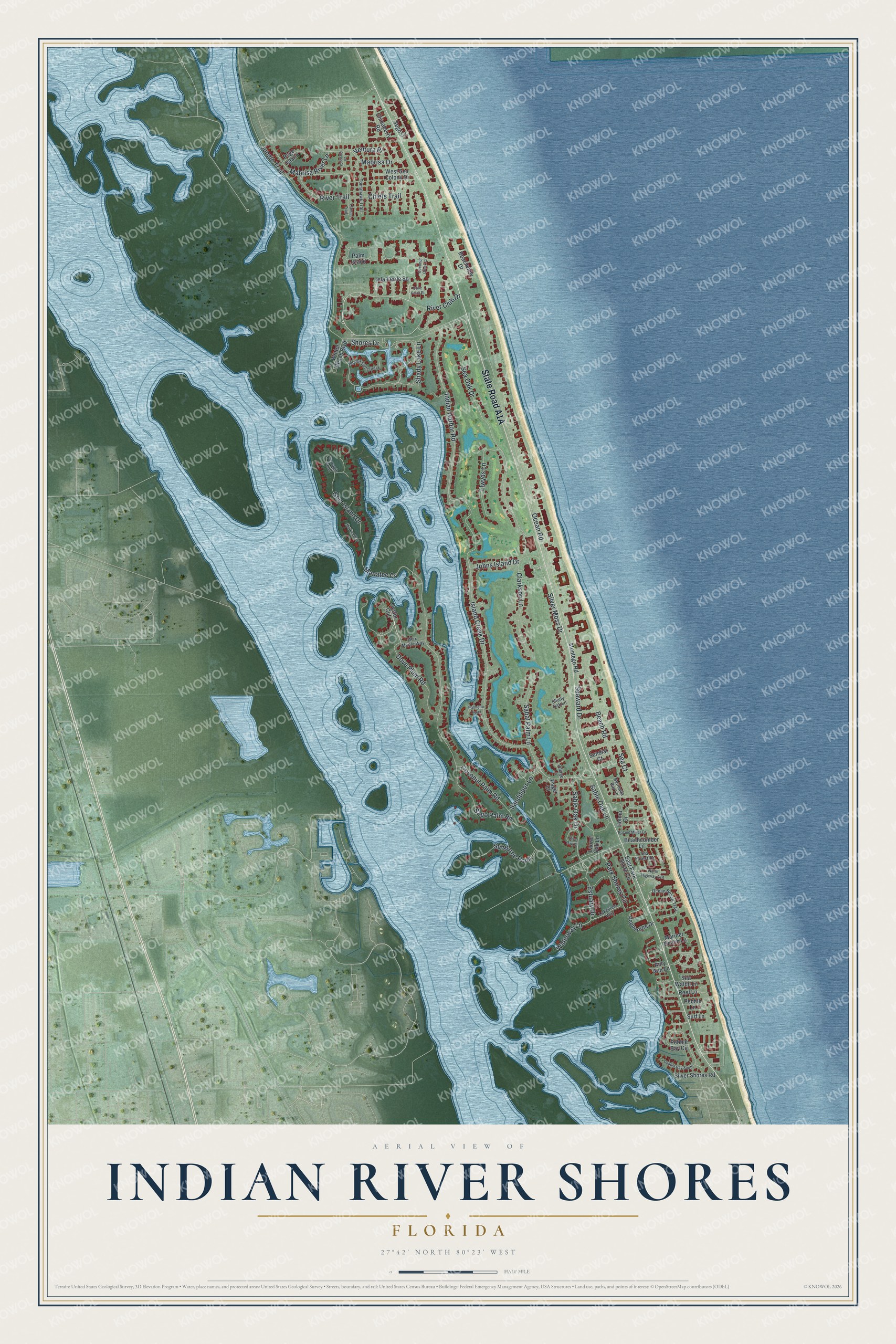
This beautifully detailed map of Indian River Shores, Florida was created in 2026 using aerial imagery combined with modern topographical, census, street and landmark data. It’s a one-of-a-kind view of Indian River Shores that combines accurate data with a vintage aesthetic. The map shows every building in its true location, many of the roads carry their names, and the shaded topographic relief shows the shape of the land.
Explore an aerial view of Indian River Shores, Florida
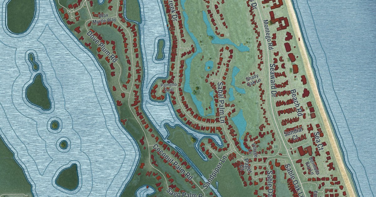
On the map you’ll find Manatee Cv, along with State Road A1A, Dove Plum Road, Sable Oak Drive, Beach Road, Sea Oak Drive, Indian Harbor Road, Johns Island Drive, Ocean Road, Coconut Palm Road, Silver Moss Drive, Shores Drive, and more. If you look closely you can even find your house accurately drawn in its correct location. Zoom in on the preview to look for yours.
Take a closer look at the Indian River Shores map
Names on this map
These names are printed on this map.
Streets and roads: Dove Plum Road, Sable Oak Drive, Manatee Cv, Beach Road, Sea Oak Drive, Indian Harbor Road, Johns Island Drive, Ocean Road, Coconut Palm Road, Silver Moss Drive, Shores Drive, Island Creek Drive.
More street names, A to Z
Amy Ann Lane, Beachcomber Lane, Beachview Drive, Bermuda Bay Lane, Canoe Trail, Chiefs Trail, Chinaberry Road, Clarkson Lane, Coconut Creek Court, Cove Point Place, East Park Shore Circle, Estuary Drive, Gem Island Drive, Holma Drive, Island Sanctuary, Isla Verde Square, Jungle Trail, La Costa Court, Lakeview Way, Laurel Oak Lane, Llwyds Lane, Mabrisa Drive, Mabrisa River Lane, Mariner Beach Lane, Marker Way, Montego Road, Ocean Beach Trail, Oyster Cut, Paget Court, Palmetto Point, Palm Island, Park Shores Circle, Pebble Bay Circle, Pebble Bay South, Pebble Lane, Peppertree Drive, Psge Island, Reef Lane, River Club Drive, River Oak Drive, River Trail, Roland Miller Drive, Sabal Palm Lane, Sable Oak Lane, Sago Palm Road, Sandpiper Lane, Sea Court, Sea Forest Drive, Seaward Drive, Sea Watch Lane, Sego Lane, Shady Lake Lane, Shady Oak Lane, Silver Shores Road, Stingaree Point, Sundial Court, Surf Lane, Terrapin Point, Tomahawk Trail, Ventura Place, Village Lane, Waterway Lane, Wax Myrtle Way, West Sea Colony Drive, Winter Beach Boulevard.
See it on a wall
The Indian River Shores map as a framed print. Swipe for more.


This beautifully detailed map of Indian River Shores makes an attractive addition to your office, library, or den, and it can even be used to teach children the geography and history of the area. It also makes a great gift for anyone who grew up in Indian River Shores or moved away. When you’re done exploring, click here to get your copy of the Indian River Shores map.