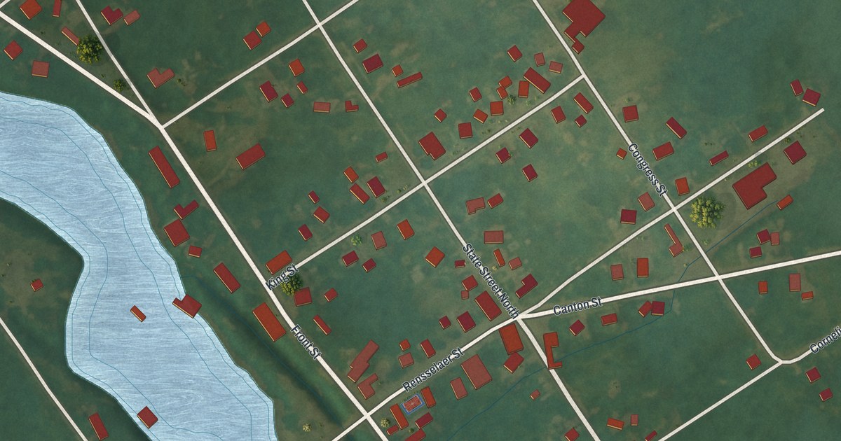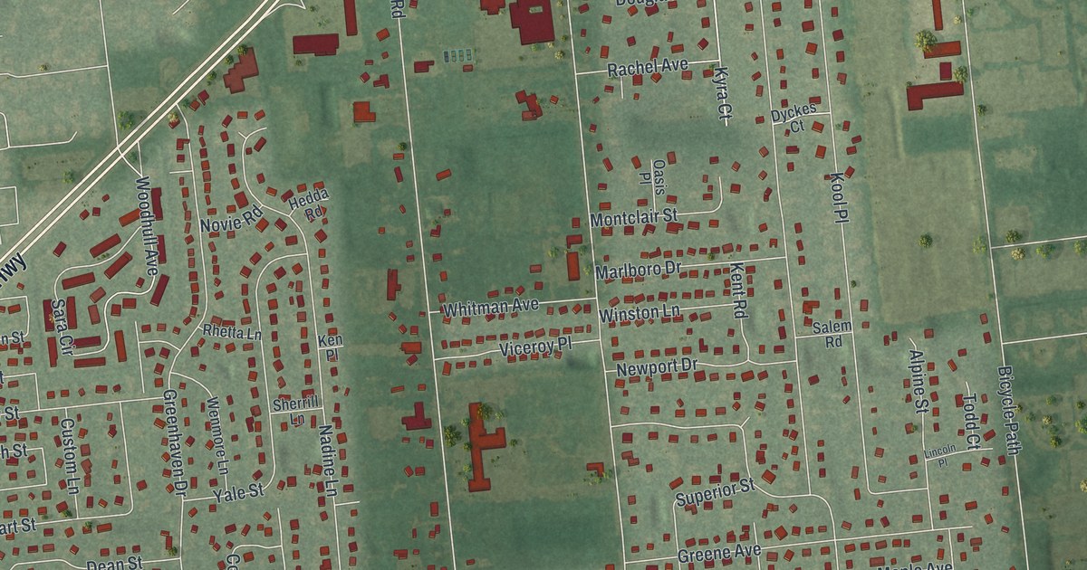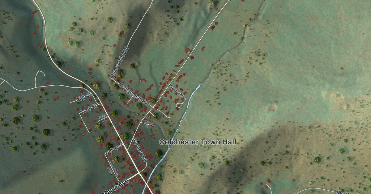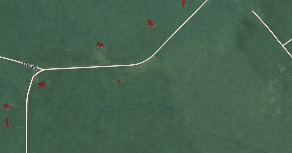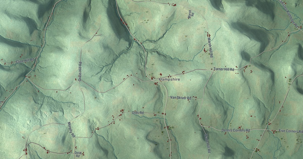
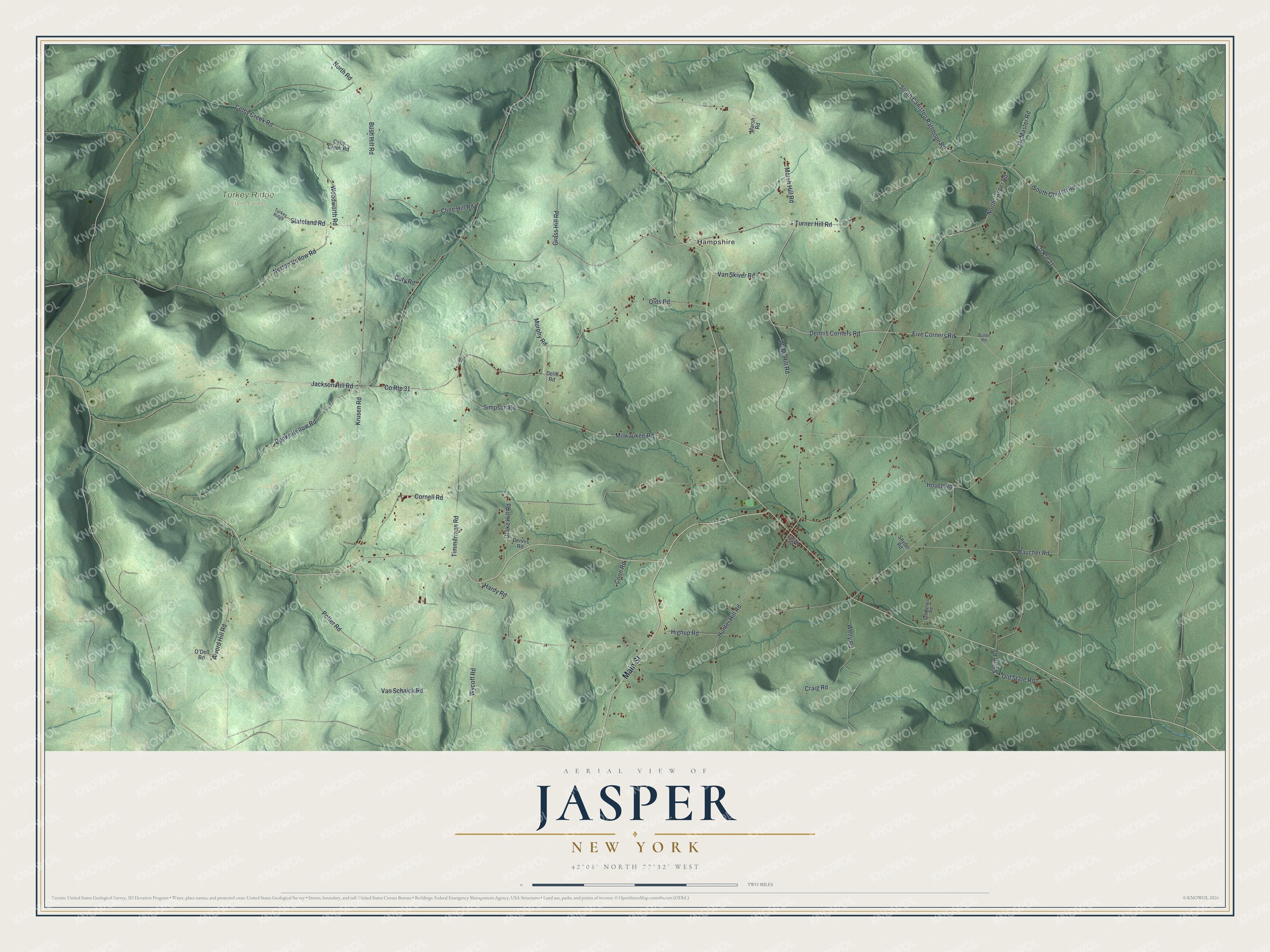
This beautifully detailed map of Jasper, New York was created in 2026 using aerial imagery combined with modern topographical, census, street and landmark data. It’s a one-of-a-kind view of Jasper that combines accurate data with a vintage aesthetic. The map shows every building in its true location, many of the roads carry their names, and the shaded topographic relief shows the shape of the land.
Explore an aerial view of Jasper, New York
On the map you’ll find Hampshire and Turkey Ridge State Forest, along with Main Street, Five Corners Road, Dennis Corners Road, Jackson Hill Road, Smith Road, and more. If you look closely you can even find your house accurately drawn in its correct location. Zoom in on the preview to look for yours.
Did You Know?
Jasper carries the name of William Jasper, a soldier hailed as a hero at Fort Moultrie. Settlers first came around 1807, and the town was formed in 1837. Frederick Walrath, a noted ceramics artist, spent his boyhood in Jasper after his birth there in 1871.
Take a closer look at the Jasper map
Names on this map
These names are printed on this map.
Places: Hampshire and Turkey Ridge State Forest.
Streets and roads: Main Street, Five Corners Road, Dennis Corners Road, Jackson Hill Road, Smith Road, South Canisteo Rathbone Road, County Route 31, Milwaukee Road, Highup Road, North Jasper Road, Timmerman Road, North Road.
More street names, A to Z
Alvord Hill Road, Banks Hollow Road, Baucher Road, Bush Hill Road, Butler Road, Caby Creek Road, Cline Hill Road, Colby Creek Road, Coon Road, Cornell Road, County Route 21, Craig Road, Delill Road, Dennis Road, Doty Road, Drake Hill Road, Grass Hill Road, Hardy Road, House Road, Hunter Hill Road, Krusen Road, Library Street, Marsh Hill Road, Marsh Road, McMaster Road, Murphy Road, Norton Hollow Road, O'Dell Road, Olds Road, Old State Road, Potter Road, Saddletree Road, Simpson Road, Snyder Road, South Church Road, Stateland Road, Turkey Ridge, Turner Hill Road, Van Schaick Road, Van Skiver Road, Wade Hill Road, Welty Road, Woodworth Road, Wycoff Road.
See it on a wall
The Jasper map as a framed print. Swipe for more.


This beautifully detailed map of Jasper makes an attractive addition to your office, library, or den, and it can even be used to teach children the geography and history of the area. It also makes a great gift for anyone who grew up in Jasper or moved away. When you’re done exploring, click here to get your copy of the Jasper map.