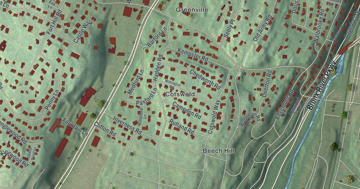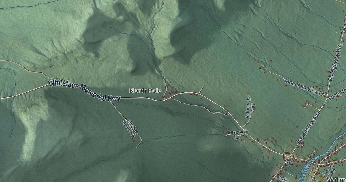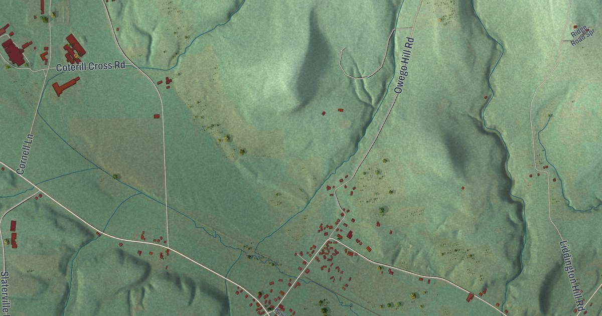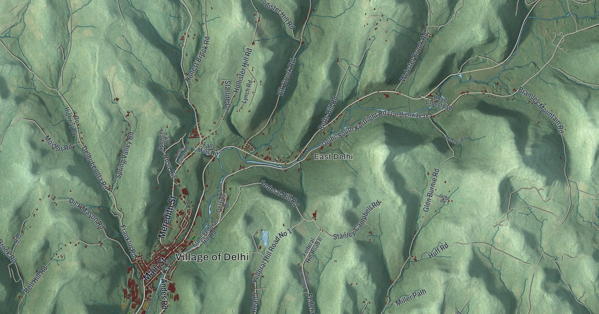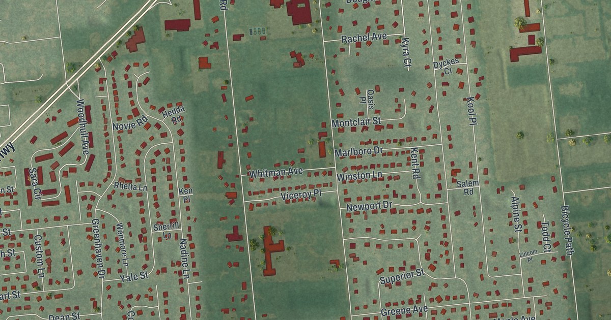
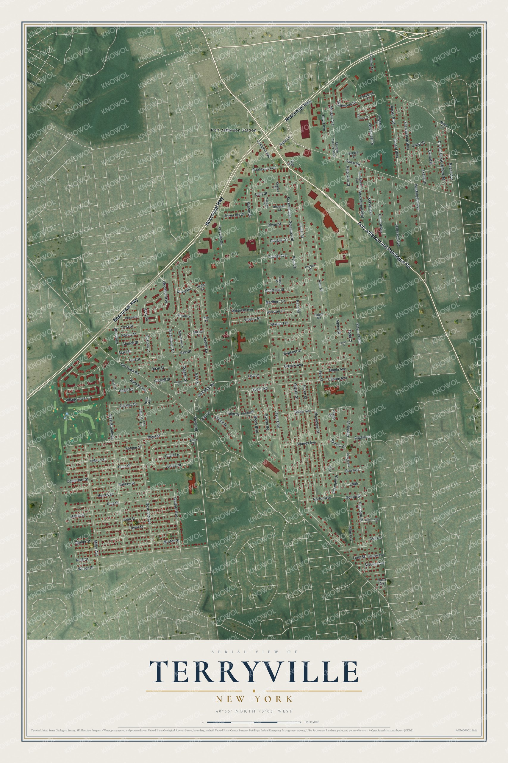
This beautifully detailed map of Terryville, New York was created in 2026 using aerial imagery combined with modern topographical, census, street and landmark data. It's a modern aerial view of Terryville in Suffolk County, New York, that combines modern data with a vintage aesthetic. The roads feature printed names, and if you look closely you can find your exact house accurately shown in its correct location.
Explore an aerial view of Terryville, New York
On this map you'll find Port Jefferson Station, Port Jefferson and Patchogue Road, Nesconset Highway, Half Mile Road, Boyle Road, Scranton Road, Canal Road, Scranton Avenue, Hansen Avenue, Gary Street, Kyra Court, Old Town Road, and more. Each red shape is a building, so zoom in on the preview and look for yours.
Terryville is a community in Suffolk County. The Census Bureau counted 11,472 people here in 2020. The map prints the town name in its title panel, with the coordinates below it.
Take a closer look at the Terryville map
Names on this map
These names are printed on this map.
Places: Port Jefferson Station.
Streets and roads: Port Jefferson and Patchogue Road, Nesconset Highway, Half Mile Road, Boyle Road, Scranton Road, Canal Road, Scranton Avenue, Hansen Avenue, Gary Street, Kyra Court, Old Town Road, Bicycle Path.
More street names, A to Z
Alpine Street, Angela Lane, Angst Road, Antonelli Drive, Applewood Court, Beach Avenue, Bedford Avenue, Birchwood Court, Block Boulevard, Broadway, Brookhaven Avenue, Brookhaven Boulevard, Cayla Lane, Central Avenue, Champlain Street, Charles Court, Chautauqua Street, Church Street, Clinton Avenue, Clymer Street, Colgate Street, Comerford Street, Cornell Street, Crown Street, Crystal Brook Hollow Road, Cully Street, Custom Lane, Davis Avenue, Dean Street, Debbie Street, Dillon Avenue, Douglas Street, Dyckes Court, Edgewood Court, Edith, Elizabeth Lane, Erica Drive, Erie Street, Evelyn Road, Exeter Drive, Fairway Drive, Fleetwood Court, Fradelos Street, Greene Avenue, Greenhaven Drive, Halsey Street, Hans Avenue, Hart Street, Harvard Street, Hedda Road, Hewes Street, Hooper Street, Huron Street, Hurtin Street, Irving Street, Ithaca Avenue, Janet Street, Jayne Boulevard, Jefferson Avenue, John Street, Joline Road, Junard Boulevard, Junaro Boulevard, Justin Circle, Kelsey Avenue, Ken Place, Kent Road, Kestler Court, King Street, Kool Place, Lamport Avenue, Lebrun Street, Lee Lane, Lilac Lane, Lincoln Place, Lindsey Drive, Lisa Lane, Long Street, Maple Avenue, Marlboro Drive, Miles Lane, Miller Avenue, Montclair Street, Morgan Avenue, Morgan Avenue North, Morton Street, Nadine Lane, Newport Drive, Norton Avenue, Norton Street, Nostrand Avenue, Novie Road, Oasis Place, Oliver Street, Olivia Drive, Ontario Street, Orange Avenue, Orchid Drive, Otsego Street, Oxford Drive, Pagnotta Drive, Patty Ann Court, Penn Street, Peters Lane, Rachel Avenue, Rebecca Court, Rhetta Lane, Rodney Street, Roe Avenue, Roosevelt Avenue, Rose Lane, Rush Street, Salem Road, Sara Circle, School Drive, Seneca Court, Shenandoah Boulevard, Sherrill Lane, Spruce Street, Squires Avenue, Starr Street, State Street, Sullivan Avenue, Superior Street, Susan Road, Taylor Street, Tee Lane, Terryville Road, Todd Court, Tulip Drive, University Drive, Viceroy Place, Village Green Drive, Washington Avenue, Wenmore Lane, West Broadway, Whitman Avenue, Wilma Drive, Wilson Street, Winston Lane, Woodcrest Drive, Woodhull Avenue, Woods Drive, Wyoming Avenue, Yale Street, Yava Street.
See it on a wall
The Terryville map as a framed print. Swipe for more.


Created by KNOWOL in 2026. The buildings are small red shapes, the roads carry their printed names, and shaded relief shows the shape of the land. The title panel reads "AERIAL VIEW OF TERRYVILLE, NEW YORK" with 40°55' NORTH 73°03' WEST.
Hang it in the hallway, the office or the cabin, or give it to someone who left Terryville and still calls it home. Open the preview and look for a street you know. See sizes and frames for the Terryville map.