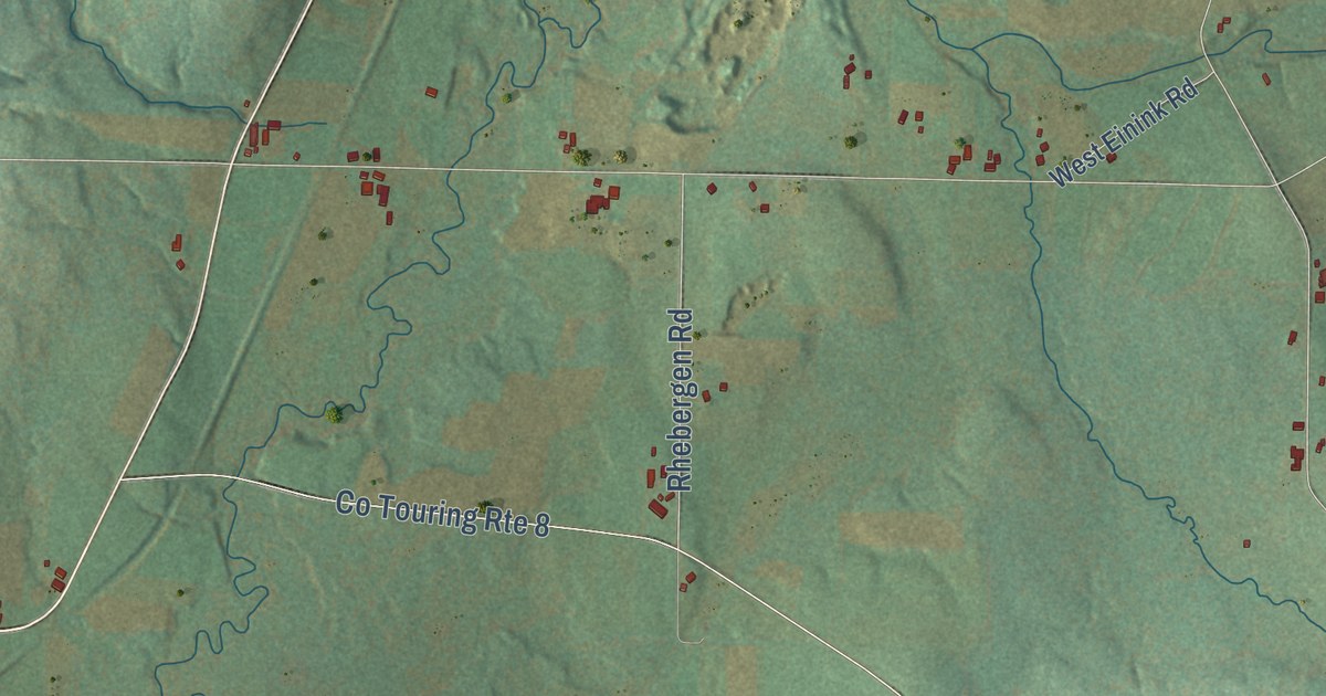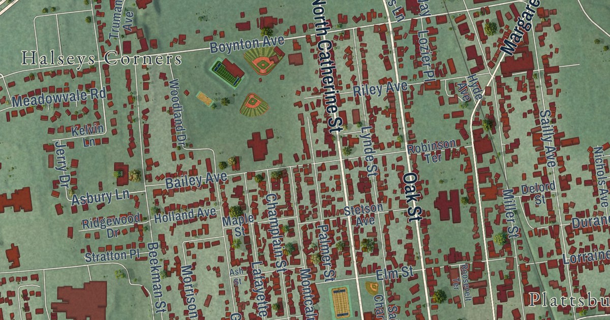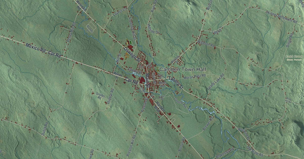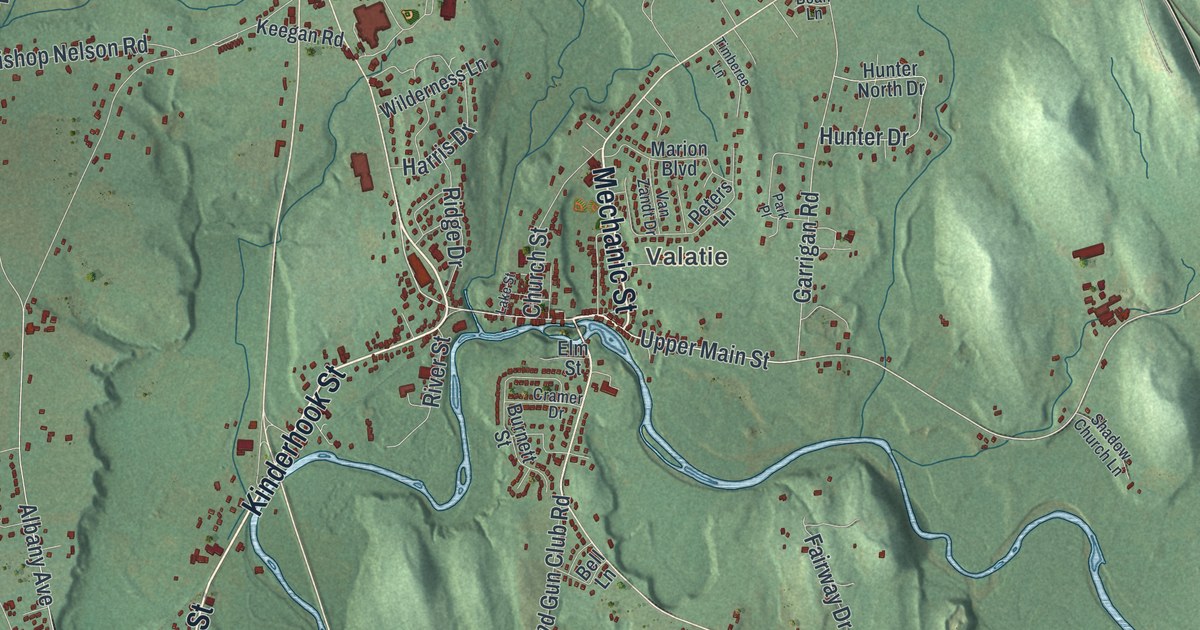
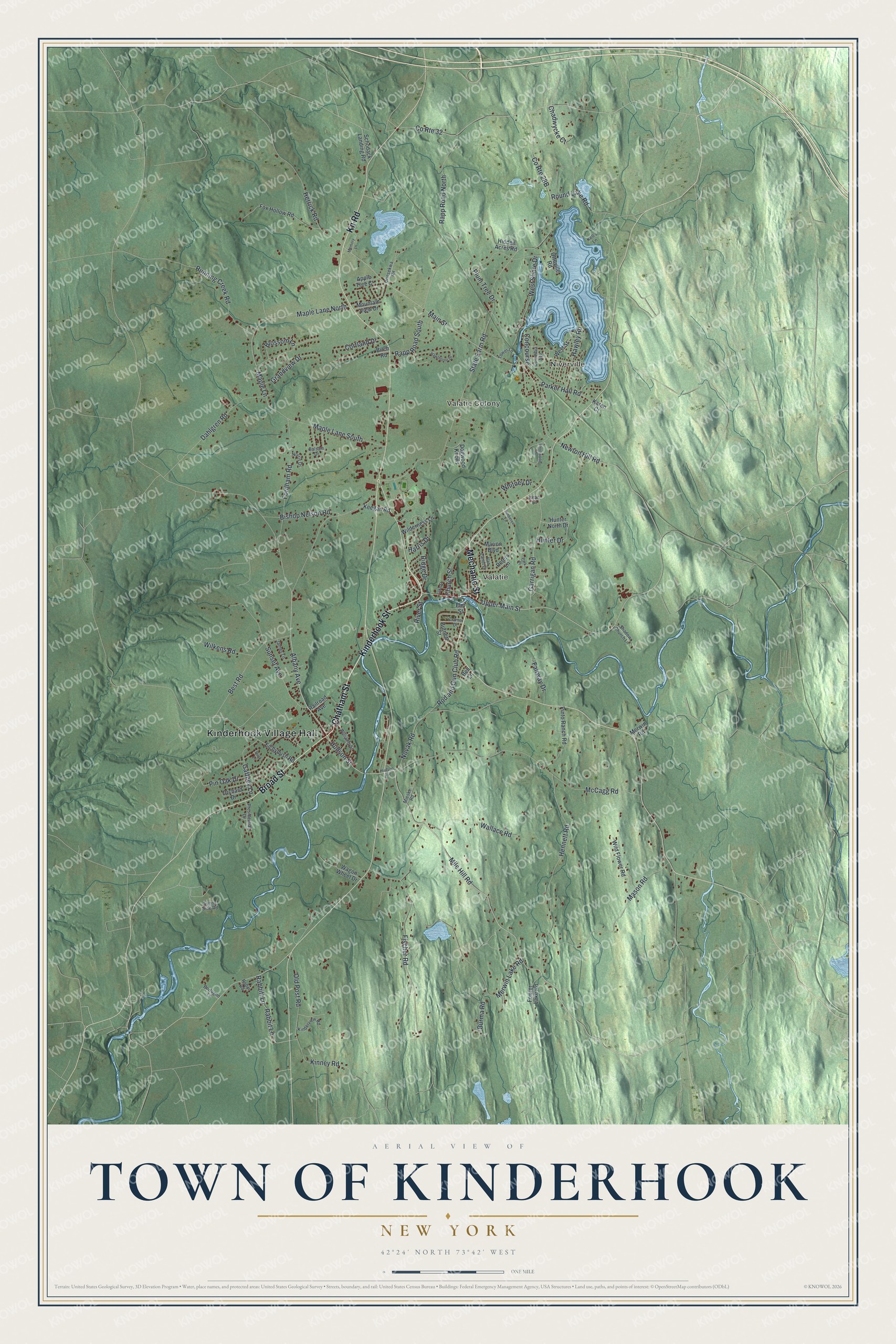
This beautifully detailed map of the Town of Kinderhook, New York was created in 2026 using aerial imagery combined with modern topographical, census, street and landmark data. It’s a one-of-a-kind view of the Town of Kinderhook that combines accurate data with a vintage aesthetic. The map shows every building in its true location, many of the roads carry their names, and the shaded topographic relief shows the shape of the land.
Explore an aerial view of the Town of Kinderhook, New York
On the map you’ll find Kinderhook Village Hall, Niverville, Valatie Colony, and Valatie, along with Chatham Street, Kinderhook Street, Mechanic Street, Broad Street, and more. If you look closely you can even find your house accurately drawn in its correct location. Zoom in on the preview to look for yours.
Did You Know?
Kinderhook comes from Dutch words meaning children’s corner. The area was settled before 1651, and it became one of the original towns of Columbia County in 1788. Martin Van Buren, the eighth president of the United States, was born here and later came home to retire.
Take a closer look at the Town of Kinderhook map
Names on this map
These names are printed on this map.
Places: Kinderhook Village Hall, Niverville, Valatie Colony and Valatie.
Streets and roads: Chatham Street, Kinderhook Street, Mechanic Street, Broad Street, Kn Road, Albany Avenue, Main Street, Hudson Street, Mile Hill Road, Upper Main Street, Garrigan Road, Maple Lane North.
More street names, A to Z
Apple Tree Court, Balsam Drive, Bean Lane, Bell Lane, Best Road, Birch Road, Bishop Nelson Road, Blossom Lane, Bortugno Lane, Burma Road, Burnett Street, Chadwycke Court, Church Street, Columbia Avenue, Concourse, Cortland Drive, County Route 32, Cramer Drive, Dahlgren Road, Dogwood Knolls, Duck Lane, Eichybush Road, Elm Street, Fairway Drive, Fischer Road, Fordham Road, Fowler Lake Road, Fox Hollow Road, Gaffney Lane, Grandview Drive, Harris Drive, Hawley Road, Hawthorne Drive, Hennett Road, Herrick Road, Hidden Acres Road, Hudson Avenue, Hunter Drive, Hunter North Drive, James Lane, Karen Court, Keegan Road, Kell's Lane, Kinderview Road, Kinney Road, Knollwood Drive, Lake Street, Maple Lane, Maple Lane South, Marion Boulevard, Mason Road, McCagg Road, Memory Lane, Merwin Lake Road, Merwin Road, Mieske Road, Mountain View Drive, Newton Hill Road, Norris Drive, Novak Road, Old Post Road, Orchard Drive, Orinsekwa Road, Ottoville Road, Parker Hall Road, Park Place, Peters Lane, Pin Oak Drive, Pinto Ranch Road, Plum Tree Drive, Presidential Drive, Rabbit Lane, Rabbitt Lane, Railroad Avenue, Rapp Road North, Rapp Road South, Ridge Drive, River Street, Robin Road, Rod and Gun Club Road, Round Lake Road, Running Creek Road, Schodack Landing Road, Shadow Church Lane, State Farm Road, Sunny Side Road, Sunset Avenue, Timberee Lane, Tower Lane, Van Zandt Drive, Wagon Wheel Drive, Wallace Road, West Shore Drive, West Street, Whitney Drive, Wilderness Lane, Wild Flower Road, Wilkens Road, Williams Street.
See it on a wall
The Kinderhook map as a framed print. Swipe for more.


This beautifully detailed map of the Town of Kinderhook makes an attractive addition to your office, library, or den, and it can even be used to teach children the geography and history of the area. It also makes a great gift for someone who left the Town of Kinderhook and still calls it home. When you’re done exploring, click here to get your copy of the Town of Kinderhook map.