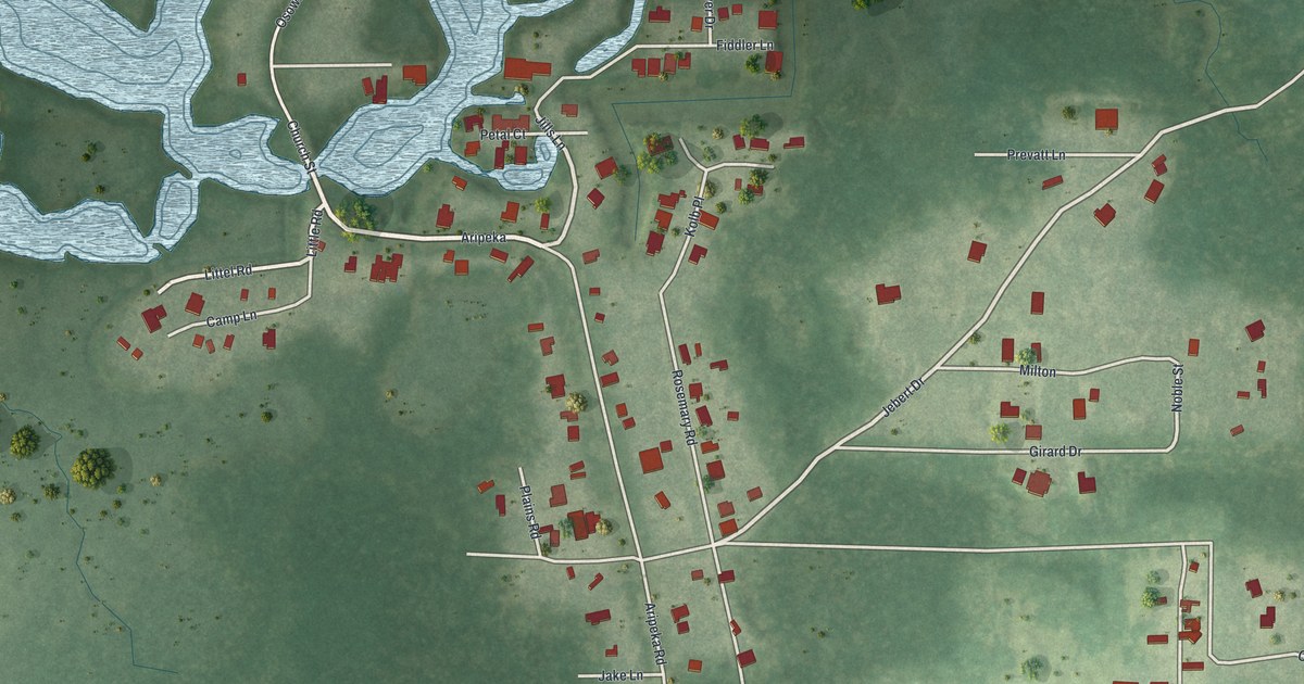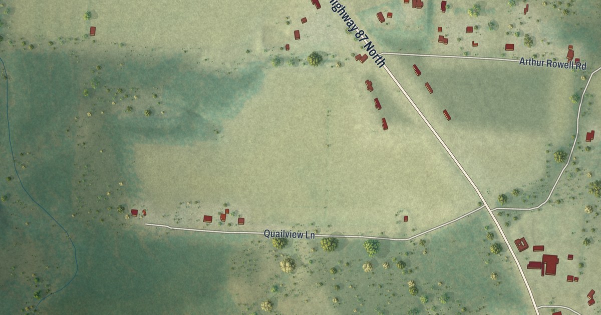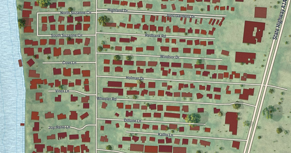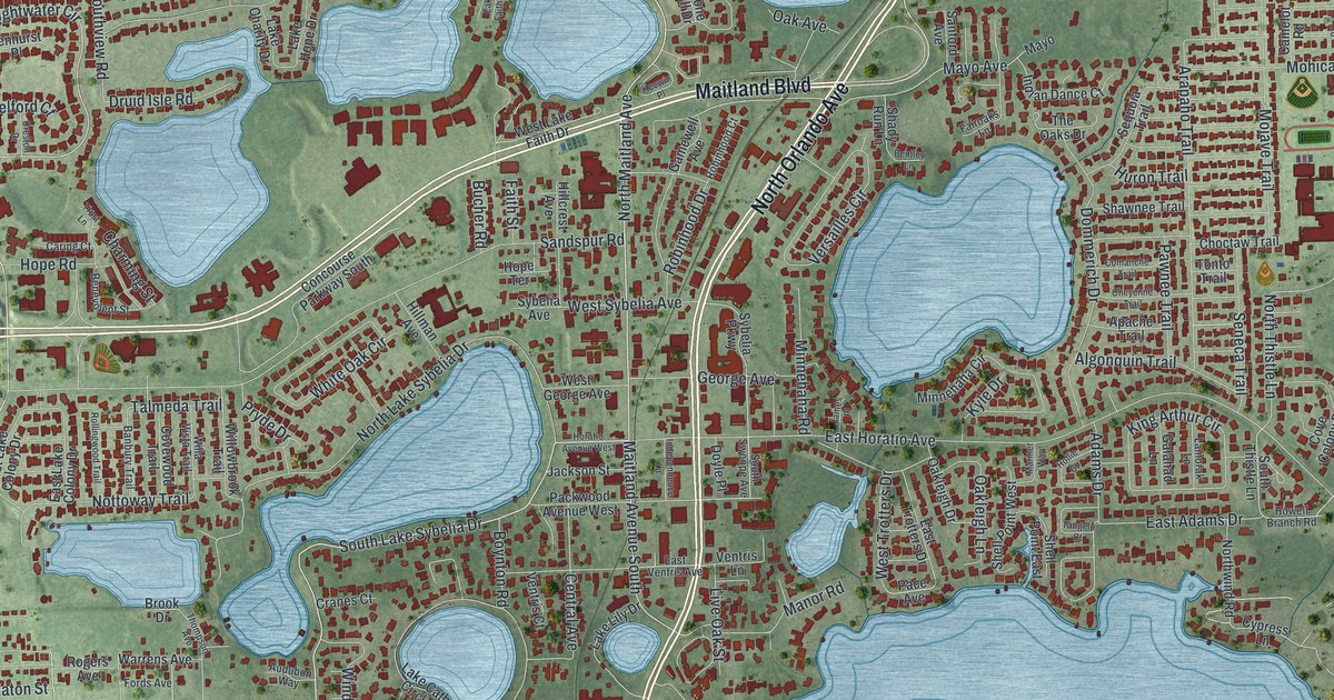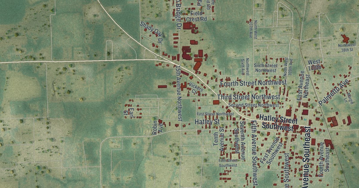
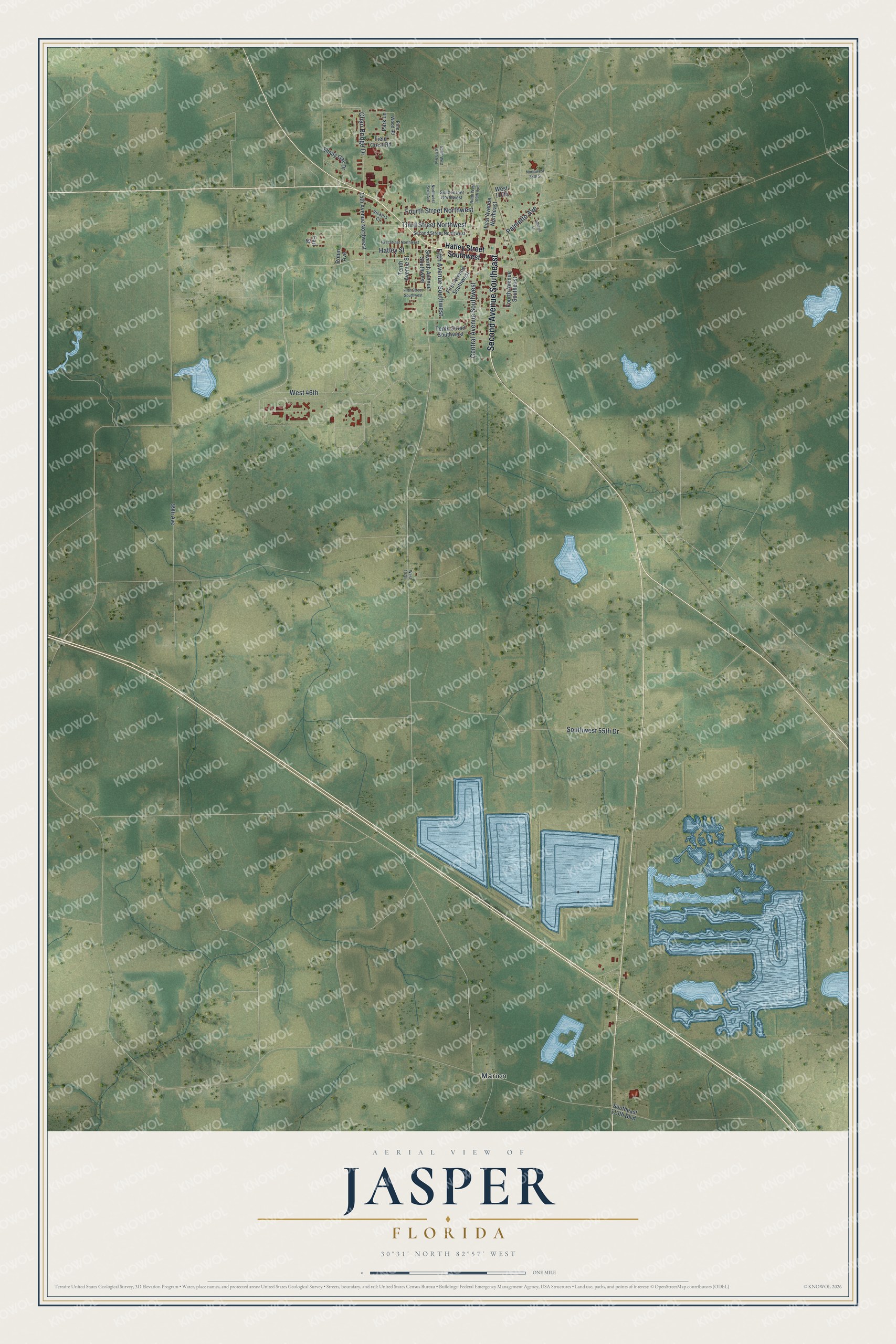
This beautifully detailed map of Jasper, Florida was created in 2026 using aerial imagery combined with modern topographical, census, street and landmark data. It’s a one-of-a-kind view of Jasper that combines accurate data with a vintage aesthetic. The map shows every building in its true location, many of the roads carry their names, and the shaded topographic relief shows the shape of the land.
Explore an aerial view of Jasper, Florida
On the map you’ll find Marion and West 46th, along with Second Avenue Southeast, Third Street Northwest, Hatley Street, Palmetto Avenue, Central Avenue Southwest, Fourth Street Northwest, Chan Bridge Drive, Southwest 55th Drive, Fifth Avenue Southwest, Hatley Street Southwest, and more. If you look closely you can even find your house accurately drawn in its correct location. Zoom in on the preview to look for yours.
Did You Know?
In 1840, some settlers called this place Pulaski, while others preferred Wall. By local legend, Daniel Bell, said to be the county’s first settler, disliked those names. He and friends proposed a new name honoring Revolutionary War veteran William Jasper. The Jasper Post Office opened in 1841 and settled the question.
Take a closer look at the Jasper map
Names on this map
These names are printed on this map.
Places: Marion.
Streets and roads: Second Avenue Southeast, Third Street Northwest, West 46th, Hatley Street, Palmetto Avenue, Central Avenue Southwest, Fourth Street Northwest, Chan Bridge Drive, Southwest 55th Drive, Fifth Avenue Southwest, Hatley Street Southwest, West 110th.
More street names, A to Z
15th Avenue Northwest, 99th Avenue, Earl Street, Field Crest Road, Fifth Street Southwest, First Avenue Northeast, First Avenue Southwest, First Street Northwest, Fourth Avenue Southeast, Margie Lane, Northwest 38th Street, North West 107th Avenue, North West 109th Avenue, Northwest Sixth Avenue, Park Lane, Pine Wood Road, Robin Avenue, Second Street Northwest, Seventh Avenue Southwest, Shady Oak Drive, Sixth Street Northwest, Southeast 113th Boulevard, Tenth Avenue Street, Tenth Street Southwest, Vickers Court, West 107th.
See it on a wall
The Jasper map as a framed print. Swipe for more.


This beautifully detailed map of Jasper makes an attractive addition to your office, library, or den, and it can even be used to teach children the geography and history of the area. It also makes a great gift for anyone with Jasper roots. When you’re done exploring, click here to get your copy of the Jasper map.