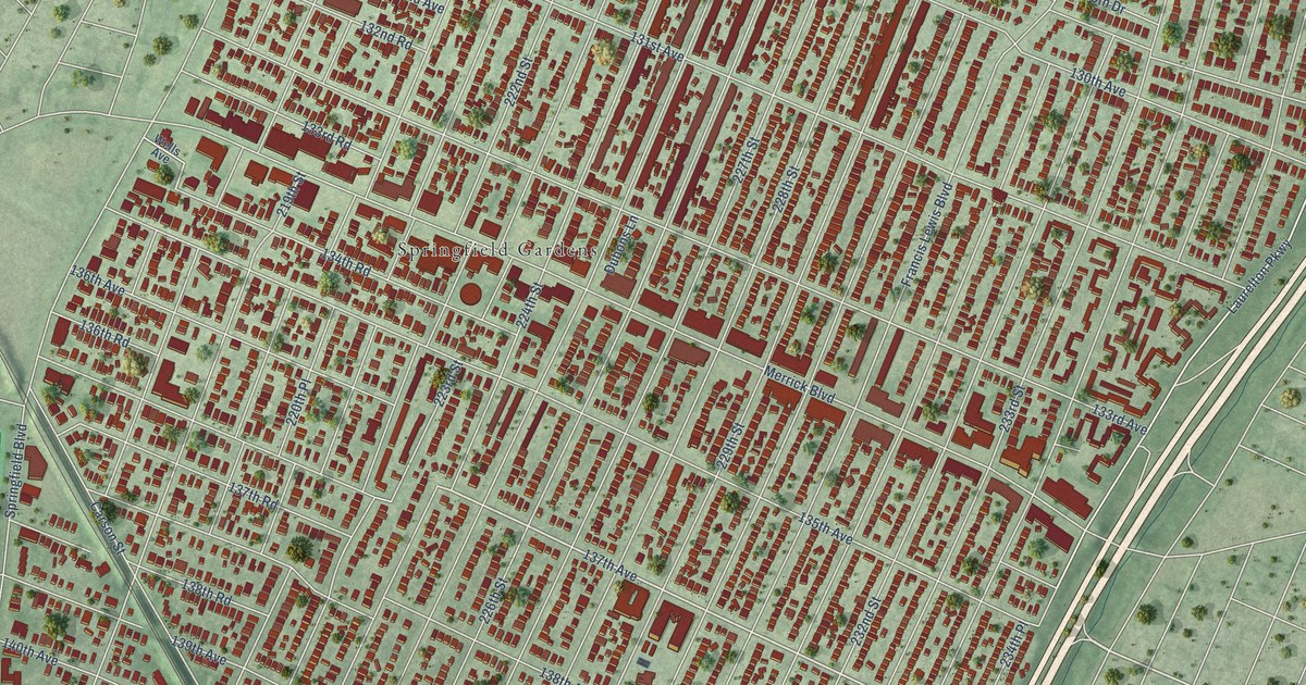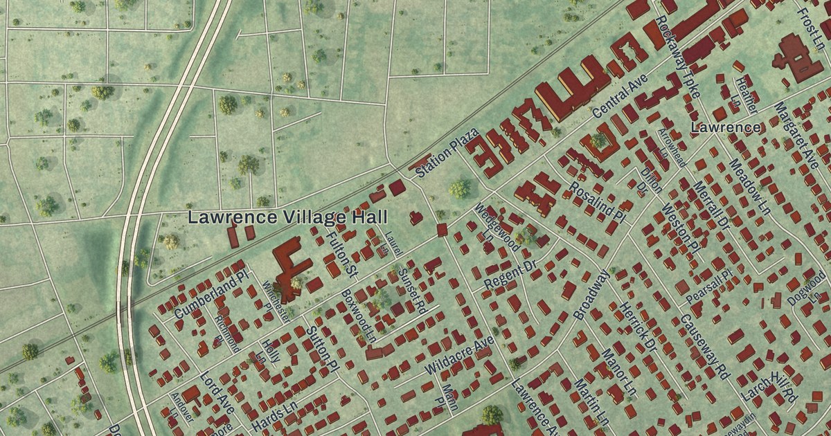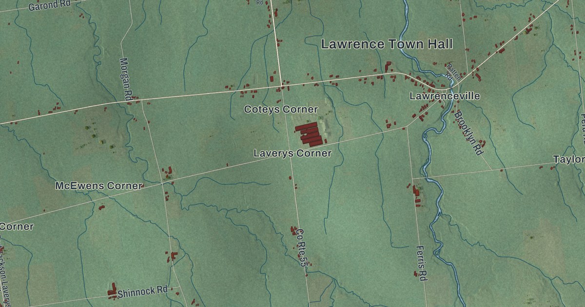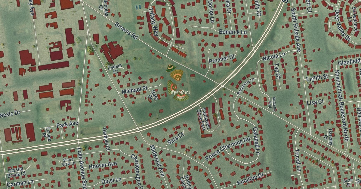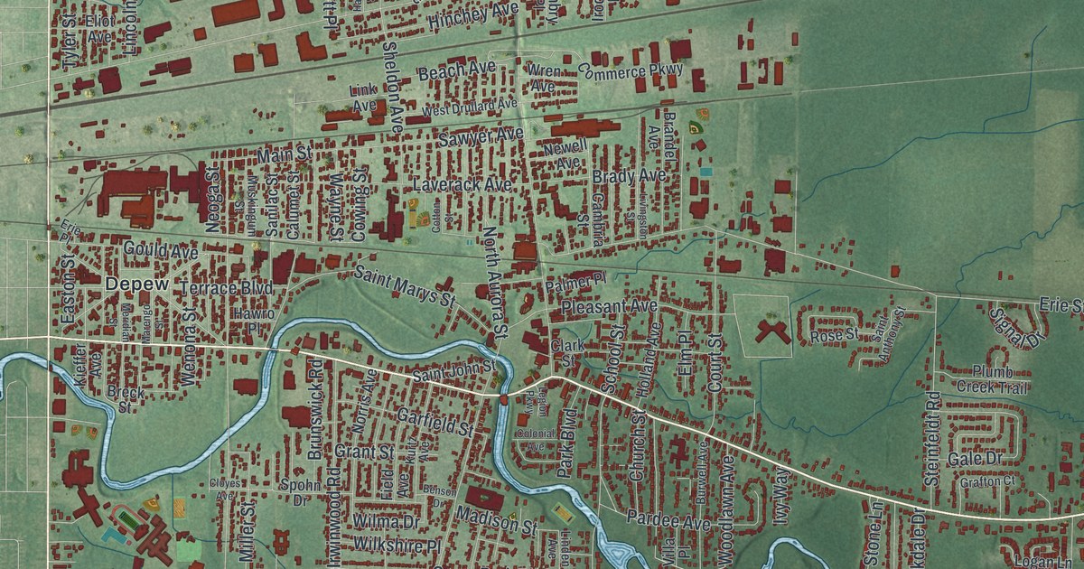
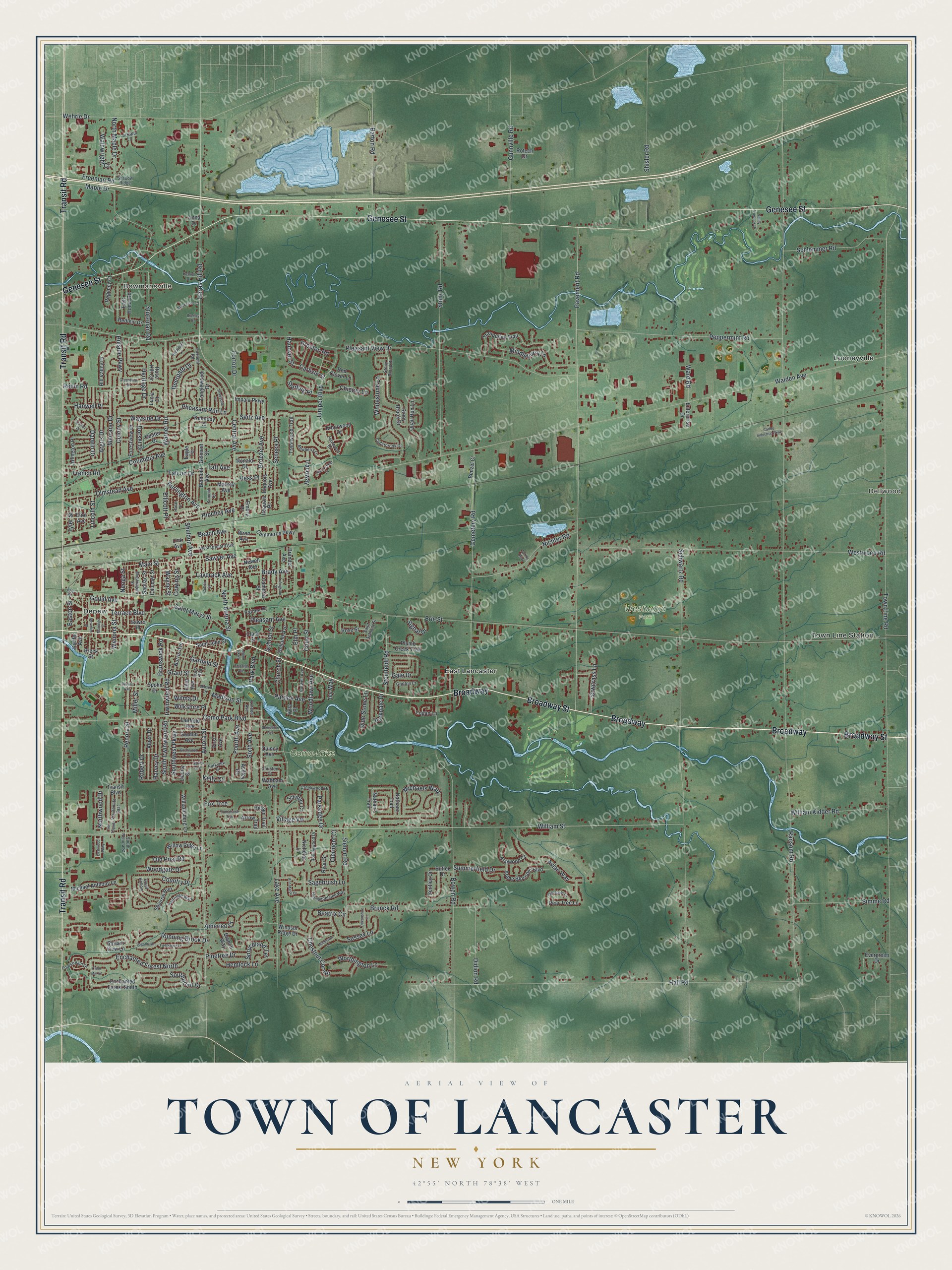
This beautifully detailed map of the Town of Lancaster, New York was created in 2026 using aerial imagery combined with modern topographical, census, street and landmark data. It’s a one-of-a-kind view of the Town of Lancaster that combines accurate data with a vintage aesthetic. The map shows every building in its true location, many of the roads carry their names, and the shaded topographic relief shows the shape of the land.
Explore an aerial view of the Town of Lancaster, New York
On the map you’ll find Bowmansville, Dellwood, Depew, East Lancaster, Looneyville, Como Lake Park, and Westwood Park, along with Broadway Street, Transit Road, Genesee Street, Central Avenue, Harris Hill Road, and more. If you look closely you can even find your house accurately drawn in its correct location. Zoom in on the preview to look for yours.
Did You Know?
In 1803 the Holland Land Company made its first land sale in what became Lancaster. The town was formed from Clarence in 1833 and took the name of Lancaster, Massachusetts. It holds the Warren Hull House, the oldest stone building in Erie County.
Take a closer look at the Town of Lancaster map
Names on this map
These names are printed on this map.
Places: Bowmansville, Dellwood, Como Lake Park, Westwood Park, Depew, East Lancaster, Looneyville and Town Line Station.
Streets and roads: Broadway, Broadway Street, Transit Road, Genesee Street, Central Avenue, Harris Hill Road, Ellicott Place, Northwood Drive, Enchanted Forest North, Pheasant Run Lane, Harvey Drive, Southwest Parkway.
More street names, A to Z
Albert Drive, Americo Court, Anna Drive, Ann Marie Drive, Apple Blossom Boulevard, Arborwood Drive, Argus Drive, Arlington Place, Arrow Trail, Ashley Drive, Ashwood Court, Aurora Street, Avian Way, Barton Road, Beach Avenue, Beatrix Circle, Belmont Avenue, Belmont Street, Benson Drive, Bentley Circle, Benzel Court, Blackstone Court, Bowen Road, Bradley Drive, Brady Avenue, Branch Way, Brandel Avenue, Breck Street, Briarwood Drive, Bridlepath Lane, Brocton Road, Broezel Avenue, Brunck Road, Brunswick Road, Burlington Avenue, Burwell Avenue, Butler Drive, Cadby Industrial Parkway, Calumet Street, Cambria Street, Carlisle Street, Cedarbrook Drive, Cemetery Road, Center Drive, Cherryyfield Lane, Chestnut Corner, Chicory Lane, Christen Court, Church Street, Cider Mill Court, Clark Street, Clermont Court, Cloyes Avenue, Colonial Avenue, Colony Street, Columbia Avenue, Commerce Parkway, Como Park Boulevard, Cotton Street, Country Place, Court Street, Cowing Street, Crabapple Lane, Creekwood Drive, Darwin Drive, Deerpath Drive, Devonshire Lane, Didion Road, Doris Avenue, Dorset Drive, Eagle Terrace, East Home Road, Easton Street, Eastwood Parkway, Eliot Avenue, Elm Place, Embry Place, Enchanted Forest South, Enterprise Drive, Erie Place, Erie Street, Evergreen Drive, Fairfield Avenue, Falcon Drive, Fernwood Drive, Field Avenue, Fieldstone Lane, First Avenue, Forestream Drive, Forestview Drive, Forton Drive, Fourth Avenue, Foxhunt Road, Fox Trce, Freeman Road, French Road, Gale Drive, Garfield Street, Gordon Avenue, Gould Avenue, Grafton Court, Grant Street, Greenbriar Drive, Gunnville Road, Hall Road, Hanover Street, Hanwell Place, Harlan Street, Haskell Drive, Hawro Place, Hemlock Lane, Heritage Drive, Hess Place, Hidden Trail, Hillside Parkway, Hill Valley Drive, Hinchey Avenue, Holland Avenue, Impala Parkway, Iroquois Avenue, Iroquois Place, Irwinwood Road, Ivy Way, Juniper Boulevard, Kelly Court, Kennedy Court, Kieffer Avenue, Kurtz Avenue, Lake Avenue, Larkspur Lane, Laverack Avenue, Legion Parkway, Liberty Street, Lincoln Street, Lindan Drive, Linden Avenue, Link Avenue, Livingston Street, Logan Lane, Lucia Court, Madison Street, Main Street, Maple Drive, Marengo Street, Markey Avenue, Marrano Drive, Meridian Street, Michael Anthony Lane, Michaels Walk, Middleburry Lane, Miller Street, Muskingum Street, Nathan's Trail, Nathans Trail, Neoga Street, Newberry Lane, Newell Avenue, Nicholas Lane, Nichter Road, Norris Avenue, North Aurora Street, North Maple Drive, Olde Stone Lane, Old Post Road, Olmstead Avenue, Palmer Place, Pardee Avenue, Park Boulevard, Parkdale Drive, Parkedge Drive, Parkview Court, Partridge Walk, Pavement Road, Pear Tree Lane, Penora Street, Peppermint Road, Pinetree Drive, Pleasant Avenue, Pleasant View Drive, Plumb Creek Trail, Quail Hollow, Quail Run Lane, Quincy Avenue, Ransom Road, Red Clover Lane, Redlein Drive, Regency Court, Rehm Road, Robert Drive, Rollingwood Drive, Ronald Drive, Rose Hill Circle, Rose Street, Rotech Drive, Rue Madeleine Way, Running Brook Drive, Ryan Street, Sagebrush Lane, Saint Anthony Street, Saint John Street, Saint Marys Street, Sanilac Street, Sawgrass Lane, Sawyer Avenue, Schiffler Court, Schlemmer Road, School Street, Schwartz Road, Seitz Avenue, Seneca Place, Shadow Ridge, Shadyside Lane, Sheldon Avenue, Sherborne Avenue, Shisler Road, Siebert Road, Signal Drive, Simme Road, Sixth Avenue, South Irwinwood Road, South Penora Street, Southpoint Drive, Spohn Drive, Spring Way, Spruceland Terrace, Squirrel Run, Steinfeldt Road, Sterling Place, Stony Brood Drive, Stony Brook Drive, Stony Road, Stream View Lane, Stutzman Road, Sugarbush Lane, Summerfield Drive, Summit Street, Sussex Lane, Taft Avenue, Tanglewood Drive, Terrace Boulevard, Tomahawk Trail, Town Line Road, Traceway, Tranquility Trail, Transit Boulevard, Trentwood Trail, Tyler Street, Valley Overlook Drive, Via Donato East, Via Tripodi, Village Vw, Villa Place, Wainwright Court, Walden Avenue, Waltham Avenue, Ward Road, Warner Road, Wayne Street, Wayside Drive, Wehrle Drive, Wenona Street, West Drullard Avenue, Westwood Road, Whitestone Lane, Wilkshire Place, William Kidder Road, Williamsburg Lane, William Street, Willow Ridge Lane, Wilma Drive, Windcroft Lane, Windsor Ridge Drive, Woodgate Drive, Woodlawn Avenue, Worthington Lane, Wren Avenue.
See it on a wall
The Lancaster map as a framed print. Swipe for more.


This beautifully detailed map of the Town of Lancaster makes an attractive addition to your office, library, or den, and it can even be used to teach children the geography and history of the area. It also makes a great gift for someone who left the Town of Lancaster and still calls it home. When you’re done exploring, click here to get your copy of the Town of Lancaster map.